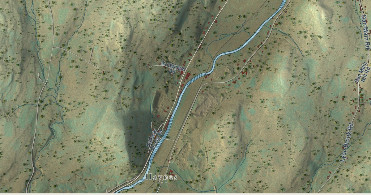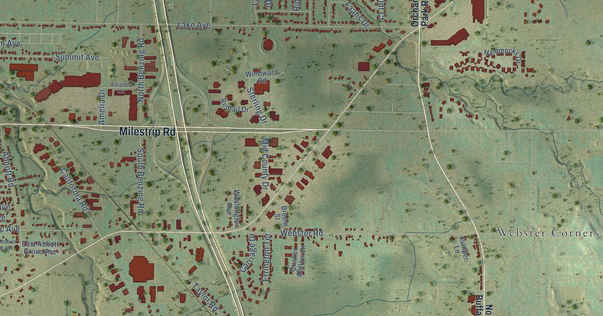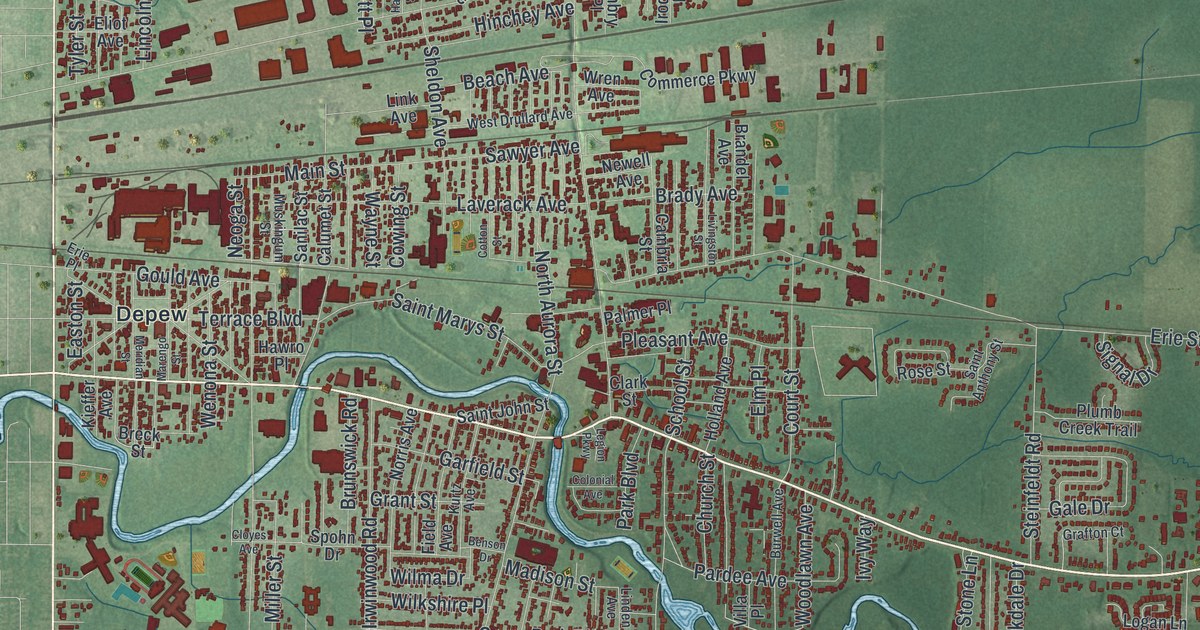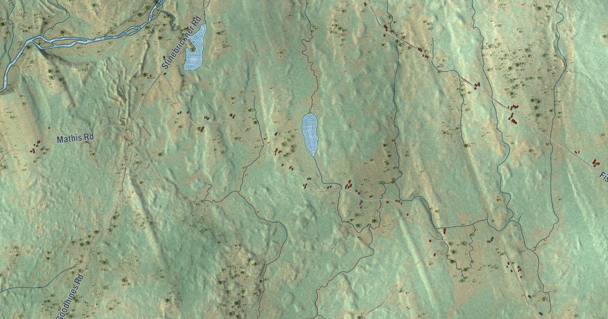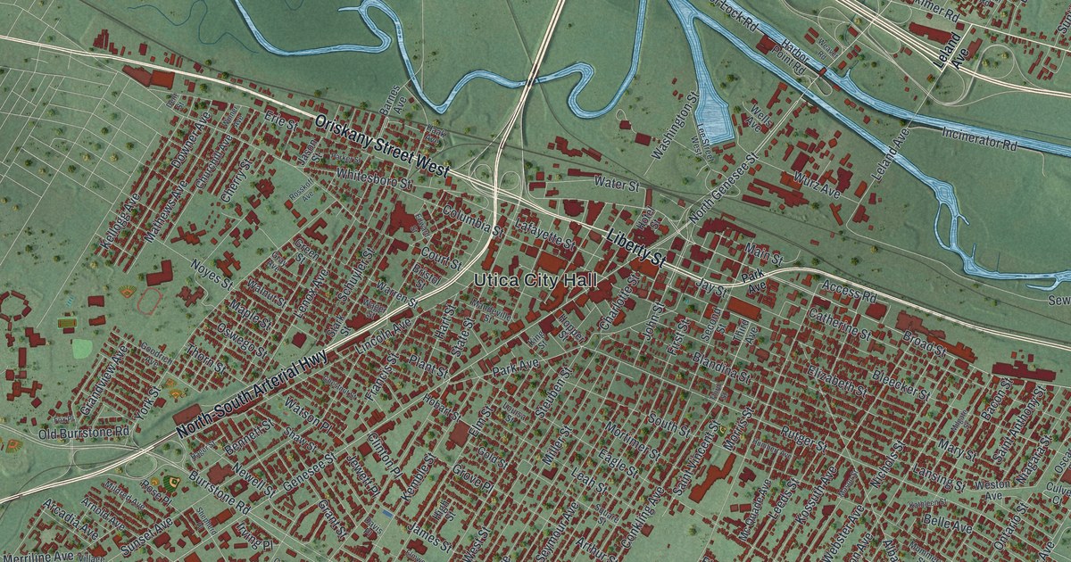
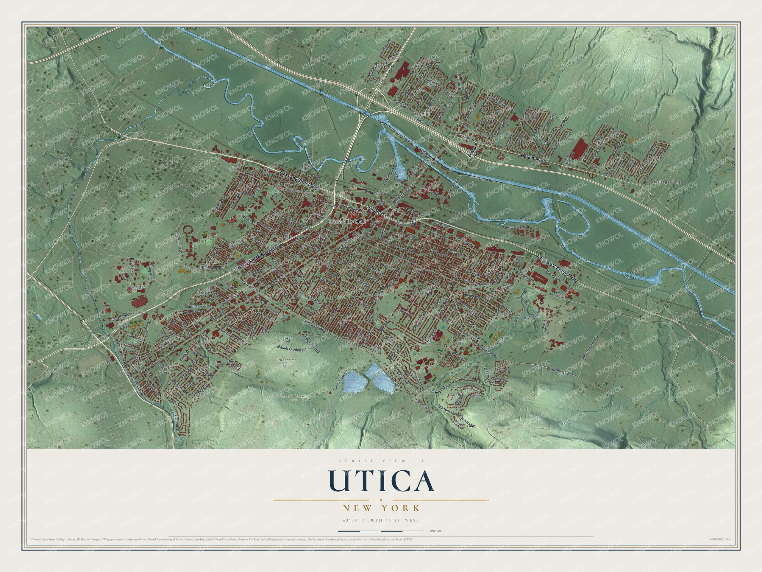
This beautifully detailed map of Utica, New York was created in 2026 using aerial imagery combined with modern topographical, census, street and landmark data. It’s a one-of-a-kind view of Utica that combines accurate data with a vintage aesthetic. The map shows every building in its true location, many of the roads carry their names, and the shaded topographic relief shows the shape of the land.
Explore an aerial view of Utica, New York
On the map you’ll find Utica City Hall, Heritage Acres, Deerfield, Forest Hill Cemetery, and Roscoe Conkling Park, along with Oriskany Street, Liberty Street, North-South Arterial Highway, East-West Arterial Highway, and more. If you look closely you can even find your house accurately drawn in its correct location. Zoom in on the preview to look for yours.
Did You Know?
In 1919, two out of three working Uticans had jobs in textile mills. After World War I, many mills moved to the South. City leaders then courted new industry, and General Electric, Bendix Aviation and Univac built factories here. Locals call the 1940s and 1950s the loom to boom era.
Take a closer look at the Utica map
Names on this map
These names are printed on this map.
Places: Utica City Hall, Heritage Acres, Forest Hill Cemetery, Roscoe Conkling Park, Deerfield and Proctor Park.
Streets and roads: Oriskany Street West, Liberty Street, North-South Arterial Highway, East-West Arterial Highway, Herkimer Road, Broad Street, North Genesee Street, Genesee Street, Whitesboro Street, Memorial Parkway, Parkway East, Riverside Drive.
More street names, A to Z
Access Road, Albany Street, Amy Avenue, Aracia Village Drive, Arcadia Avenue, Arlington Road, Armory Drive, Arnold Avenue, Arthur Street, Bacon Street, Ballantyne Brae, Barnes Avenue, Barton Avenue, Beckwith Place, Beechgrove Place, Belle Avenue, Bennett Street, Blandina Street, Bleecker Street, Boyce Avenue, Briarcliff Avenue, Bristol Street, Brody Drive, Brookline Drive, Buchanan Road, Buckley Road, Burmont Drive, Burrstone Road, Bus Park Court, Bus Park Drive, Campion Road, Carlile Avenue, Catherine Street, Cedarbrook Crescent, Champlin Avenue, Charlotte Street, Chenango Road, Cherry Street, Chestnut Street, Churchill Avenue, Clementian Street, Clinton Place, Colonial Circle, Columbia Street, Conkling Avenue, Cosby Road, Court Street, Coventry Avenue, Crouse Street, Culver Avenue, Culver Court, Davis Place, Dawes Avenue, Deerfield Drive, Deerfield Drive East, Deerfield Drive West, Deland Drive, Dent Street, Dorsey Lane, Downer Avenue, Dudley Avenue, Dwyer Avenue, Eagle Street, East Park Road, Edgewood Road, Edward Street, Eleanor Place, Elhers Avenue, Elizabeth Street, Elmdale Road, Elmhurst Road, Elm Street, Elmwood Place, Emerson Avenue, Erie Street, Euclid Road, Farview Heights, First Street, Foery Drive, Fox Place, Francis Street, French Road, Garden Road, Geer Avenue, Georgian Court, Gilbert Street, Girard Street, Gladys Street, Gold Street, Goodrich Avenue, Grandview Avenue, Grant Street, Gray Avenue, Green Street, Greenwood Court, Grove Place, Haak Avenue, Hager Street, Hammond Avenue, Harbor Lock Road, Harbor Point Road, Harrison Avenue, Harter Place, Hartford Place, Hart Street, Hayes Place, Higby Road, High Street, Hillcrest Manor Court, Hillside Road, Hillview Drive, Hilton Avenue, Hobart Street, Holland Avenue, Hollister Avenue, Hoover Avenue, Hopper Street, Horatio Street, Hotel Street, Howard Avenue, Hughes Street, Humbert Avenue, Incinerator Road, Industrial Park Drive, Irving Place, James Street, Jason Street, Jay Street, Jeanette Drive, Jefferson Avenue, Jewett Place, Jimmy Boulevard, John Street, Karen Court, Kathleen Street, Keck Place, Kellogg Avenue, Kemble Street, Kensington Drive, Keyes Road, King Street, Kossuth Avenue, Lafayette Street, Lansing Street, Larchmont Avenue, Leah Street, Lee Boulevard, Leeds Street, Lee Street West, Leland Avenue, Lenox Avenue, Lincoln Avenue, Lin Road, Locust Drive, Lomond Court, Lomond Place, Lorraine Avenue, Louisa Street, Ludlow Avenue, Lynch Avenue, Lyon Place, Madison Avenue, Main Street, Mandeville Street, Manor Place, Maple Street, Marilyn Drive, Mary Street, Masonic Home, Mason Street, Master Garden Road, Mathews Avenue, Mc Quade Avenue, Meeker Avenue, Melrose Avenue, Melvin Road, Merriline Avenue, Mildred Avenue, Milgate Street, Miller Street, Mohawk Street, Monroe Street, Morris Street, Mortimer Street, Mummery Street, Newell Street, Niagara Street, Nichols Street, Nob Road, Northrup Drive, Notre Dame Lane, Noyes Street, Old Burrstone Road, Oneida Mobile Court, Oneida Street, Ontario Street, Oscar Street, Oswego Street, Ottillia Street, Park Avenue, Park Edge Drive, Parker Street, Parklane Drive, Parkside Court, Park Street, Patriot Circle, Plant Street, Pleasant Street, Pond Lane, Portal Road, Proctor Boulevard, Prospect Street, Remington Road, Rhoads Drive, Richardson Avenue, Ridge Road, River Road, Robin Road, Roosevelt Drive, Roseclair Avenue, Rose Place, Rosskoff Avenue, Rugby Road, Russet Bush Road, Rutger Street, Saint Agnes Avenue, Saint Anthony Street, Saint Vincent Street, School Road, Schuyler Street, Second Street, Settlers Psge, Sewage Plant Road, Seward Avenue, Seymour Avenue, Shaw Street, Shepherd Place, Sherman Drive, South Park Drive, South Street, Spratt Place, Square Street, Stark Street, State Street, Steele Hill Road, Steuben Street, Storrs Avenue, Sunlit Terrace, Sunnyside Drive, Sunset Avenue, Talcott Road, Tamarack Street, Taylor Avenue, Temp Road, The Hills Drive, Thieme Place, Third Avenue, Third Street, Thorn Street, Tilden Avenue, Tilden Lane, Trenton Road, Tryon Road, Turner Street, Utica Road, Valley View Road, Van Buren Street, Van Dyke Road, Van Ellis Road, Victoria Drive, Village Road, Wager Street, Walnut Street, Ward Street, Warren Street, Washington Street, Water Street, Watson Place, Weaver Road, Webster Avenue, Wells Avenue, Welshbush Road, Welsh Bush Road, Weston Avenue, West Street, White Birch Road, Williamsburg Road, Willow Drive, Winner Avenue, Woodhaven Road, Woodlawn Avenue East, Wurz Avenue, York Street.
See it on a wall
The Utica map as a framed print. Swipe for more.


This beautifully detailed map of Utica makes an attractive addition to your office, library, or den, and it can even be used to teach children the geography and history of the area. It also makes a great gift for anyone who grew up in Utica or moved away. When you’re done exploring, click here to get your copy of the Utica map.