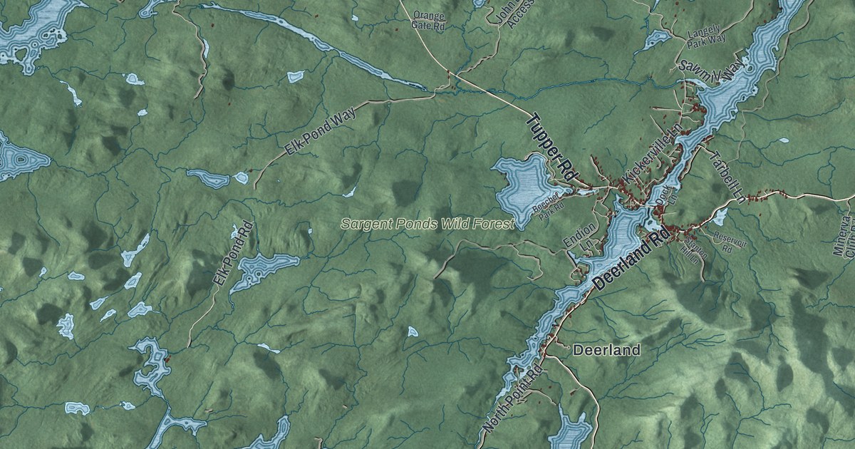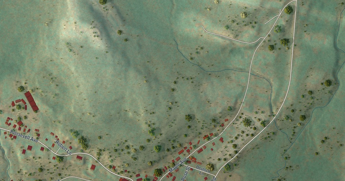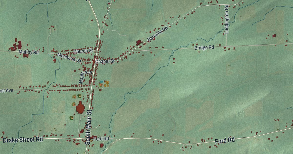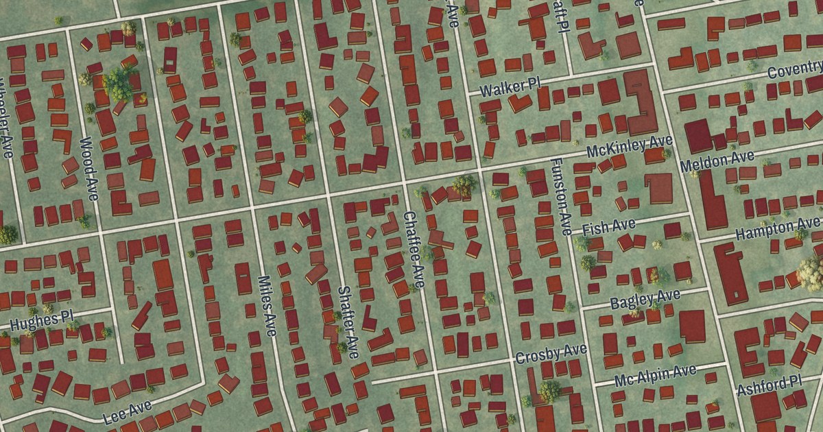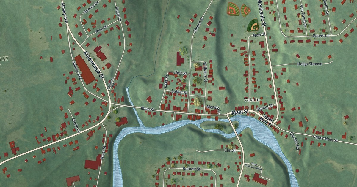
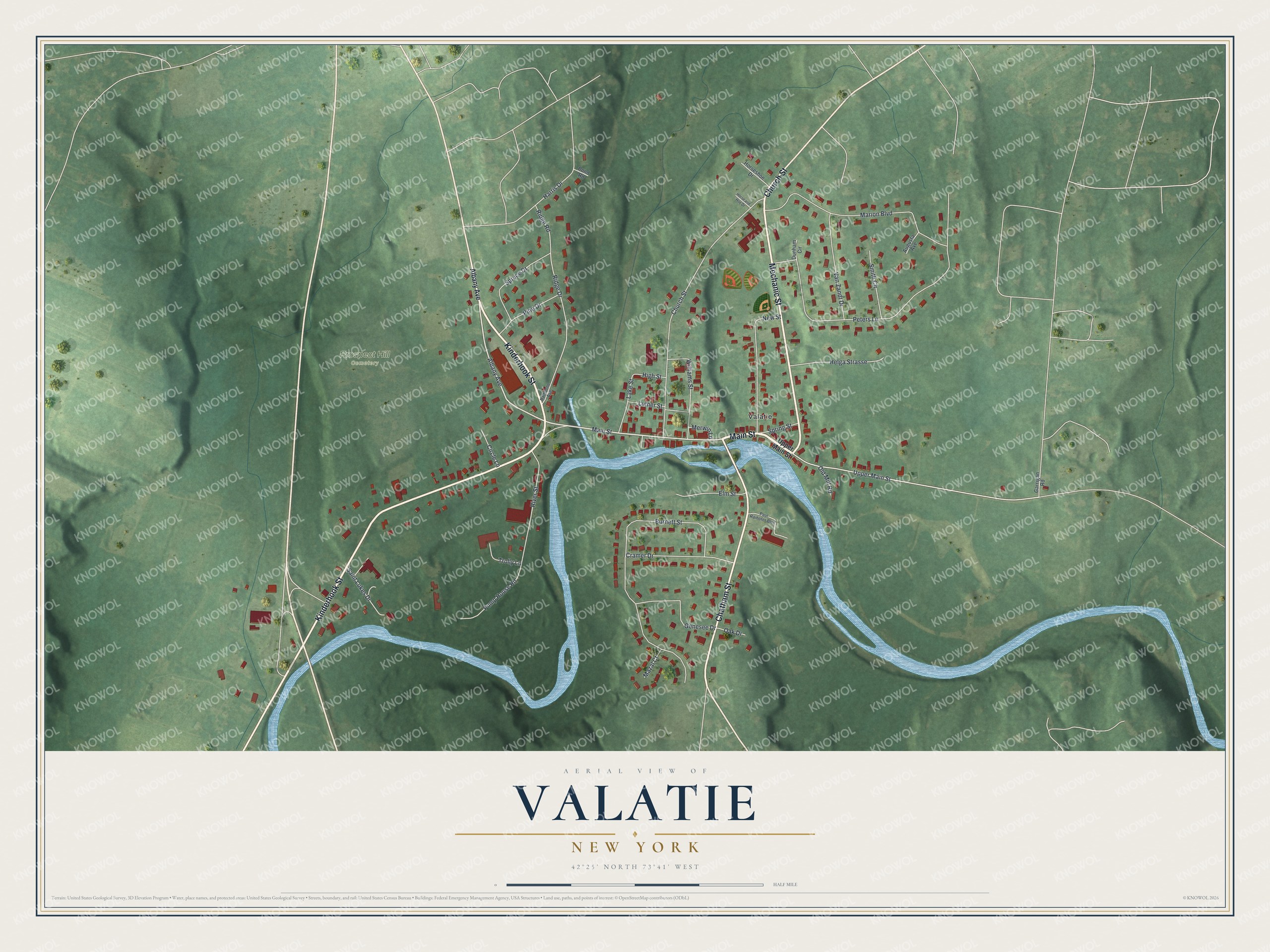
This beautifully detailed map of Valatie, New York was created in 2026 using aerial imagery combined with modern topographical, census, street and landmark data. It’s a one-of-a-kind view of Valatie that combines accurate data with a vintage aesthetic. The map shows every building in its true location, many of the roads carry their names, and the shaded topographic relief shows the shape of the land.
Explore an aerial view of Valatie, New York
On the map you’ll find Prospect Hill Cemetery, along with Main Street, Mechanic Street, Kinderhook Street, Chatham Street, Church Street, and more. If you look closely you can even find your house accurately drawn in its correct location. Zoom in on the preview to look for yours.
Did You Know?
Dutch settlers named the area Valletje, meaning little falls. By the early 1800s, nine cotton mills here ran on power from the waterfalls. In 1946, fifteen village veterans founded the nation’s first Santa Claus Club to bring gifts to critically ill children.
Take a closer look at the Valatie map
Names on this map
These names are printed on this map.
Places: Prospect Hill Cemetery and Valatie.
Streets and roads: Main Street, Mechanic Street, Kinderhook Street, Chatham Street, Church Street, Albany Avenue, Upper Main Street, Ridge Drive, Burnett Street, Peters Lane, Marion Boulevard, New Street.
More street names, A to Z
Augusta Avenue, Circle Lane, Cramer Drive, Dunham Circle, Elm Street, Garrigan Road, Genesee Drive, Harris Drive, Helga Strasse, High Street, Horse and Hoe Drive, Horseshoe Drive, Lake Street, Luther Street, Mazal Court, Merwin Lane, Oak Drive, Old Mill Road, Paul Raihofer Boulevard, Pine Drive, Pond Road, Pump House Road, Rathbone Avenue, Ridge Road, River Street, Saint Lukes Drive, Smith Circle, Spring Street, Spruce Drive, Trolly Lane, Van Zandt Drive, Williams Street.
See it on a wall
The Valatie map as a framed print. Swipe for more.


This beautifully detailed map of Valatie makes an attractive addition to your office, library, or den, and it can even be used to teach children the geography and history of the area. It also makes a great gift for anyone with Valatie roots. When you’re done exploring, click here to get your copy of the Valatie map.