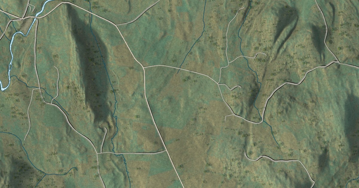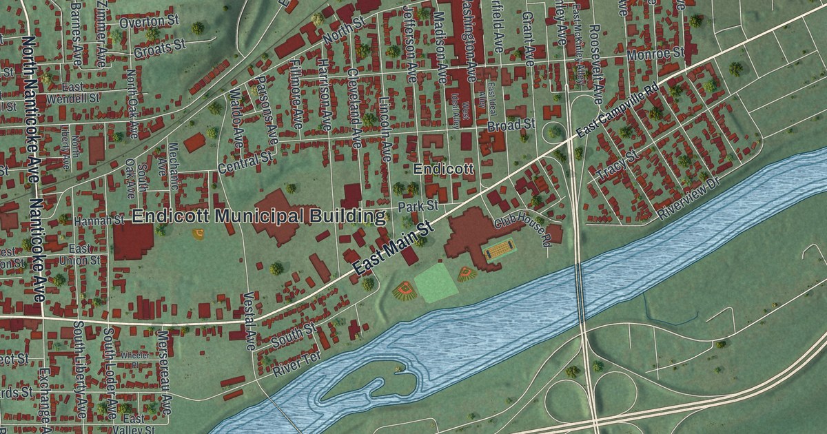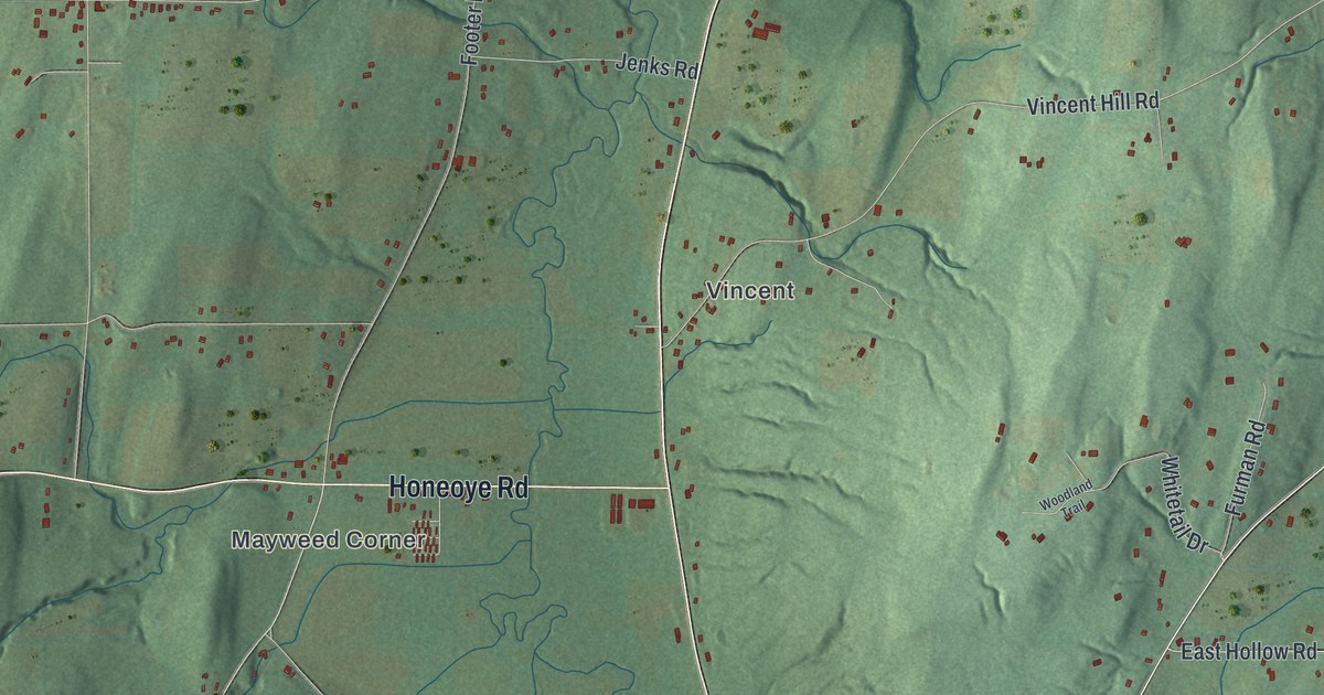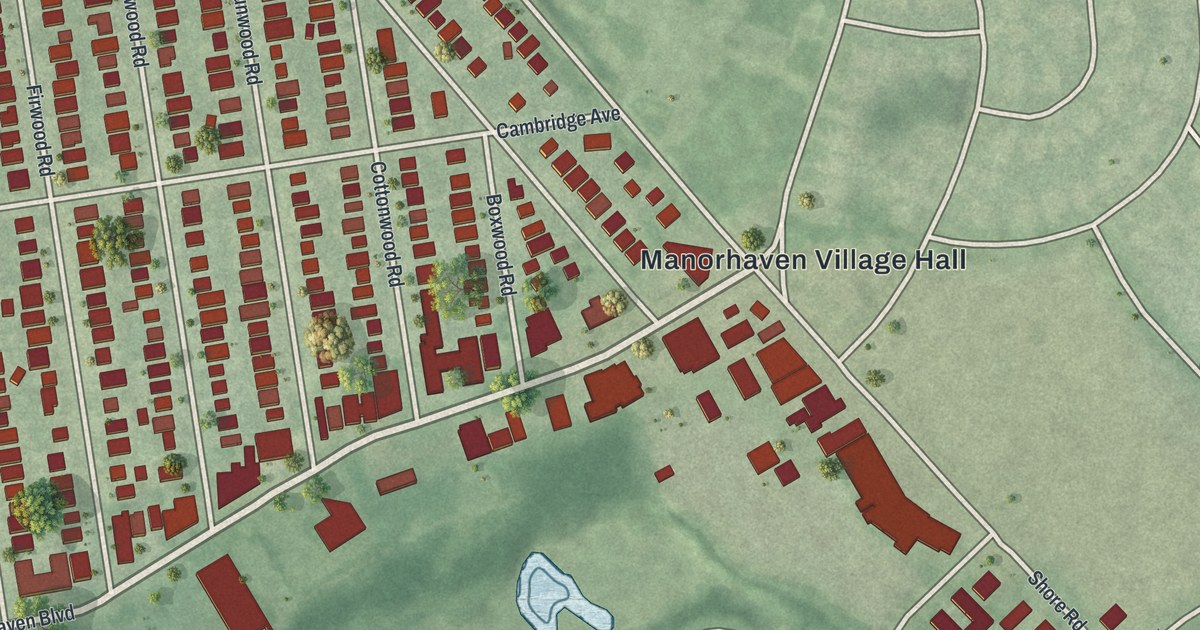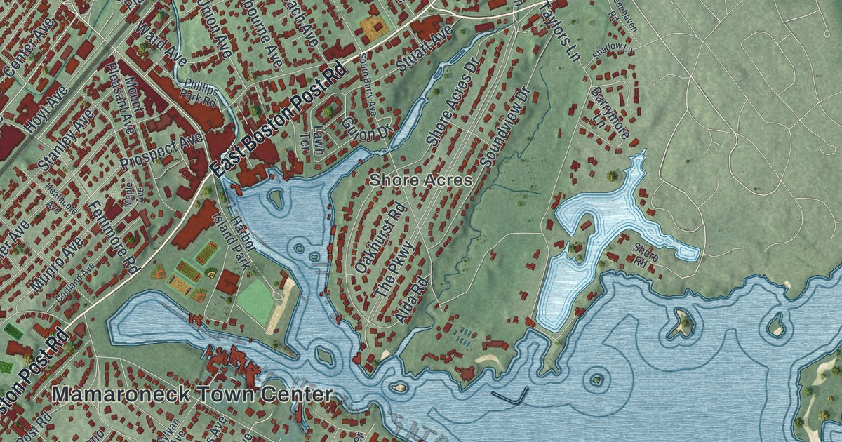
This beautifully detailed map of the Village of Mamaroneck, New York was created in 2026 using aerial imagery combined with modern topographical, census, street and landmark data. It’s a one-of-a-kind view of the Village of Mamaroneck that combines accurate data with a vintage aesthetic. The map shows every building in its true location, many of the roads carry their names, and the shaded topographic relief shows the shape of the land.
Explore an aerial view of the Village of Mamaroneck, New York
On the map you’ll find Mamaroneck Town Center, Harbor Heights, Shore Acres, and Orienta, along with Boston Post Road, Harrison Avenue, Mamaroneck Avenue, Waverly Avenue, and more. If you look closely you can even find your house accurately drawn in its correct location. Zoom in on the preview to look for yours.
Did You Know?
Mamaroneck began as farms on both banks of the Mamaroneck River. In the 1890s, those two halves joined as one village, which incorporated in 1895 with about 1,500 people. Wealthy New York City families once kept summer homes in Greenhaven, Orienta and Shore Acres.
Take a closer look at the Village of Mamaroneck map
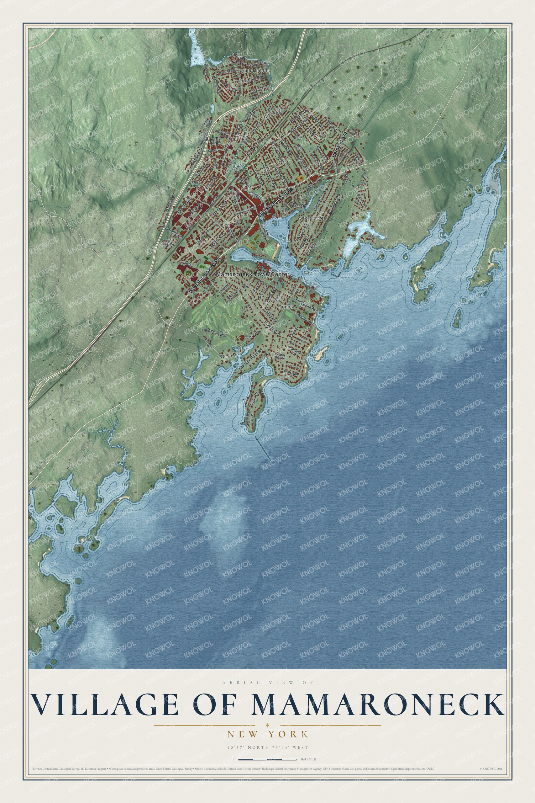
Names on this map
These names are printed on this map.
Places: Mamaroneck Town Center, Harbor Heights, Shore Acres, Orienta and Harbor Island Park.
Streets and roads: East Boston Post Road, West Boston Post Road, Harrison Avenue, Mamaroneck Avenue, Waverly Avenue, Halstead Avenue, The Parkway, Fifth Street, Orienta Avenue, Taylors Lane, Palmer Avenue, Rushmore Avenue.
More street names, A to Z
Alda Road, Baldwin Place, Barrymore Lane, Beach Avenue, Beach Point Club, Bleeker Avenue, Carroll Avenue, Center Avenue, Chestnut Avenue, Claflin Avenue, Constable Drive, Cortland Avenue, Cove Road, Eagle Knolls Road, Fairway Avenue, Fairway Lane, Fayette Avenue, Fenimore Road, First Street, Flagler Drive, Florence Street, Forest Avenue, Fourth Street, Frank Avenue, Franklin Avenue, Fulton Road, Gertrude Avenue, Grand Street, Grant Terrace, Greacen Point Road, Greenhaven Road, Grove Street, Guion Drive, Harmon Drive, Heathcote Avenue, Highview Street, Hillside Avenue, Hommocks Road, Hoyt Avenue, Hunter Street, Jefferson Avenue, Jensen Avenue, Knollwood Avenue, Lawn Terrace, Lawrence Avenue, Lester Avenue, Madison Street, Maple Avenue, Melbourne Avenue, Mount Pleasant Avenue, Munro Avenue, Nautilus Lane, New Street, Nine Acres Lane, North Barry Avenue, Oakhurst Road, Oak Lane, Old Post Road, Park Avenue, Phillips Park Road, Pirates Cove Lane, Plaza Avenue, Prospect Avenue, Protano Lane, Railroad Way, Raleigh Road, Ralph Avenue, Rockland Avenue, Rock Ridge, Rockridge Road, Saxon Drive, Seahaven Drive, Seney Avenue, Seven Oaks Lane, Shadow Lane, Shore Acres Drive, Shore Road, Skibo Lane, Soundview Drive, South Barry Avenue, Stanley Avenue, Station Plaza, Sterling Avenue, Stiles Avenue, Stoneybrook Avenue, Stuart Avenue, Sunset Road, Sylvan Avenue, Sylvan Lane, Third Street, Travers Avenue, Tulip Tree Lane, Union Avenue, Urban Street, Van Ranst Place, Wagner Avenue, Walton Avenue, Ward Avenue, West Flagler Drive, West Street, Wood Street.
See it on a wall
The Mamaroneck map as a framed print. Swipe for more.


This beautifully detailed map of the Village of Mamaroneck makes an attractive addition to your office, library, or den, and it can even be used to teach children the geography and history of the area. It also makes a great gift for anyone who grew up in the Village of Mamaroneck or moved away. When you’re done exploring, click here to get your copy of the Village of Mamaroneck map.