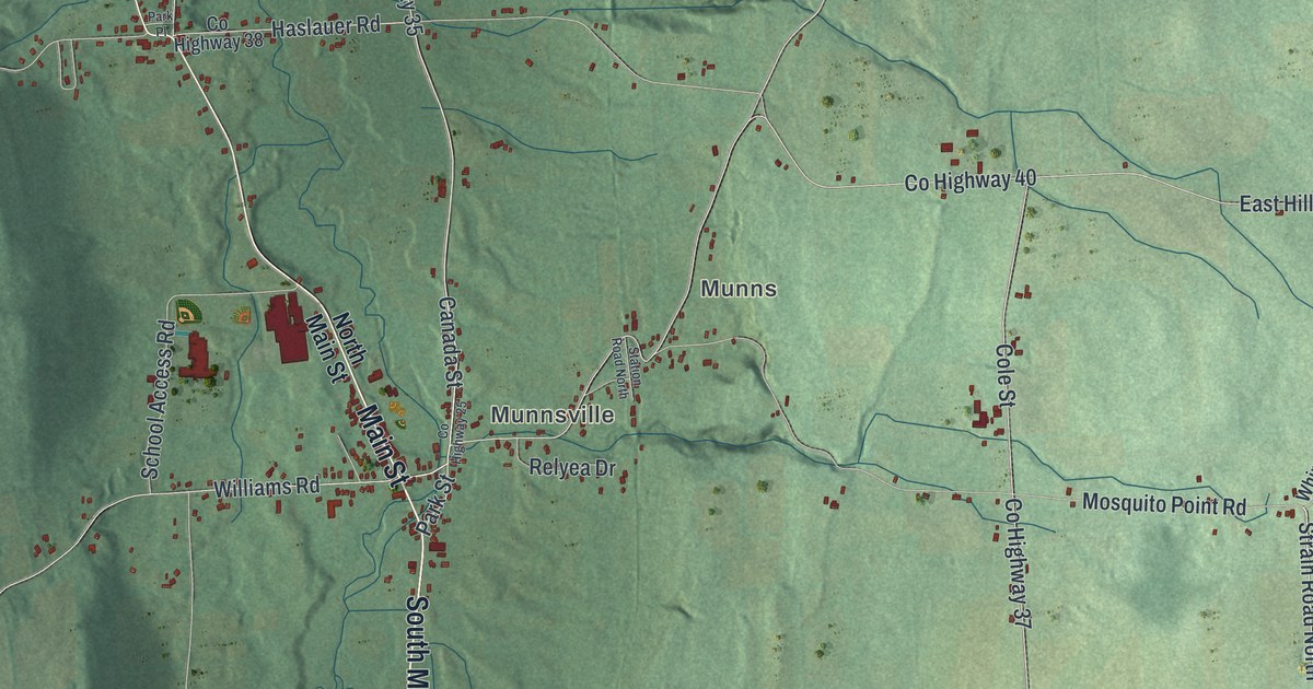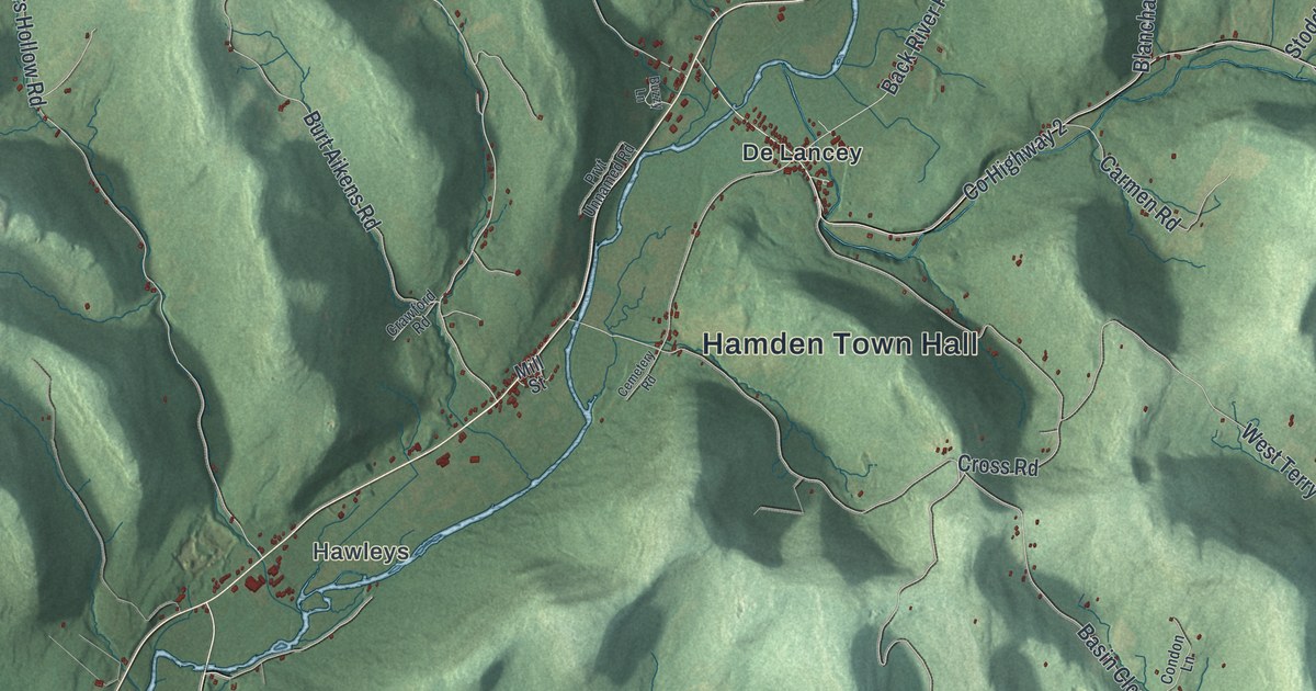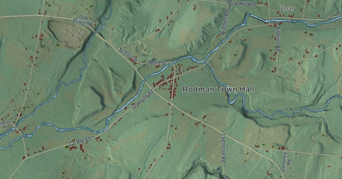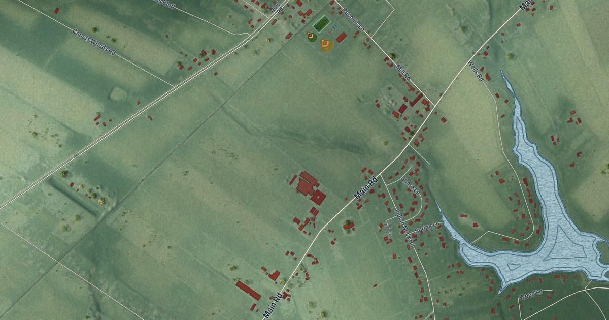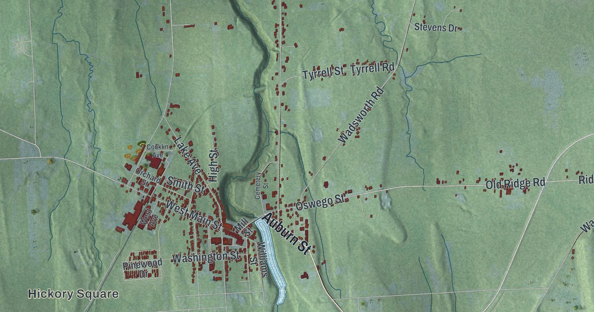
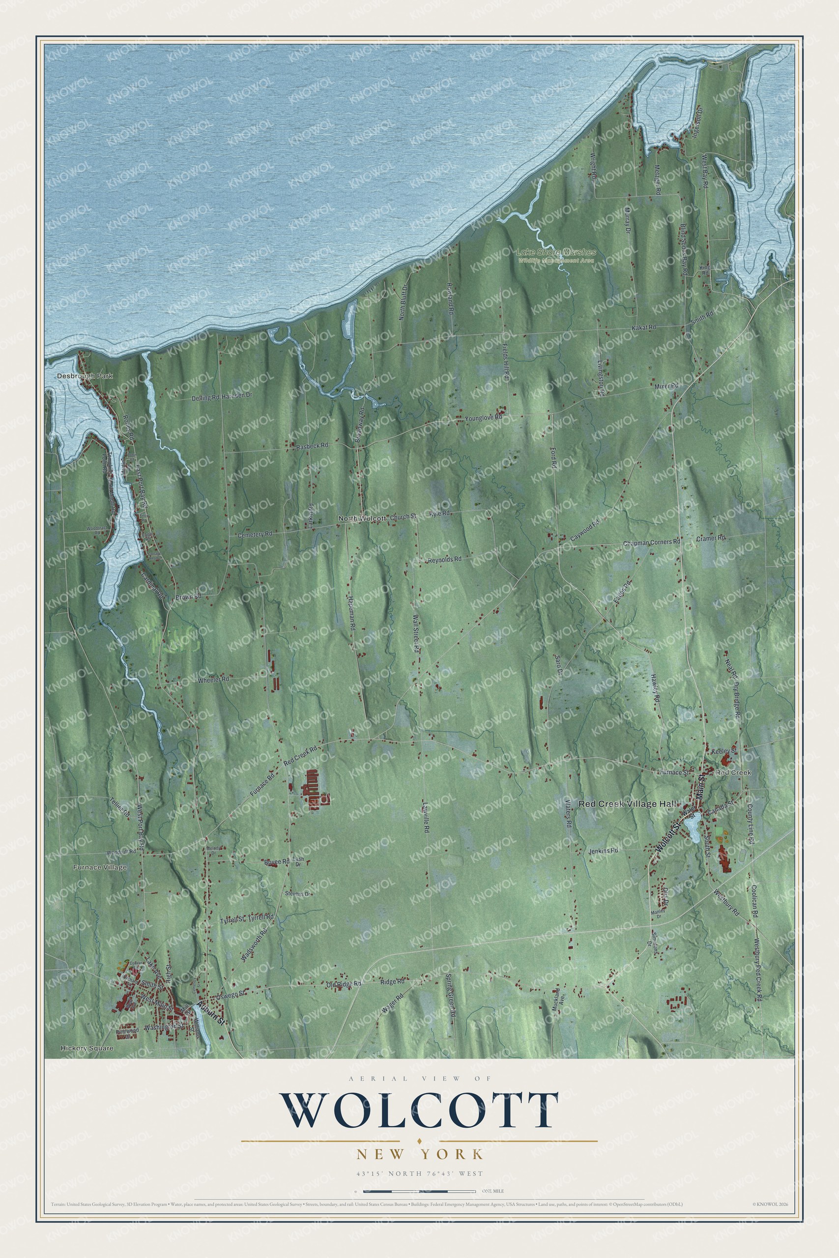
This beautifully detailed map of Wolcott, New York was created in 2026 using aerial imagery combined with modern topographical, census, street and landmark data. It’s a one-of-a-kind view of Wolcott that combines accurate data with a vintage aesthetic. The map shows every building in its true location, many of the roads carry their names, and the shaded topographic relief shows the shape of the land.
Explore an aerial view of Wolcott, New York
On the map you’ll find Red Creek Village Hall, Hickory Square, Furnace Village, Red Creek, Desbrough Park, North Wolcott, and Lake Shore Marshes Wildlife Management Area, along with Wolcott Street, Main Street, Auburn Street, Water Street, and more. If you look closely you can even find your house accurately drawn in its correct location. Zoom in on the preview to look for yours.
Did You Know?
Wolcott is named for Governor Oliver Wolcott of Connecticut. Settlers began arriving around 1807, the same year the town was formed from Junius. After iron ore was found in the county, the Wolcott furnace north of the village smelted iron from 1821 to 1869.
Take a closer look at the Wolcott map
Names on this map
These names are printed on this map.
Places: Red Creek Village Hall, Hickory Square, Furnace Village, Red Creek, Desbrough Park, Lake Shore Marshes Wildlife Management Area and North Wolcott.
Streets and roads: Wolcott Street, Main Street, Auburn Street, Red Creek Road, Hawley Road, Church Street, South Street, Ford Road, Younglove Road, Canada Street, Furnace Street, Coolican Road.
More street names, A to Z
Blind Sodus Bay Road, Bovee Road, Broadway Road, Brown Road, Cardinal Road, Caywood Road, Cemetery Road, Cemetery Street, Chapman Corners Road, Conklin Avenue, Cottage Road 2, County Line Road, Cramer Road, Delling Road, Dry Bridge Road, Eades Road, Eagle Road, East Port Bay Road, Fields Hill Road, Finch Road, Furnace Road, Hapeman Road, Harnden Drive, High Street, Howland Road, Ingersoll Drive, Jenkins Road, Kakat Road, Keeley Street, King Road, Kyle Road, Lake Avenue, Larkin Road, Lash Drive, Lawville Road, Livingston Road, Manley Drive, Martin Road, Melody Drive, Metzger Road, Mill Street, Mixer Road, Muckland Avenue, Murray Drive, Neal Road, North Bluff Drive, North Maple Road, Old Ridge Road, Orchard Street, Oswego Street, Otis Drive, Pinewood Drive, Rasbeck Road, Reynolds Road, Ridge Road, Robin Road, Roney Road, Saro Drive, Simmons Drive, Smith Road, Smith Street, Spring Green Road, Stevens Drive, Tellier Road, Tompkins Point Road, Tyrrell Road, Tyrrell Street, Wadsworth Road, Wager Road, Wall Street Road, Washington Street, Waters Road, Water Street, West Avenue, West Bay Road, Westbury Red Creek Road, Westbury Road, West Main Street, West Port Bay Road, Wheeler Road, Williams Street, Woodruff Road, Woodtract Road, Wright Road.
See it on a wall
The Wolcott map as a framed print. Swipe for more.


This beautifully detailed map of Wolcott makes an attractive addition to your office, library, or den, and it can even be used to teach children the geography and history of the area. It also makes a great gift for anyone who grew up in Wolcott or moved away. When you’re done exploring, click here to get your copy of the Wolcott map.