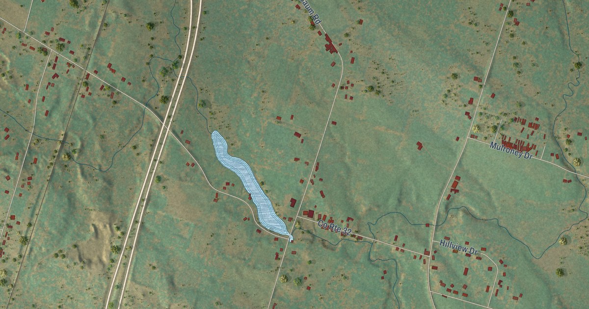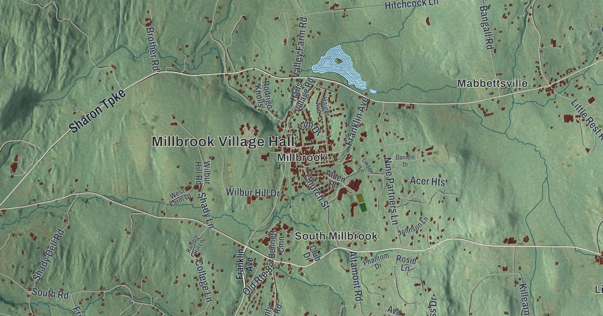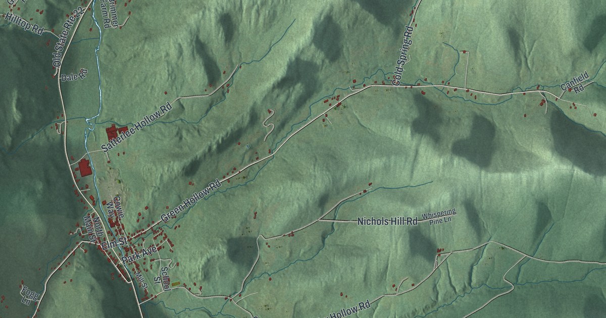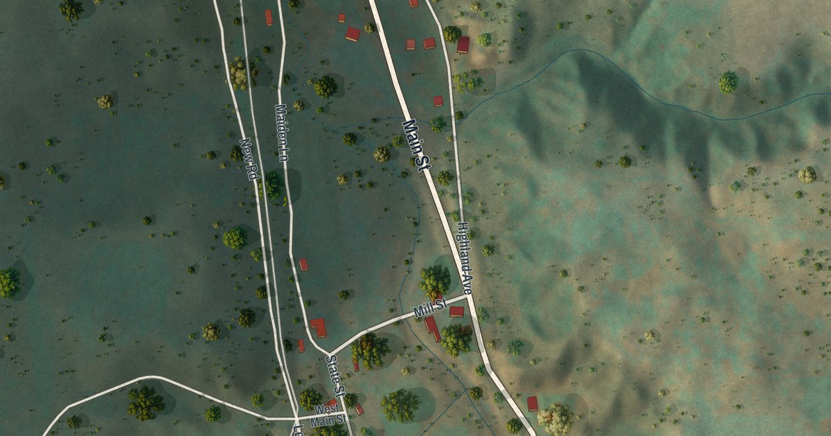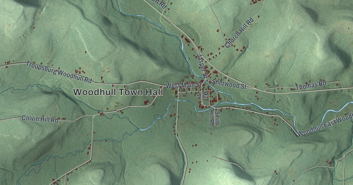
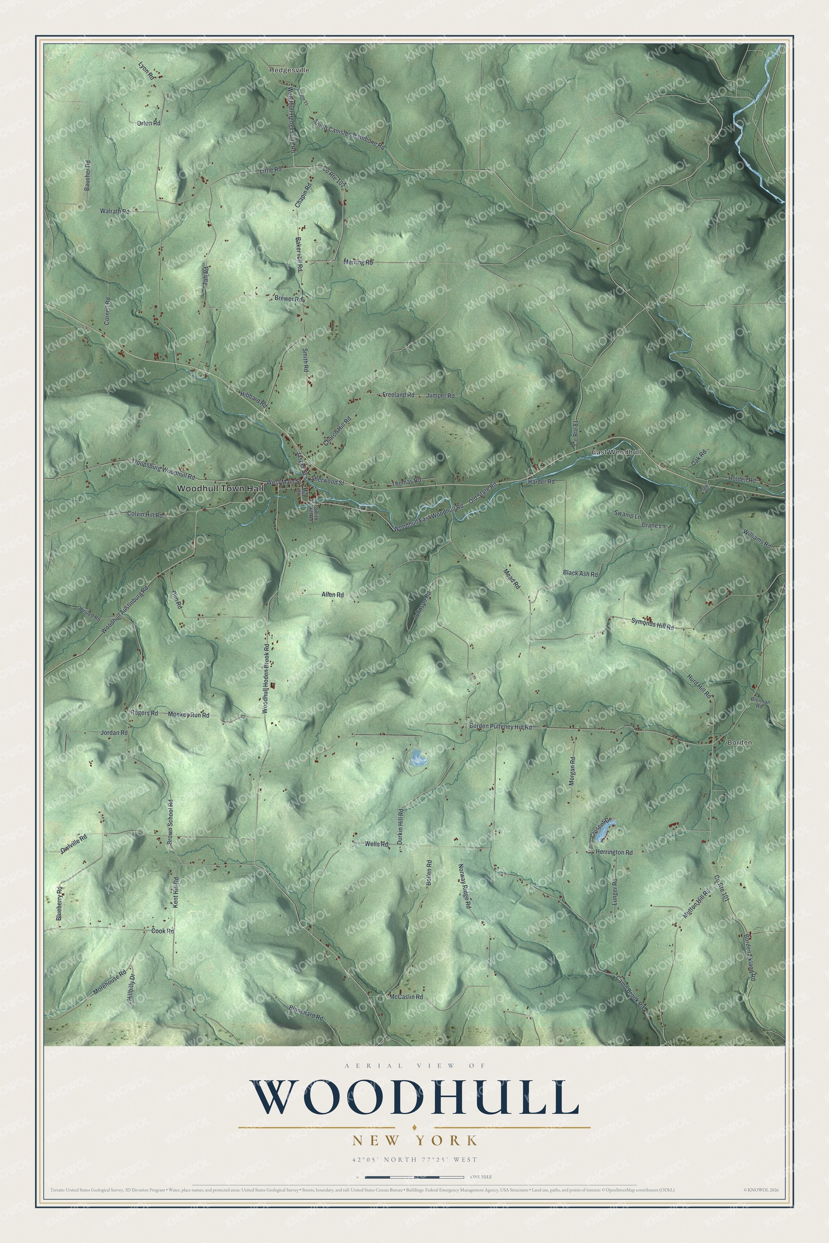
This beautifully detailed map of Woodhull, New York was created in 2026 using aerial imagery combined with modern topographical, census, street and landmark data. It’s a one-of-a-kind view of Woodhull that combines accurate data with a vintage aesthetic. The map shows every building in its true location, many of the roads carry their names, and the shaded topographic relief shows the shape of the land.
Explore an aerial view of Woodhull, New York
On the map you’ll find Woodhull Town Hall, Hedgesville, Borden, and East Woodhull, along with Woodhull Hedgesville Road, Woodhull East Woodhull Road, Woodhull Hoden Brook Road, Sherwood Street, and more. If you look closely you can even find your house accurately drawn in its correct location. Zoom in on the preview to look for yours.
Did You Know?
The town was created in 1828 and named in honor of General Nathaniel Woodhull, a Revolutionary War officer and patriot. Caleb Smith came from Orange County in 1806 and built the first saw and grist mills. High water swept away his mills and dam in 1807. George Martin built the second mill in 1812. That’s from the 1896 Landmarks of Steuben County, New York.
Take a closer look at the Woodhull map
Names on this map
These names are printed on this map.
Places: Woodhull Town Hall, Hedgesville, Borden and East Woodhull.
Streets and roads: Woodhull Hedgesville Road, Woodhull East Woodhull Road, Woodhull Hoden Brook Road, Sherwood Street, Troupsburg Woodhull Road, Owlville Road, West Main Street, South Canisteo Rathbone Road, Old State Road, County Route 101, Herrington Road, Borden Pulteney Hill Road.
More street names, A to Z
Allen Road, Baker Hill Road, Baucher Road, Black Ash Road, Blanchard Road, Blueberry Road, Bollen Road, Borden Ekland Road, Brennan Road, Brewer Road, Brown School Road, Camp Brook Road, Chapin Road, Church Hill Road, Colvin Hill Road, Cook Road, Cornell Road, County Route 21, County Route 81, County Route 102, Crane Lane, Cresent Drive, Durkin Hill Road, Freeland Road, Harder Road, Hibbard Road, Hillbilly Drive, Holden Road, Hurd Hill Road, Husted Road, Jasper Street, Johnson Road, Jordan Road, Jumper Road, Kent Hill Road, Little Road, Lunger Road, Lyon Road, McCaslin Road, Mead Road, Merring Road, Mill Street, Monkey Run Road, Morehouse Road, Morgan Road, Mutton Hill Road, Norway Ridge Road, Oak Road, Olin Road, Orton Road, Parks Road, Rogers Road, Smith Hill Road, Smith Road, Swamp Lane, Symonds Hill Road, Taft Road, Thomas Road, Walrath Road, Wells Road, Williams Road, Woodhull Austinburg Road.
See it on a wall
The Woodhull map as a framed print. Swipe for more.


This beautifully detailed map of Woodhull makes an attractive addition to your office, library, or den, and it can even be used to teach children the geography and history of the area. It also makes a great gift for anyone with Woodhull roots. When you’re done exploring, click here to get your copy of the Woodhull map.