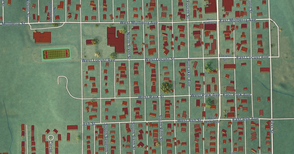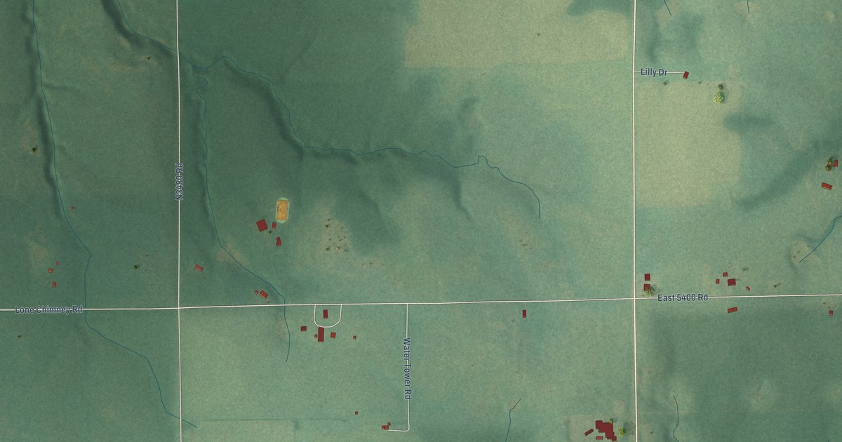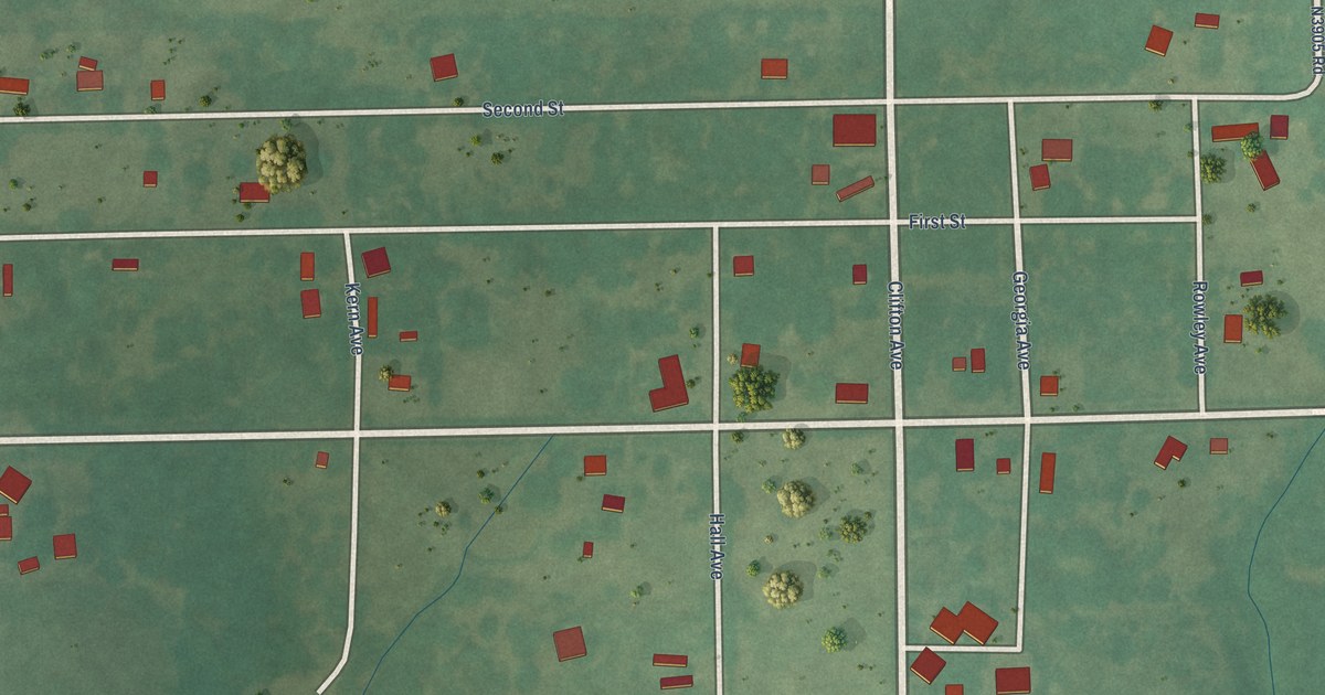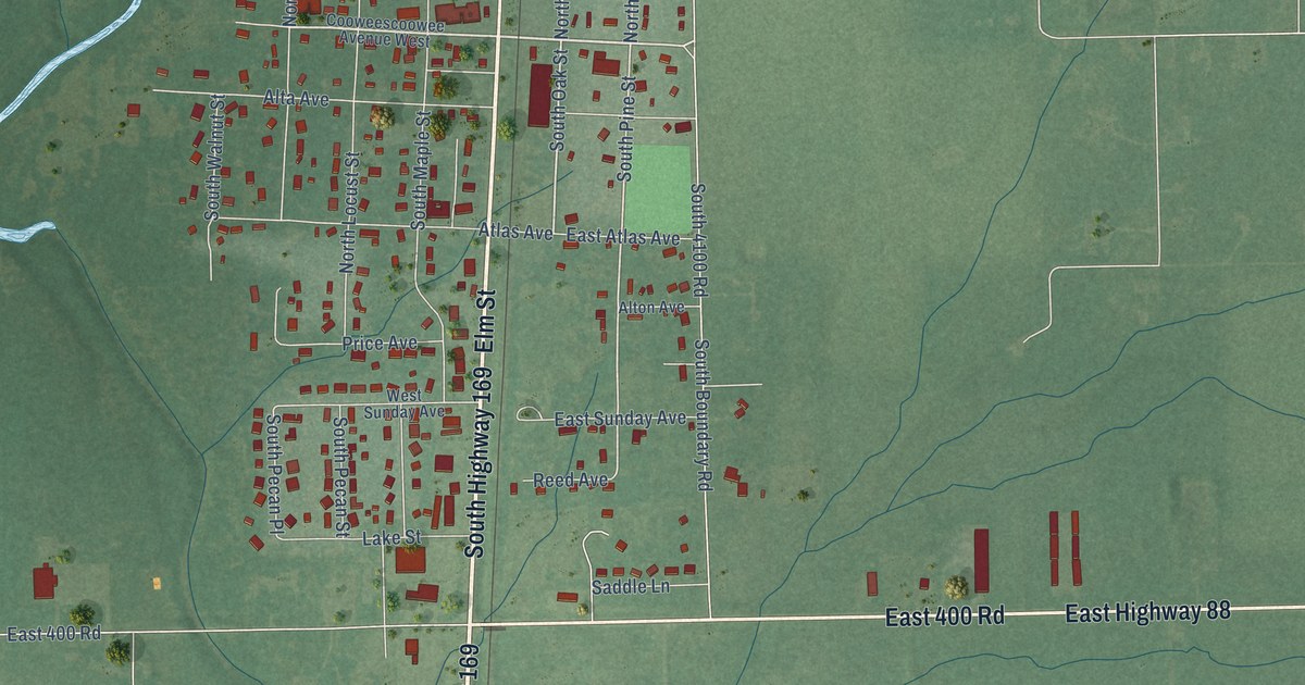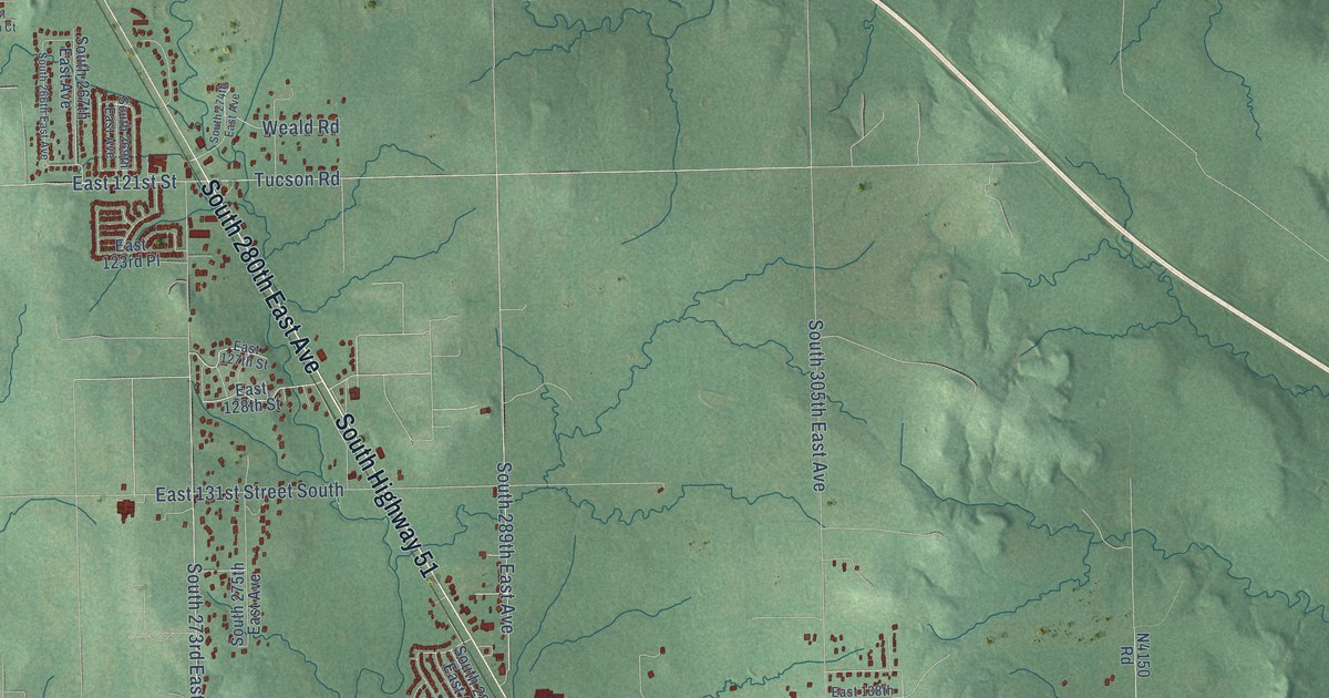
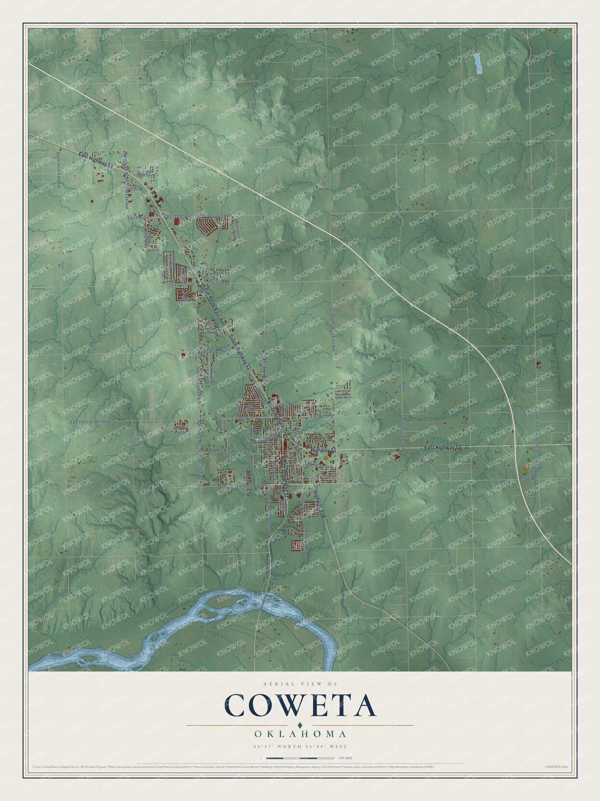
This beautifully detailed map of Coweta, Oklahoma was created in 2026 using aerial imagery combined with modern topographical, census, street and landmark data. It's a modern aerial view of Coweta in Wagoner County, Oklahoma, that combines modern data with a vintage aesthetic. The roads feature printed names, and if you look closely you can find your exact house accurately shown in its correct location.
Explore an aerial view of Coweta, Oklahoma
On this map you'll find City of Coweta, Oneta, South Broadway Street, South 280th East Avenue, South Highway 51, East Highway 51, North Highway 51, Highway 51, Highway 51B, Cl Box, East 151st Street South, East Pecan Street, and more. Each red shape is a building, so zoom in on the preview and look for yours.
Coweta has a story worth telling. The record at okhistory.org puts it this way: "The first newspapers to serve Coweta were the Coweta Courier , founded in 1903, and the Coweta Times , which began publication in 1905."
Coweta is a city in Wagoner County.
Take a closer look at the Coweta map
Names on this map
These names are printed on this map.
Places: City of Coweta and Oneta.
Streets and roads: South Broadway Street, South 280th East Avenue, South Highway 51, East Highway 51, North Highway 51, Highway 51, Cl Box, East 151st Street South, East Pecan Street, South Division Street, North Fairland Avenue, South Divison Street.
More street names, A to Z
151 Street, 264th Avenue, 297th Street, 302nd East Avenue, Cedar Court Road, Coweta Hs Access Road, East 104th Street South, East 107th Street, East 111th Street, East 111th Street South, East 115th Court, East 121st Street, East 121st Street South, East 123rd Place, East 127th Street, East 128th Street, East 131st Street South, East 138th Street South, East 139th Street, East 141st Street, East 141st Street South, East 143 Road Street, East 146th Street South, East Florence Street, East North Street, Eo730 Road, Eufaula Avenue, Floyd Street, Lamar Street, Lone Star Road, Midway Road, North Bixby Street, North Bristow Avenue, North Division Street, North Elm Street, North Water Street, Oak Grove Road, Oneta Road, Sarty Road, South 241st East Avenue, South 257th East Avenue, South 261st East Avenue, South 266th East Avenue, South 267th East Avenue, South 269th East Avenue, South 273rd East Avenue, South 274th East Avenue, South 275th East Avenue, South 278th East Avenue, South 282nd East Avenue, South 283rd East Avenue, South 287th East Avenue, South 289th East Avenue, South 292nd East Avenue, South 297th East Avenue, South 305th East Avenue, South 321st East Avenue, South 353rd East Avenue, South Atoka Avenue, South Bixby Street, Tucson Road, Weald Road, West North Street, West Oak Street.
Created by KNOWOL in 2026. The buildings are small red shapes, the roads carry their printed names, and shaded relief shows the shape of the land. The title panel reads "AERIAL VIEW OF COWETA OKLAHOMA" with 35°57' NORTH 95°39' WEST.
It looks right in a kitchen, an office or a den, and it's a gift for anyone who grew up in Coweta or moved away. Open the preview and find your street. See sizes and frames for the Coweta map.