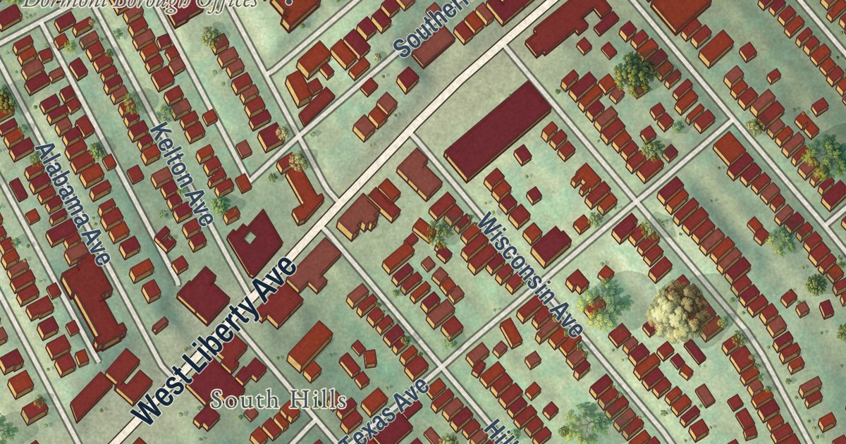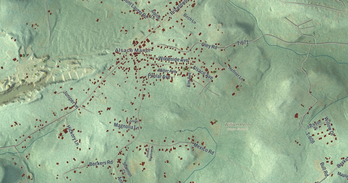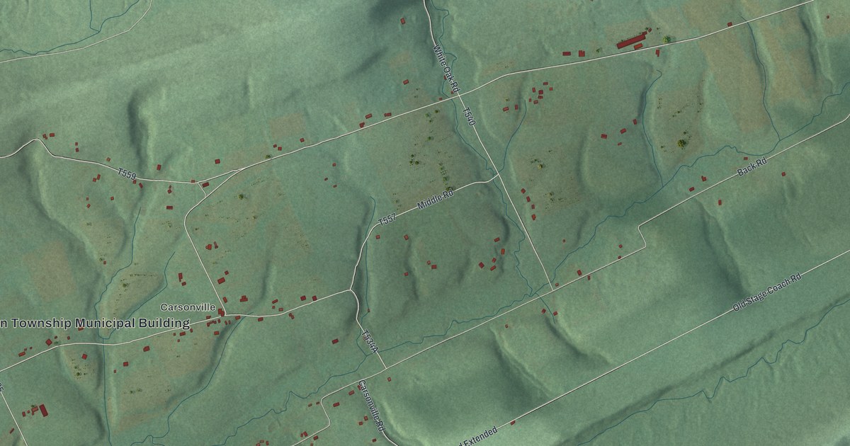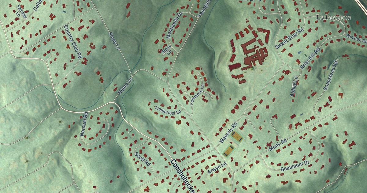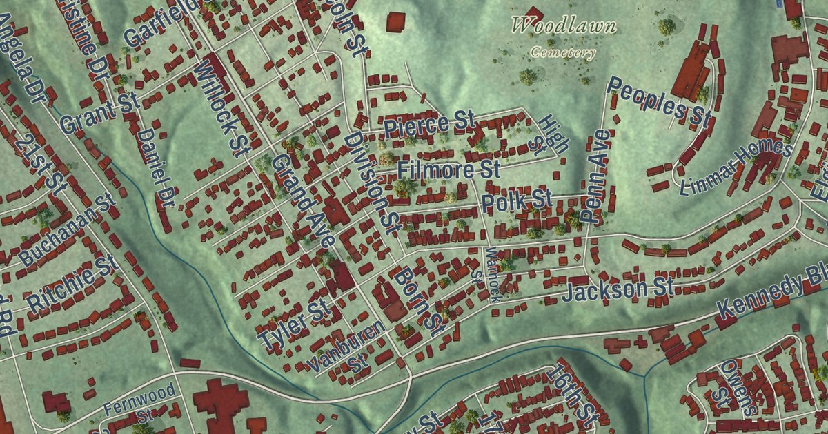
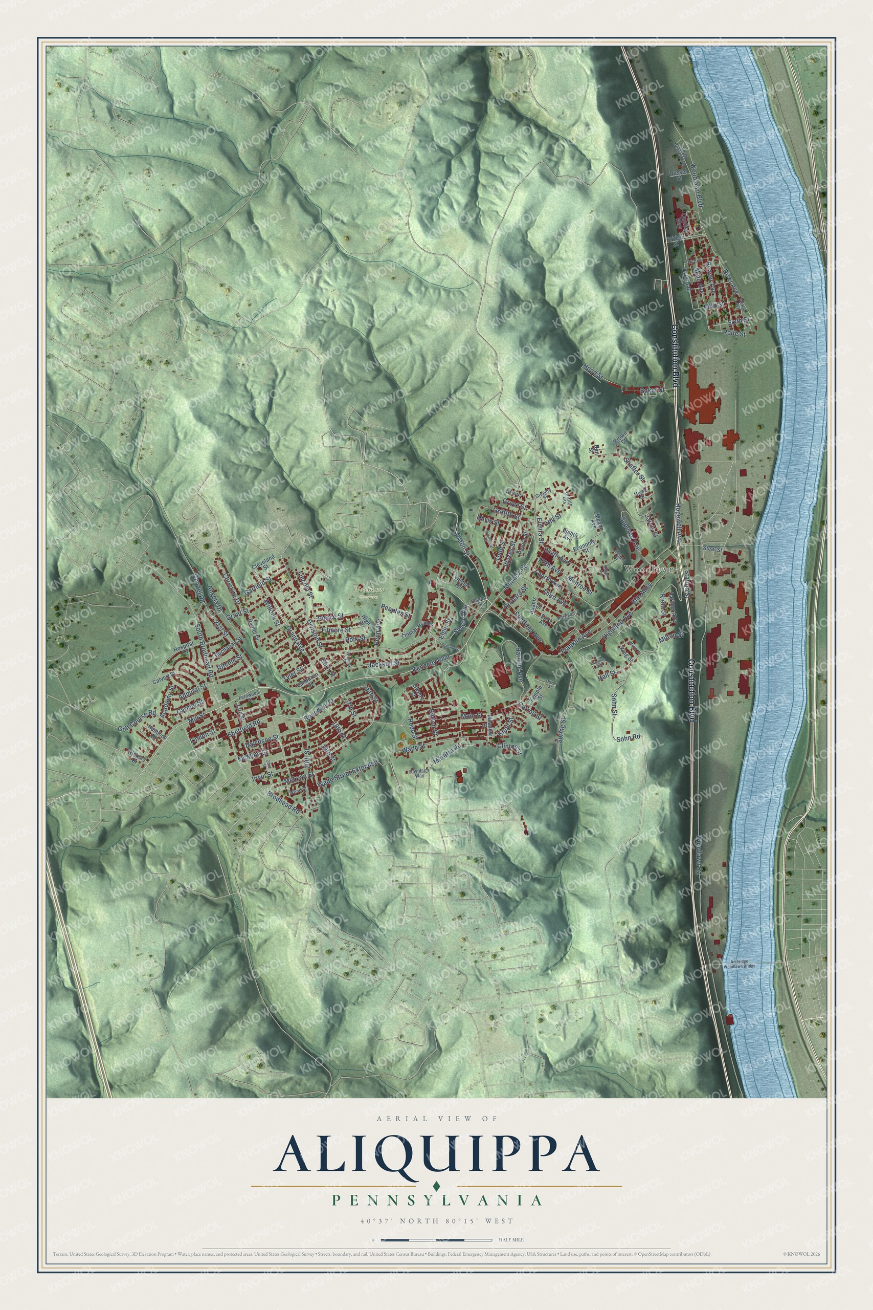
This beautifully detailed map of Aliquippa, Pennsylvania was created in 2026 using aerial imagery combined with modern topographical, census, street and landmark data. It’s a one-of-a-kind view of Aliquippa that combines accurate data with a vintage aesthetic. The map shows every building in its true location, many of the roads carry their names, and the shaded topographic relief shows the shape of the land.
Explore an aerial view of Aliquippa, Pennsylvania
On the map you’ll find Woodlawn and Linmar Homes, along with Constitution Boulevard, Kennedy Boulevard, Sheffield Road, Green Street, Grand Avenue, 16th Street, South Brodhead Road, Highland Avenue, River Avenue, Hall Street, and more. If you look closely you can even find your house accurately drawn in its correct location. Zoom in on the preview to look for yours.
Did you know this piece of Aliquippa, Pennsylvania history?
The city formed in 1894 when three towns merged: Aliquippa, Woodlawn and New Sheffield. The Pittsburgh and Lake Erie Railroad chose the name Aliquippa in 1878 for one of its stations. Jones and Laughlin Steel began building a huge mill along the Ohio River in 1905. Its jobs helped the city grow to 27,023 people by 1940.
Take a closer look at the Aliquippa map
Street and place names on the Aliquippa, Pennsylvania map
These names are printed on the map of Aliquippa, Pennsylvania.
Places: Woodlawn and Woodlawn Cemetery.
Streets and roads: Constitution Boulevard, Kennedy Boulevard, Sheffield Road, Grand Avenue, Green Street, Mill Street, Hall Street, Division Street, Sohn Road, Wykes Street, Erie Avenue, Sharon Avenue.
More street names, A to Z
16th Street, 17th Street, 18th Street, 19th Street, 20th Street, 21st Street, 22nd Street, 23rd Street, Academy Street, Adams Street, Admiral Street, Ambridge Woodlawn Bridge, Angela Drive, Baker Street, Beaver Avenue, Born Street, Boundary Street, Bridge Street, Brodhead Road, Brown Street, Buchanan Street, Burton Street, Calvert Street, Carmel Street, Carroll Street, Chapel Road, Christine Drive, Cleveland Street, Clinton Street, Dale Street, Daniel Drive, Davidson Street, Davidson Way, Davis Street, Economy Street, Eighth Avenue, Elgin Street, Elm Alley, Elmira Street, Fernwood Street, Fifth Avenue, Fifth Street, Filmore Street, First Avenue, Fourth Avenue, Franklin Avenue, Garfield Street, Golf Course Road, Grant Street, Gregory Street, Griffith Heights, Griffith Street, Grove Street, Harding Avenue, Harrison Street, Hemlock Drive, Hickory Drive, Highland Avenue, High Street, Hill Street, Hood Street, Hopewell Avenue, Hospital Drive, Irwin Street, Jackson Street, Jarvis Street, Kiehl Street, King Street, Knoll Street, Larimer Avenue, Laughlin Avenue, Lincoln Street, Linden Street, Linmar Homes, Linmar Terrace, Main Avenue, Main Street, Major Street, Maratta Road, McKee Avenue, McLean Street, McMinn Street, Meade Avenue, Meade Street, Meadow Street, Milton Street, Monaca Road, Monroe Street, Moore Street, Nan Street, North Beaver Avenue, Oliver Street, Orchard Street, Owens Street, Penn Avenue, Peoples Street, Pierce Street, Polk Street, Quality Way, Reed Street, Return Street, Ritchie Street, River Avenue, Rolfe Street, Russel Street, Shaffer Street, Sharon Street, Sheffield Avenue, Sixth Avenue, Sixth Street, Sohn Street, South Brodhead Road, Spaulding Street, Spring Street, Station Street, Steel Street, Superior Avenue, Sutton Avenue, Temple Street, Third Avenue, Third Street, Todd Street, Tyler Street, Upland Street, Vanburen Street, Wade Street, Wade Street Extended, Warnock Street, Willock Street, Woodlawn Boulevard, Woodlawn Road, Wood Street.
See the Aliquippa, Pennsylvania map on a wall
The Aliquippa map as an 18 x 24 inch print in a black frame.

This beautifully detailed map of Aliquippa makes an attractive addition to your office, library, or den, and it can even be used to teach children the geography and history of the area. It also makes a great gift for someone who left Aliquippa and still calls it home. When you’re done exploring, click here to get your copy of the Aliquippa map.