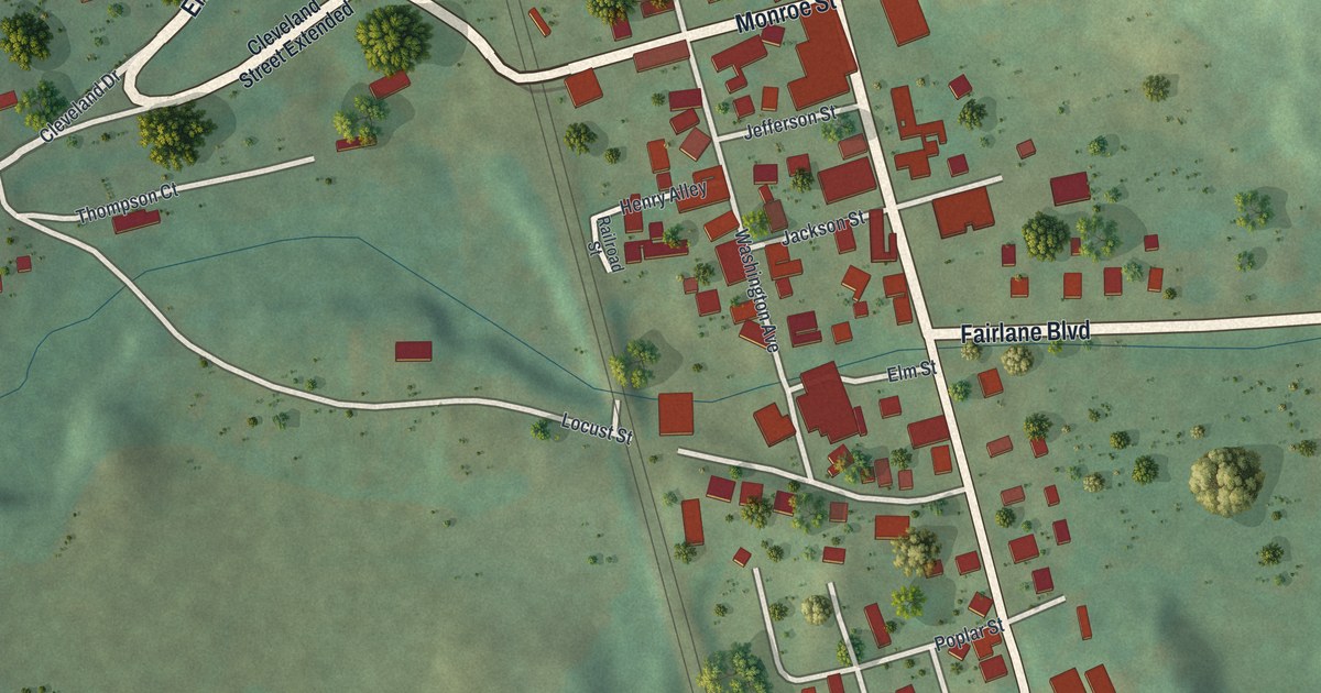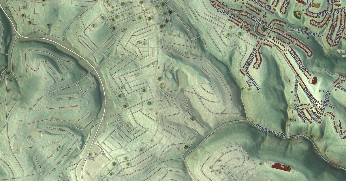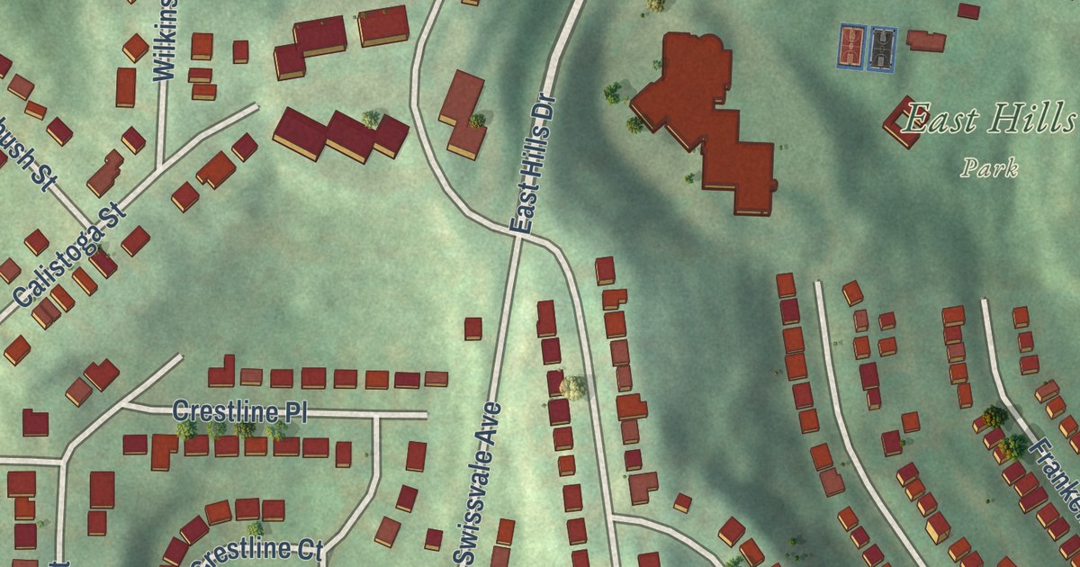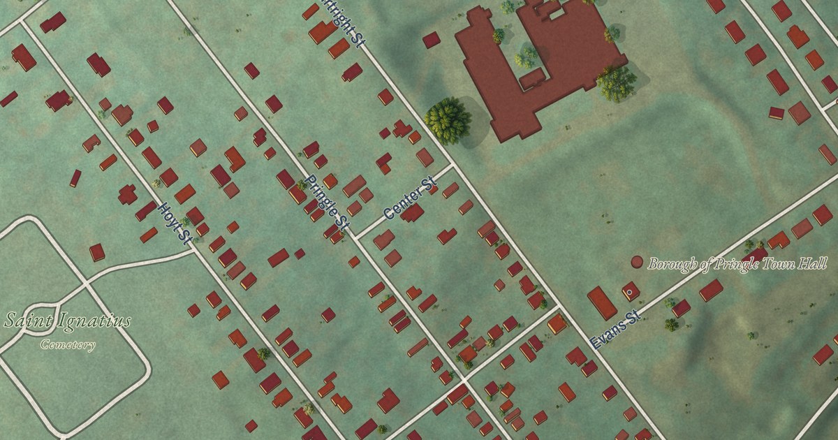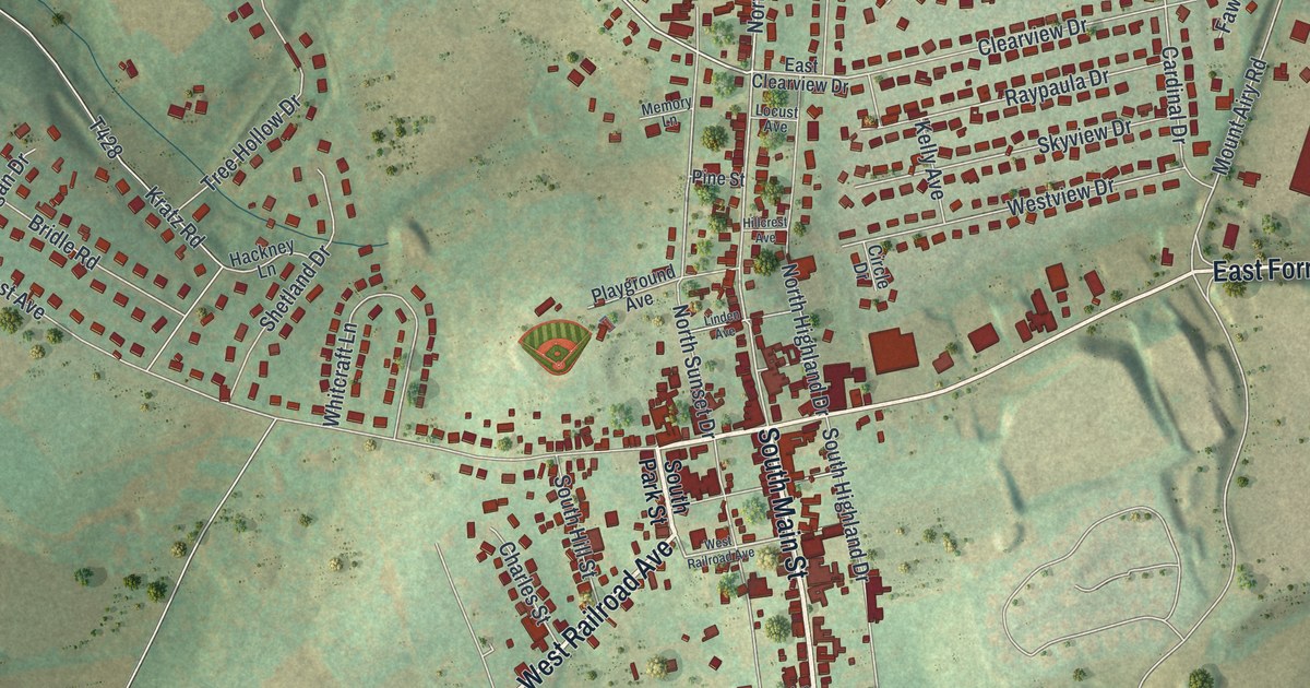
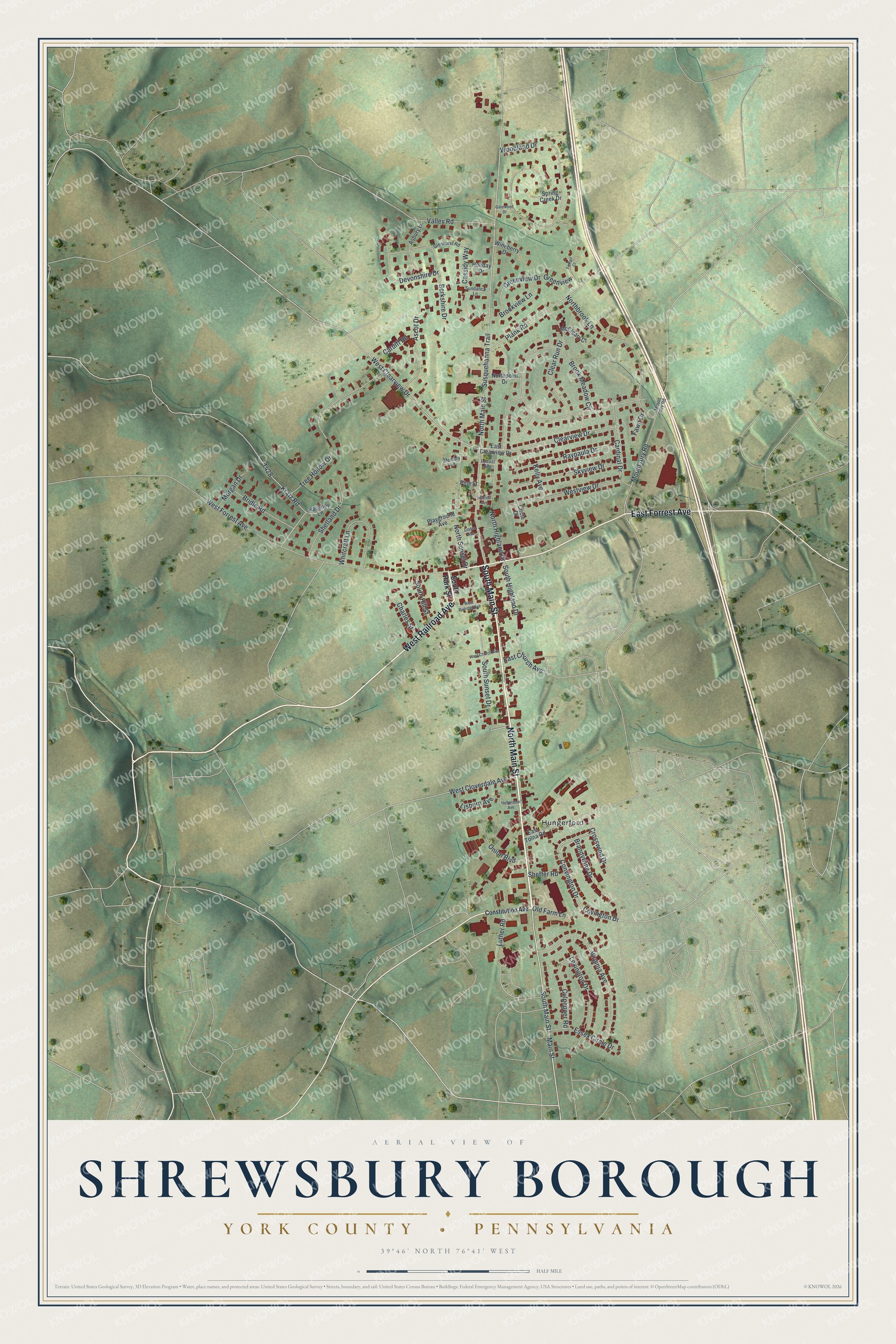
This beautifully detailed map of Shrewsbury Borough, York County, Pennsylvania was created in 2026 using aerial imagery combined with modern topographical, census, street and landmark data. It’s a one-of-a-kind view of Shrewsbury Borough that combines accurate data with a vintage aesthetic. The map shows every building in its true location, many of the roads carry their names, and the shaded topographic relief shows the shape of the land.
Explore an aerial view of Shrewsbury Borough, York County, Pennsylvania
On the map you’ll find Hungerford, along with South Main Street, North Main Street, West Railroad Avenue, East Forrest Avenue, Main Street, West Clearview Drive, West Cloverdale Avenue, Susquehanna Trail, Mount Airy Road, Brook Meadow Circle, Woodland Drive, and more. If you look closely you can even find your house accurately drawn in its correct location. Zoom in on the preview to look for yours.
Did you know this piece of Shrewsbury Borough, York County, Pennsylvania history?
From the 1886 History of York County, Pennsylvania: "In 1824 Jacob Gaines, a member of this company, was drowned in Hileman’s dam, and his remains were buried on a Sunday, but the people of the church where the services were held protested against taking arms into or near the church."
Take a closer look at the Shrewsbury Borough, York County map
Street and place names on the Shrewsbury Borough, York County, Pennsylvania map
These names are printed on the map of Shrewsbury Borough, York County, Pennsylvania.
Places: Hungerford.
Streets and roads: South Main Street, North Main Street, West Railroad Avenue, East Forrest Avenue, Main Street, West Clearview Drive, West Cloverdale Avenue, Susquehanna Trail, Mount Airy Road, Brook Meadow Circle, Woodland Drive, West Forrest Avenue.
More street names, A to Z
Asbury Lane, Ascot Drive, Berkshire Drive, Brandywine Drive, Bridle Road, Brookview Lane, Cardiff Road, Cardinal Drive, Cassidy Way, Charles Street, Circle Drive, Clear Run Drive, Clearview Drive, Constitution Avenue, Convington Drive, Covington Drive, Crosswind Drive, Culpepper Road, Devonshire Drive, East Church Avenue, East Clearview Drive, East Tolna Road, Essex Circle Drive, Fawn Drive, Foxtail Court, Gatewood Drive, Glenhurst Road, Greenview, Greenview Drive, Hackney Lane, Halbelston Avenue, Hillcrest Avenue, Holiday Drive, Kelly Avenue, Kratz Road, Lexington Drive, Linden Avenue, Lisburn Avenue, Locust Avenue, Luther Road, McCleary Court, Memory Lane, Morgan Drive, Northbrook Lane, North Highland Drive, Northpoint Drive, North Sunset Drive, Old Farm Lane, Onion Boulevard, Pine Street, Plank Road, Playground Avenue, Raypaula Drive, Sheffer Road, Shetland Drive, Skyview Drive, South Highland Drive, South Hill Street, South Park Street, South Sunset Drive, Spring Creek Drive, Sundance Lane, Tree Hollow Drive, Valley Road, Virginia Avenue, West Church Avenue, Westview Drive, Whitcraft Lane, Wineberry Drive.
See the Shrewsbury Borough, York County, Pennsylvania map on a wall
The Shrewsbury Borough, York County map as an 18 x 24 inch print in a black frame.

This beautifully detailed map of Borough of Shrewsbury, York County makes an attractive addition to your office, library, or den, and it can even be used to teach children the geography and history of the area. It also makes a great gift for anyone who grew up in Shrewsbury Borough or moved away. When you’re done exploring, click here to get your copy of the Borough of Shrewsbury, York County map.