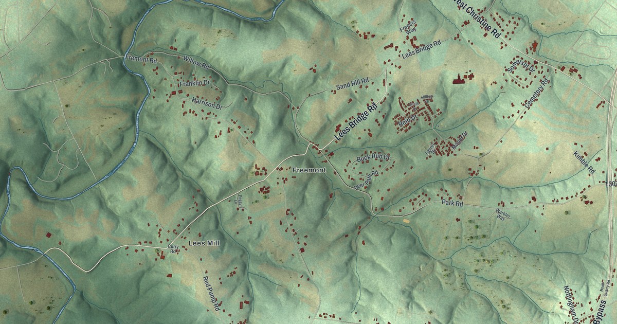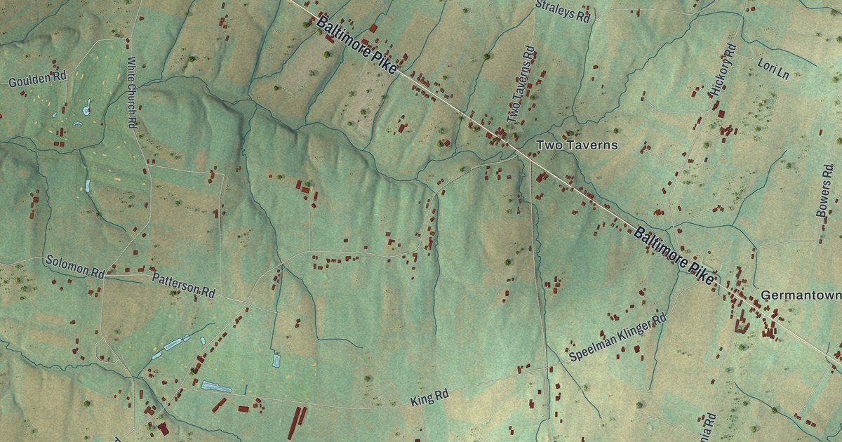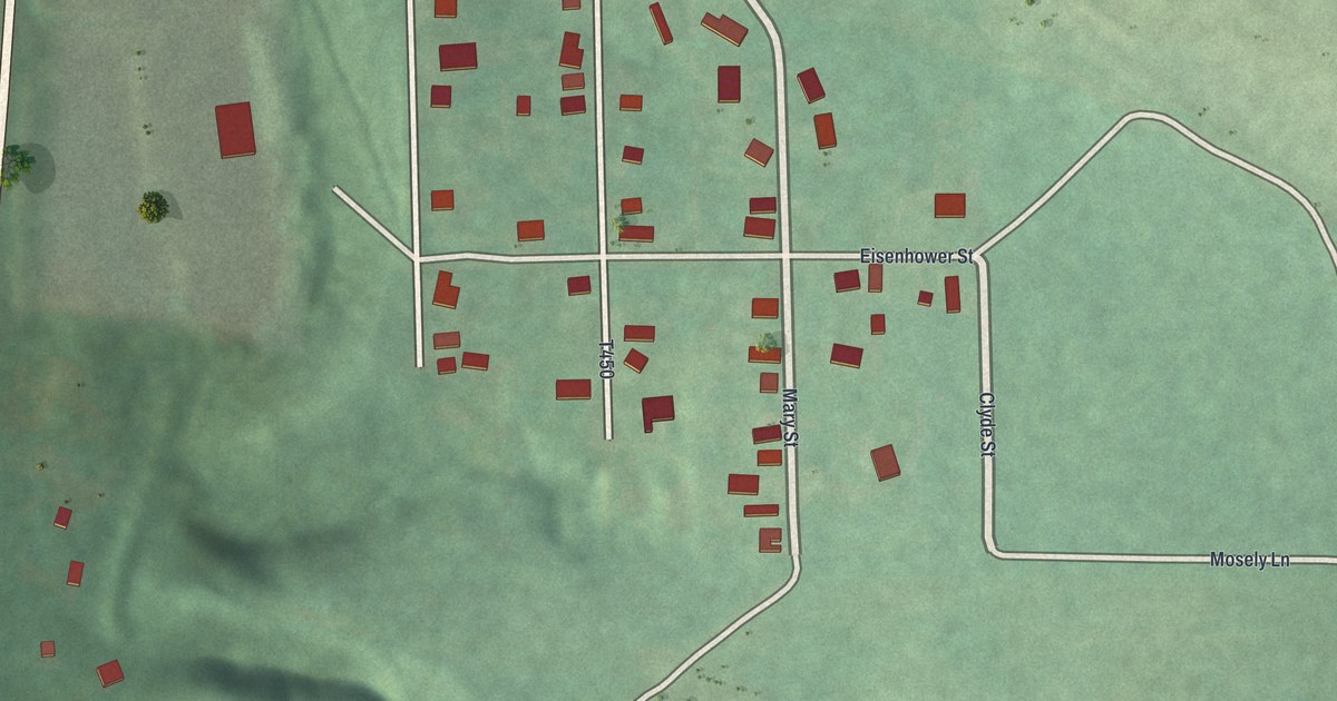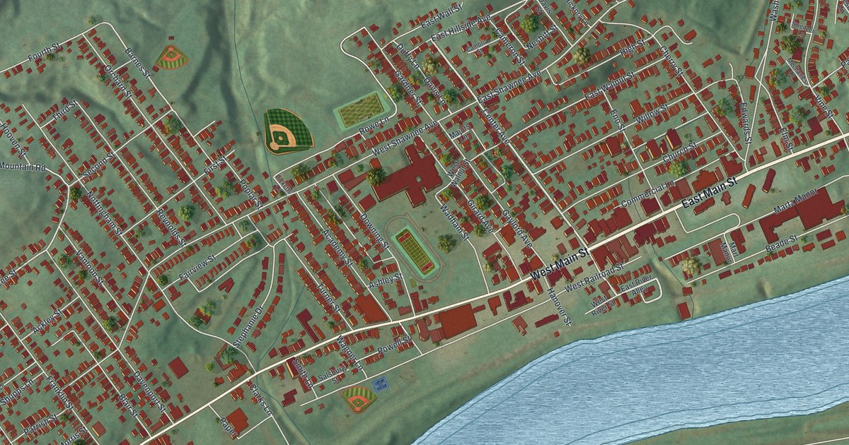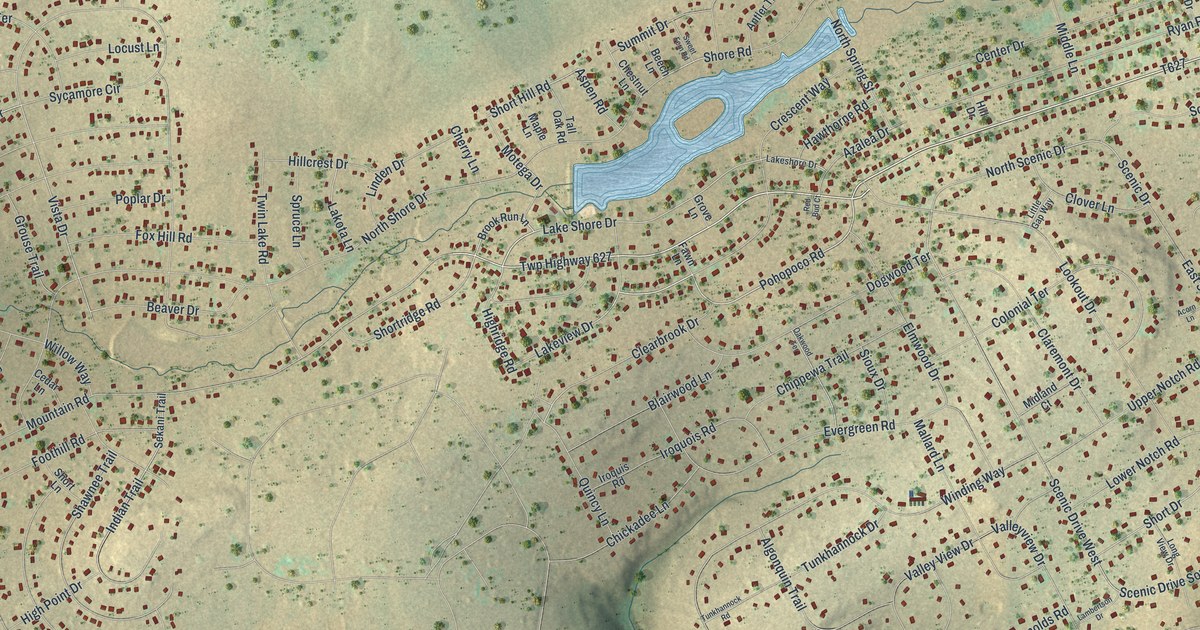
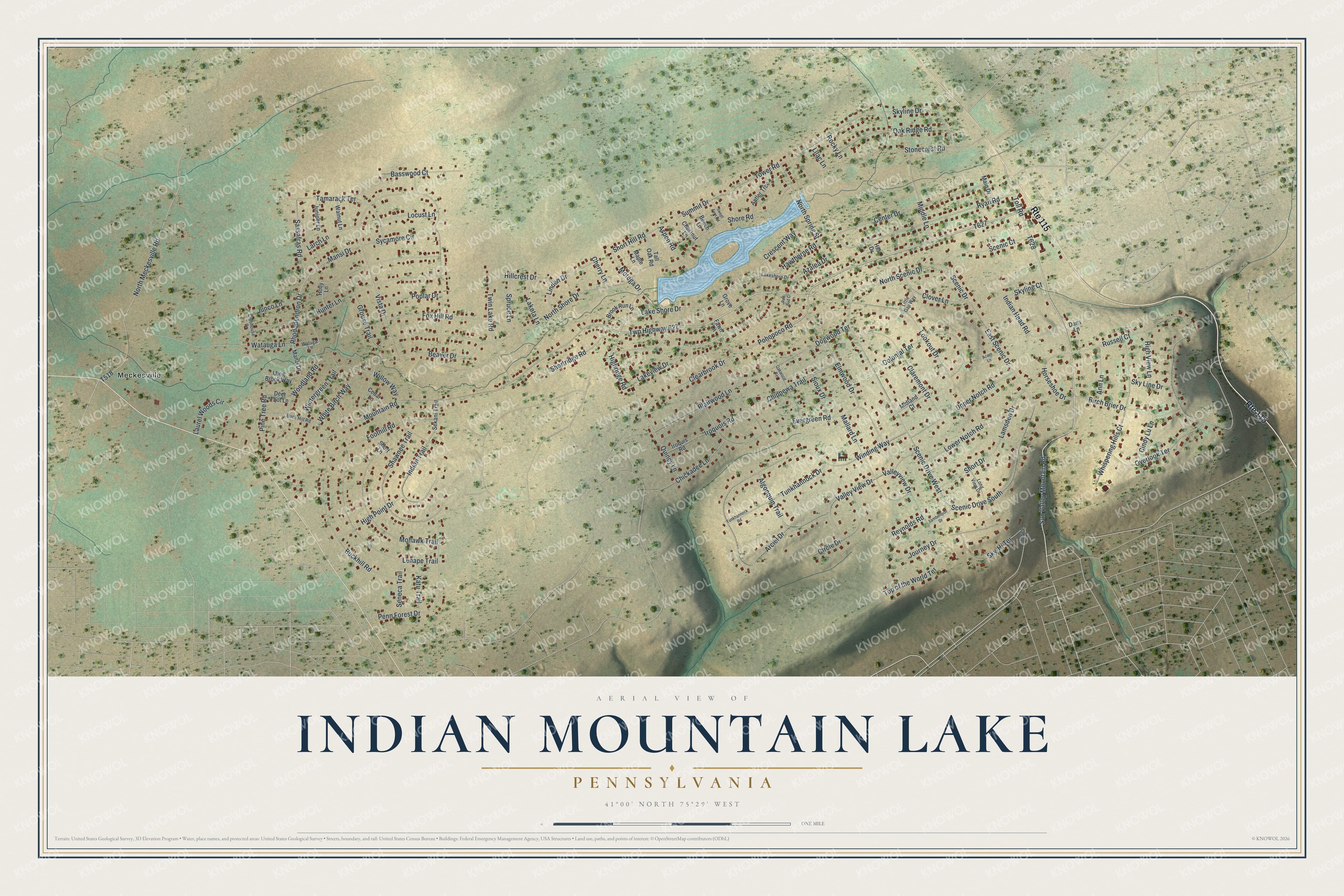
This beautifully detailed map of Indian Mountain Lake, Pennsylvania was created in 2026 using aerial imagery combined with modern topographical, census, street and landmark data. It's a modern aerial view of Indian Mountain Lake in Monroe County, Pennsylvania, that combines modern data with a vintage aesthetic. The roads feature printed names, and if you look closely you can find your exact house accurately shown in its correct location.
Explore an aerial view of Indian Mountain Lake, Pennsylvania
On this map you'll find Meckesville, Mountain Road, T627, Lakeview Drive, Pohopoco Road, Twp Highway 627, Shortridge Road, T628, Toll Road, Valley View Drive, Highridge Road, Lake Shore Drive, and more. Each red shape is a building, so zoom in on the preview and look for yours.
Every town has a first chapter, and Indian Mountain Lake is no exception. The lake that residents call the Big Lake was made by an earthen dam across Mud Run. Stroudsburg engineer Leo A. Achterman Jr. designed it in 1959, building started in the spring of 1960, and the dam was finished that August. Two years later the dam was raised about 2 feet, and the lake was kept for recreation. That's from the National Dam Inspection Program.
Indian Mountain Lake is a community in Monroe County. The Census Bureau counted 4,733 people here in 2020. Indian Mountain Lake sits about 3 miles northwest of Sun Valley, 4 miles east of Towamensing Trails and 5 miles west of Sierra View. The map prints the town name in its title panel, with the coordinates below it.
Take a closer look at the Indian Mountain Lake map
Names on this map
These names are printed on this map.
Places: Meckesville.
Streets and roads: Route 115, Mountain Road, Lakeview Drive, Pohopoco Road, Twp Highway 627, Shortridge Road, Toll Road, Scenic Drive West, Valley View Drive, Highridge Road, Lake Shore Drive, Vista Drive.
More street names, A to Z
Acorn Lane, Algonquin Trail, Ann Lane, Antler Trce, Arciel Drive, Aspen Road, Azalea Drive, Basswood Court, Beaver Drive, Beech Lane, Birch Brier Drive, Blairwood Lane, Brook Run Lane, Buckhill Road, Buck Hill Road, Cedar Lane, Center Drive, Cherry Lane, Chestnut Lane, Chickadee Lane, Chippewa Trail, Cindy Lu Lane, Circle Drive, Claremont Drive, Clearbrook Drive, Clover Lane, Clubhouse Drive, Colonial Terrace, Crescent Way, Dans Lane, Deer Foot Lane, Dogwood Terrace, East Scenic Drive, Elmwood Drive, Evergreen Road, Fawn Lane, Foothill Road, Fox Hill Road, Grouse Trail, Grove Lane, Hawthorne Road, High Point Drive, High View Lane, Hillcrest Drive, Hill Drive, Holly Lane, Horseshoe Drive, Hunter Lane, Indian Head Road, Indian Trail, Iroquis Road, Iroquois Road, Journey Drive, Junco Lane, Juniper Lane, Katu Trail, Lakeshore Drive, Lakota Lane, Lambertson Drive, Lamsden Drive, Larch Lane, Laurel Woods Circle, Lenape Trail, Lilac Lane, Linden Drive, Little Gap Way, Locust Lane, Long Brook Way, Long View Drive, Lookout Drive, Lower Notch Road, Main Drive, Mallard Lane, Mansi Drive, Manzi Drive, Maple Lane, Middle Lane, Midland Court, Mohawk Trail, Motega Drive, North Meckesville Road, North Scenic Drive, North Shore Drive, North Spring Street, Oak Ridge Road, Oakwood Terrace, Overlook Terrace, Penn Forest Drive, Pine Tree Road, Poplar Drive, Quincy Lane, Red Bud Court, Reynolds Road, Rhododendron Drive, Rocky Lane, Russell Court, Ryan Road, Sassafras Road, Scenic Court, Scenic Drive, Scenic Drive South, Sekani Trail, Seneca Trail, Shawnee Trail, Shore Road, Short Drive, Short Hill Road, Short Lane, Sioux Drive, Sky-Hi Terrace, Skyline Court, Skyline Drive, Sky Line Drive, Sky View Terrace, Spruce Lane, Stonecrest Road, Summit Drive, Sun Valley Mountain Road, Sweet Fern Road, Sycamore Circle, Tall Oak Road, Tamarack Terrace, Top of the World Terrace, Tower Road, Tunkhannock Drive, Tunkhannock Road, Twin Lake Road, Upper Notch Road, Valleyview Drive, Walnut Lane, Watauga Lane, Watuga Lane, Whispering Hills Court, White Birch Way, Willow Way, Winding Way, Wintergreen Trail, Woodland Road.
See it on a wall
The Indian Mountain Lake map as a framed print. Swipe for more.


Created by KNOWOL in 2026. The buildings are small red shapes, the roads carry their printed names, and shaded relief shows the shape of the land. The title panel reads "AERIAL VIEW OF INDIAN MOUNTAIN LAKE, PENNSYLVANIA" with 41°00' NORTH 75°29' WEST.
Hang it in the hallway, the office or the cabin, or give it to someone who left Indian Mountain Lake and still calls it home. Open the preview and look for a street you know. See sizes and frames for the Indian Mountain Lake map.