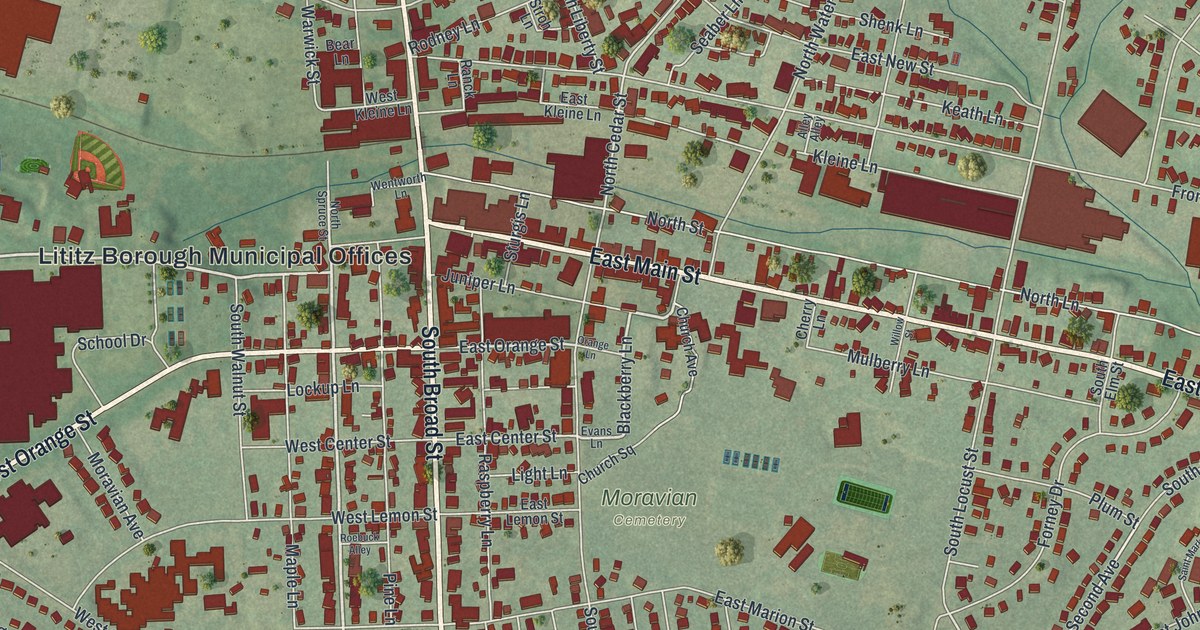
In Jim Thorpe, the hills get a vote in where the streets go. Look at this map and the reason becomes clear: winding water cuts through steep terrain, while buildings gather in the spaces between. KNOWOL's 2026 aerial view puts that relationship on the wall, with shaded slopes, blue waterways, and small red building shapes that reward a closer look. Explore the print options for Jim Thorpe.
Two ways to read Jim Thorpe
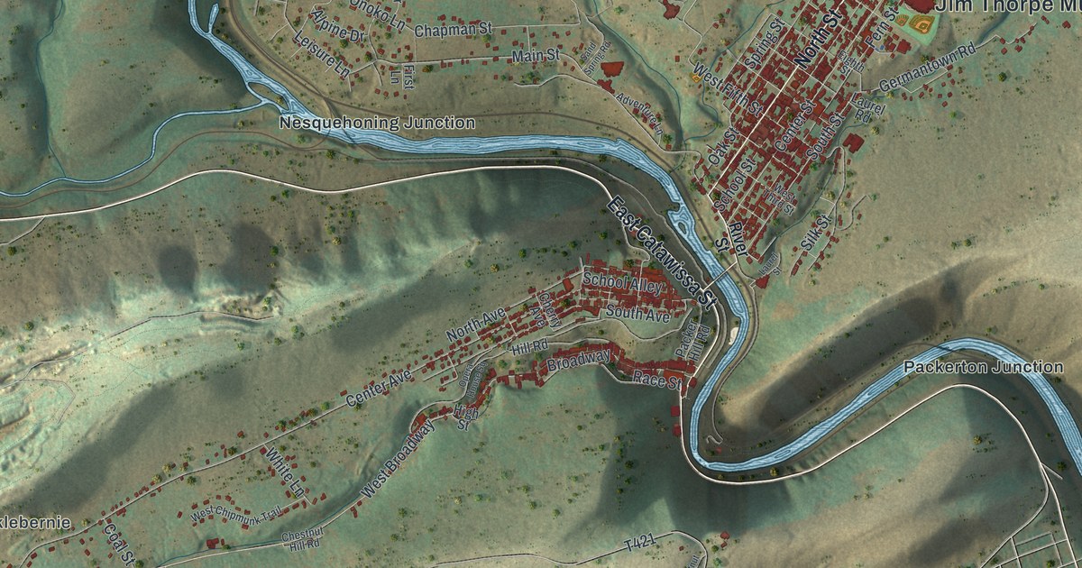
Start with Broadway and West Broadway. The buildings form a narrow ribbon through the valley, with Race Street and Packer Hill Road adding smaller routes to explore nearby. Now look across the river toward North Street and Center Street. The tighter grid there gives this part of the picture a different rhythm. Seeing both areas together is one of the pleasures of a map: familiar streets become parts of a larger pattern.
The printed names of Nesquehoning Junction and Packerton Junction offer two more places to get your bearings. Hacklebernie appears farther to the left, beyond the closely packed buildings near Broadway. Follow those names outward and the shaded terrain starts taking up much more of the sheet. This view leaves room for the landscape around the borough, too.
Jim Thorpe serves as Carbon County's seat, as the borough explains on its own website. On this map, though, the best introduction is visual. Trace a road for a while, then step back and see how much the surrounding slopes have shaped its course. Straight lines have some competition here.
Explore the Jim Thorpe map up close
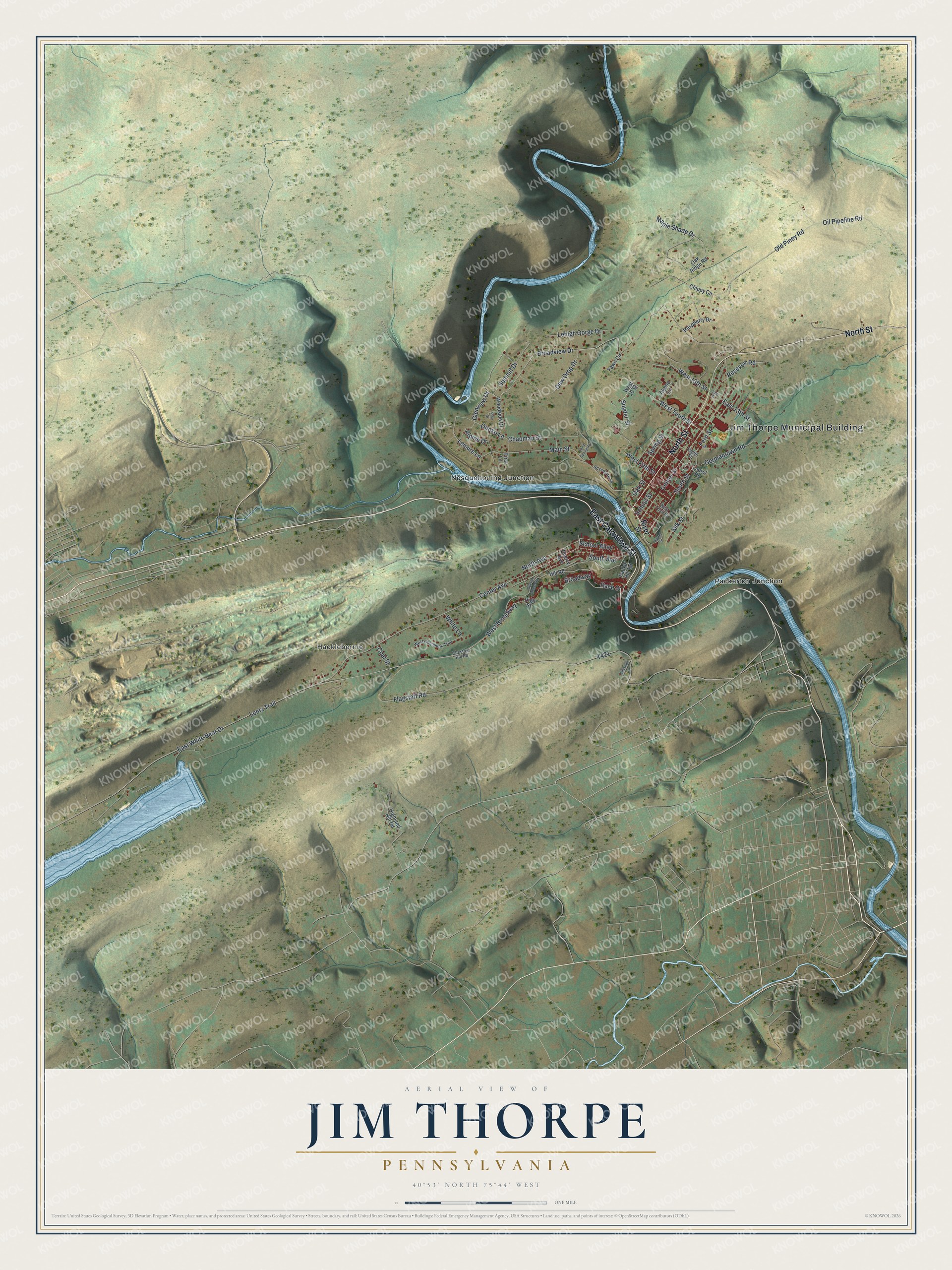
We made this map at KNOWOL using geographic records for the terrain, roads, water, and buildings, then composed the colors, lettering, and border with an old atlas in mind. It is a present-day view created in 2026. The larger preview is the place to check a particular street or corner before choosing a print.
For someone who knows Jim Thorpe, there is plenty here to point out: a familiar turn, a stretch of Broadway, or the hills behind a neighborhood. Choose a print for your own wall or for someone whose connection to the borough deserves a little more space than a photograph on a phone. Shop the Jim Thorpe, Pennsylvania map.