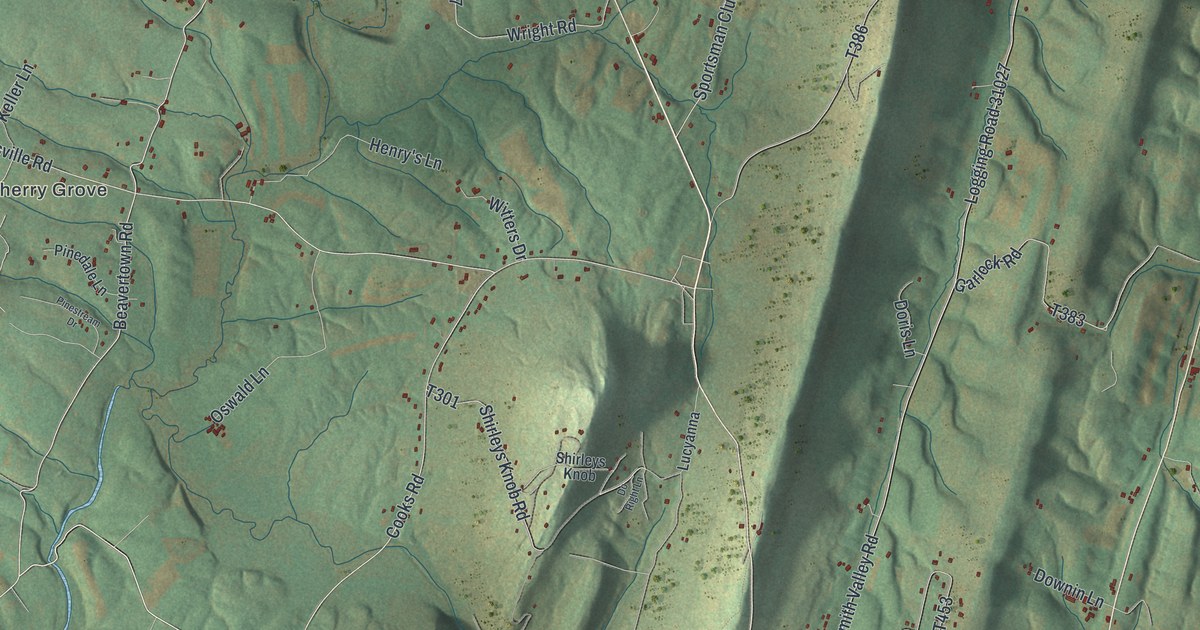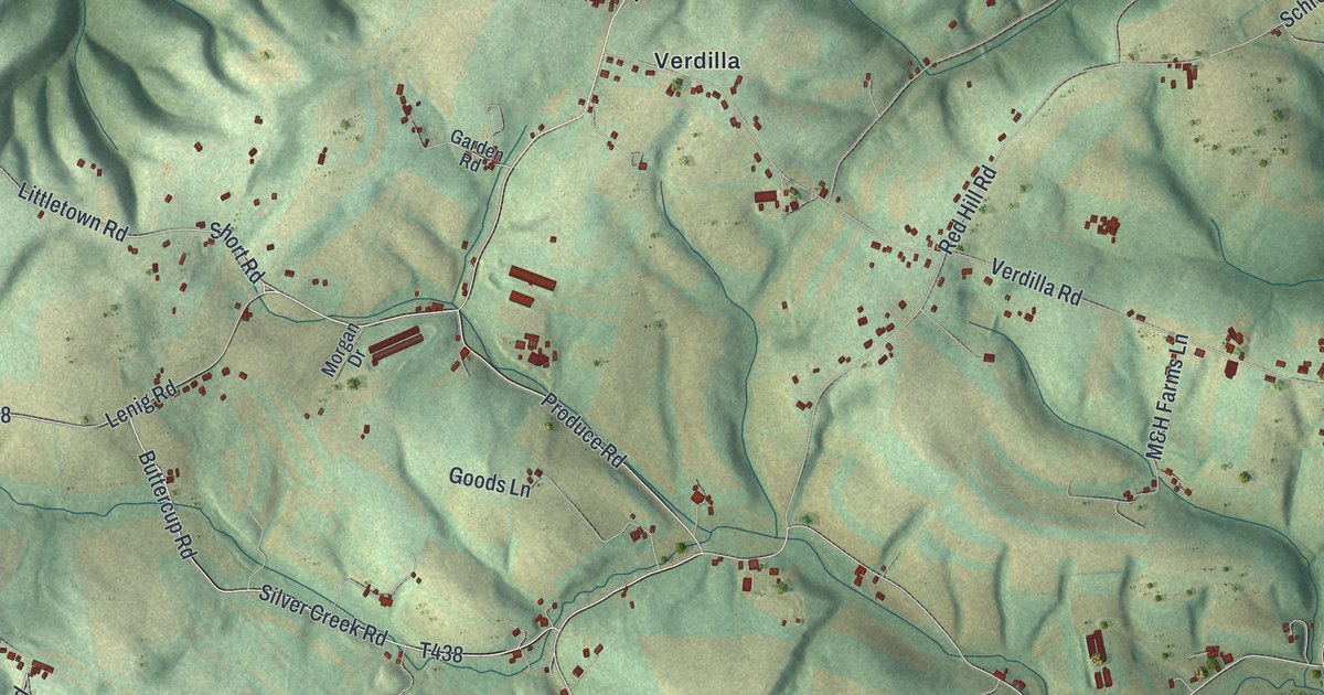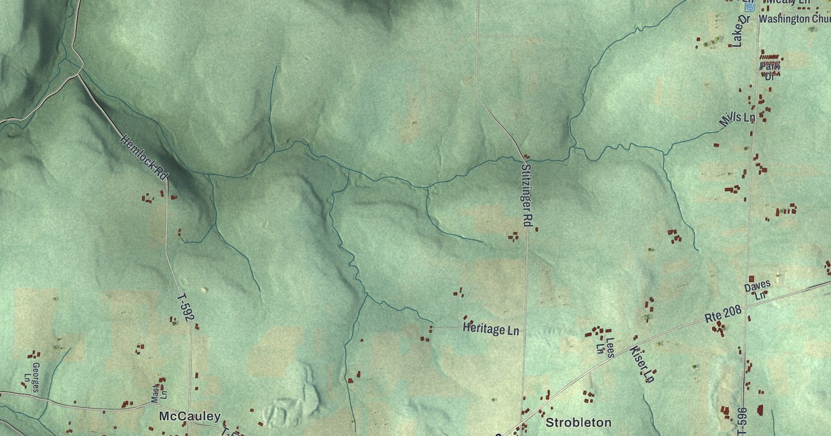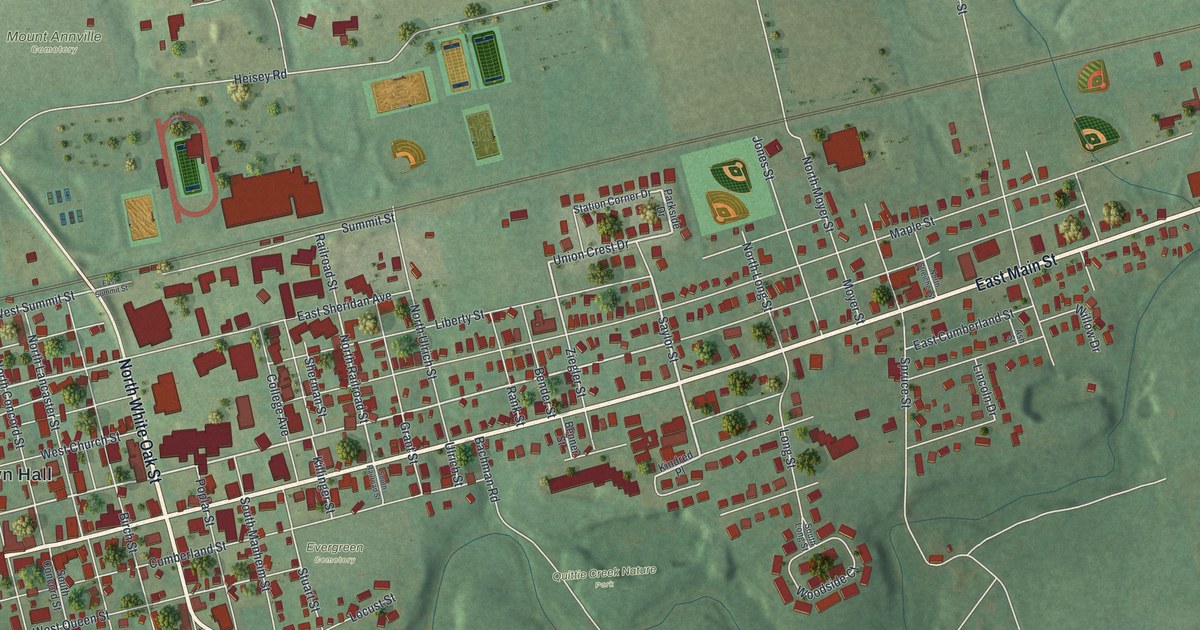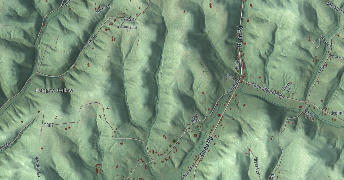
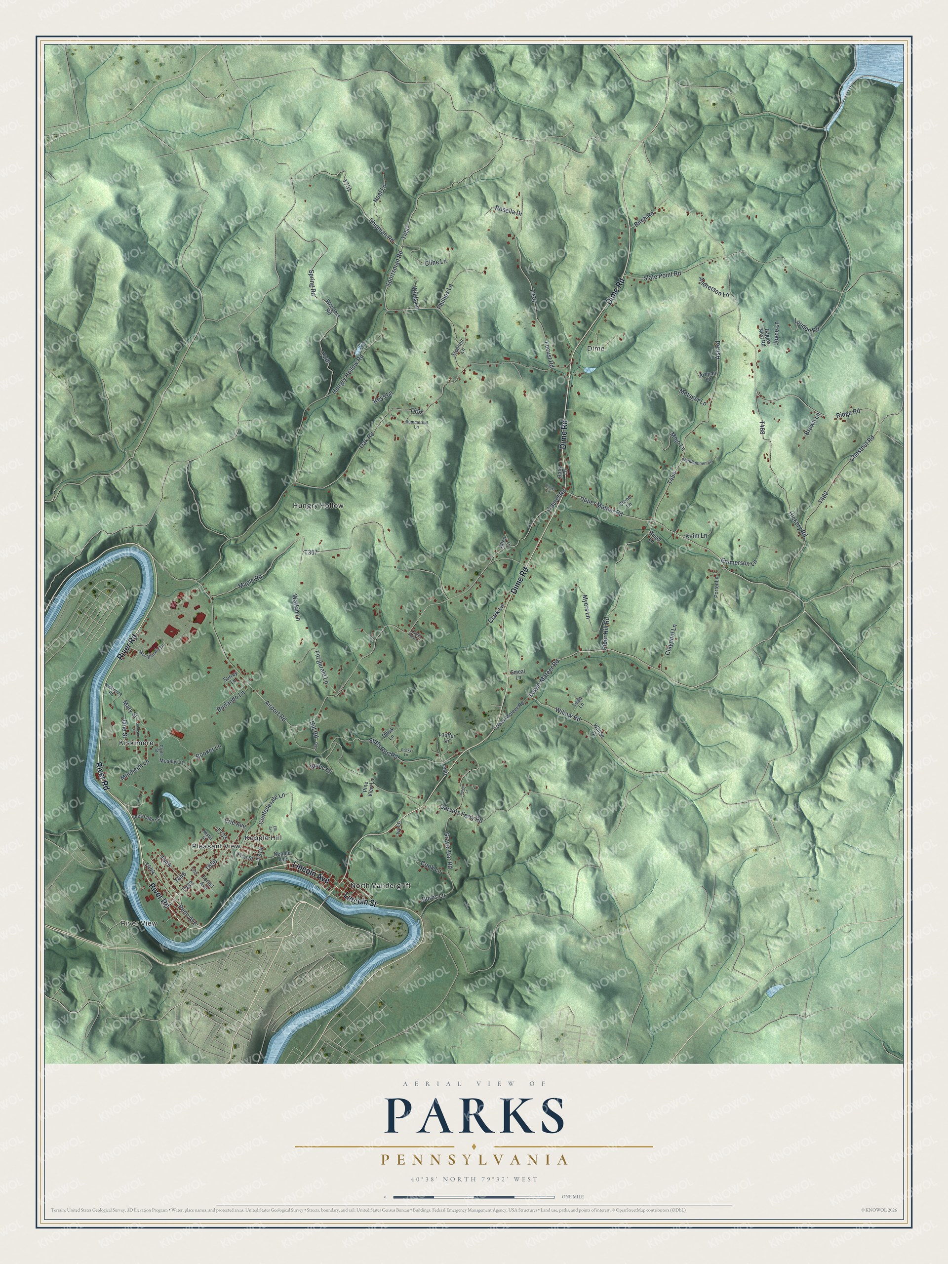
This beautifully detailed map of Parks, Pennsylvania was created in 2026 using aerial imagery combined with modern topographical, census, street and landmark data. It's a modern aerial view of Parks in Armstrong County, Pennsylvania, that combines modern data with a vintage aesthetic. The roads feature printed names, and if you look closely you can find your exact house accurately shown in its correct location.
Explore an aerial view of Parks, Pennsylvania
On this map you'll find River View, Dime, Hungry Hollow, Kepple Hill, Kiskimere, North Vandergrift, Pleasant View, River Road, Lincoln Avenue, Lincoln Street, Dime Road, T444, and more. Each red shape is a building, so zoom in on the preview and look for yours.
Every town has a first chapter, and Parks is no exception. The PA Roots puts it this way: "Townsend Adams was its teacher in early days. Parks township was famous as having the first graded school in this section of the country."
Parks is a place in Armstrong County. The Census Bureau counted 2,472 people here in 2020.
Take a closer look at the Parks map
Names on this map
These names are printed on this map.
Places: River View, Dime, Hungry Hollow, Kepple Hill, Kiskimere, North Vandergrift and Pleasant View.
Streets and roads: River Road, Lincoln Avenue, Lincoln Street, Dime Road, Lower Mateer Road, Penn Avenue, Ridge Road, Willow Road, Gravel Bar Road, Chestnut Road, Sportsman Road, Mary Street.
More street names, A to Z
Airport Road, Allen Lane, Ament Lane, Andrerson Lane, Angel Lane, Artman Lane, Ash Road, Batiz Lane, Birch Road, Booker Lane, Brown Lane, Burlando Lane, Burns Lane, Clark Lane, Claypool Lane, Cline Lane, Clyde Street, Confederate Lane, Cook Lane, Dilick Lane, Eagles Nest Road, Elk Avenue, Emmerson Lane, Erie Avenue, First Street, Fitzgerald Lane, Forest Avenue, Garvers Ferry Road, Hickory Road, Hill Road, Hungry Hollow Road, Ivy Lane, Jane Street, Johnson Street, Joyce Lane, Keim Lane, Kepple Avenue, Keys Lane, Kiskimere Road, Kuruc Lane, Lauffer Lane, Laurel Point Lane, Laurel Road, Leah Lane, Lees Lake Lane, Locust Road, Louden Road, Lower Moteer Road, Maple Road, Metsger Lane, Mojo Lane, Monheim Lane, Montgomery Lane, Mosely Lane, Myers Lane, Neal Lane, Nesbit Street, Oak Road, Phillips Lane, Pine View Lane, Piper Hill Road, Porter Lane, Rishel Lane, Rocky Lane, Rosella Drive, Shellhammer Lane, Shipman Road, Slate Point Road, Smeal Lane, Spring Road, Stitts Run Road, Stone Lane, Stuchell Lane, Summerhill Lane, Surrey Lane, Upper Mateer Road, Watkin Lane, Wilds Lane, Willow Drive, Wonders Road, Zetler Lane.
See it on a wall
The Parks map as a framed print. Swipe for more.


Created by KNOWOL in 2026. The buildings are small red shapes, the roads carry their printed names, and shaded relief shows the shape of the land. The title panel reads "AERIAL VIEW OF PARKS, PENNSYLVANIA" with 40°38' NORTH 79°32' WEST.
Hang it in the hallway, the office or the cabin, or give it to someone who left Parks and still calls it home. Open the preview and look for a street you know. See sizes and frames for the Parks map.