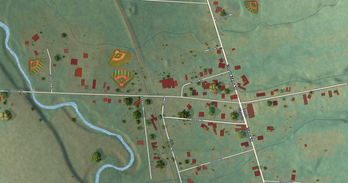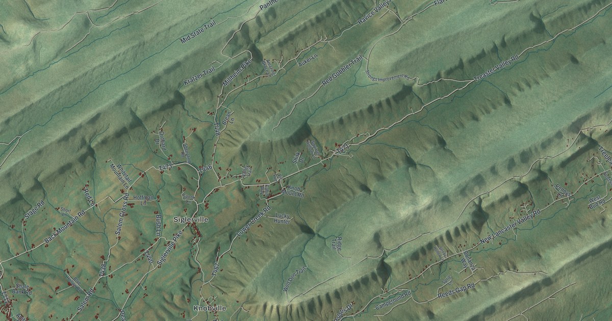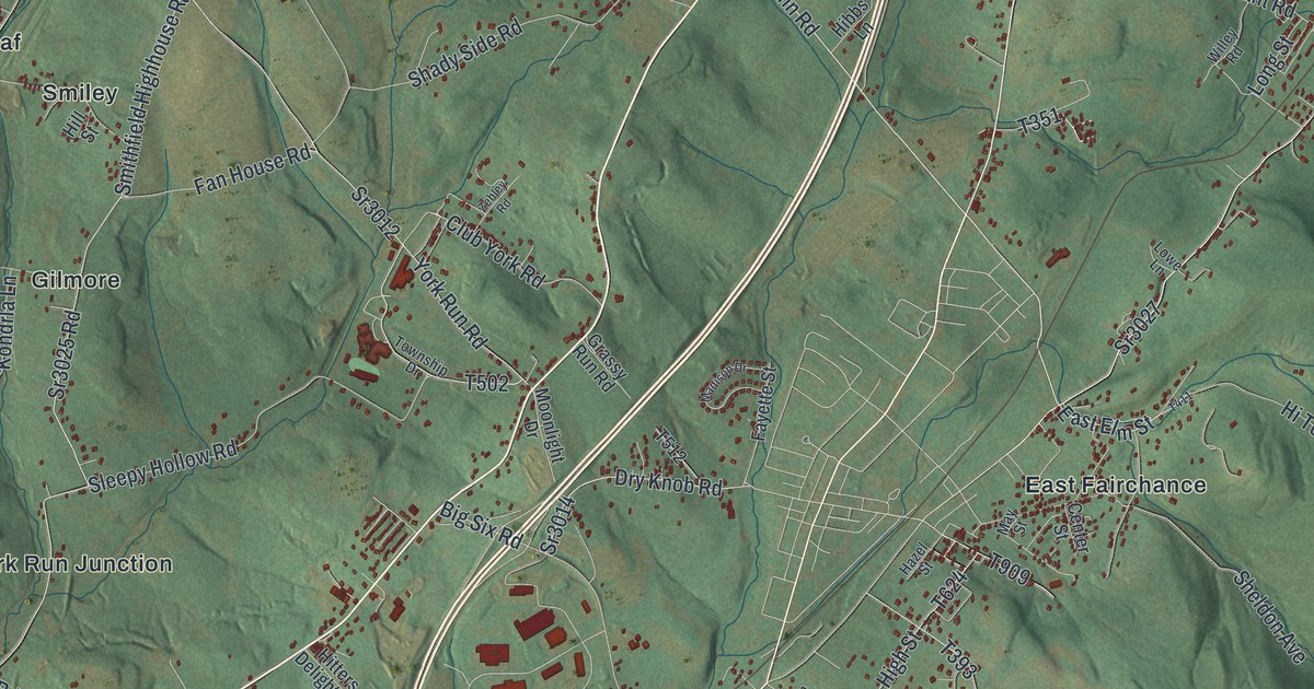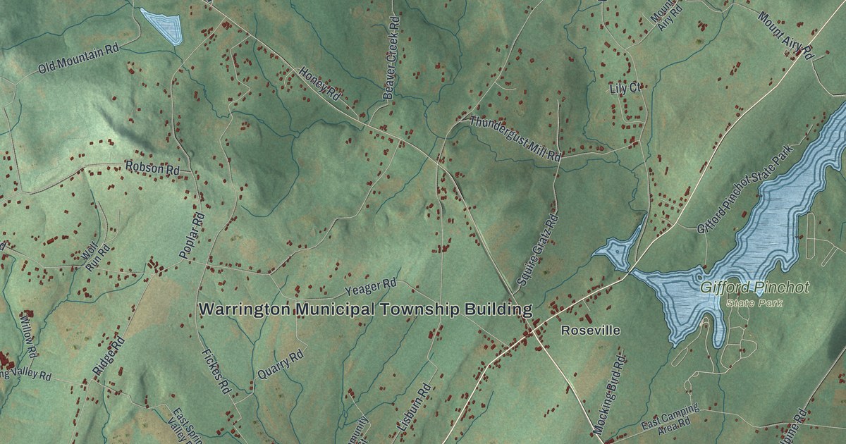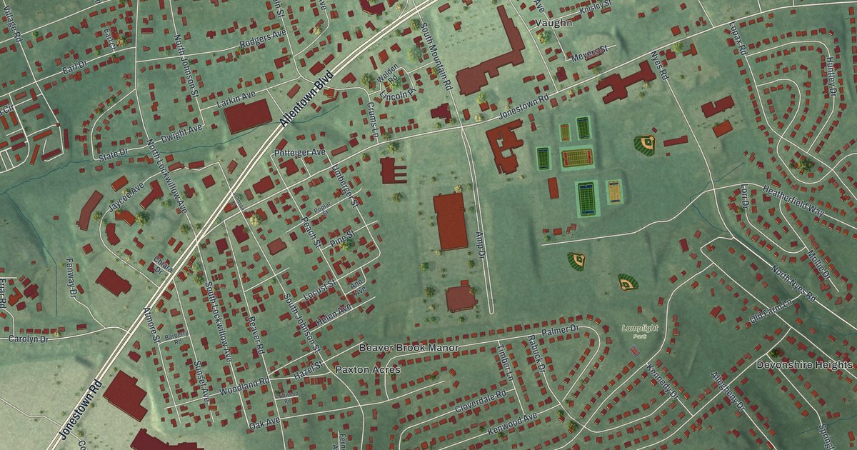
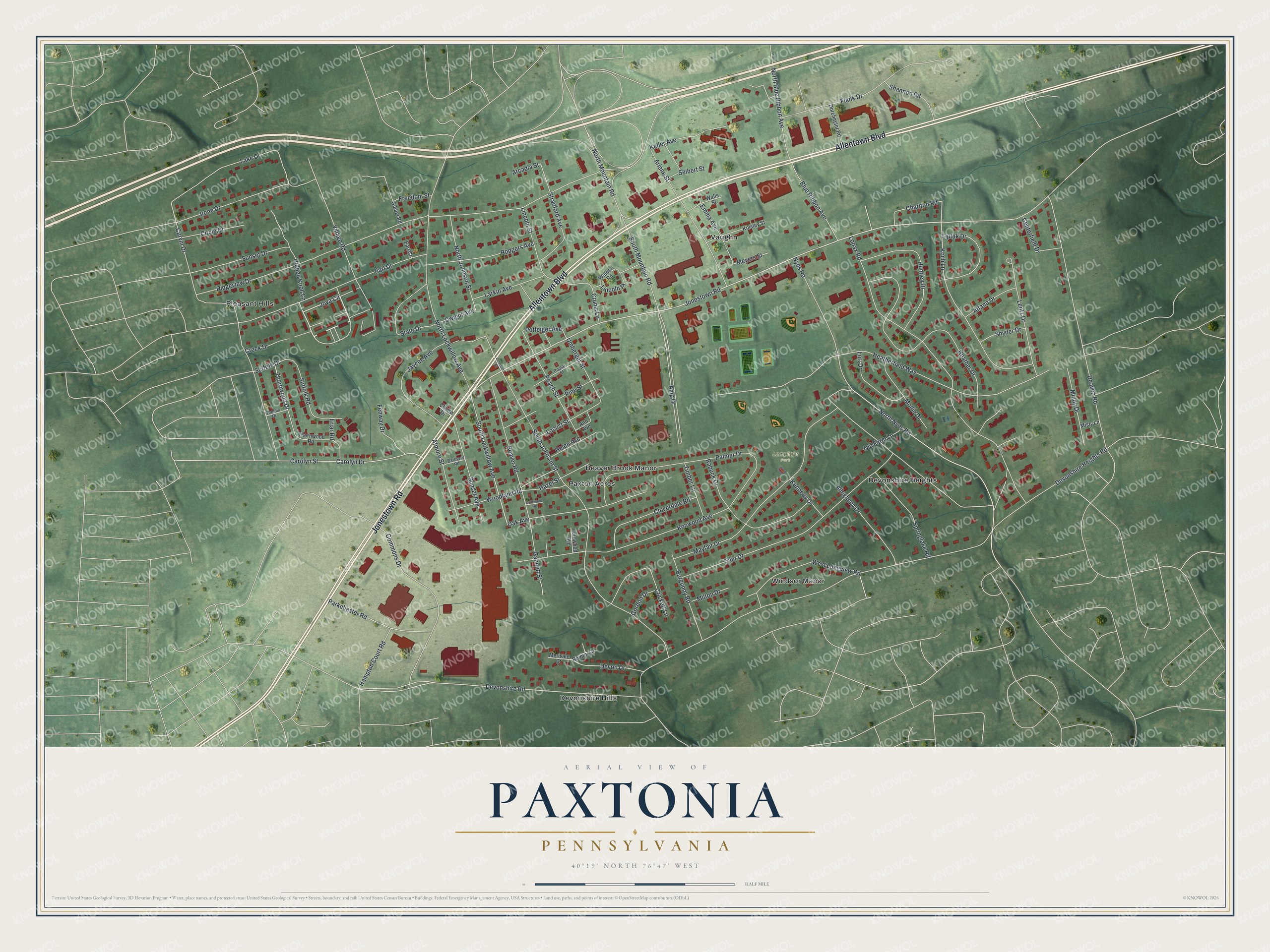
This beautifully detailed map of Paxtonia, Pennsylvania was created in 2026 using aerial imagery combined with modern topographical, census, street and landmark data. It's a modern aerial view of Paxtonia in Dauphin County, Pennsylvania, that combines modern data with a vintage aesthetic. The roads feature printed names, and if you look closely you can find your exact house accurately shown in its correct location.
Explore an aerial view of Paxtonia, Pennsylvania
On this map you'll find Lamplight Park, Devonshire Hills, Pleasant Hills, Vaughn, Paxton Acres, Windsor Manor, Devonshire Heights, Beaver Brook Manor, Jonestown Road, Allentown Boulevard, Joya Circle, South Lockwillow Avenue, and more. Each red shape is a building, so zoom in on the preview and look for yours.
Paxtonia is a community in Dauphin County. The Census Bureau counted 5,450 people here in 2020. Paxtonia sits about 2 miles northeast of Colonial Park, 2 miles south of Linglestown and 3 miles northeast of Progress. The map prints the town name in its title panel, with the coordinates below it.
Take a closer look at the Paxtonia map
Names on this map
These names are printed on this map.
Places: Lamplight Park, Devonshire Hills, Pleasant Hills, Vaughn, Paxton Acres, Windsor Manor, Devonshire Heights and Beaver Brook Manor.
Streets and roads: Jonestown Road, Allentown Boulevard, Joya Circle, South Lockwillow Avenue, North Nyes Road, Potteiger Avenue, Devonshire Road, Thornwood Drive, Dwight Avenue, Devonshire Heights Road, Ridgeview Drive, Beaver Road.
More street names, A to Z
Alfano Drive, Allegheny Drive, Amp Drive, Ann Avenue, Arcadia Street, Arlene Street, Atmore Street, Barberry Road, Blue Ribbon Avenue, Burgundy Road, Carolyn Drive, Carolyn Street, Centerfield Drive, Charlton Road, Chiara Drive, Circle Drive, Cloverdale Road, Commons Drive, Creek Drive, Crickett Lane, Crums Lane, Curvin Drive, Deaven Road, Devon Drive, Dorchester Road, Driftwood Road, Earl Court, Earl Drive, Emma Avenue, Fenway Drive, Fernwood Avenue, Flank Drive, Freedom Street, Friar Road, Gannett Street, Gibbel Road, Gordon Drive, Hampton Court Road, Hazel Street, Heather Drive, Heatherfield Way, Helen Avenue, Hidden Knoll Lane, Huntley Drive, Irene Drive, Jaycee Avenue, Johnson Street, Keller Avenue, Kennedy Drive, Kenwood Avenue, Knisley Street, Koch Lane, Lake Drive, Larkin Avenue, Lentz Drive, Lincoln Place, Lincoln Street, Liptak Drive, Locust Street, Lopax Road, Lori Drive, Mayfair Drive, Merivale Court, Meyers Street, Milton Drive, Mindy Drive, Misty Lane, Mollie Drive, North Blue Ribbon Avenue, North Johnson Street, North Lockwillow Avenue, North Mountain Road, Nyes Road, Oak Avenue, Old Farm Lane, Palmer Drive, Parkchester Road, Peach Street, Pine Street, Poplar Street, Rabuck Drive, Radnor Drive, Rodgers Avenue, Seibert Street, Shannon Road, Snyder Drive, South Johnson Street, South Mountain Road, Springlake Road, State Drive, Stradford Avenue, Suffolk Drive, Suffolk Road, Sunset Avenue, Sunset Drive, Thelma Drive, Thornwood Road, Timber Lane, Tyler Drive, Umberger Street, Village Road, Walden Road, Walls Street, West Longview Road, Woodland Road.
See it on a wall
The Paxtonia map as a framed print. Swipe for more.


Created by KNOWOL in 2026. The buildings are small red shapes, the roads carry their printed names, and shaded relief shows the shape of the land. The title panel reads "AERIAL VIEW OF PAXTONIA, PENNSYLVANIA" with 40°19' NORTH 76°47' WEST.
It suits a den, a classroom or a front hall, and it makes a gift for anyone with Paxtonia roots. Open the preview and find the block you know. See sizes and frames for the Paxtonia map.