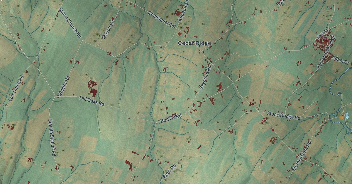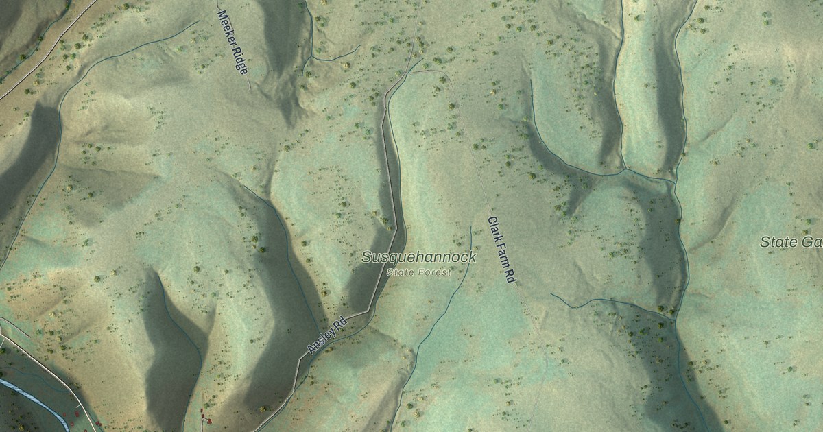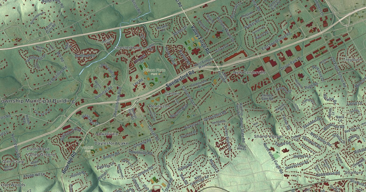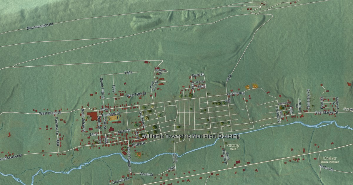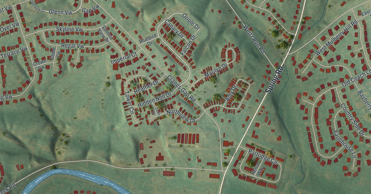
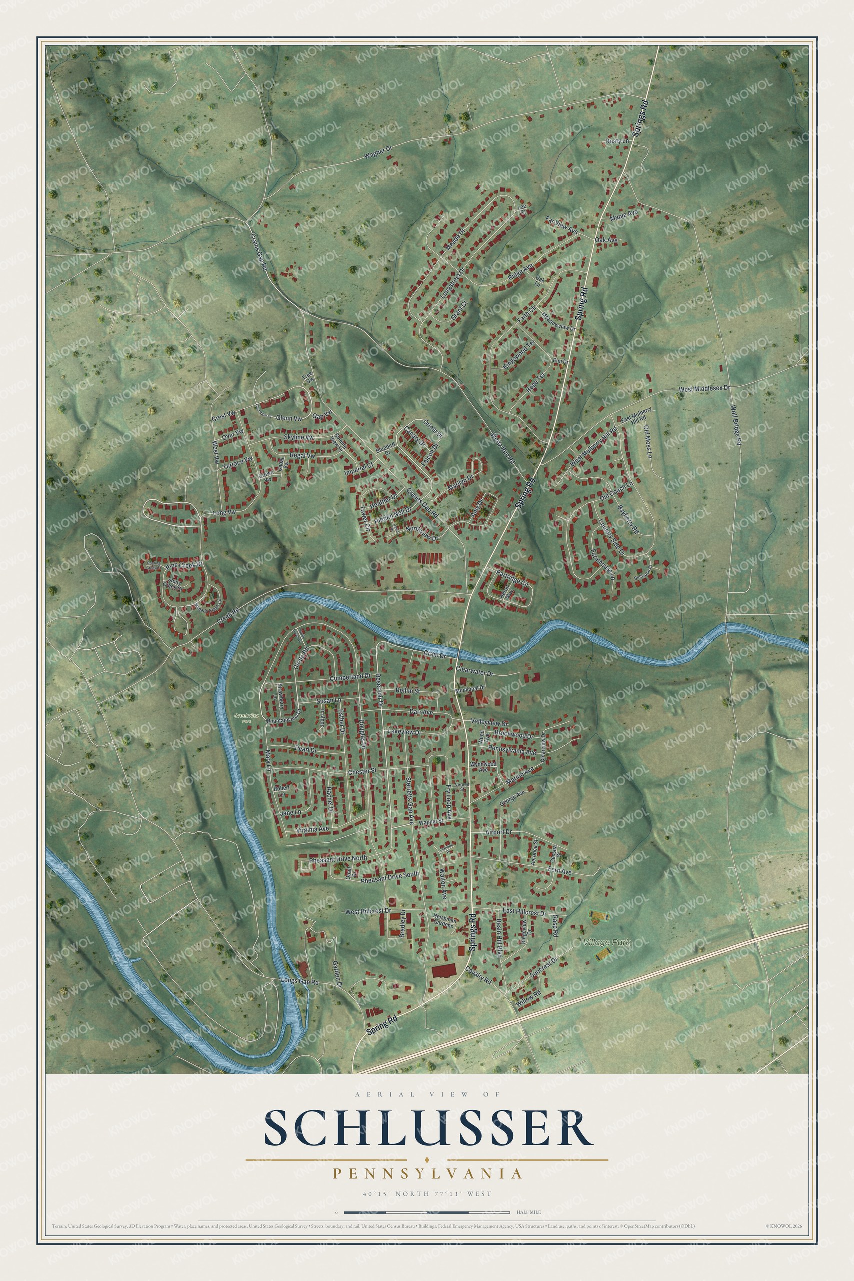
This beautifully detailed map of Schlusser, Pennsylvania was created in 2026 using aerial imagery combined with modern topographical, census, street and landmark data. It's a modern aerial view of Schlusser in Cumberland County, Pennsylvania, that combines modern data with a vintage aesthetic. The roads feature printed names, and if you look closely you can find your exact house accurately shown in its correct location.
Explore an aerial view of Schlusser, Pennsylvania
On this map you'll find Village Park, Creekview Park, Springs Road, Spring Road, Pine Creek Drive, Reservoir Drive, Glenn Vw, Oriole Drive, Crains Gap Road, Wolf Bridge Road, Cranes Gap Road, Douglas Drive, and more. Each red shape is a building, so zoom in on the preview and look for yours.
Schlusser is a community in Cumberland County. The Census Bureau counted 6,806 people here in 2020. Schlusser sits about 3 miles north of Carlisle Barracks, 3 miles north of Carlisle and 6 miles northeast of Plainfield. The map prints the town name in its title panel, with the coordinates below it.
Take a closer look at the Schlusser map
Names on this map
These names are printed on this map.
Places: Village Park and Creekview Park.
Streets and roads: Springs Road, Spring Road, Pine Creek Drive, Reservoir Drive, Glenn Vw, Oriole Drive, Crains Gap Road, Wolf Bridge Road, Cranes Gap Road, Douglas Drive, Wagner Drive, Creek Road.
More street names, A to Z
Aeronca Street, Airport Drive, Amy Drive, Basin Hill Boulevard, Bayberry Road, Bellwood Court, Bluebird Drive, Bradley Drive, Brookwood Drive, Canary Drive, Cavalry Road, Cedar Vw, Cessna Street, Chester Street, Circle Road, Claridon Place, Clearview Drive, Clearwater Drive, Country Side Drive, Crain Drive, Crest Vw, Crown Vw, Cumberland Drive, Darr Avenue, Dawn Drive, Dusty Lane, East Hillcrest Drive, East Mulberry Hill Road, Elm Drive, Esther Drive, Faith Circle, Falcon Drive, Farmhouse Lane, Far View Avenue, Fern Avenue, Fry Loop Avenue, Gap Vw, Garden Drive, George Avenue, Glen View Court, Grant Court, Heather Drive, Heishman Gardens, Heron Way, Hidden Noll Drive, Hope Terrace, Imperial Court, Jane Lane, Jody Lane, Kingswood Terrace, Lakeview Drive, Lee Court, Longs Gap Road, Longstreet Drive, Long Vw, Manada Creek Circle, Maple Avenue, Marilyn Drive, Marion Avenue, Mary Lane, Meade Drive, Meadowview Drive, Mountainview Drive, Municipal Drive, North Creek Drive, Northview Drive, Oak Avenue, Oak Lane, Old Coach Lane, Old Moss Lane, Over Vw, Partridge Circle, Pearl Drive, Pennsylvania Avenue, Pheasant Drive North, Pheasant Drive South, Quail Drive, Rachel Drive, Rasp Road, Regal Vw, Rellim Street, Ridge Avenue, Ridgeview Drive, Roaring Creek Court, Robert Lane, Skyline Vw, Sterretts Gap Avenue, Stony Creek Court, Strawberry Lane, Summit View Drive, Suncrest Drive, Susan Lane, Terrace Vw, Tower Circle, Tree Vw, Valleyview Drive, Vernon Street, Virginia Avenue, Wagner Street, Walton Avenue, Wertz Run Road, West Hillcrest Drive, West Middlesex Drive, West Mulberry Hill Road, West Vw, Willow Road, Wood Avenue, Wynnwood Avenue.
See it on a wall
The Schlusser map as a framed print. Swipe for more.


Created by KNOWOL in 2026. The buildings are small red shapes, the roads carry their printed names, and shaded relief shows the shape of the land. The title panel reads "AERIAL VIEW OF SCHLUSSER, PENNSYLVANIA" with 40°15' NORTH 77°11' WEST.
It suits a den, a classroom or a front hall, and it makes a gift for anyone with Schlusser roots. Open the preview and find the block you know. See sizes and frames for the Schlusser map.