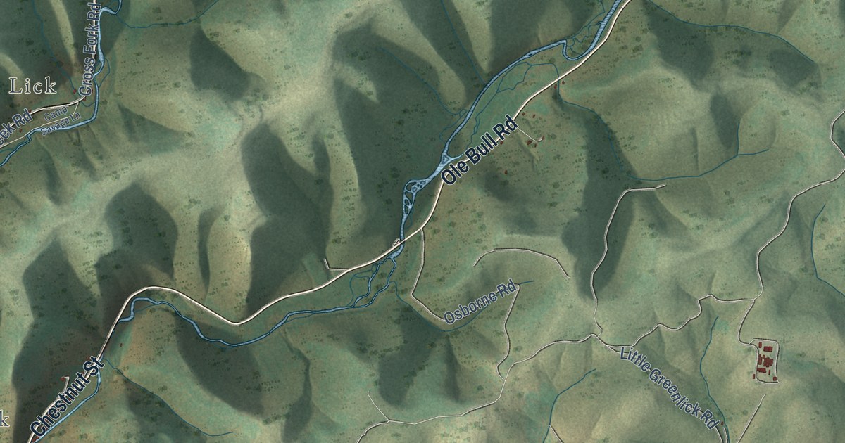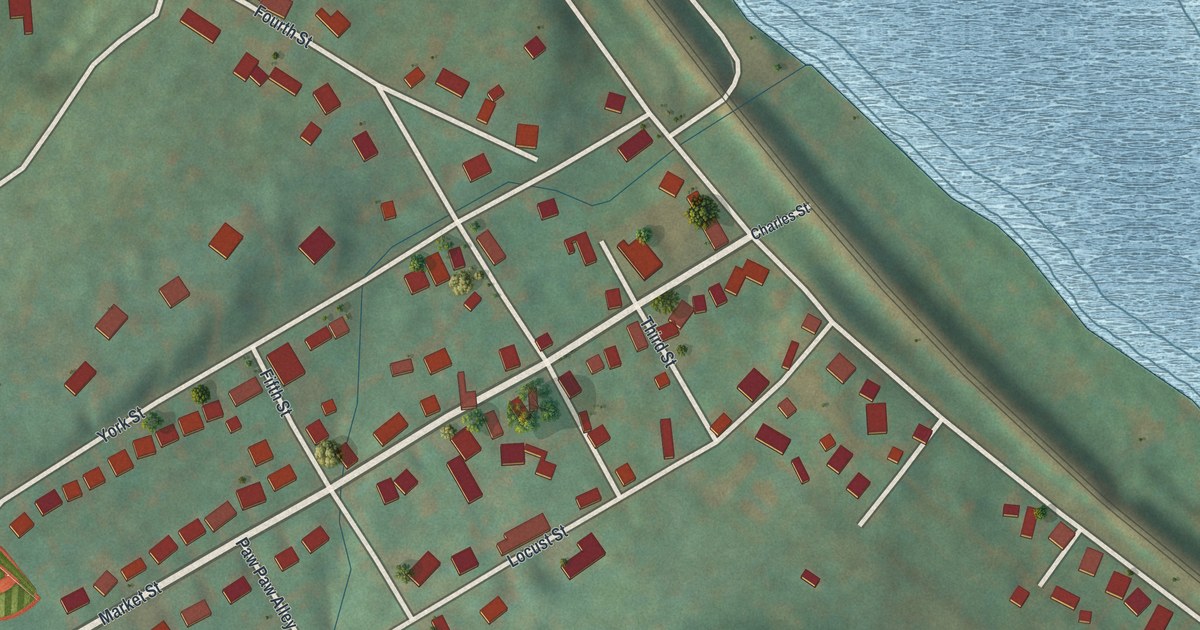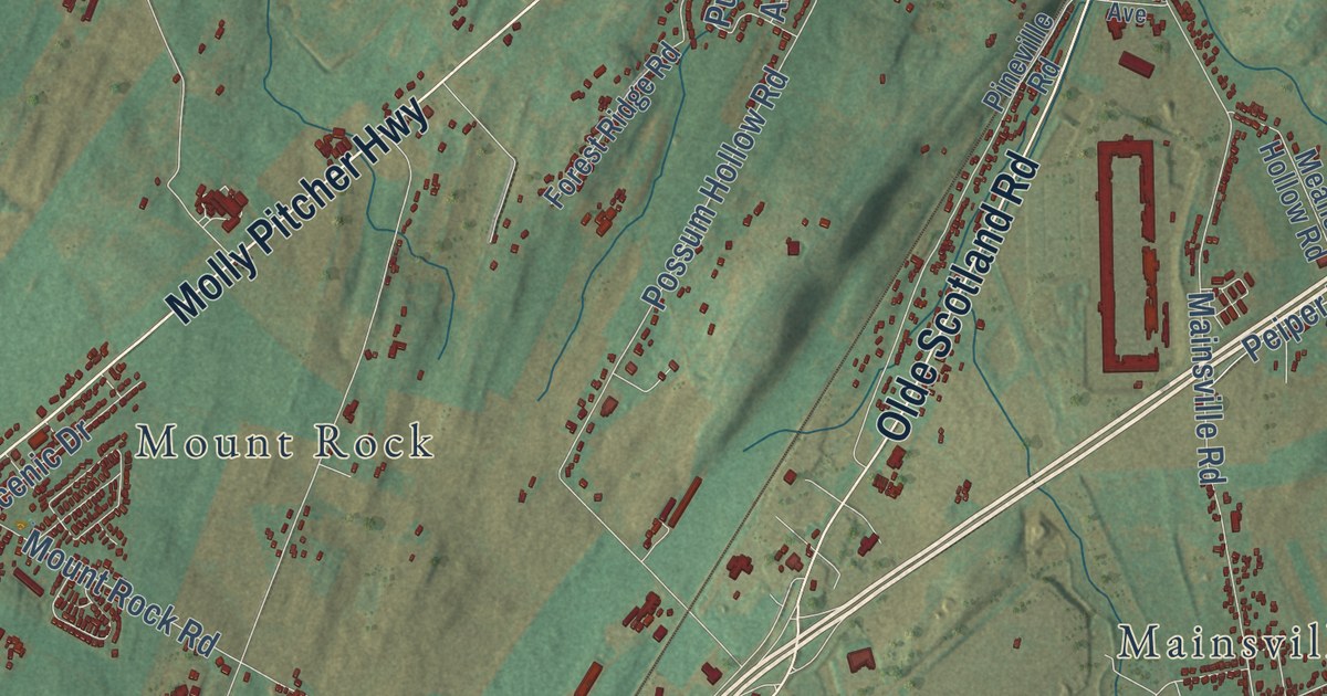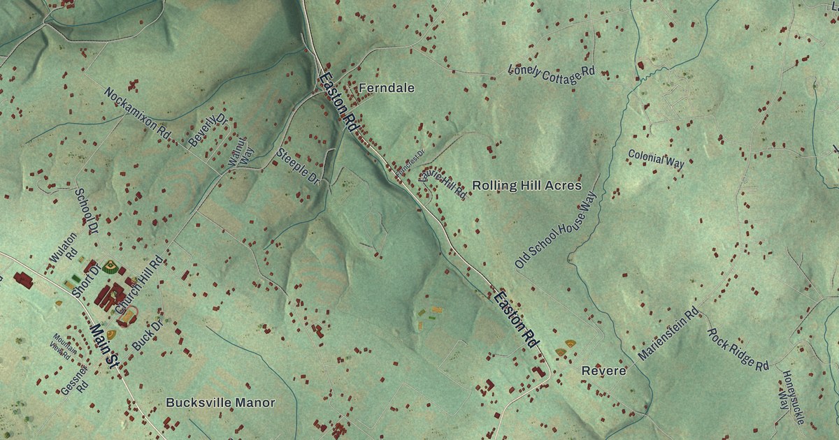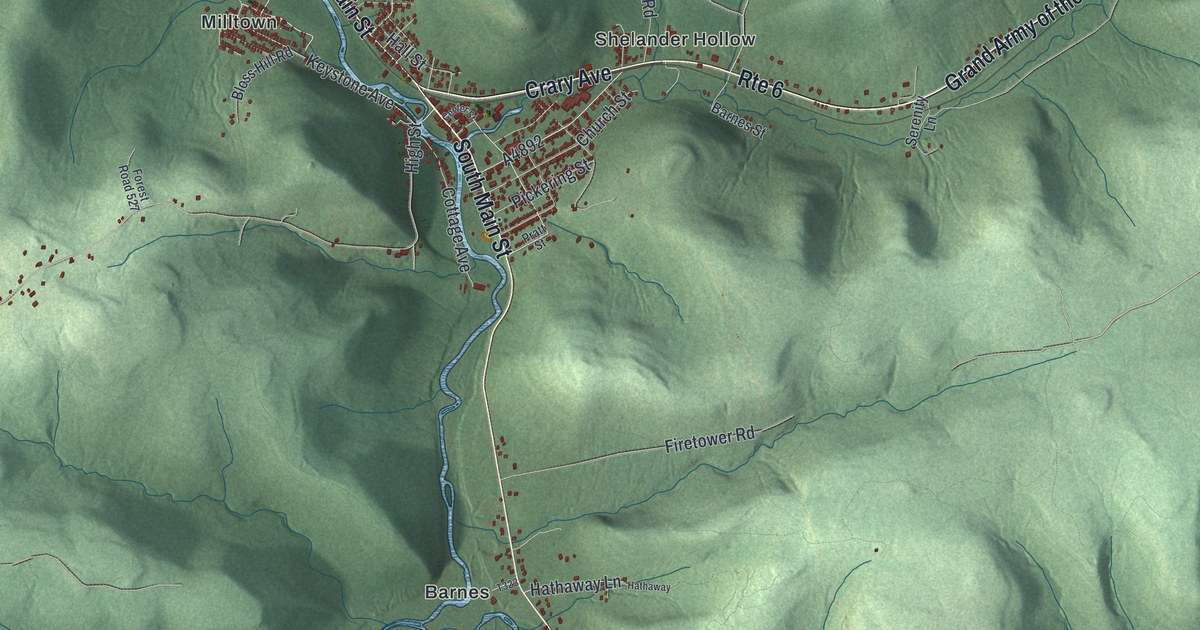
This beautifully detailed map of Sheffield, Pennsylvania was created in 2026 using aerial imagery combined with modern topographical, census, street and landmark data. It’s a one-of-a-kind view of Sheffield that combines accurate data with a vintage aesthetic. The map shows every building in its true location, many of the roads carry their names, and the shaded topographic relief shows the shape of the land.
Explore an aerial view of Sheffield, Pennsylvania
On the map you’ll find Cherry Run, Henrys Mills, Roystone, Saybrook, Barnes, Donaldson, Hoover, Milltown, Old Sheffield, and Shelander Hollow, along with South Main Street, West Main Street, and more. If you look closely you can even find your house accurately drawn in its correct location. Zoom in on the preview to look for yours.
Did you know this piece of Sheffield, Pennsylvania history?
From PA Roots: "James Osgood came to Sheffield township in 1848, and has been one of the justices of the peace in town for the last thirty-three consecutive years. His business for the first few years in Sheffield was shoemaking."
Take a closer look at the Sheffield map
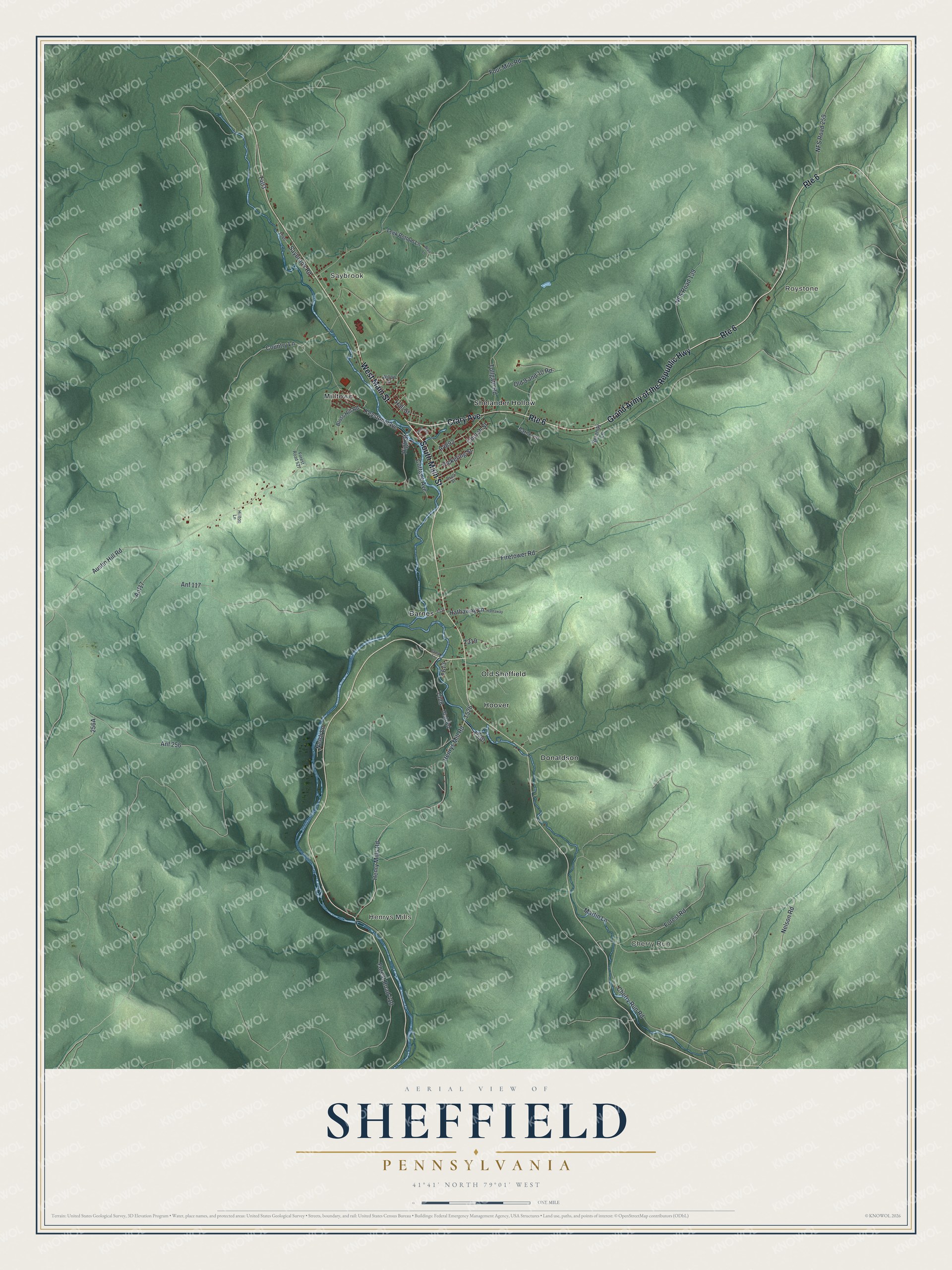
Street and place names on the Sheffield, Pennsylvania map
These names are printed on the map of Sheffield, Pennsylvania.
Places: Cherry Run, Henrys Mills, Roystone, Saybrook, Barnes, Donaldson, Hoover, Milltown, Old Sheffield and Shelander Hollow.
Streets and roads: South Main Street, West Main Street, Crary Avenue, Grand Army of the Republic Highway, Route 6, Forest Road, Nelson Road, Cherry Run Road, Keystone Avenue, High Street, Country Lane, Saybrook Road.
More street names, A to Z
Anf17, Anf 117, Anf 256, Austin Hill Road, Barnes Street, Blair Lane, Bloss Hill Road, Camp Lane, Center Street, Church Street, Cottage Avenue, Firetower Road, Forest Road 410, Forest Road 527, Four Mile Road, Hall Street, Hathaway, Hathaway Lane, Henry Mills Road, Henrys Mill Road, Hilltop Lane, Leek Bottom Lane, Martin Lane, Neish Lane, NFS Road 139, NFS Road 259, Old 9 and 10 Road, Pickering Street, Pratt Street, Serenity Lane, Tollgate Road, Utah Road, Willow Street.
See the Sheffield, Pennsylvania map on a wall
The Sheffield map as an 18 x 24 inch print in a black frame.

This beautifully detailed map of Sheffield makes an attractive addition to your office, library, or den, and it can even be used to teach children the geography and history of the area. It also makes a great gift for anyone with Sheffield roots. When you’re done exploring, click here to get your copy of the Sheffield map.