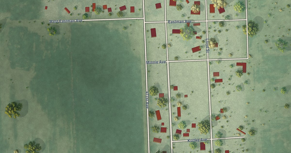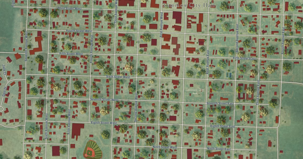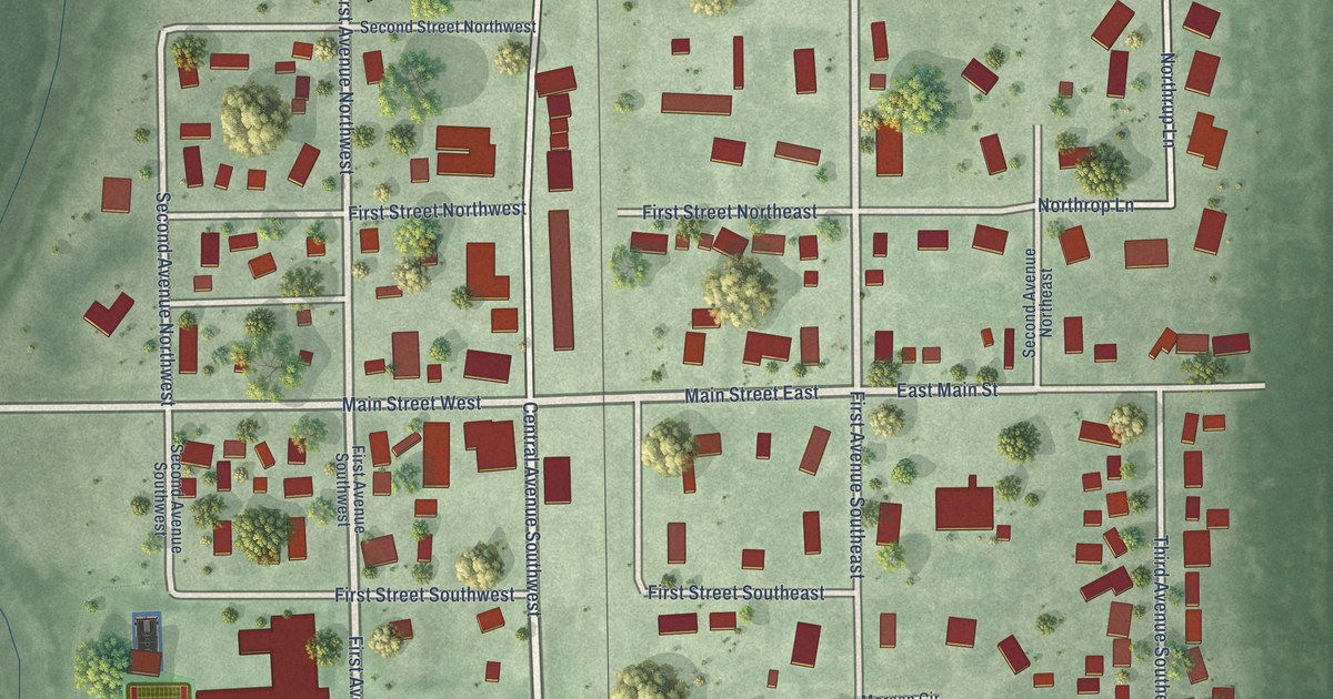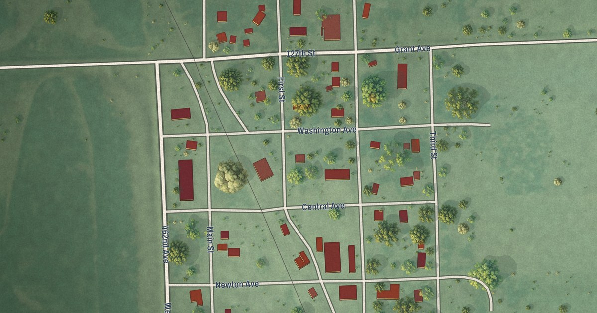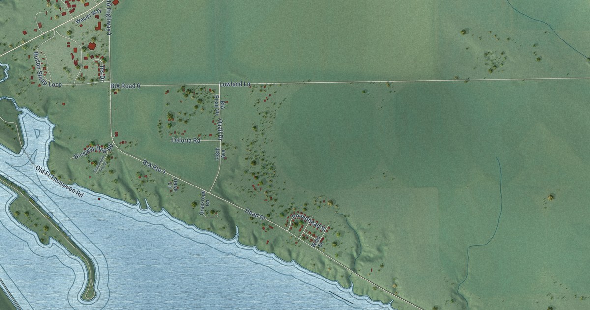
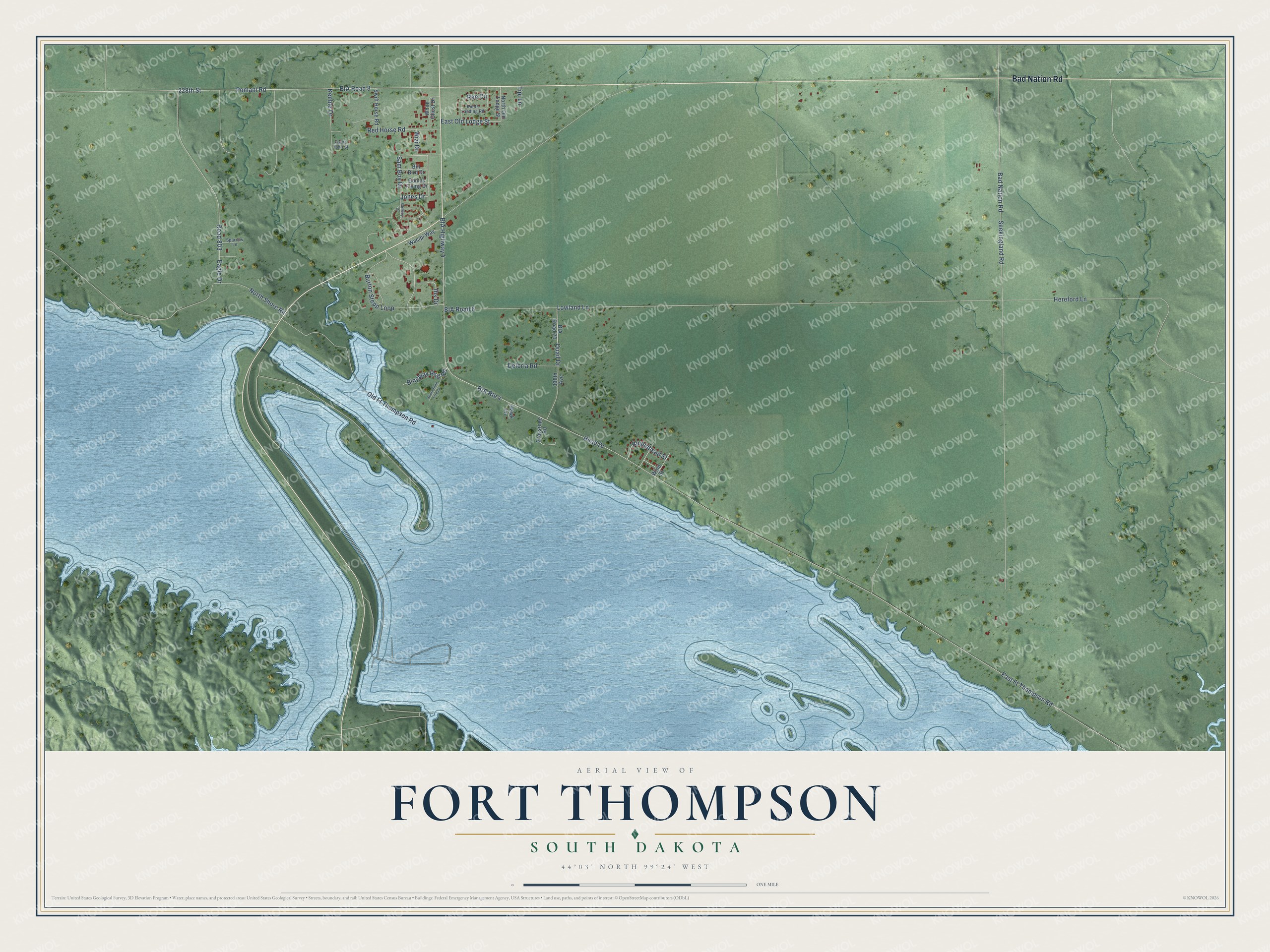
This beautifully detailed map of Fort Thompson, South Dakota was created in 2026 using aerial imagery combined with modern topographical, census, street and landmark data. It's a modern aerial view of Fort Thompson in Buffalo County, South Dakota, that combines modern data with a vintage aesthetic. The roads feature printed names, and if you look closely you can find your exact house accurately shown in its correct location.
Explore an aerial view of Fort Thompson, South Dakota
On this map you'll find Bad Nation Road, Jones Drive, Sam Boy Drive, Wizi Drive, Quail Drive, Head Drive, 228th Street, Seekingland Road, BIA Road 8, BIA Highway 4, East Ft Thompson Road, BIA Road 6, and more. Each red shape is a building, so zoom in on the preview and look for yours.
Fort Thompson has a story worth telling. Fort Thompson was named on May 30, 1863, for Clark W. Thompson, the Northern Indian Superintendent. That spring 1,601 Santee Sioux, mostly old men, women and children, and 1,945 Winnebago people were sent from Minnesota to the Missouri by steamboat. Winter came early, and by 1864 about 400 of the Santee had died. That's from the South Dakota State Historical Society.
Fort Thompson is a community in Buffalo County. The Census Bureau counted 1,224 people here in 2020.
Take a closer look at the Fort Thompson map
Names on this map
These names are printed on this map.
Streets and roads: Bad Nation Road, Jones Drive, Sam Boy Drive, Wizi Drive, BIA Route 4, Quail Drive, Head Drive, 228th Street, Seekingland Road, BIA Road 8, BIA Highway 4, East Ft Thompson Road.
More street names, A to Z
338th Avenue, BIA Road 6, BIA Road 20, Bill Bird Drive, Bingway Hsg Road, Burton Stepp Loop, Comes Flying Drive, Deloria Road, Eagle Drive, East Old Lodge Street, Grassrope Road, Hawk Lane, Hereford Lane, Ihs Drive, Keeble Drive, Knots Landing Road, Lowland Lane, North Old Lodge Street, North Shore Road, Old Ft Thompson Road, Pomani Road, Red Horse Road, Ree Circle, Road 803, Roundhead Street, Saint John Street, Samboy Drive, South Ruth Fire Lane, Sparrow Lane, Swift Horse Road, Tipi Lane, Wacipi Way, White Ghost Drive, Wind Street.
See it on a wall
The Fort Thompson map as a framed print. Swipe for more.


Created by KNOWOL in 2026. The buildings are small red shapes, the roads carry their printed names, and shaded relief shows the shape of the land. The title panel reads "AERIAL VIEW OF FORT THOMPSON, SOUTH DAKOTA" with 44°03' NORTH 99°24' WEST.
It looks right in a kitchen, an office or a den, and it's a gift for anyone who grew up in Fort Thompson or moved away. Open the preview and find your street. See sizes and frames for the Fort Thompson map.