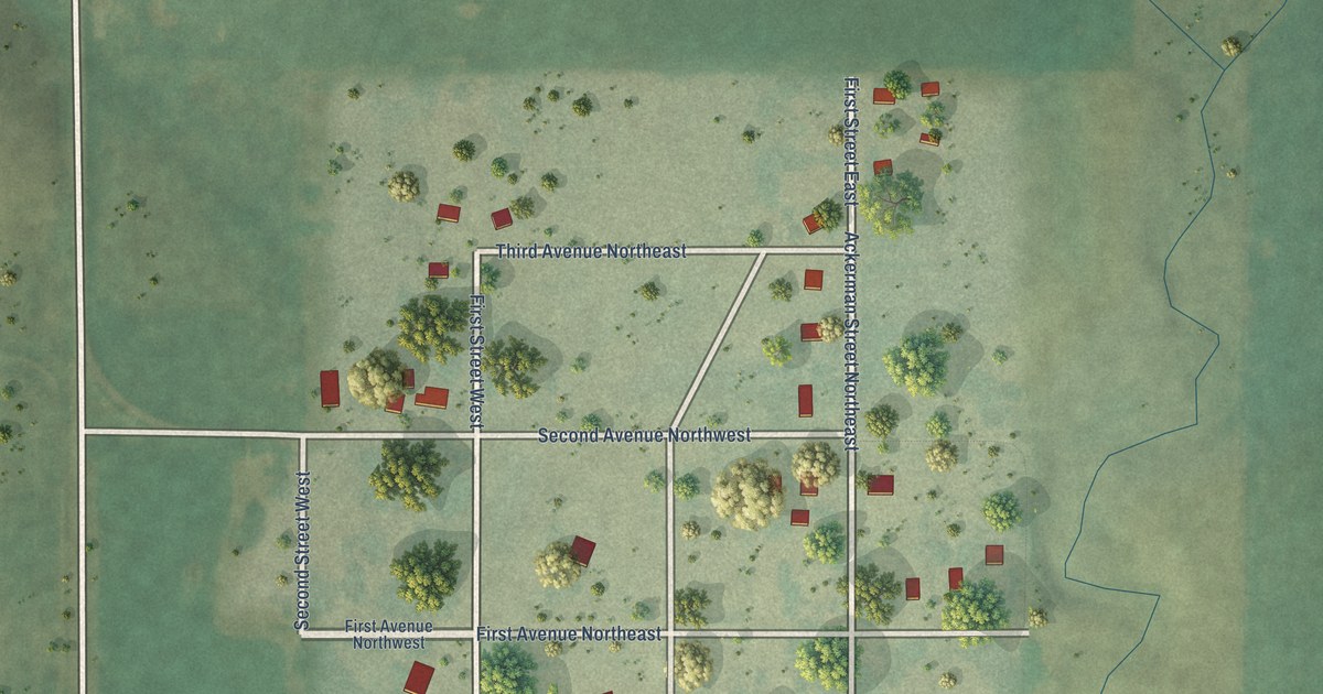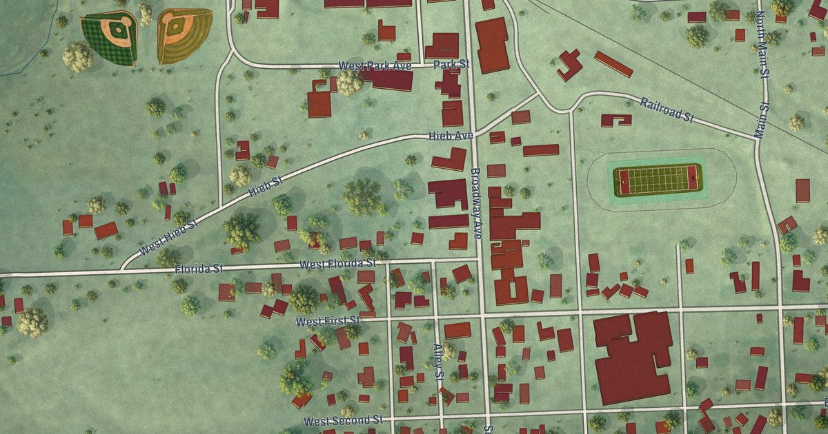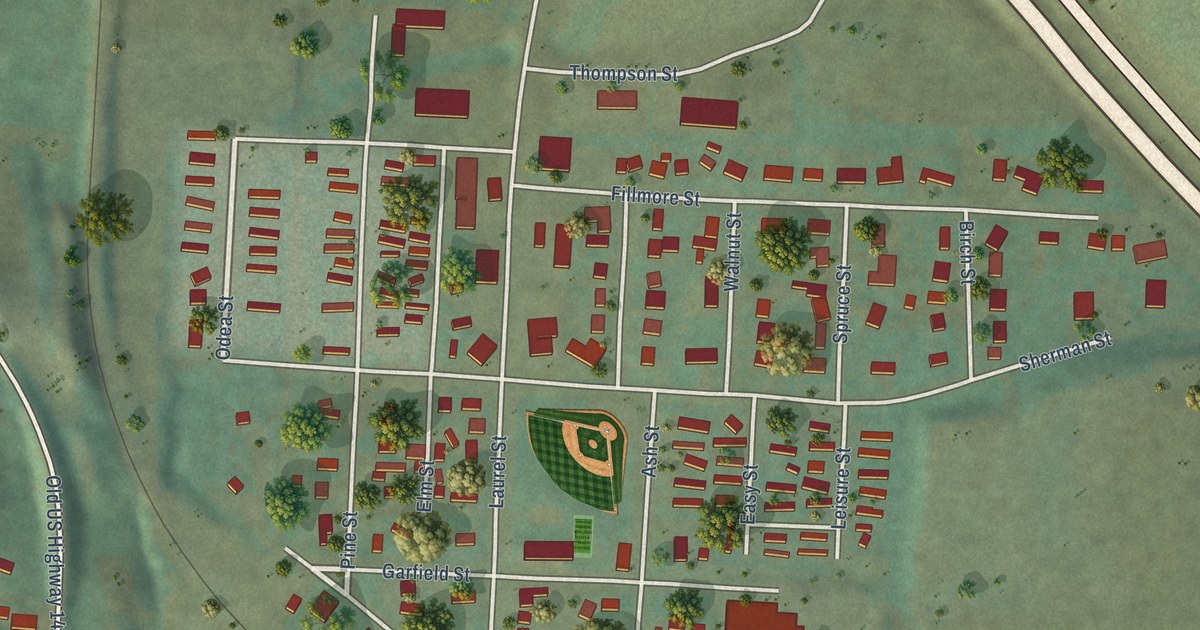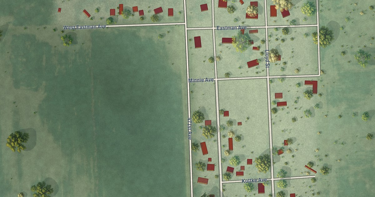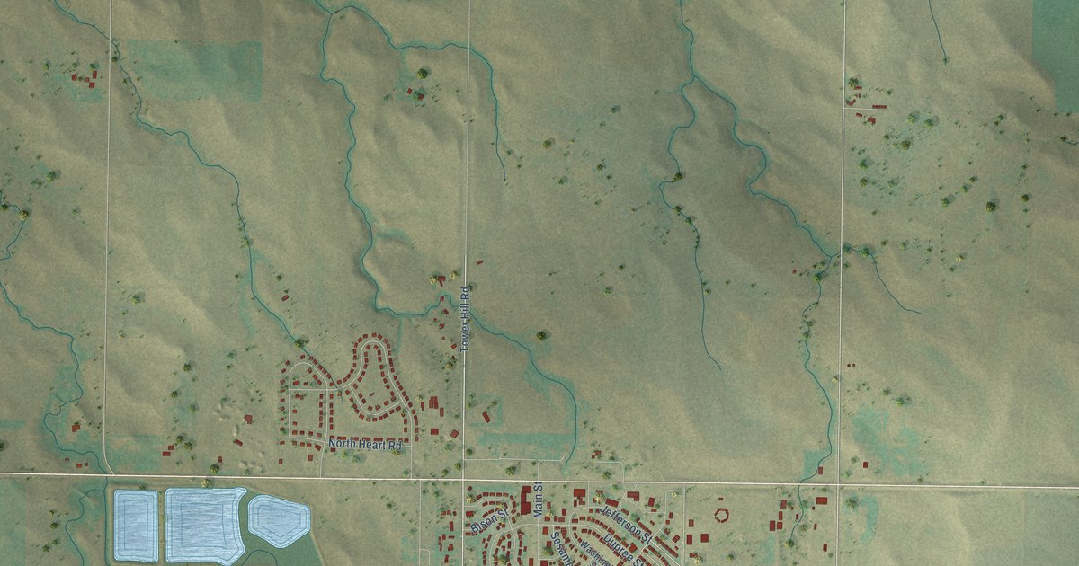
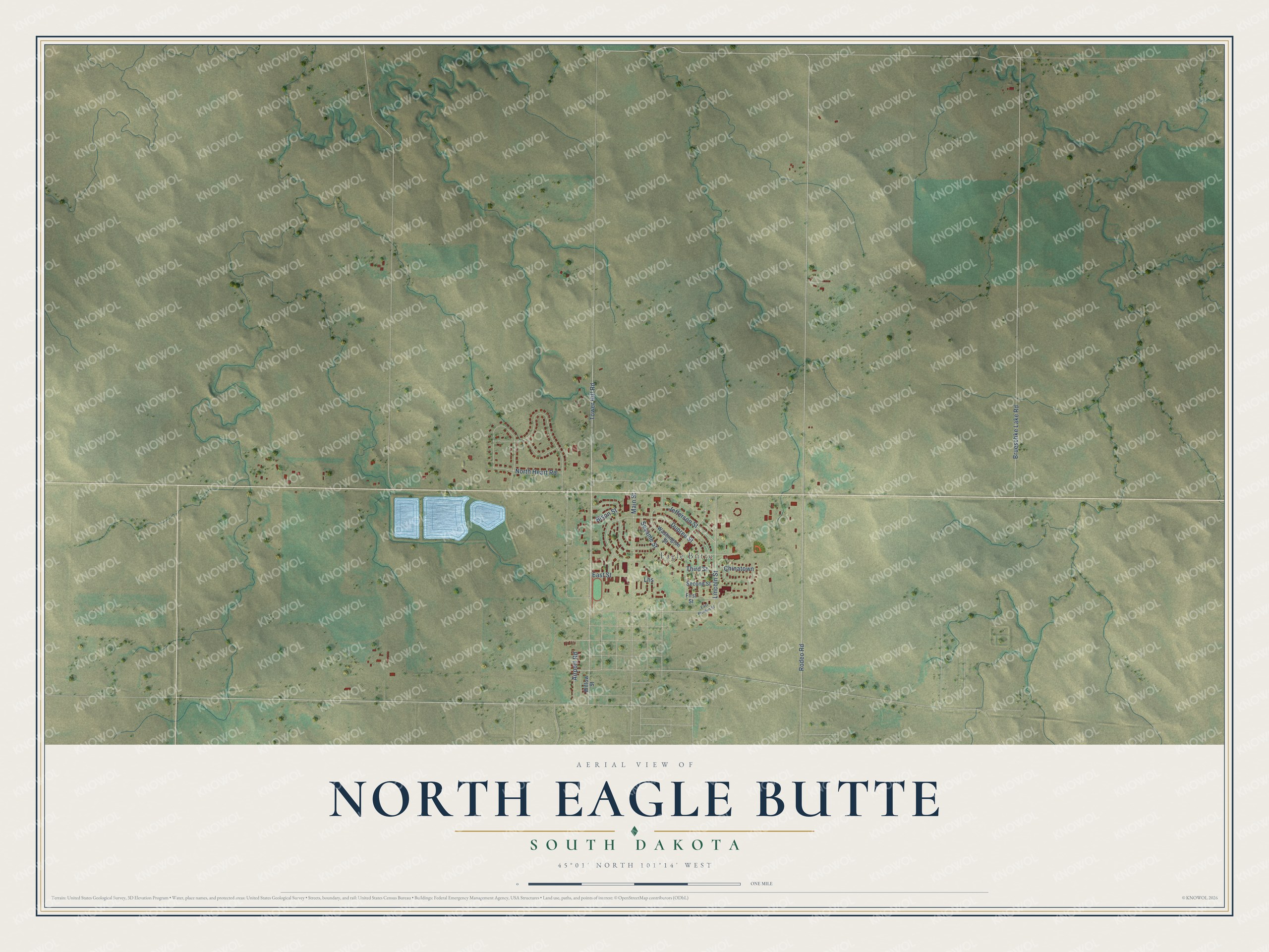
This beautifully detailed map of North Eagle Butte, South Dakota was created in 2026 using aerial imagery combined with modern topographical, census, street and landmark data. It's a modern aerial view of North Eagle Butte in Dewey County, South Dakota, that combines modern data with a vintage aesthetic. The roads feature printed names, and if you look closely you can find your exact house accurately shown in its correct location.
Explore an aerial view of North Eagle Butte, South Dakota
On this map you'll find Eagle Butte, Tower Hill Road, Rodeo Road, Jefferson Street, Lincoln Street, Dupree Street, Sesame Street, Third Street, Brueschke Lake Road, North Heart Road, Main Street, Chinatown, and more. Each red shape is a building, so zoom in on the preview and look for yours.
Here is a piece of North Eagle Butte history. In 1959 the Cheyenne River Agency made its final move, to the town of Eagle Butte. The move was forced by the Oahe Dam near Pierre, which flooded tribal lands along the Missouri River, and Eagle Butte became home to the tribal headquarters offices. The agency and its town had moved several times since 1870, when the post at Cheyenne River Agency was set up on the Missouri River above Fort Sully. That's from the Cheyenne River Sioux Tribe.
North Eagle Butte is a community in Dewey County. The Census Bureau counted 1,879 people here in 2020.
Take a closer look at the North Eagle Butte map
Names on this map
These names are printed on this map.
Places: Eagle Butte.
Streets and roads: Tower Hill Road, Rodeo Road, Jefferson Street, Lincoln Street, Dupree Street, Sesame Street, Third Street, Brueschke Lake Road, North Heart Road, Main Street, Chinatown, Bison Street.
More street names, A to Z
Airport Road, East Frontier Street, East Street, First Street, Lhs, Second Street, Washington Street, Willow Street.
See it on a wall
The North Eagle Butte map as a framed print. Swipe for more.


Created by KNOWOL in 2026. The buildings are small red shapes, the roads carry their printed names, and shaded relief shows the shape of the land. The title panel reads "AERIAL VIEW OF NORTH EAGLE BUTTE, SOUTH DAKOTA" with 45°01' NORTH 101°14' WEST.
It suits a den, a classroom or a front hall, and it makes a gift for anyone with North Eagle Butte roots. Open the preview and find the block you know. See sizes and frames for the North Eagle Butte map.