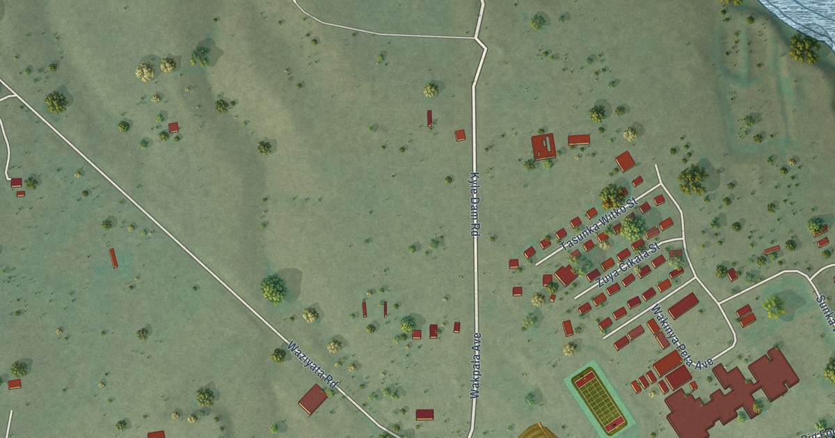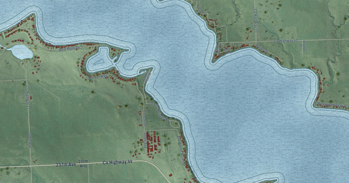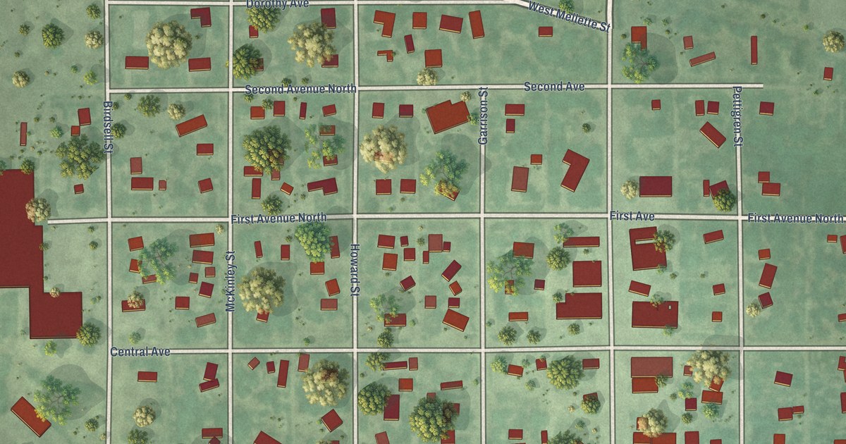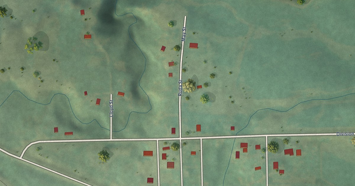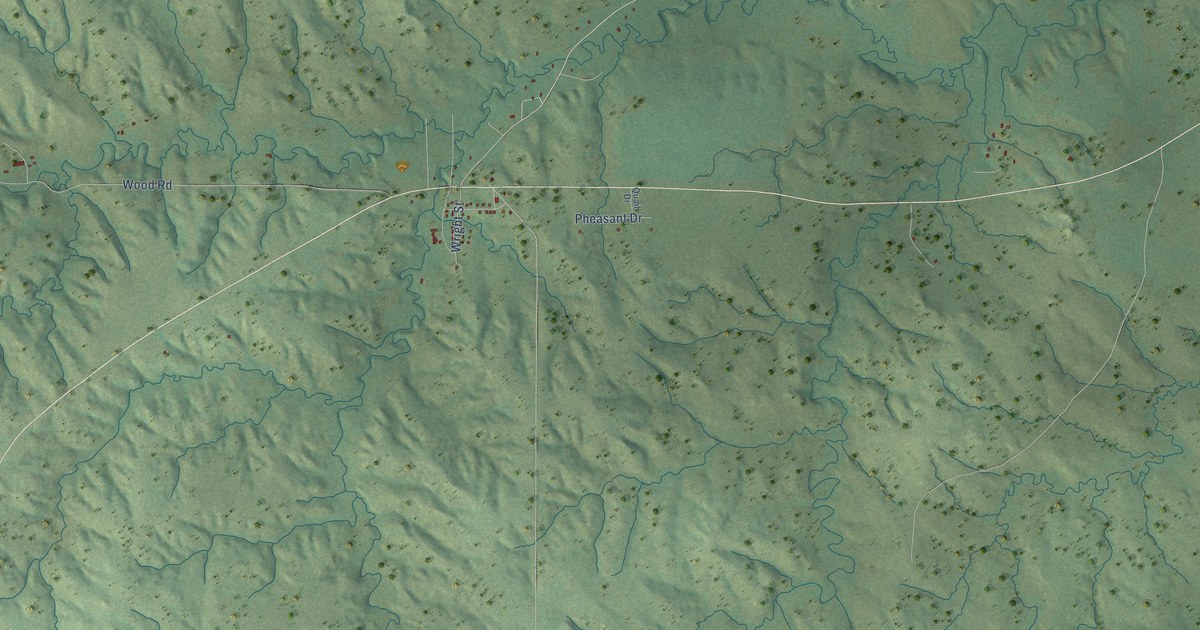
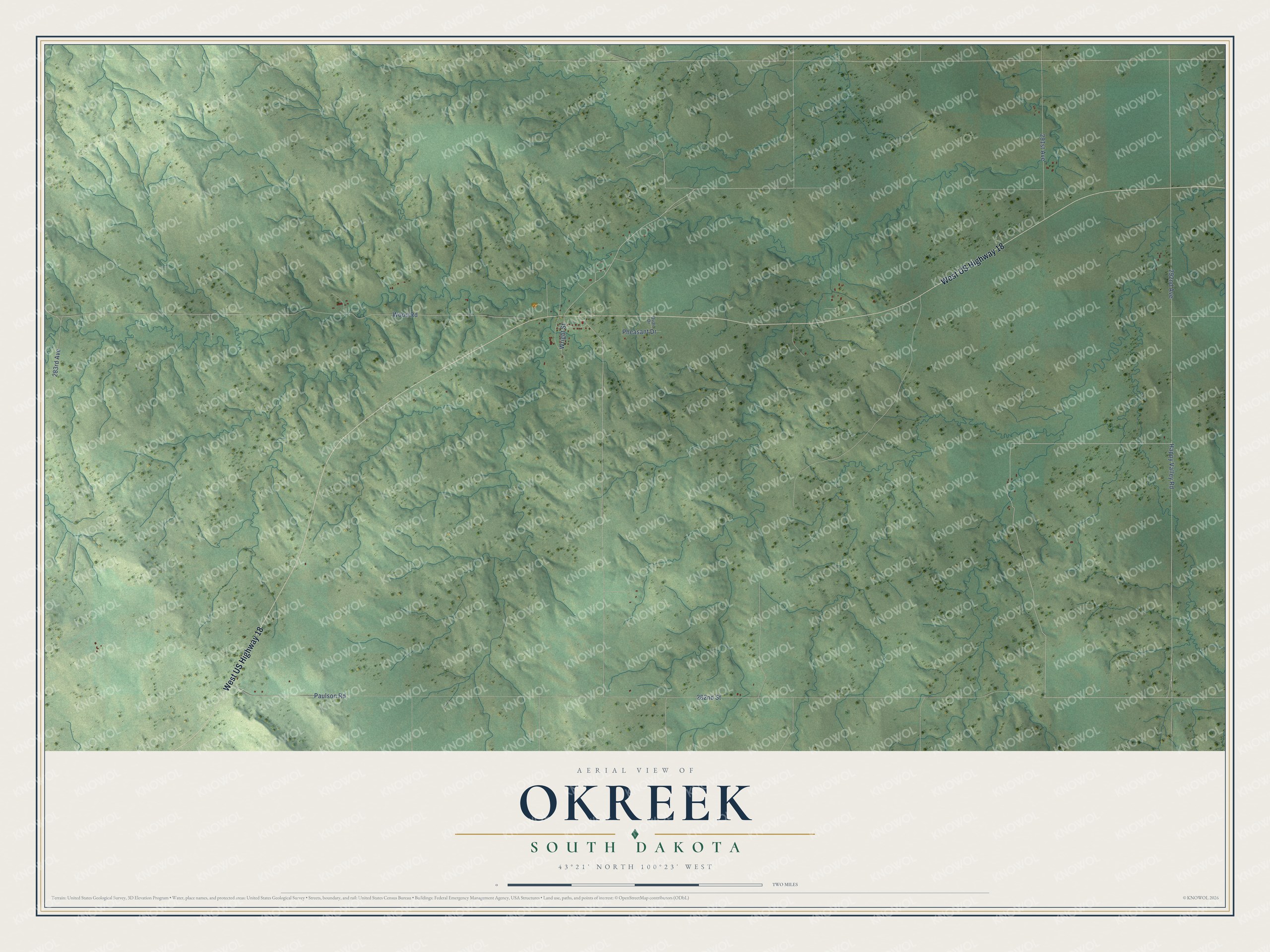
This beautifully detailed map of Okreek, South Dakota was created in 2026 using aerial imagery combined with modern topographical, census, street and landmark data. It's a modern aerial view of Okreek in Todd County, South Dakota, that combines modern data with a vintage aesthetic. The roads feature printed names, and if you look closely you can find your exact house accurately shown in its correct location.
Explore an aerial view of Okreek, South Dakota
On this map you'll find West US Highway 18, 292nd Avenue, Wood Road, 291st Avenue, 282nd Street, 283rd Avenue, Happy Valley Road, Paulson Road, Pheasant Drive, Wright Street, Quail Drive, and more. Each red shape is a building, so zoom in on the preview and look for yours.
Okreek has a story worth telling. After lightning set off a fire that destroyed the Okreek community center on June 8, 2004, the community built a new one. About 60 people gathered to dedicate it to the late Bernice Willcuts, who had served on the tribal council and as a tribal judge. Community chairman Ken Night Pipe said that out of every tragedy comes something good. That's from the Lakota Country Times.
Okreek is a community in Todd County. The Census Bureau counted 190 people here in 2020.
Take a closer look at the Okreek map
Names on this map
These names are printed on this map.
Streets and roads: West US Highway 18, 292nd Avenue, Wood Road, 291st Avenue, 282nd Street, 283rd Avenue, Happy Valley Road, Paulson Road, Pheasant Drive, Wright Street and Quail Drive.
See it on a wall
The Okreek map as a framed print. Swipe for more.


Created by KNOWOL in 2026. The buildings are small red shapes, the roads carry their printed names, and shaded relief shows the shape of the land. The title panel reads "AERIAL VIEW OF OKREEK, SOUTH DAKOTA" with 43°21' NORTH 100°23' WEST.
It looks right in a kitchen, an office or a den, and it's a gift for anyone who grew up in Okreek or moved away. Open the preview and find your street. See sizes and frames for the Okreek map.