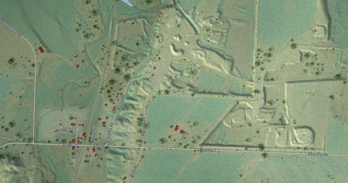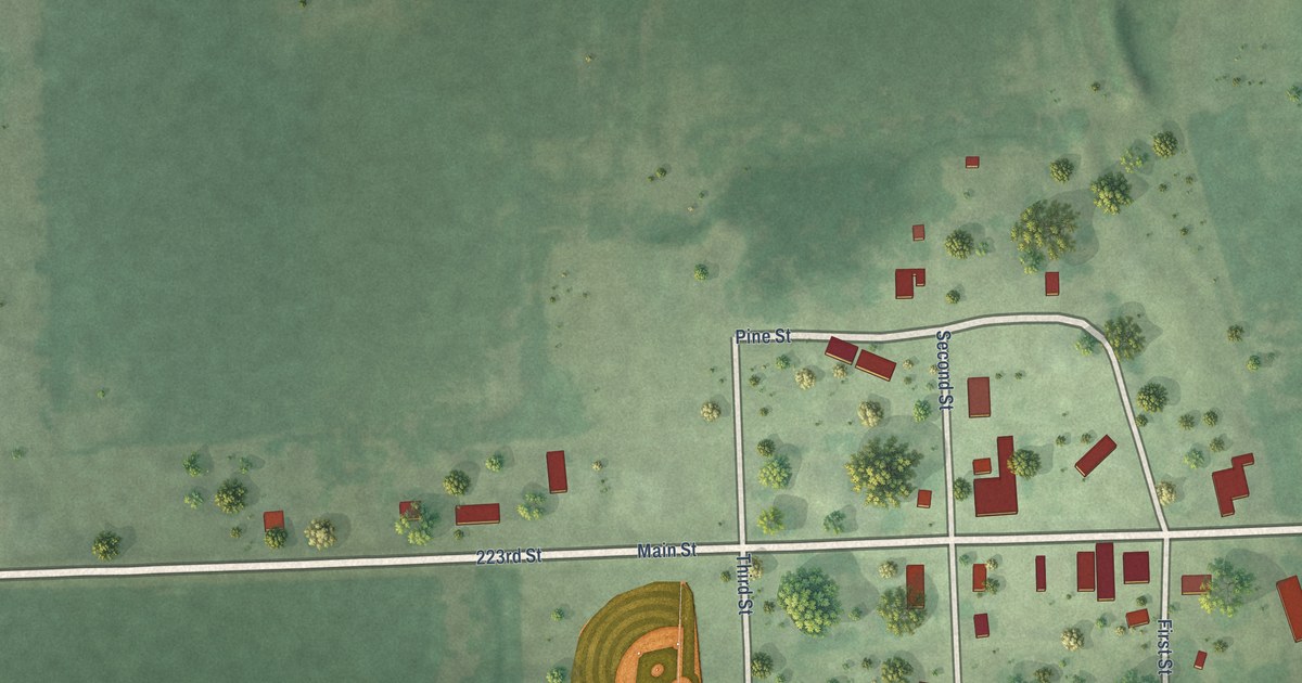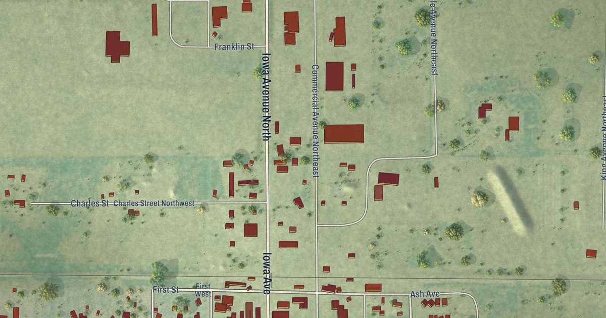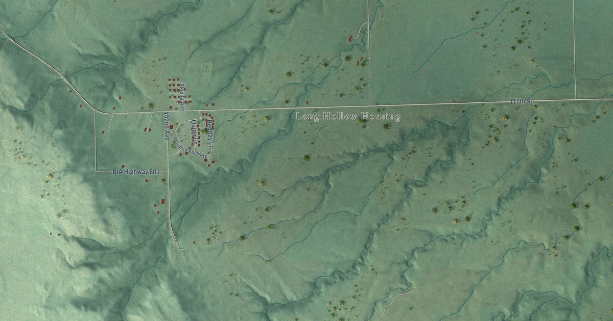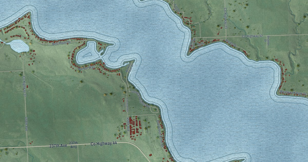
This beautifully detailed map of Lake Madison, South Dakota was created in 2026 using aerial imagery combined with modern topographical, census, street and landmark data. It's a modern aerial view of Lake Madison in Lake County, South Dakota, that combines modern data with a vintage aesthetic. The roads feature printed names, and if you look closely you can find your exact house accurately shown in its correct location.
Explore an aerial view of Lake Madison, South Dakota
On this map you'll find Smiths Park, Peninsula Park, Chautauqua, 461A Avenue, 237th Avenue, 461st Avenue, Co Highway 44, Co Highway 29, Co Highway 35, Country Highway 40, Co Highway 19, Co Highway 21, and more. Each red shape is a building, so zoom in on the preview and look for yours.
Lake Madison has a story worth telling. Lake Madison was one of eastern South Dakota's most popular resorts. A dancing pavilion, a large hotel auditorium and facilities for all kinds of water sports made it popular, and about 125 cottages stood along the lake's north side. That's from the Federal Writers Project.
Lake Madison is a community in Lake County. The Census Bureau counted 829 people here in 2020.
Take a closer look at the Lake Madison map

Names on this map
These names are printed on this map.
Places: Smiths Park, Peninsula Park and Chautauqua.
Streets and roads: 237th Avenue, 461st Avenue, County Highway 44, County Highway 29, County Highway 35, Country Highway 40, County Highway 19, County Highway 21, 238th Street, Lake Drive, Wentworth Park Drive, Johnsons Point Road.
More street names, A to Z
236th Street, 237th Arry, 237th Street, 458 Avenue, 458th Avenue, 459th Avenue, 460th Avenue, Bayview Lane, Best Point Drive, Chautauqua Avenue, Christiansen Lane, County Highway 23, County Highway 25, County Highway 27, County Highway 40, County Highway 42, County Highway 46, Crescent Lane, Dakota Avenue, Dakota Drive, Evergreen Acres Drive, Fischer Circle, Fischer Drive, Fischer Lane, Fischer Place, Golf Drive, Harbor Way, Hares Drive, Hares Lane, Hares Point Road, Killaney Park Drive, Killarney Park Drive, Lake Ridge Drive, Lake View Drive, Lenola Heights, Lenola Heights Road, Linden Drive, Marrs Beach Lane, North Gulch Lane, North Lakeside Drive, Paynes Trail, Peninsula Lane, Peninsula Point, Point Drive, Round Lake Drive, Silver Creek Drive, Smith Drive, Smith Trail, Stratton Drive, Sunset Boulevard, Village Road, Walkers Point Drive, Wicklow Hills Lane, Woodland Drive, Zimmermann Drive.
See it on a wall
The Lake Madison map as a framed print. Swipe for more.


Created by KNOWOL in 2026. The buildings are small red shapes, the roads carry their printed names, and shaded relief shows the shape of the land. The title panel reads "AERIAL VIEW OF LAKE MADISON, SOUTH DAKOTA" with 43°57' NORTH 97°01' WEST.
It looks right in a kitchen, an office or a den, and it's a gift for anyone who grew up in Lake Madison or moved away. Open the preview and find your street. See sizes and frames for the Lake Madison map.