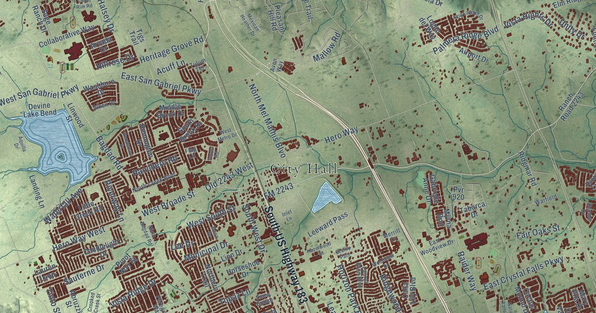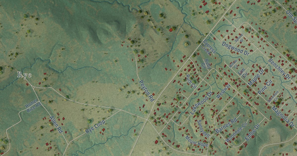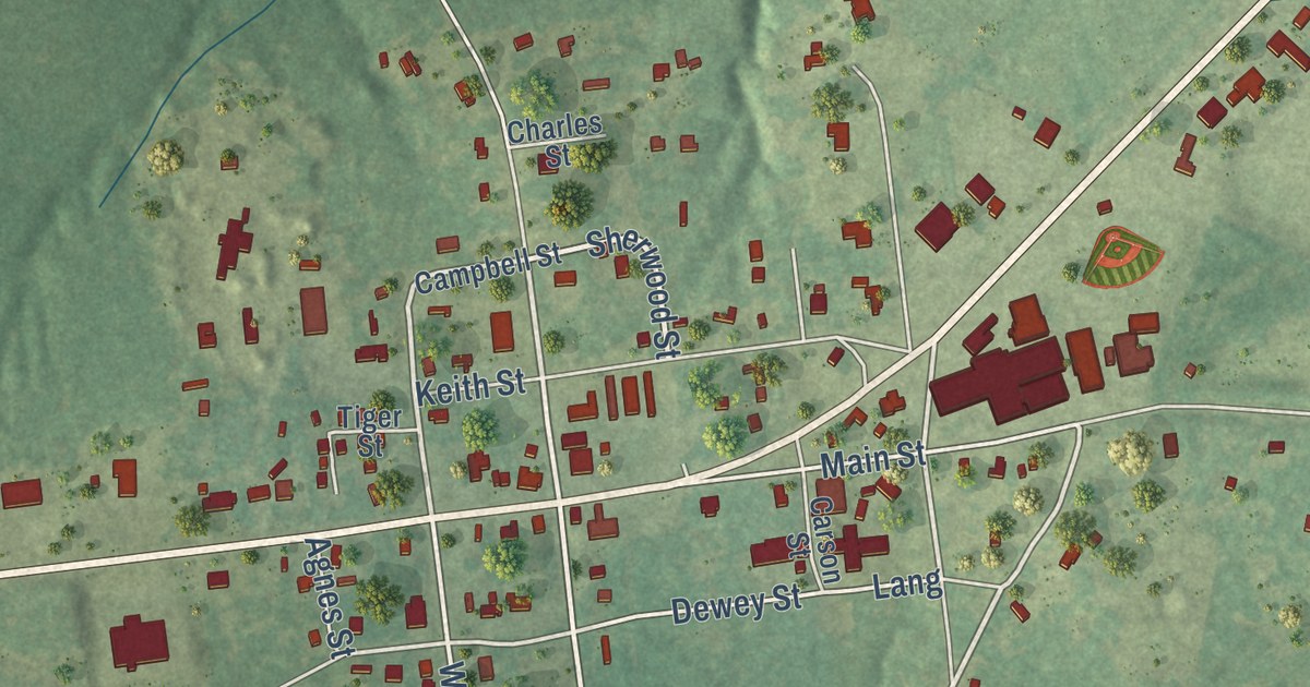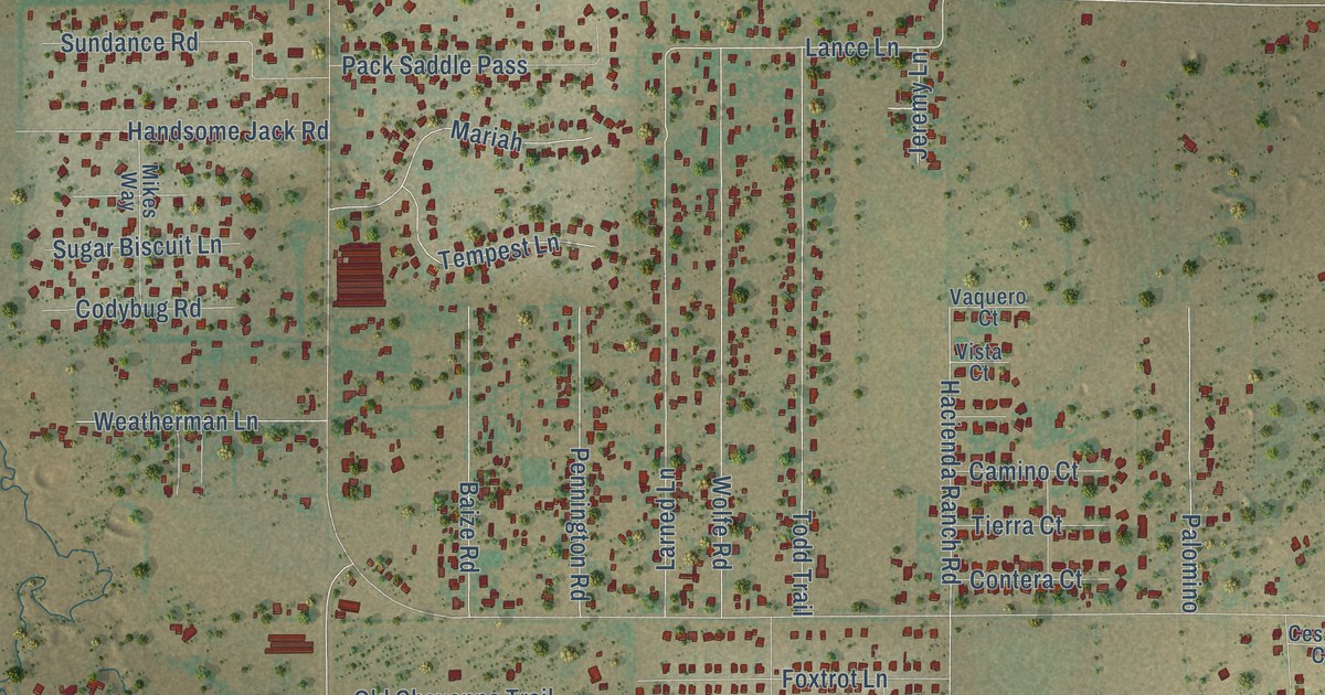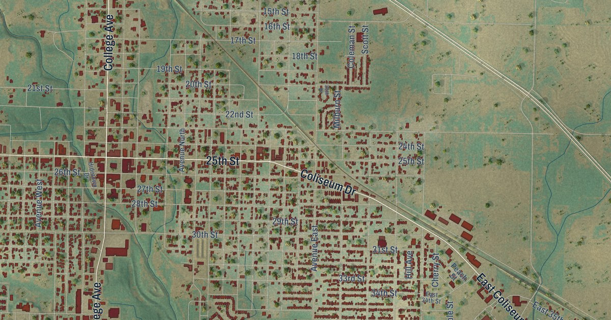
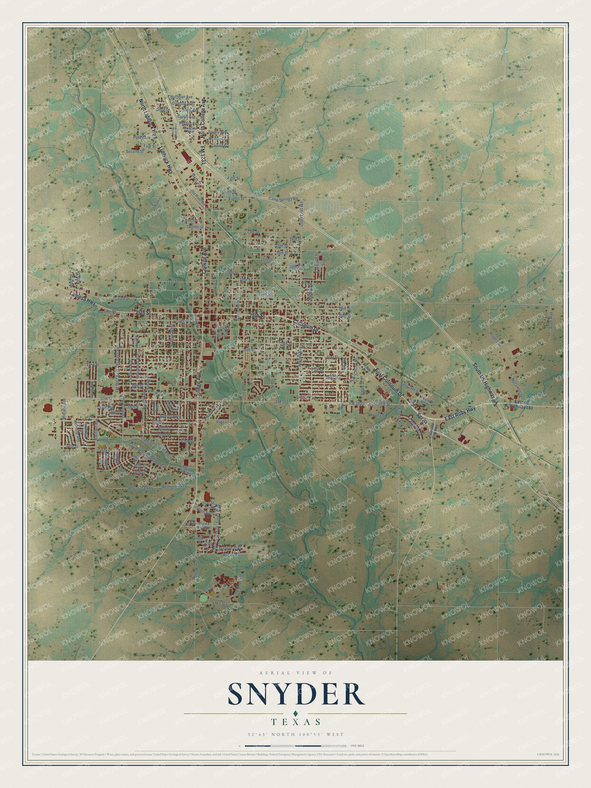
This beautifully detailed map of Snyder, Texas was created in 2026 using aerial imagery combined with modern topographical, census, street and landmark data. It’s a one-of-a-kind view of Snyder that combines accurate data with a vintage aesthetic. The map shows every building in its true location, many of the roads carry their names, and the shaded topographic relief shows the shape of the land.
Explore an aerial view of Snyder, Texas
On the map you’ll find Spr 84, along with Coliseum Drive, East Coliseum Drive, 25th Street, FM 1231, East Roby Highway, North College Avenue, Lubbock Highway, North Lubbock Highway, College Avenue, South US Highway 84, Lamesa Highway, and more. If you look closely you can even find your house accurately drawn in its correct location. Zoom in on the preview to look for yours.
Did you know this piece of Snyder, Texas history?
From the Handbook of Texas: "Snyder remained a farming and ranching community until 1948, when oil was discovered on the Canyon Reef formation north of town."
Take a closer look at the Snyder map
Street names on the Snyder, Texas map
These names are printed on the map of Snyder, Texas.
Streets and roads: Spr 84, Coliseum Drive, East Coliseum Drive, 25th Street, FM 1231, East Roby Highway, North College Avenue, Lubbock Highway, North Lubbock Highway, College Avenue, South US Highway 84, Lamesa Highway.
More street names, A to Z
13th Street, 14th Street, 15th Street, 16th Street, 17th Street, 18th Street, 19th Street, 20th Place, 20th Street, 21st Street, 22nd Street, 23rd Street, 24th Street, 26th Street, 27th Street, 28th Street, 29th Street, 30th Street, 31st Street, 32nd Street, 33rd Street, 34th Street, 35th Street, 36th Place, 36th Street, 37th Street, 38th Place, 38th Street, 39th Street, 40th Place, 40th Street, 41st Street, 42nd Street, 43rd Street, 44th Street, 45th Street, 46th Street, 47th Street, 48th Street, 51st Street, 52nd Street, 53 Way, Apple Street, Augusta Drive, Austin Avenue, Austin Place, Avenue East, Avenue North, Avenue West, Avondale Avenue, Baze Way, Beaumont Avenue, Boyd Lane, Brick Plant Road, Camp Springs Road, Campus Drive, Canyon Avenue, Cedar Creek Drive, Cherry Street, Cogdell Boulevard, Coleman Street, Colorado City Highway, Crockett Avenue, Denison Avenue, Dormitory Drive, East 34th Street, East 35th Street, East 36th Street, East 37th Street, Eastridge Drive, East US Highway 180, Eighth Street, Eleventh Street, El Paso Avenue, Etgen Boulevard, Fifth Street, First Street, FM 1605, FM 1607, FM 1607 East, FM 1673 North, FM 2763, Fredonia Avenue, Garwood Avenue, Gilmore Avenue, Hidetown Drive, Highland Drive, Hill Avenue, Houston Avenue, Houston Parkway, Huffman Avenue, Irving Avenue, Jacksboro Avenue, Kerrville Avenue, Kola Avenue, Ksny Drive, Live Oak Lane, Lubbock Avenue, Martha Ann Boulevard, McCowen Street, Mc Glaun Avenue, Memorial Way, Merrill Avenue, Midland Avenue, Milburn Street, Moncrief Avenue, Muriel Drive, Ninth Street, Noble Drive, North Avenue West, Old Post Road, Oneil Avenue, Oneil Drive, Parks Avenue, Peach Street, Peyton Avenue, Preston Trail, Rogers Street, Rose Circle, Royal Court, Royal Drive, Scott Street, Scurry Avenue, Second Street, Seventh Street, Shady Oaks Lane, Sixth Street, Sumerlin Road, Sunset Avenue, Tenth Street, Towle Park Road, Towle Park Road North, Towle Park Road South, Twelfth Street, Voss Lane, West Drive, Westridge Drive.
See the Snyder, Texas map on a wall
The Snyder map as an 18 x 24 inch print in a black frame.

This beautifully detailed map of Snyder makes an attractive addition to your office, library, or den, and it can even be used to teach children the geography and history of the area. It also makes a great gift for anyone who grew up in Snyder or moved away. When you’re done exploring, click here to get your copy of the Snyder map.