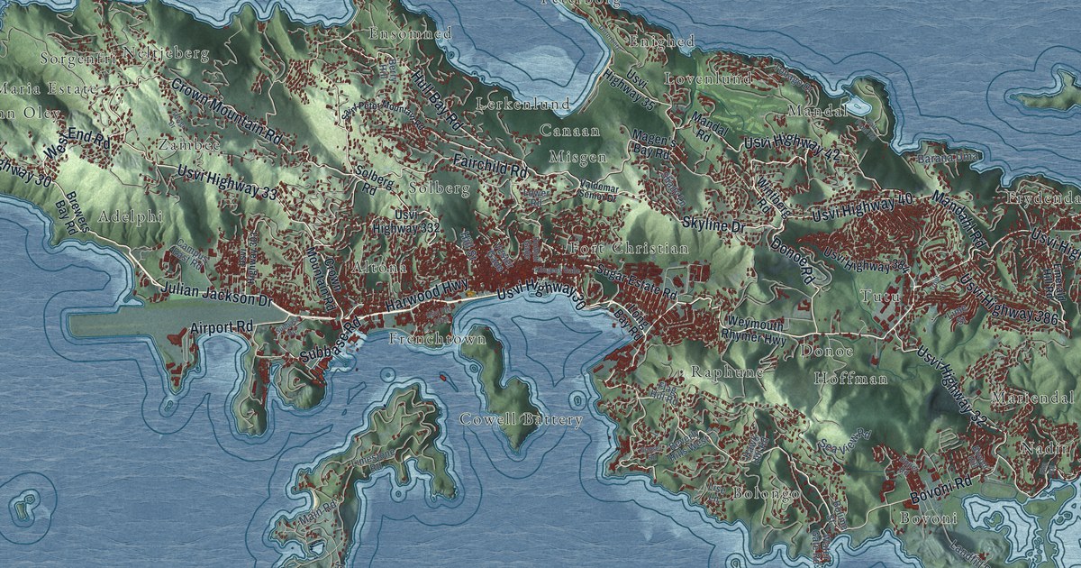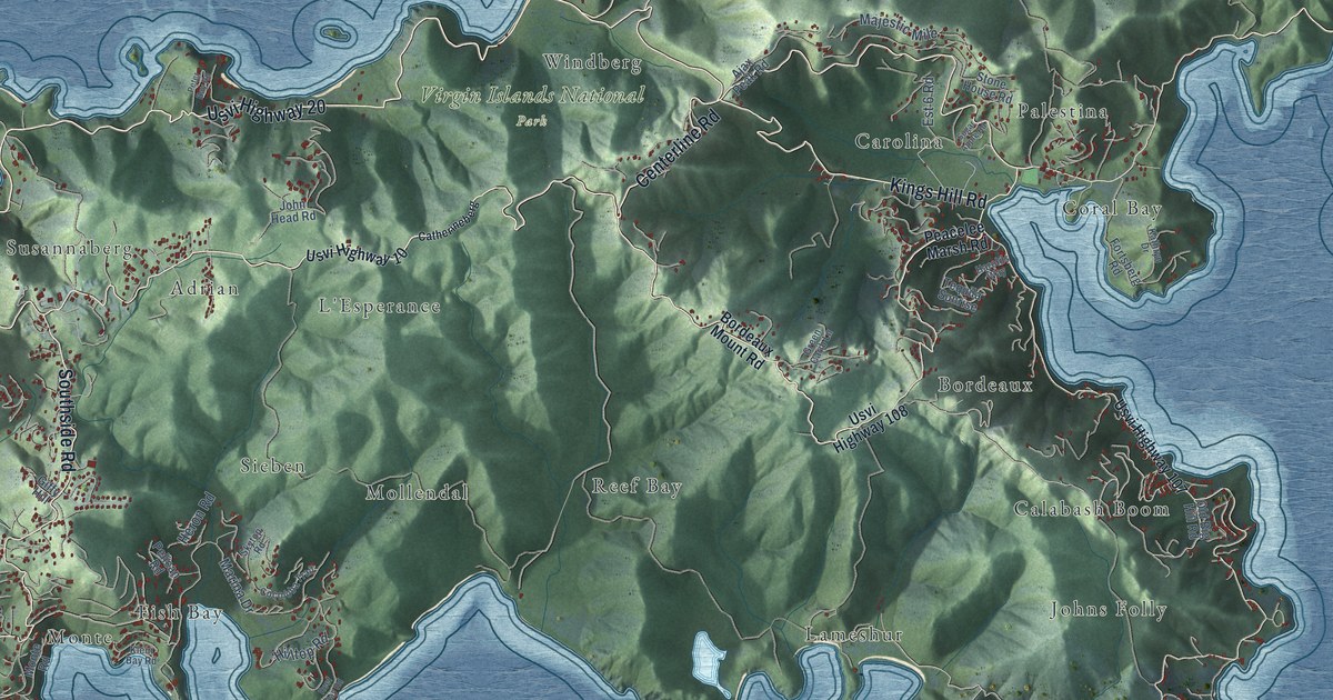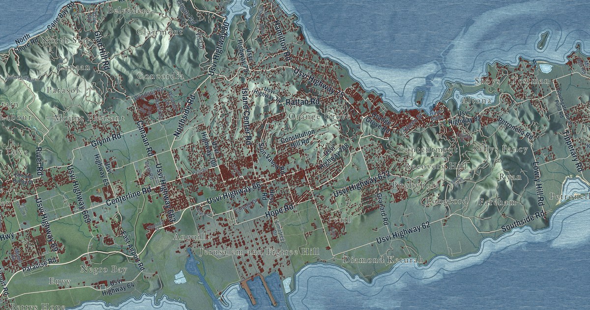
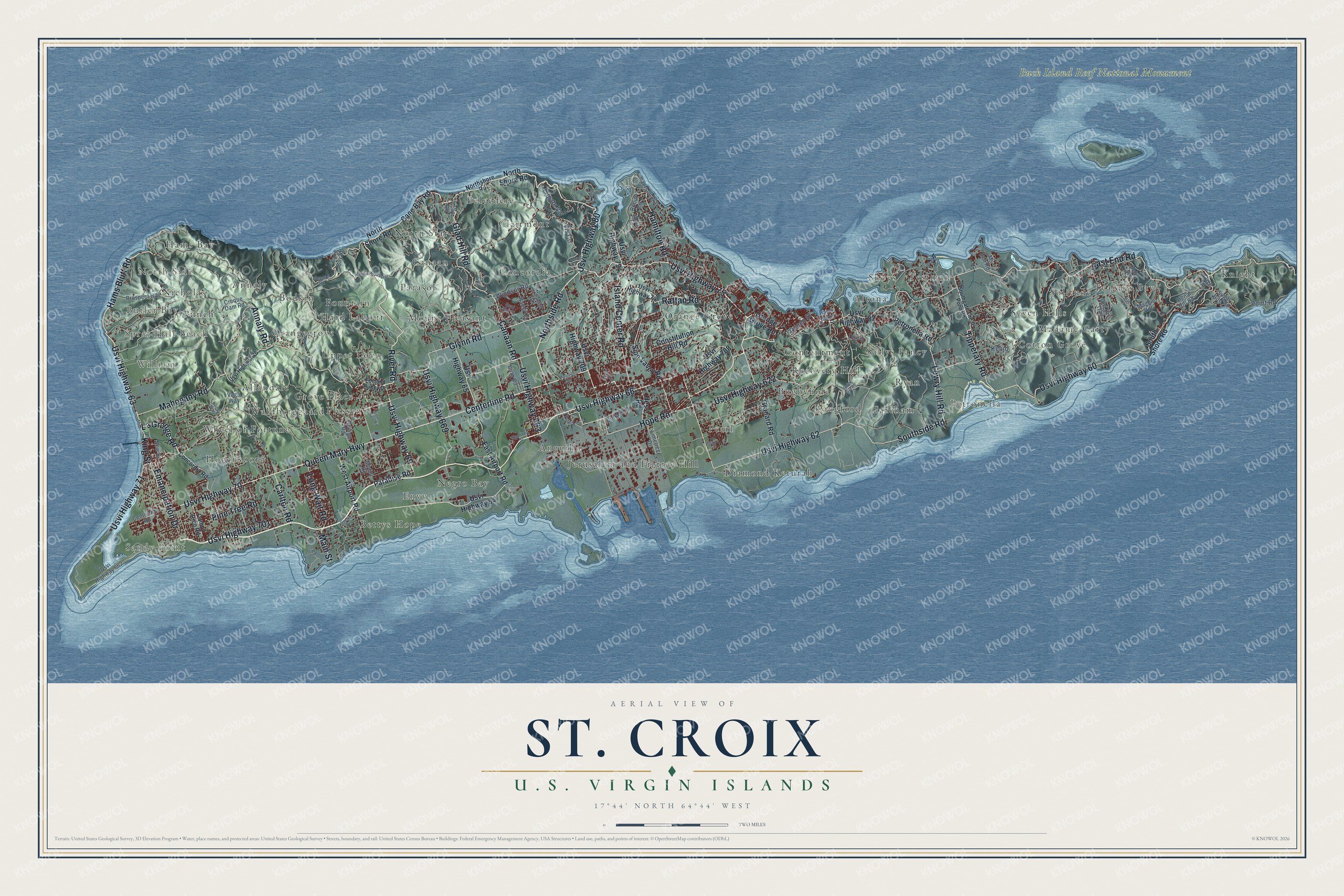
This beautifully detailed map of St. Croix, U.S. Virgin Islands was created in 2026 using aerial imagery combined with modern topographical, census, street and landmark data. It's a modern aerial view of the island of St. Croix, U.S. Virgin Islands, that combines modern data with a vintage aesthetic. The roads feature printed names, and if you look closely you can find your exact house accurately shown in its correct location.
Explore an aerial view of St. Croix, U.S. Virgin Islands
On this map you'll find Sprat Hall Beach, Butler Bay, North Side, William, Sandy Point, Buck Island Reef National Monument, Diamond Keturah, Belvedere, Cotton Grove, Envy, Knight, Fountain, and more. Each red shape is a building, so zoom in on the preview and look for yours.
St. Croix is one of the three main islands of the U.S. Virgin Islands. The Census Bureau counted 41,004 people here in 2020. The map prints the island name in its title panel, with the coordinates below it.
Take a closer look at the St. Croix map
Names on this map
These names are printed on this map.
Places: Sprat Hall Beach, Butler Bay, North Side, William, Sandy Point, Buck Island Reef National Monument, Diamond Keturah, Belvedere, Cotton Grove, Envy, Knight, Fountain, Ryan, Hogensborg, Testman, Orangegrove, Concordia, Solitude, Contentment, Anguilla, Grove Place, Mount Pleasant, Jerusalem and Figtree Hill, North Star, Wheel of Fortune, Madame Carty, Sallys Fancy, Longford, Clairmont, Altona, Seven Hills, Pearl, Fareham, Nicholas, Bodkin, Annaly, Allandale, Bettys Hope, Parasol, Teagues Bay, Hams Bay, Bugbyhole, Recovery Hill, Punch, Upper Love, Canaan, Orange Grove, Petronella, Hard Labour, Plessen, Shoys, Waldberggaard and Negro Bay.
Streets and roads: Queen Mary Highway, Usvi Highway 70, Usvi Highway 75, Usvi Highway 80, Northside Road, Usvi Highway 69, Hams Bluff Road, Emancipation Drive, King Street, La Grange Road, Glad Hill Road, Centerline Road.
More street names, A to Z
Acoy Road, Annaly Road, Bella Vis, Campo Rico Road, Canaan Road, Cane Bay Road, Carlton Road, Concordia Road, Constitution Hill Road, Cottage Drive, Creque Dam Road, Crystal Lane, Dirth Road, Divi Divi Trail, East Airport Road, East End Road, Edmond Hurley Drive, Frigate Vw, George Road, Glynn Road, Granard Road, Grove School Road, Hamilton Road, Have Gade, Hess Road, Hope Road, Island Center Road, Jefferson Way, Kenjo, Kling Way, Limetree Drive, Long Wait Road, Lowry Hill Road, Mac Drive, Maggie Hill, Mahogany Road, Main Street, Mount Road, Ms Bea Road, New Street, North Shore Road, Northshore Road, Orange Grove Road, Palm Drive, Palm Lane, Paradise Road, Pelican Drive, Petronella Road, Pine Tree Road, Point Road, Prospect Hill, Queen Street, Rama Lane, Ramirez Street, Rattan Road, Ridge Road, River Road, Robin Circle, Robin Lane, Salt River Road, Scenic Road, Scenic Road West, Signal Hill Road, Sion Valley Road, Soul Sop Street, Southgate-Great Pond Road, South Shore Road, Southside Road, Spring Gut Road, Sugar Bird Road, Sunset Drive, Tipperary Road, Tulipan Drive, Usvi Highway 60, Usvi Highway 62, Usvi Highway 63, Usvi Highway 64, Usvi Highway 65, Usvi Highway 66, Usvi Highway 71, Usvi Highway 74, Usvi Highway 76, Usvi Highway 79, Usvi Highway 82, Usvi Highway 622, Usvi Highway 662, Usvi Highway 663, Usvi Highway 669, Usvi Highway 701, Usvi Highway 708, Usvi Highway 709, Vagli Way, Vis Co, West Airport Road, Windsor Lane, Windsor Road.
See it on a wall
The St. Croix map as a framed print. Swipe for more.


Created by KNOWOL in 2026. The buildings are small red shapes, the roads carry their printed names, and shaded relief shows the shape of the land. The title panel reads "AERIAL VIEW OF ST. CROIX, U.S. VIRGIN ISLANDS" with 17°44' NORTH 64°44' WEST.
It looks right in a kitchen, an office or a den, and it's a gift for anyone who grew up in St. Croix or moved away. Open the preview and find your street. See sizes and frames for the St. Croix map.