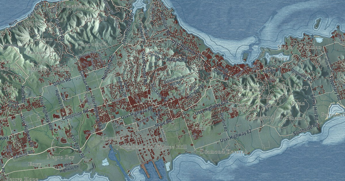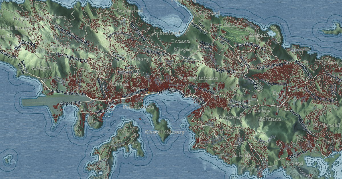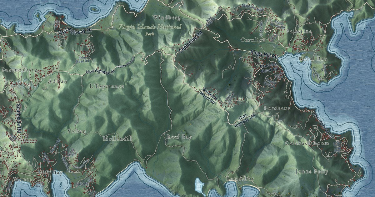
This beautifully detailed map of St. John, U.S. Virgin Islands was created in 2026 using aerial imagery combined with modern topographical, census, street and landmark data. It's a modern aerial view of the island of St. John, U.S. Virgin Islands, that combines modern data with a vintage aesthetic. The roads feature printed names, and if you look closely you can find your exact house accurately shown in its correct location.
Explore an aerial view of St. John, U.S. Virgin Islands
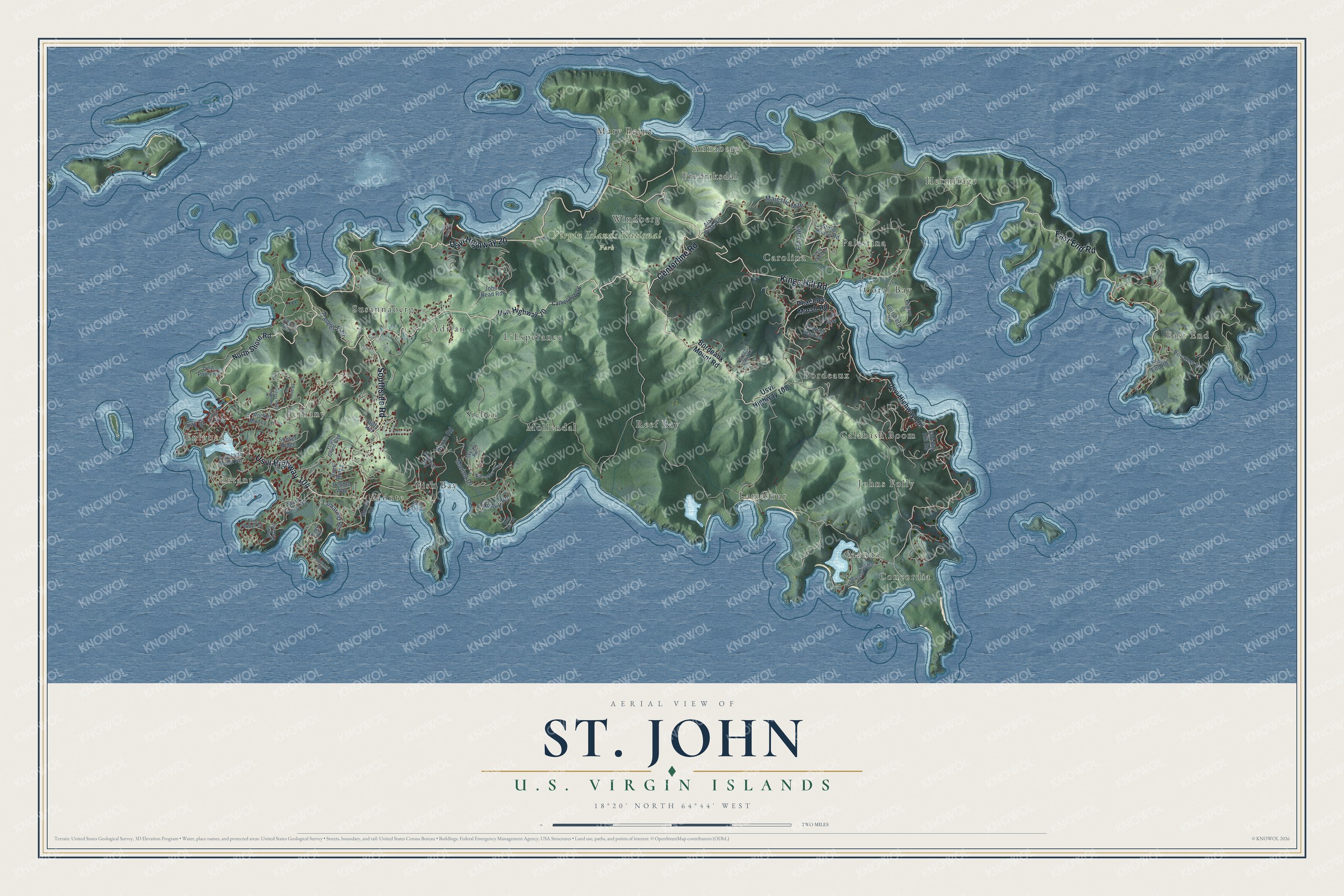
On this map you'll find Contant, Enighed, Bethany, East End, Virgin Islands National Park, Mandal, Coral Bay, Mollendal, Calabash Boom, Annaberg, Hermitage, Adrian, and more. Each red shape is a building, so zoom in on the preview and look for yours.
St. John is one of the three main islands of the U.S. Virgin Islands. The Census Bureau counted 3,881 people here in 2020. The map prints the island name in its title panel, with the coordinates below it.
Take a closer look at the St. John map
Names on this map
These names are printed on this map.
Places: Contant, Enighed, Bethany, East End, Virgin Islands National Park, Mandal, Coral Bay, Mollendal, Calabash Boom, Annaberg, Hermitage, Adrian, Bordeaux, Fish Bay, Reef Bay, Lameshur, Windberg, Monte, Johns Folly, Mary Point, L'Esperance, Carolina, Sieben, Palestina, Fredriksdal, Concordia and Susannaberg.
Streets and roads: Usvi Highway 20, Centerline Road, Usvi Highway 104, East End Road, Southside Road, Kings Hill Road, Tamarind Road, Bay Street, Marina Drive, Majestic Mile, Caneel Trail, Est 6 Road.
More street names, A to Z
Ajax Peak Road, Blue Water Road, Bordeaux Mount Road, Bovacap Road, Catherineberg, Cocoloba Trail, Constant Point Road, Fortsberg Road, Giffy Hill, Green Carib Lane, Harolds Way, Hawk Hill, Heron Road, Hilltop Road, John Head Road, Kathryn Drive, King Street, Klein Bay Road, Lind Point Road, Mandal Est Road, Maria Bluff Road, Mary Holter Road, Monte Road, North Shore Road, Old Big Hill Road, Pastory Road Extended, Peacelee Marsh Road, Pebble Way, Pelican Road, Peter Bay Road, Pocket Money Lane, Privateer Road, Reef Bay Road, Rock Ridge, Salomon Bay Road, Skytop Road, Stone House Road, Sugar Apple Road, Sunset Ridge, Tequila Sunrise, Un Road B1, Usvi Highway 10, Usvi Highway 107, Usvi Highway 108, Virgin Grand Boulevard.
See it on a wall
The St. John map as a framed print. Swipe for more.


Created by KNOWOL in 2026. The buildings are small red shapes, the roads carry their printed names, and shaded relief shows the shape of the land. The title panel reads "AERIAL VIEW OF ST. JOHN, U.S. VIRGIN ISLANDS" with 18°20' NORTH 64°44' WEST.
It looks right in a kitchen, an office or a den, and it's a gift for anyone who grew up in St. John or moved away. Open the preview and find your street. See sizes and frames for the St. John map.