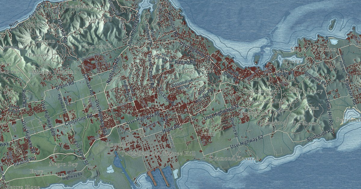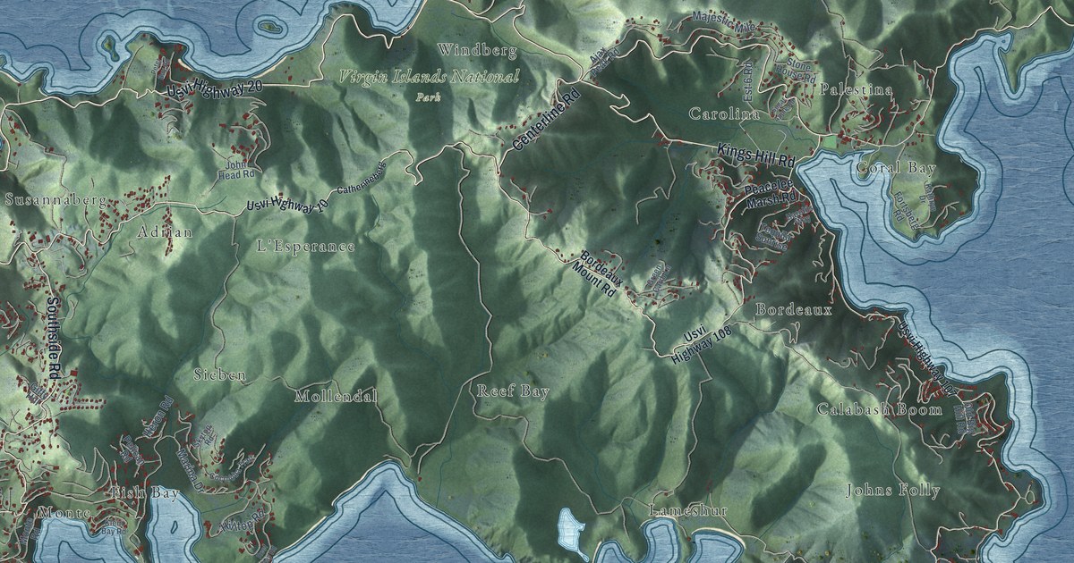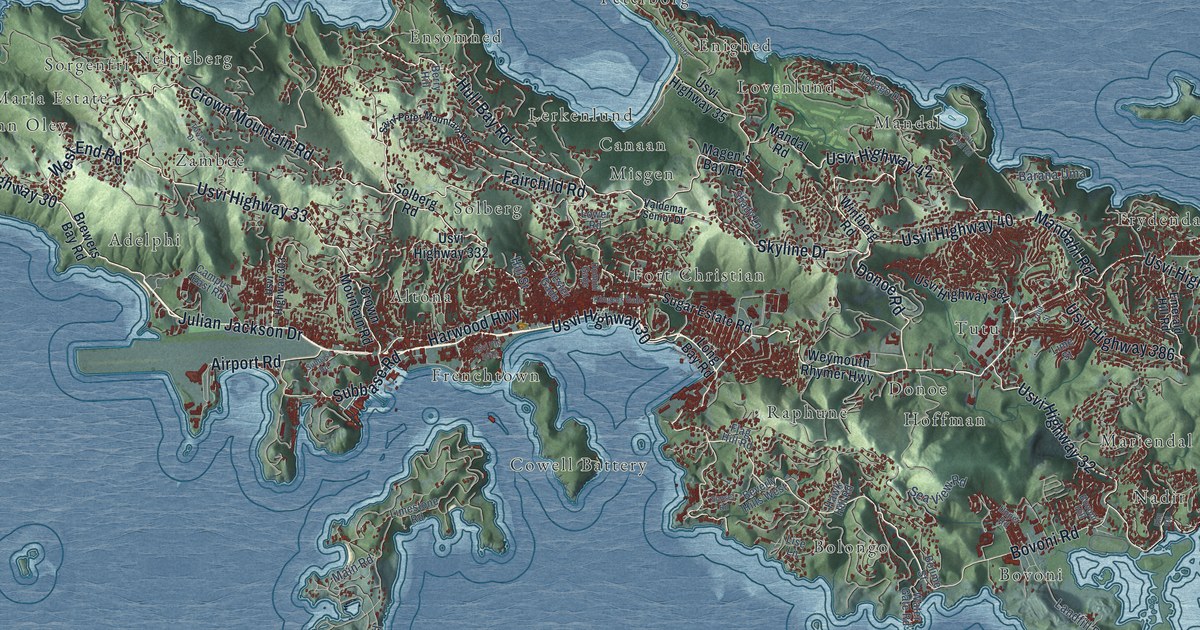
This beautifully detailed map of St. Thomas, U.S. Virgin Islands was created in 2026 using aerial imagery combined with modern topographical, census, street and landmark data. It's a modern aerial view of the island of St. Thomas, U.S. Virgin Islands, that combines modern data with a vintage aesthetic. The roads feature printed names, and if you look closely you can find your exact house accurately shown in its correct location.
Explore an aerial view of St. Thomas, U.S. Virgin Islands
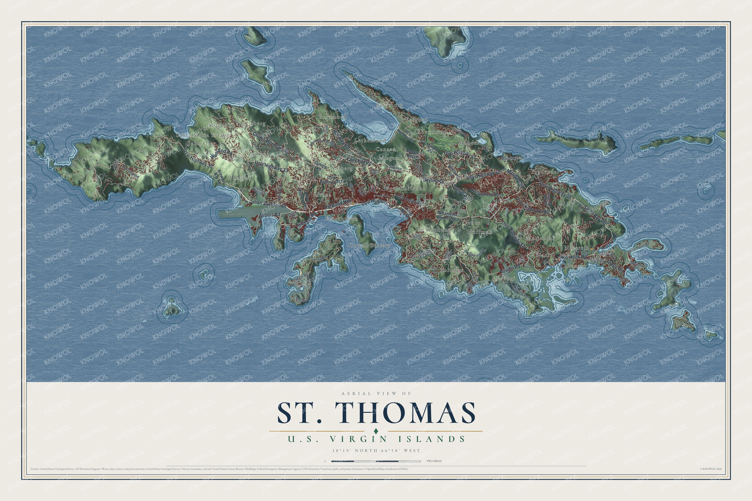
On this map you'll find Fort Christian, Nazareth, John Oley, Mandal, Bovoni, Peterborg, Frydendal, Donoe, Lerkenlund, Altona, Nadir, Cowell Battery, and more. Each red shape is a building, so zoom in on the preview and look for yours.
St. Thomas is one of the three main islands of the U.S. Virgin Islands. The Census Bureau counted 42,261 people here in 2020. The map prints the island name in its title panel, with the coordinates below it.
Take a closer look at the St. Thomas map
Names on this map
These names are printed on this map.
Places: Fort Christian, Nazareth, John Oley, Mandal, Bovoni, Peterborg, Frydendal, Donoe, Lerkenlund, Altona, Nadir, Cowell Battery, Sorgenfri, Adelphi, Ensomned, Tutu, Solberg, Zambee, Neltjeberg, Enighed, Lovenlund, Misgen, Benner, Frenchtown, Canaan, Mariendal, Bolongo, Raphune, Hoffman and Santa Maria Estate.
Streets and roads: Usvi Highway 30, Crown Mountain Road, West End Road, Subbase Road, Smith Bay Road, Skyline Drive, Hull Bay Road, Usvi Highway 38, Usvi Highway 40, Harwood Highway, Julian Jackson Drive, Red Hook Road.
More street names, A to Z
Airport Road, Barana Uma, Berry Hill, Beverly Hills West, Bolime Street, Bovoni Hill, Bovoni Road, Brewers Bay Road, Cabrita Point Road, Campus East Road, Deterberg, Diantilos, Domini Gade, Donoe Road, Elm Road, Emerald Hill Road, Fairchild Road, Flag Hill Road, Fort Hill Road, Fortuna Road, Hawk Hill Road, Hill Street, Kongens Gade, Landfill Road, Limestone Road, Lime Street, Lise Lane, Long Bay Road, Lower Road, Magen's Bay Road, Main Road, Mandahl Road, Mandal Road, Middle Road South, Pavilion Road, Peterborg Road, Ridge Road, Saint Peter Mountain Road, Salt Pond Road, Sea View Road, Shady Lane, Solberg Road, Sugar Estate Road, Sunset Road, Tobago Drive, Tower Drive, Trout Street, Upper Road, Usvi Highway 32, Usvi Highway 33, Usvi Highway 35, Usvi Highway 42, Usvi Highway 303, Usvi Highway 332, Usvi Highway 384, Usvi Highway 386, Usvi Route 3016, Valdemar Senior Drive, Vessup Lane, Vester Gade, Water Gate Road, Weymouth Rhymer Highway, Windward Way, Wintberg Road, Yacht Club Road.
See it on a wall
The St. Thomas map as a framed print. Swipe for more.


Created by KNOWOL in 2026. The buildings are small red shapes, the roads carry their printed names, and shaded relief shows the shape of the land. The title panel reads "AERIAL VIEW OF ST. THOMAS, U.S. VIRGIN ISLANDS" with 18°19' NORTH 64°58' WEST.
Hang it in the hallway, the office or the cabin, or give it to someone who left St. Thomas and still calls it home. Open the preview and look for a street you know. See sizes and frames for the St. Thomas map.