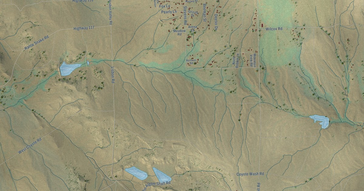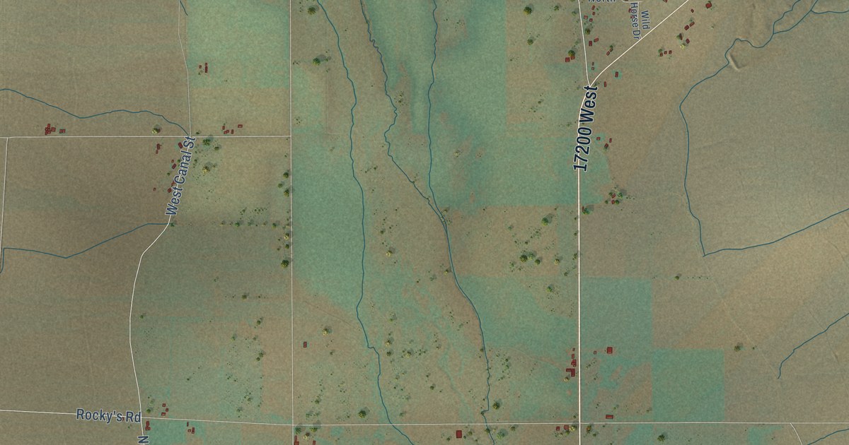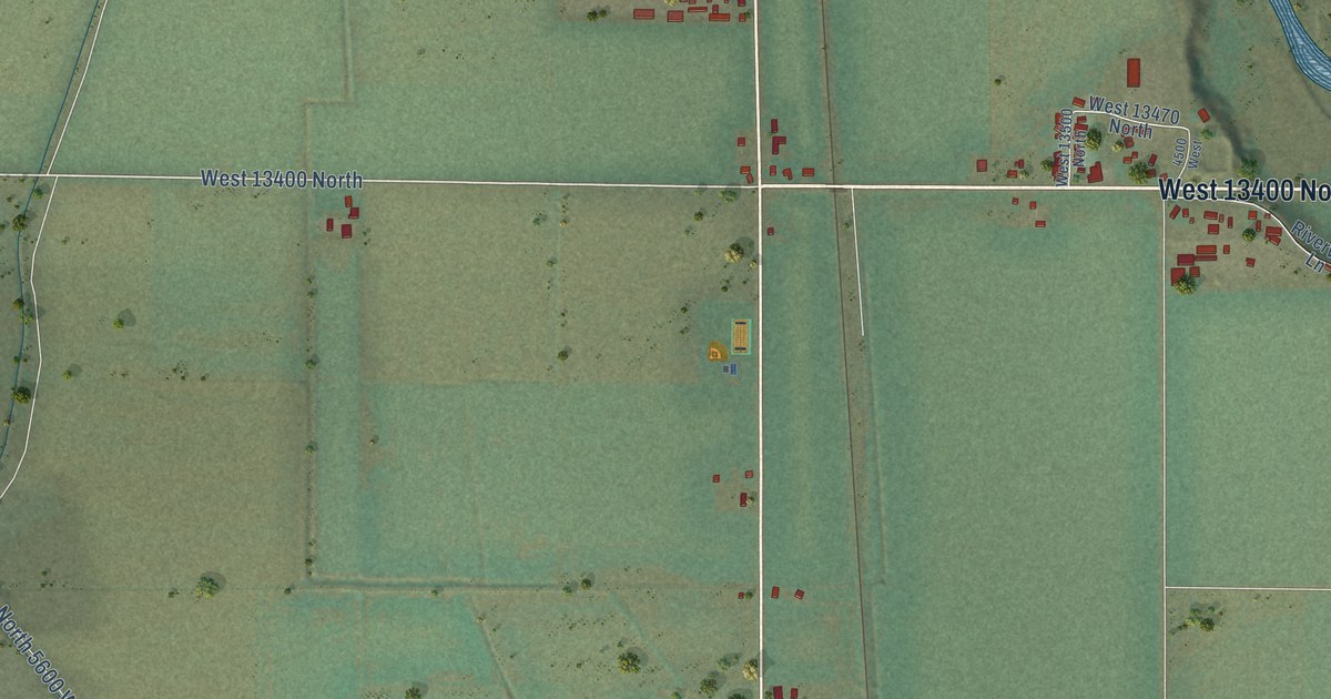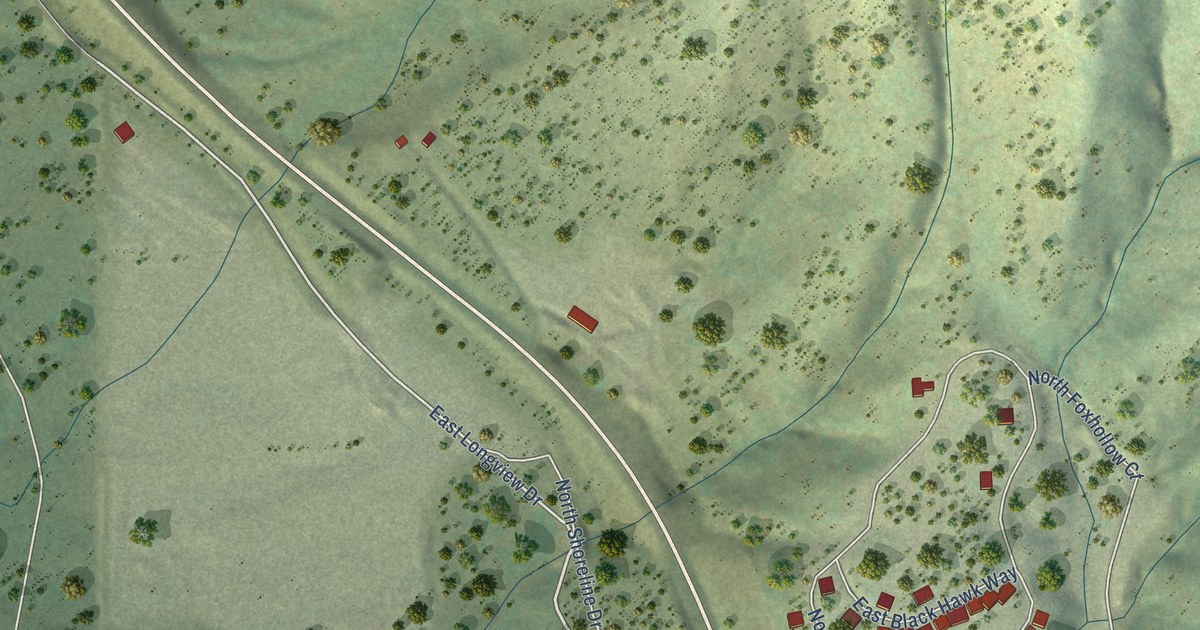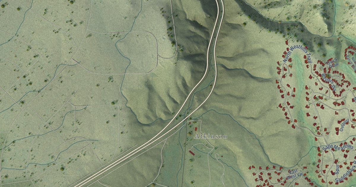
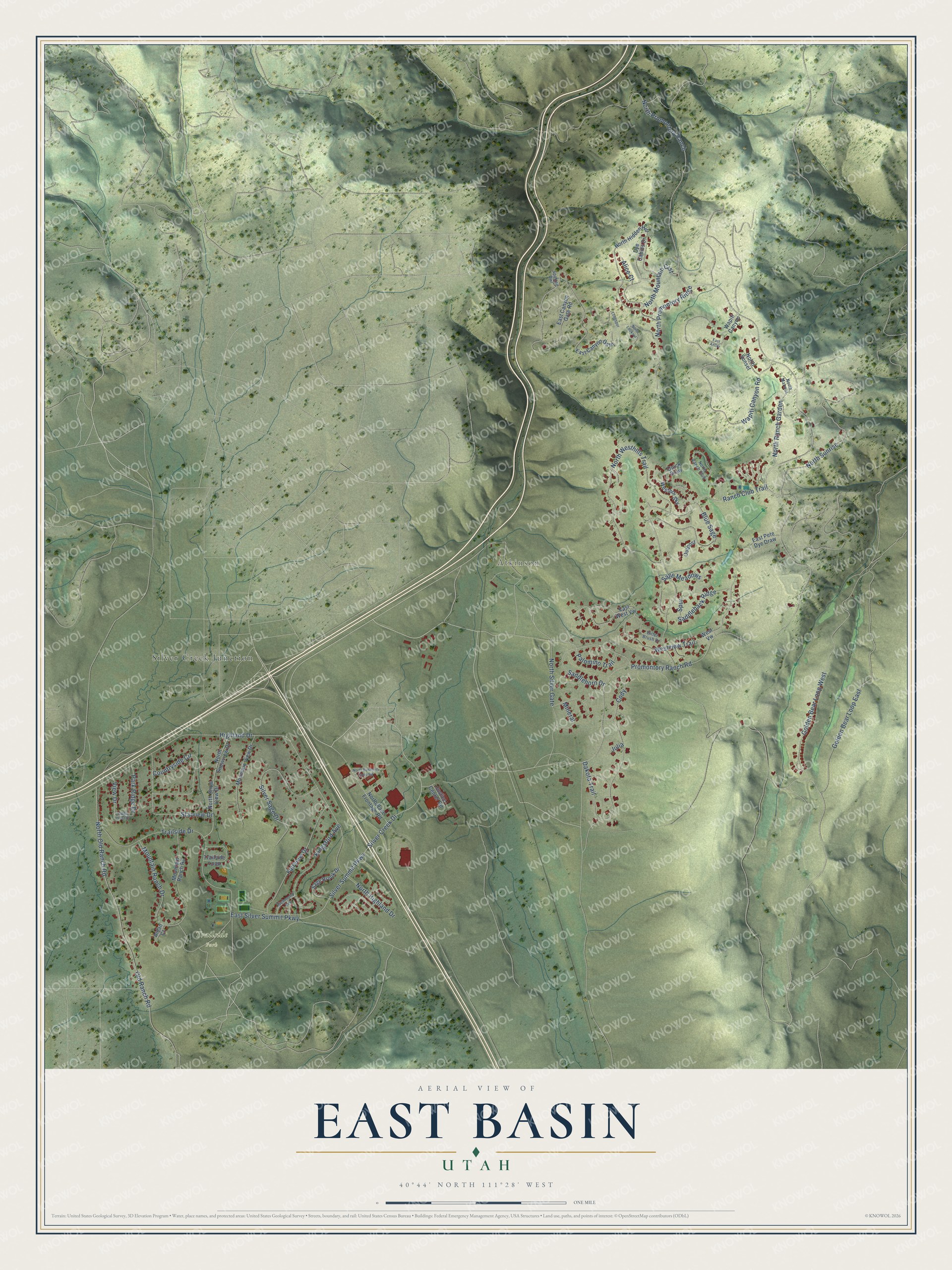
This beautifully detailed map of East Basin, Utah was created in 2026 using aerial imagery combined with modern topographical, census, street and landmark data. It's a modern aerial view of East Basin in Summit County, Utah, that combines modern data with a vintage aesthetic. The roads feature printed names, and if you look closely you can find your exact house accurately shown in its correct location.
Explore an aerial view of East Basin, Utah
On this map you'll find Atkinson, Trailside Park, Silver Creek Junction, Silver Creek Drive, Silver Summit Parkway, North Promontory Ranch, Promontory Ranch Road, Ranch Club Trail, Golden Bear Loop West, Wapiti Canyon Road, North Silver Gate, Highland Drive, and more. Each red shape is a building, so zoom in on the preview and look for yours.
Every town has a first chapter, and East Basin is no exception. The town of Atkinson was named for William Atkinson, one of its first homesteaders. When the Union Pacific Echo and Park City Line arrived in 1880, the railroad built a freight station and 26-pen stockyards, called the stop Atkinson, and livestock was driven there from as far as Heber. By 1915 the Big Four mill was running at Atkinson to recover valuable minerals from mine tailings along Silver Creek. The town grew overnight. That's from the Summit County Utah historic sites page.
East Basin is a community in Summit County. The Census Bureau counted 3,023 people here in 2020.
Take a closer look at the East Basin map
Names on this map
These names are printed on this map.
Places: Atkinson, Trailside Park and Silver Creek Junction.
Streets and roads: Silver Creek Drive, Silver Summit Parkway, North Promontory Ranch, Promontory Ranch Road, Ranch Club Trail, Golden Bear Loop West, Wapiti Canyon Road, North Silver Gate, Highland Drive, Westview Trail, North Sunrise, North Westhills Trail.
More street names, A to Z
Aidan Court, Alice Court, Bitter Brush Drive, Blue Sage, Cody, Countryside Circle, Dakota Trail, Dye Cabins Drive, East Antler, East Canyon Gate, East Canyon Gate Road, East Pete Dye Draw, East Silver Summit Parkway, East West Vw, Fairview Drive, Golden Bear Loop East, Julia, Justice Center Road, Kingsford Avenue, Longspur, Mineral, Mountain Ranch Drive, Mountain Ranch Road, Mountain View Drive, North Business Loop Road, North Hidden Hill, North Highland Drive, North Lookout, North Marmot, North Mountain Crst, North Old Ranch Road, North Pace Frontage Road, North Promontory Ridge, North Ranch Club, North Ranch Garden, North Snow View Drive, North Snowview Drive, North Sunset, Old Ranch Road, Outpost, Palomino Trail, Park Ridge Drive, Quick Draw, Richmond Avenue, Ridge Crest Drive, Saddleback Ridge, Saddlehorn Drive, Sage Brook Drive, Sage Meadows, Silver Sage Drive, Spotted Owl, Spur, Starview Drive, Trailside Drive, Trailside Loop, View Drive, Wapiti Canyon, Western Sky, West Vw.
See it on a wall
The East Basin map as a framed print. Swipe for more.


Created by KNOWOL in 2026. The buildings are small red shapes, the roads carry their printed names, and shaded relief shows the shape of the land. The title panel reads "AERIAL VIEW OF EAST BASIN, UTAH" with 40°44' NORTH 111°28' WEST.
Hang it in the hallway, the office or the cabin, or give it to someone who left East Basin and still calls it home. Open the preview and look for a street you know. See sizes and frames for the East Basin map.