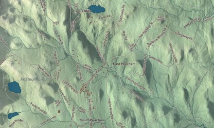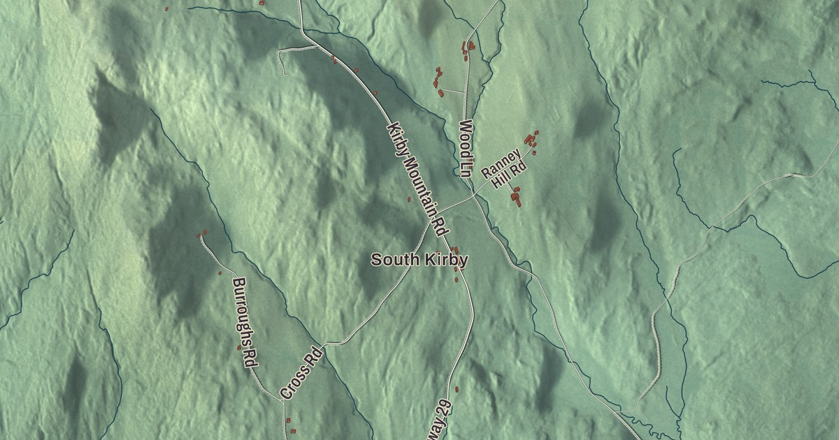
Kirby sits on the eastern edge of Caledonia County, with Kirby Mountain on its line with Victory. This map prints South Kirby and North Kirby, Kirby Pond and Johnson Pond, and the roads that connect them: Kirby Mountain Road, North Kirby Road, Town Hall Road, Cross Road, Ridge Road and Mud Hollow Road.
Kirby is a town in Caledonia County, Vermont.
KNOWOL made this map in 2026 from public survey data and gave it the look of an old county atlas, shading the hills from United States Geological Survey elevation data and drawing the roads and town line from the Census Bureau. Kirby covers 24.4 square miles, nearly all of it land, and its highest point is the 2,750-foot summit of Kirby Mountain. Click here to purchase a print of this map for your wall.
A grant instead of a salary
Kirby began as pay for a public servant. Roswell Hopkins, a Revolutionary War militia surgeon who had fought at Bennington and Saratoga, served as clerk of the Vermont House and then as Vermont’s secretary of state from 1788 to 1802. Instead of a salary in cash, he took a grant of more than 11,000 acres in Caledonia County, conveyed to him in 1790, and named it Hopkinsville. The Legislature’s town list records the charter on October 27, 1790. By the time the town organized on August 29, 1807, he had sold his interest and moved to New York, where he founded the town of Hopkinton.
When Kirby organized, a 2,500-acre piece of Burke was added, and on October 28, 1807, the town took the name Kirby. Several ideas have been offered for the name, and the town’s page says the most common idea is that it’s a form of the English Kirkby, meaning a settlement around a church. Theophilus Grout went to the legislature for Kirby in 1809, its first representative.
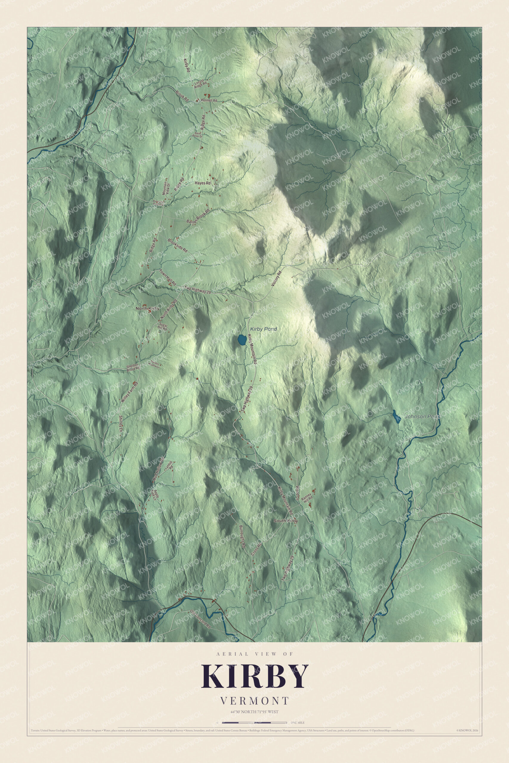
Click to explore a larger preview. The digital watermark does not appear on printed maps.
Names on this map
These names are printed on this map.
Places: South Kirby, North Kirby, Kirby Pond and Johnson Pond.
Streets and roads: Kirby Mountain Road, North Kirby Road, Town Hall Road, Cross Road, Twp Highway 29, Ridge Road, Mud Hollow Road, Victory Road, Wood Lane, Burroughs Road, Brookside Road, Willey Farm Road.
More street names, A to Z
Apple Tree Lane, Barnes Brook Road, Bennett Road, Brook Road, Burrington Bridge Road, Hayes Road, Kirby Road, Locust Ridge Road, Lynhill Road, Mountain View Drive, Old Concord Road, Ranney Hill Road, Saint Peter Drive, Sheldon Brook Road, Sheldon Meadow Lane, Shirley Lane, Sugar Hill Road.
See it on a wall
The Kirby map as a framed print. Swipe for more.


Kirby people
William W. Grout’s family moved to Kirby from Compton, Quebec, when he was a boy. He commanded a Vermont brigade raised for border defense after the St. Albans Raid in the Civil War and later served in Congress for most of the years from 1881 to 1901. Ephraim W. Harrington entered the Union Army from Kirby and won the Medal of Honor in Virginia on May 3, 1863, carrying the colors up the heights almost to the muzzles of the enemy’s guns. In more recent times John McClaughry, a writer and state legislator, served as Kirby’s town meeting moderator from 1967 and was the Republican candidate for governor in 1992.
U.S. Route 2 crosses the southern corner of town, linking St. Johnsbury to the west with Lancaster, New Hampshire, to the east. On the map, follow Kirby Mountain Road and North Kirby Road, then Town Hall Road, Cross Road, Ridge Road and Mud Hollow Road. South Kirby and North Kirby are printed, and so are Kirby Pond and Johnson Pond. Kirby dates to 1807.
This map of Kirby is made for everyone who calls Kirby home, and it shows the town as it looks today, from South Kirby to North Kirby. Hang it in an office, library or den, or use it to teach children the geography and history of their town. It’s printed on museum quality archival paper. Zoom in on the preview above to explore the details, then click here to get your copy of the Kirby, Vermont map.

Sources