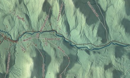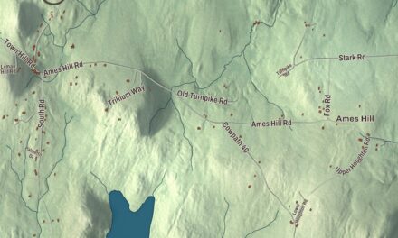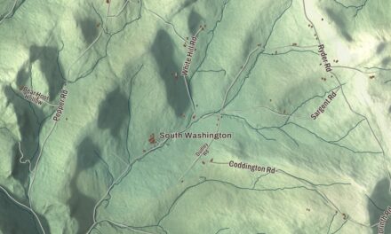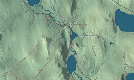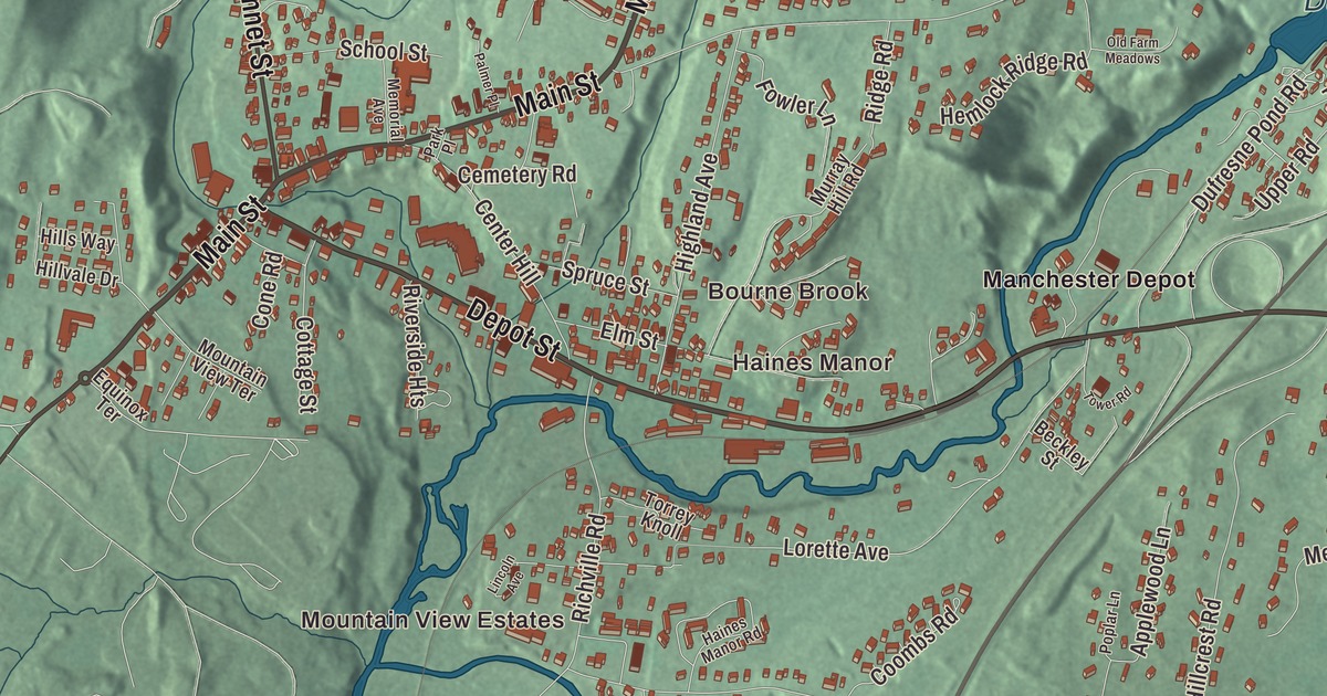
Manchester Center is where three state routes meet: Route 7A, Route 11 and Route 30 all come together in the middle of the village, where Main Street, Bonnet Street and Depot Street join. This map prints Main Street, Bonnet Street, Depot Street, Maple Street, Dufresne Pond Road and Nottingham Drive, with Manchester Depot, Barnumville, Haines Manor, Bourne Brook and Dufresne Pond.
Manchester Center is a community in Bennington County, Vermont.
KNOWOL made this map in 2026 from public survey data and gave it the look of an old county atlas, shading the hills from United States Geological Survey elevation data and drawing the roads and boundary line from the Census Bureau. Manchester Center is a census-designated place within the town of Manchester, covering 4.53 square miles in the northeast part of town, and the community has its own statistical boundary, which takes in Manchester Depot to the east and meets the incorporated village of Manchester to the southwest. In 2020, Manchester Center had 2,145 residents. Click here to purchase a print of this map for your wall.
The business village
In the 19th century Manchester Center grew past the older village of Manchester in economic importance. In the heart of its business district, on the south side of Main Street just east of the corner with Bonnet Street, stands the Wait Block, a three-story brick building trimmed in marble, built in the mid-1880s for Clark Wait, who owned the local drug store. A drug store filled its ground floor for the next century, with the owner’s living quarters above. The Wait Block came through the 1893 fire that destroyed many of the wooden buildings in the business district, and its page says no other building of its size was ever put up in the village afterward. The town’s page lists three state-recognized historic districts: the Depot district on Highland Avenue and Elm Street, Bonnet Street just north of Main Street, and Main Street itself.
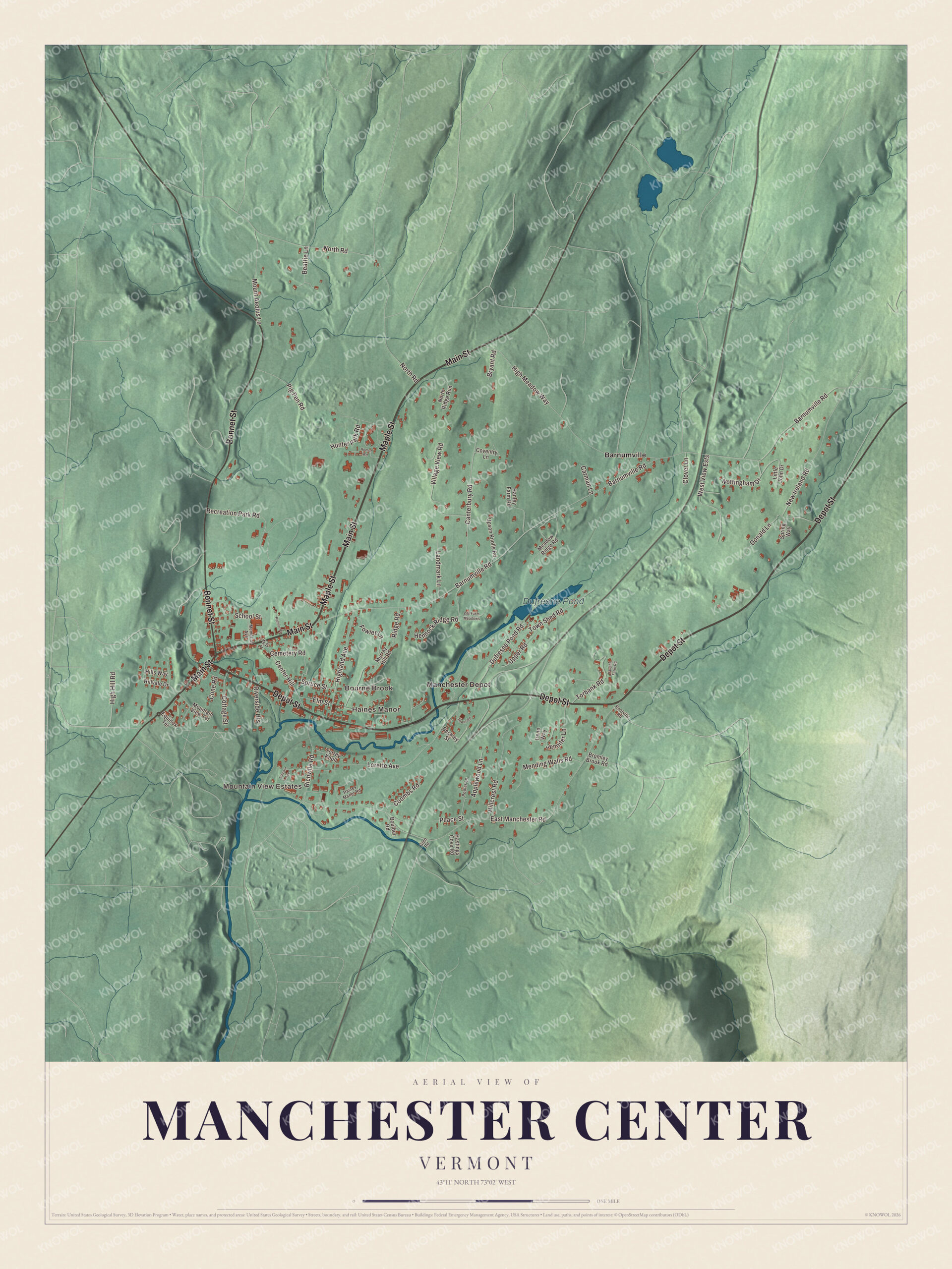
Click to explore a larger preview. The digital watermark does not appear on printed maps.
Names on this map
These names are printed on this map.
Places: Mountain View Estates, Bourne Brook, Haines Manor, Dufresne Pond, Barnumville and Manchester Depot.
Streets and roads: Main Street, Maple Street, Depot Street, Bonnet Street, Dufresne Pond Road, Nottingham Drive, Barnumville Road, East Manchester Road, North Road, High Meadow Way, New Ireland Road, Lorette Avenue.
More street names, A to Z
Applewood Lane, Beattie Lane, Beckley Street, Boulder Road, Bromley Brook Road, Bryant Road, Canterbury Road, Carman Lane, Cemetery Road, Center Hill, Clover Lane, Cone Road, Coombs Road, Cottage Street, Coventry Lane, Donald Lane, Elm Street, Equinox Terrace, Fowler Lane, Glen Road, Haines Manor Road, Hanley Farm Road, Hastings Cove Road, Hemlock Ridge Road, High Hill Road, Highland Avenue, Hillcrest Road, Hills Way, Hillvale Drive, Homer Road, Hunter Park Road, Irene Way, Jennifer Lane, Landmark Lane, Lincoln Avenue, Little John Drive, Meadow Ridge Road, Memorial Avenue, Mending Walls Road, Mount Aeolus Lane, Mountain View Terrace, Murray Hill Road, North Ridge Run, Old Farm Meadows, Palmer Place, Park Place, Peace Street, Pig Pen Road, Poplar Lane, Recreation Park Road, Richville Road, Ridge Road, Riverside Heights, Rootville Road, School Street, Spring Way, Spruce Street, Torbank Road, Torrey Knoll, Tower Road, Town Shed Road, Upper Road, Upson Knolls Road, Vaughn Farm Road, Village View Road, West View Ests.
See it on a wall
The Manchester Center map as a framed print. Swipe for more.


Where the roads meet
Vermont Route 7A runs through as Main Street, following the old line of U.S. Route 7. Route 30 comes in as Bonnet Street from Dorset and Pawlet to the northwest, and Route 11 begins as Depot Street at the junction of 7A and 30, then heads east over the Green Mountains toward Springfield, sharing the road with Route 30 up along Bromley Brook. The newer U.S. Route 7, a two-lane freeway, crosses the eastern part of the community with a single interchange for Routes 11 and 30. In 2012 the village put in traffic circles at two intersections to ease congestion, and at the one in Manchester Center, Route 30 turns northwest toward the Taconic Mountains.
The actor Treat Williams, who starred as Dr. Andy Brown on Everwood, lived in Manchester Center with his wife, the actress and producer Pam Van Sant. The town’s page spells Bourne Brook as Bourn Brook and lists it among the streams that drain Manchester, and the Batten Kill page counts it among that river’s tributaries.
On the map, follow Main Street, Bonnet Street and Depot Street out from the center, then try Maple Street, Dufresne Pond Road and Nottingham Drive. Manchester Depot, Barnumville and Haines Manor are printed, and so are Bourne Brook and Dufresne Pond.
This map of Manchester Center is made for everyone who calls Manchester Center home, and it shows the community as it looks today, from Main Street to Manchester Depot. Hang it in an office, library or den, or use it to teach children the geography and history of their community. It’s printed on museum quality archival paper. Zoom in on the preview above to explore the details, then click here to get your copy of the Manchester Center, Vermont map.

Sources