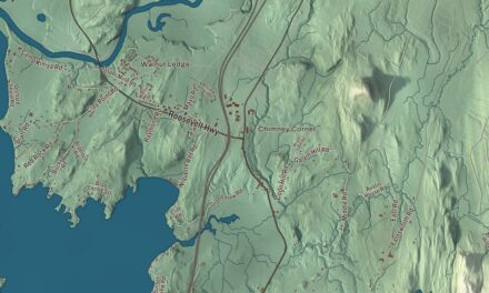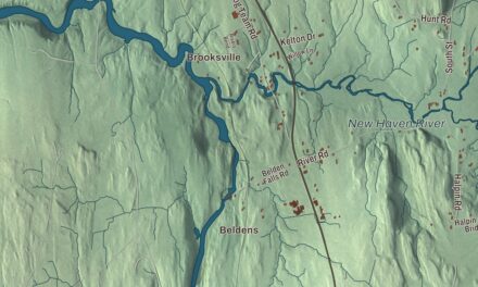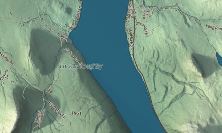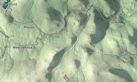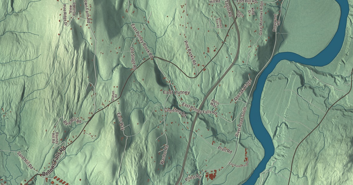
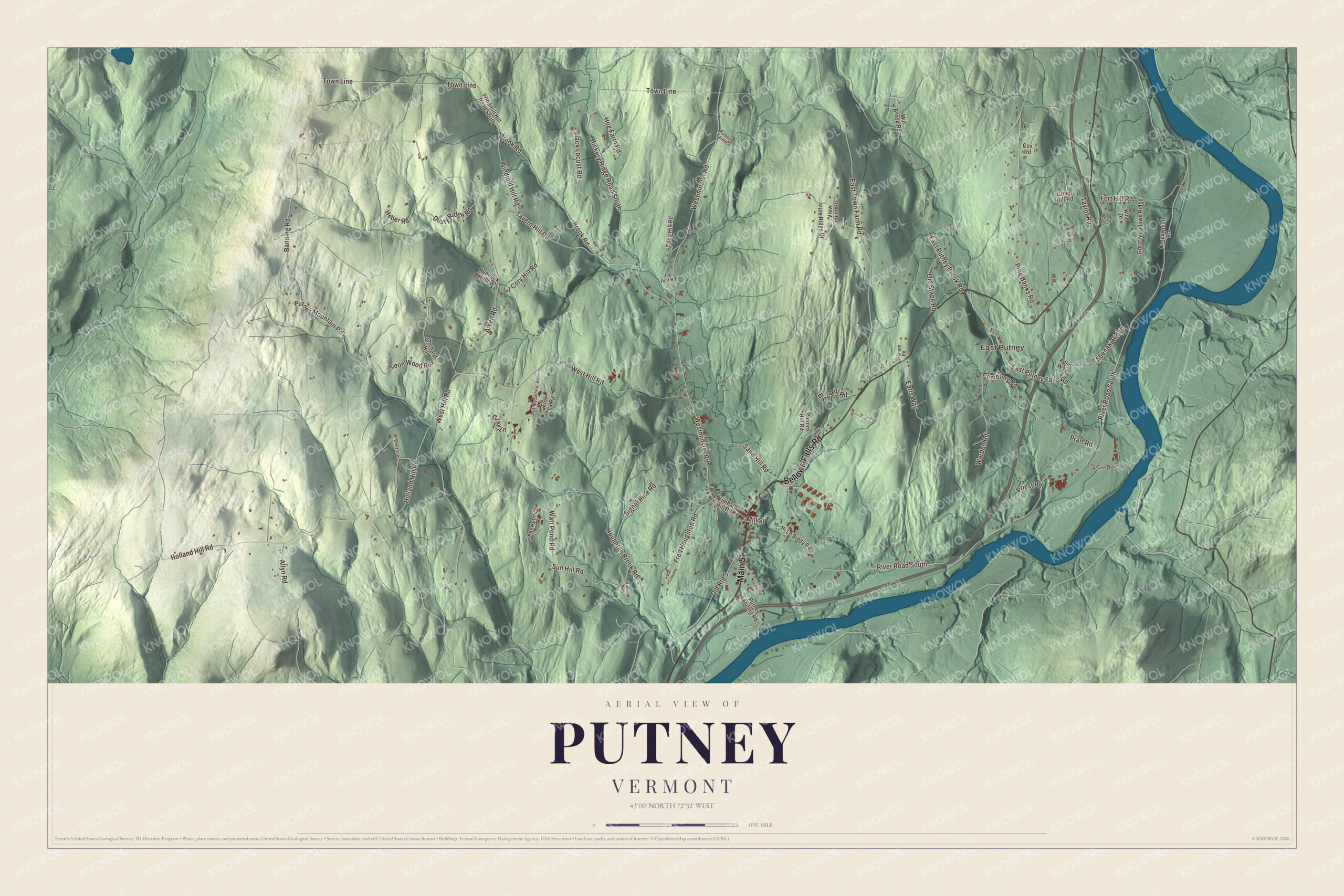
Putney village grew up where Sacketts Brook drops toward the Connecticut River, with Route 5 serving as its Main Street on the way between Brattleboro and Bellows Falls. This map prints Main Street, Westminster Road, Bellows Falls Road, Bare Hill Road, Dusty Ridge Road and East Town Farm Road, with East Putney out toward the river.
Putney is a town in Windham County, Vermont.
KNOWOL made this map in 2026 from public survey data and gave it the look of an old county atlas, shading the hills from United States Geological Survey elevation data and drawing the roads and town line from the Census Bureau. The town covers 26.8 square miles, and 2,617 people lived here at the 2020 census. Click here to purchase a print of this map for your wall.
A village on Sacketts Brook
On December 26, 1753, Colonel Josiah Willard led a petition of proprietors for a town in the Equivalent Lands, and Governor Benning Wentworth issued the Putney charter the same day. The grant was renewed in 1760 and 1761 and confirmed by New York in 1766, but real settlement waited until the French and Indian War was over. Putney organized on May 8, 1770, and Abner Miles represented it in the legislature in 1778. The town grew on a broad plain on the west side of the Connecticut River above the mouth of Sacketts Brook, where the brook drops 100 feet in a fifth of a mile; a falls there powered the first mills, and the main village formed around it. Because the town didn’t have abundant water power, it was largely bypassed by the Industrial Revolution of the mid-1800s and stayed rural.
The Putney Village Historic District, listed in 1986, follows Route 5, Kimball Hill and Westminster West Road through most of the village. Its houses are mostly Greek Revival, with some earlier Federal buildings and a few Queen Anne ones, and the Methodist and Congregational churches are both Greek Revival buildings of the 1840s; the town hall is Italianate. In the 1830s and 1840s the village was home to the Perfectionist community led by John Humphrey Noyes, which began as the Putney Bible School in 1836 and whose members later founded the Oneida Community in New York. North of the village, on Hickory Ridge Road South, the brick Theophilus Crawford House was built between 1807 and 1809 by a farmer and sawmill owner who sold dairy products in Boston; it was probably the first brick house in town.
Click to explore a larger preview. The digital watermark does not appear on printed maps.
Names on this map
These names are printed on this map.
Places: East Putney.
Streets and roads: Bellows Falls Road, Main Street, Bare Hill Road, Dusty Ridge Road, East Town Farm Road, Westminster Road, Watt Pond Road, Sun Hill Road, Taylor Road, River Road South, West Hill Road, Holland Hill Road.
More street names, A to Z
Abenaki Ridge, Aiken Road, Allyn Road, Aplin Way, Banning Road, Beam Road, Black Locust Road, Brook Road, Cemetery Road, Coop Hill Road, Cory Hill Road, Cox Road, Earls Way, East Putney Brook Road, East Putney Falls Road, East Putney Ferry Road, Elm Lea Road, Fort Hill Road, Fred Houghton Road, Graham Road, Gray Lane, Great Meadows Ridge, Green Hill Road, Greenwood Drive, Heller Road, Hemlock Hollow, Hickory Ridge Road South, Hillside Road, Hi Lo Biddy Road, Hog Farm Road, Houghton Brook Road, Joe Holt Road, Kimball Hill Road, King Drive, Leon Wood Road, Mill Brook Road, Mill Street, Mountain View Road, Old Depot Road, Old Route 5, Old Stage Road, Old Town Road, Ompawmet Road, Orchard Hill, Overhills, Pine Banks Road, Pine Ridge Drive, Pratt Road, Priest Road, Putney Landing Road, Putney Mountain Road, Putney School Road, Roberts Farm Lane, Rounds Hill Road, Sand Hill Road, Signal Pine Road, Tavern Hill Road, Town Line, View Point Road, Wardon Road, Windmill Hill Road, Windmill Hill Road South.
See it on a wall
The Putney map as a framed print. Swipe for more.


Stone bridges and fruit farms
James Otis Follett, a farmer and mason from Townshend, built seven bridges and culverts for Putney at a time when most new bridges were iron or steel. The first, the East Putney Brook Stone Arch Bridge of 1902, stands about 4 miles northeast of the village near River Road, a short way above where the brook reaches the Connecticut River. A few years later he built the granite arch over Sacketts Brook just east of the village, known locally as the Hi-Lo Biddy bridge. Both were listed on the National Register in 1976.
George Aiken came to Putney with his parents in 1893, when he was a small boy, and grew up on their fruit and vegetable farm. In 1912 he borrowed $100 to plant a patch of raspberries, and within five years his plantings had grown to five hundred acres with a nursery; for part of the 1910s he grew small fruits with George M. Darrow, who went on to develop twenty-eight strawberry varieties for the Department of Agriculture. Aiken served on Putney’s school board, became governor of Vermont from 1937 to 1941 and then served 34 years in the United States Senate. He lived in Putney until 1984 and is buried in the Mount Pleasant Cemetery here.
Schools on the hills
In 1935 Carmelita Hinton, who had worked at Hull House with Jane Addams, founded The Putney School on the ideas of progressive education and John Dewey. It sits on a 500-acre hilltop campus with a dairy farm, and its students work on the farm as part of their schooling. Landmark College opened in 1985 on the former campus of Windham College outside the village, after Putney selectman Peter Shumlin, later governor of Vermont, persuaded the authorities to let the Landmark School of Beverly, Massachusetts, start a college there. The college’s page calls it the first institution of higher learning to pioneer college-level studies for students with dyslexia.
On the map, start with East Putney, then follow Bellows Falls Road, Main Street, Bare Hill Road, Dusty Ridge Road, East Town Farm Road and Westminster Road across town; each of them is printed on the map. Putney Mountain, 1,657 feet, is the high point of the town. Putney dates to 1753.
This map of Putney is made for everyone who calls Putney home, and it shows the town as it looks today, from Main Street and Sacketts Brook out to East Putney. Hang it in an office, library or den, or use it to teach children the geography and history of their town. It’s printed on museum quality archival paper. Zoom in on the preview above to explore the details, then click here to get your copy of the Putney, Vermont map.

Sources
- Putney, Vermont, Wikipedia
- Town histories and representatives, P towns, Vermont Legislature
- Putney (CDP), Vermont, Wikipedia
- Putney Village Historic District, Wikipedia
- John Humphrey Noyes, Wikipedia
- Theophilus Crawford House, Wikipedia
- East Putney Brook Stone Arch Bridge, Wikipedia
- Sacketts Brook Stone Arch Bridge, Wikipedia
- George Aiken, Wikipedia
- George M. Darrow, Wikipedia
- The Putney School, Wikipedia
- Carmelita Hinton, Wikipedia
- Landmark College, Wikipedia
- Windham College, Wikipedia