A Christmas gift for anyone from Chain O' Lakes
This map as a print from $39.99, or framed from $79.99, with free U.S. shipping. Order by December 10 to have it by Christmas.
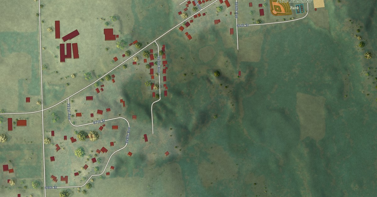
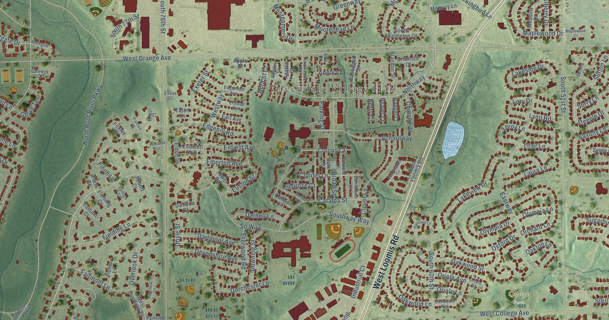
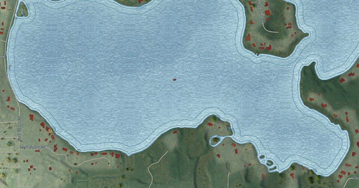
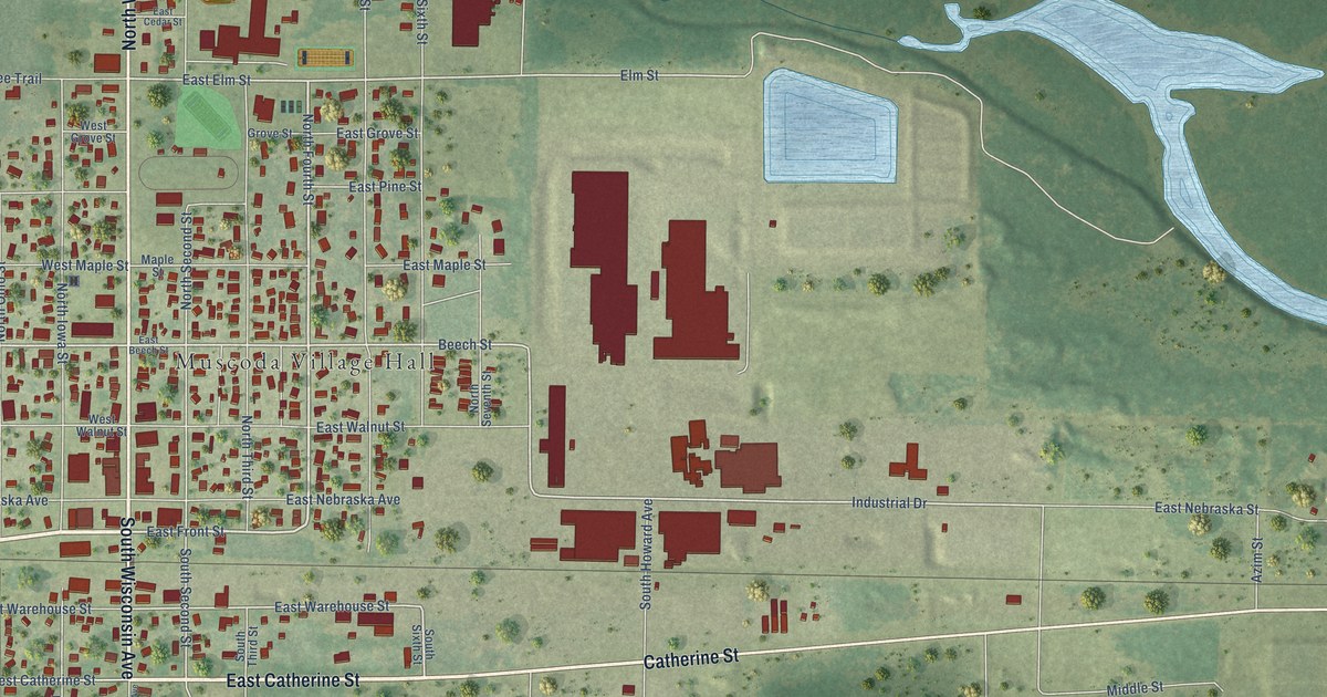
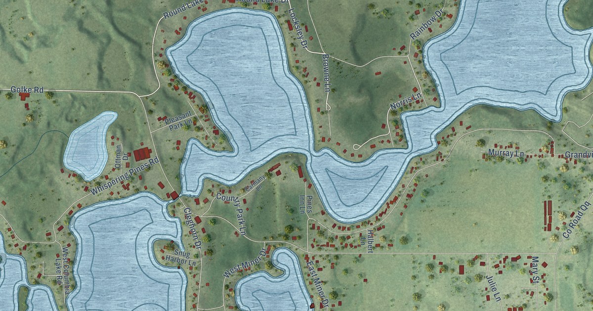
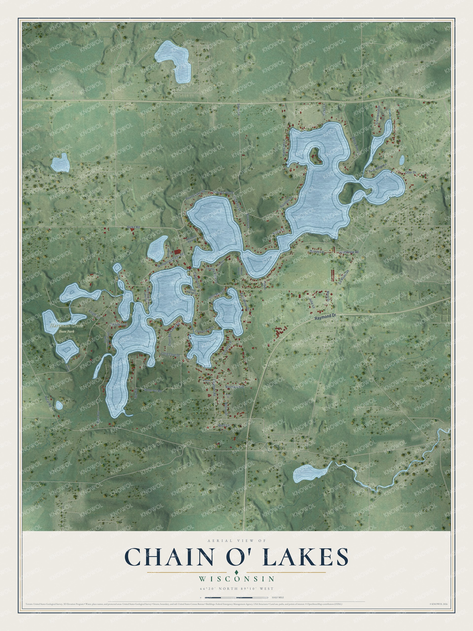
See the Chain O' Lakes printThis beautifully detailed map of Chain O' Lakes, Wisconsin was created in 2026 using aerial imagery combined with modern topographical, census, street and landmark data. It’s a one-of-a-kind view of Chain O’ Lakes that combines accurate data with a vintage aesthetic. The map shows every building in its true location, many of the roads carry their names, and the shaded topographic relief shows the shape of the land.
Explore an aerial view of Chain O' Lakes, Wisconsin
On the map you’ll find Hartman Creek State Park, along with Raymond Drive, Golke Road, Round Lake Drive, Norris Lane, Locksley Drive, Browne Lane, Cleghorn Road, Birchwood Drive, Rural Road, Whispering Pines Road, Grandview Road, and more. If you look closely you can even find your house accurately drawn in its correct location. Zoom in on the preview to look for yours.
Did You Know?
In 1882 a newspaper wrote about more than a dozen spring-fed lakes near Waupaca, all joined by natural channels. Two years before, few visitors from outside had known them. By then people were calling them the Chain o' Lakes, and the water was so clear that objects showed on the bottom 80 feet down. That's from the Waupaca Historical Society.
Take a closer look at the Chain O' Lakes map
Names on this map
These names are printed on this map.
Places: Hartman Creek State Park.
Streets and roads: Raymond Drive, Golke Road, Round Lake Drive, Norris Lane, Locksley Drive, Browne Lane, Cleghorn Road, Birchwood Drive, Rural Road, Whispering Pines Road, Grandview Road, Smith Lane.
More street names, A to Z
Alp Road, Butternut Road, Camp Road, Carmany Lane, Channel Park Drive, Cleghorn Drive, Country Lane, Country Park Lane, County Road Qq, Court Road, Crestwood Drive, East Miner Drive, Fern Avenue, Halbert Lane, Hicks Lane, Highland Lane, Julie Lane, Knight Lane, Long Cove Drive, Marl Lake Road, Mary Street, Mertl Lane, Murray Lane, Otter Drive, Ottman Drive, Pine Ridge Lane, Pines Inn Lane, Pineview Lane, Pleasant Park Lane, Rainbow Drive, Round Lake Road, Snug Harbor Lane, South Tammy Trail, Tammy Trail, West Columbia Lake Road, West Miner Drive, White Pine Lane, Wilson Drive, Wood Street.
See it on a wall
The Chain O' Lakes map as a framed print. Swipe for more.


This beautifully detailed map of Chain O’ Lakes makes an attractive addition to your office, library, or den, and it can even be used to teach children the geography and history of the area. It also makes a great gift for anyone who grew up in Chain O’ Lakes or moved away. When you’re done exploring, click here to get your copy of the Chain O’ Lakes map.