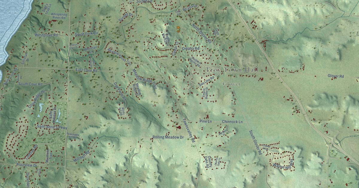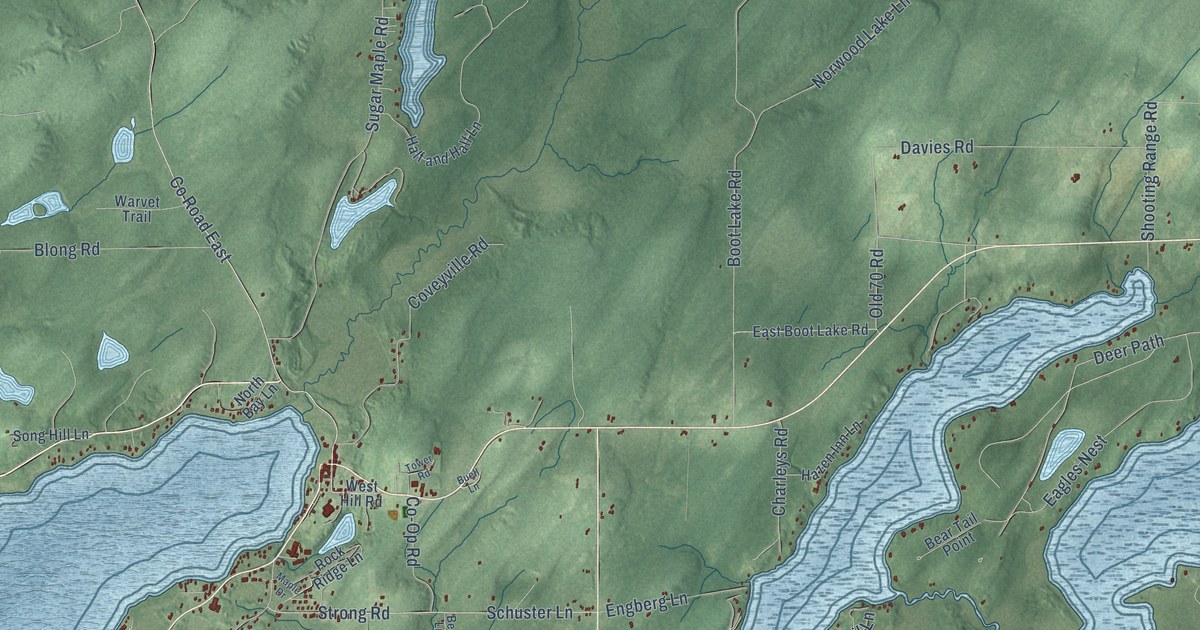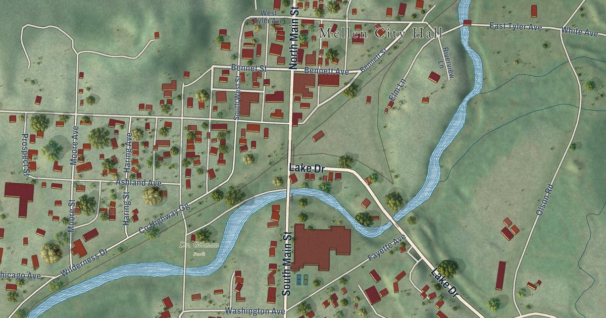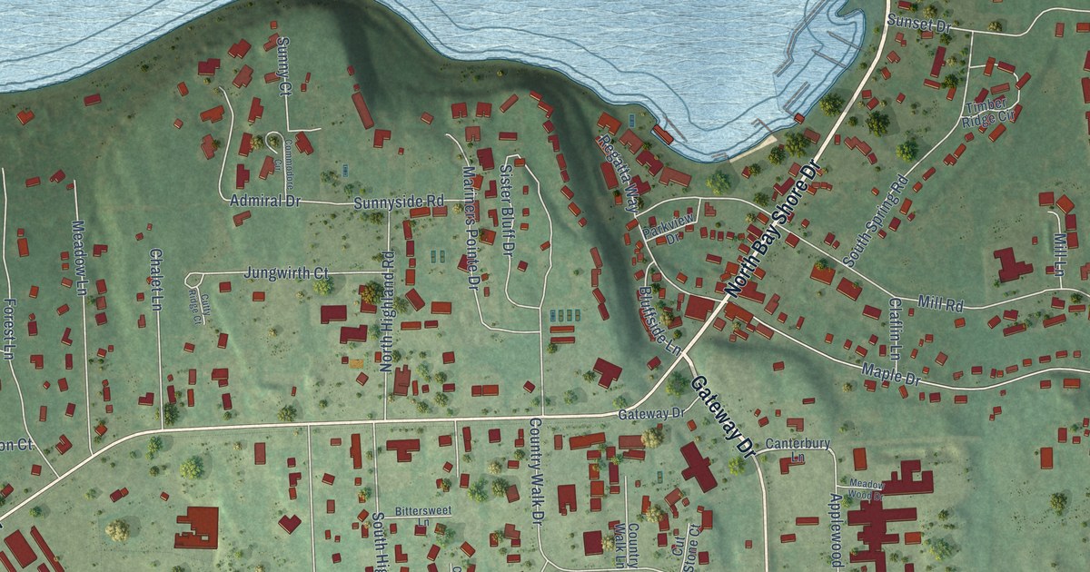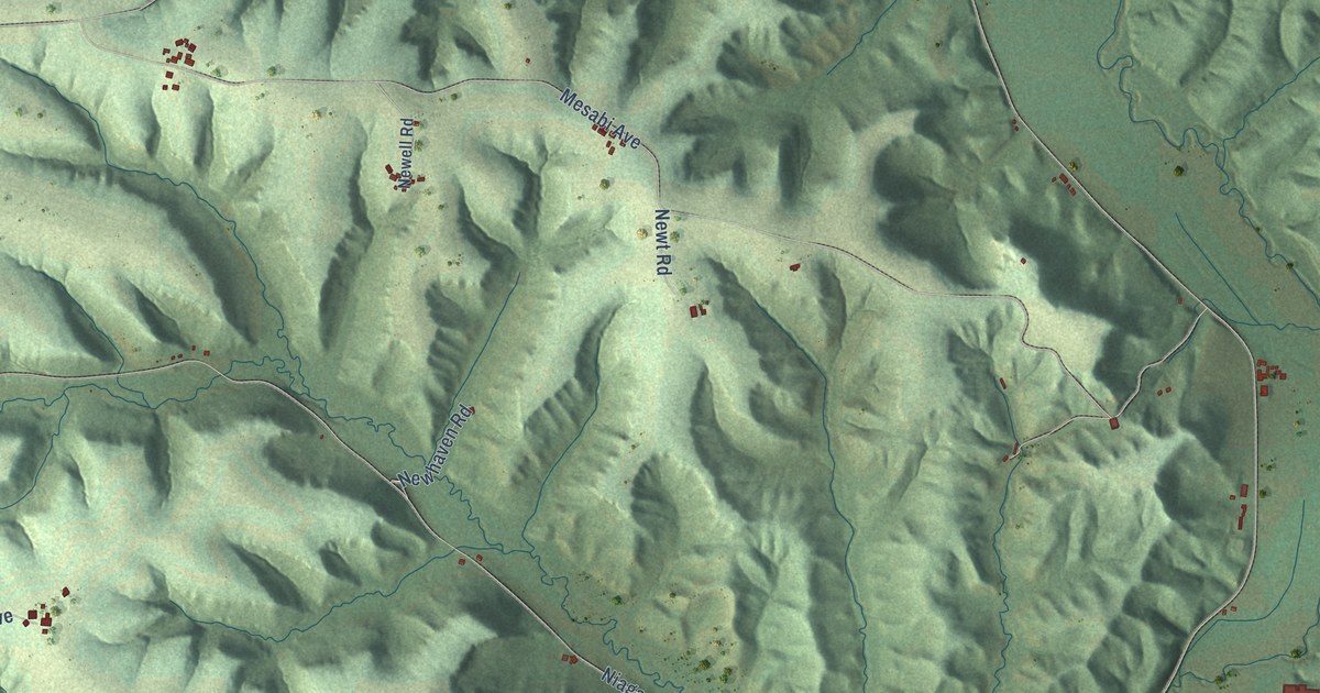
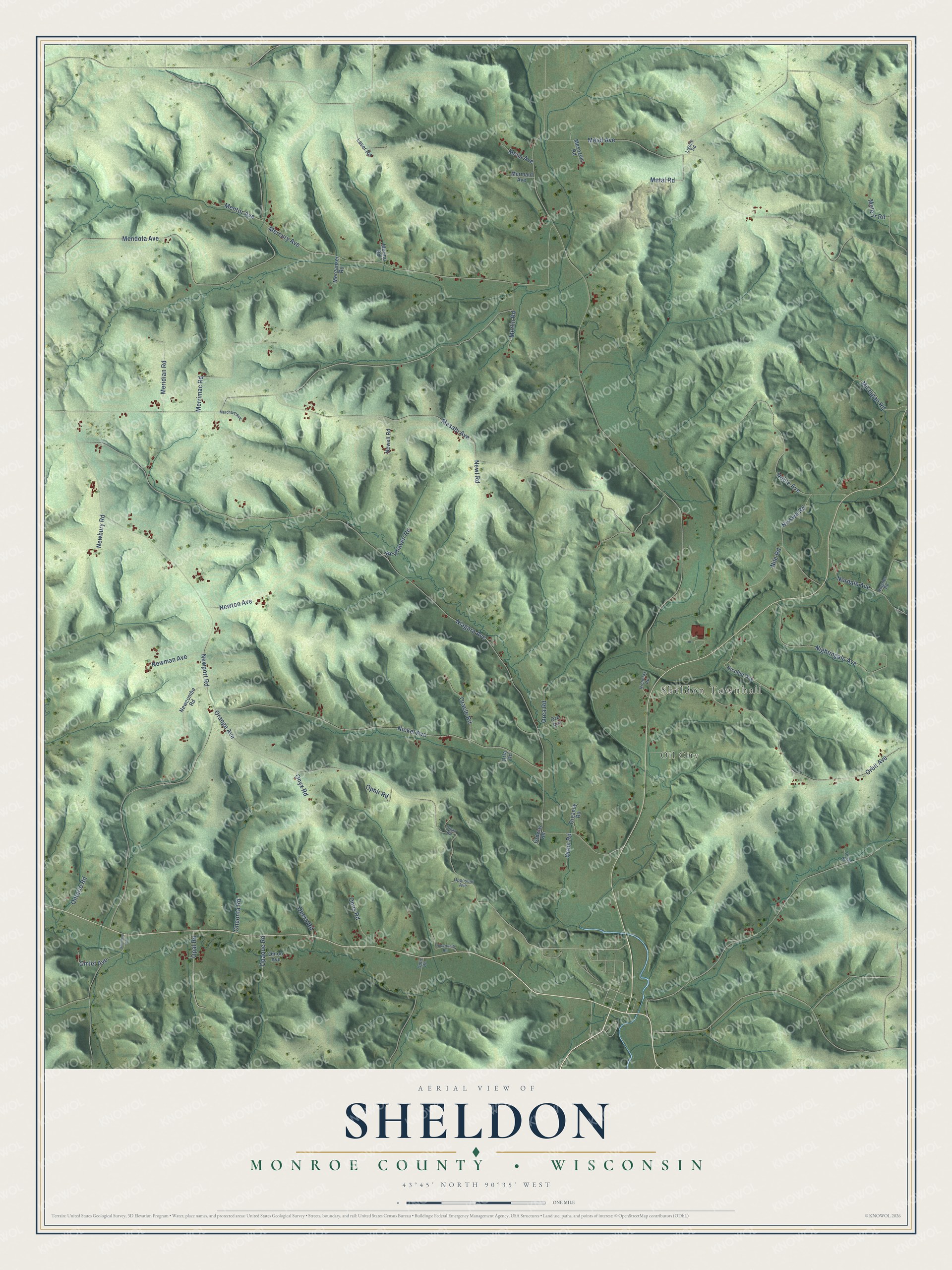
This beautifully detailed map of Sheldon, Wisconsin was created in 2026 using aerial imagery combined with modern topographical, census, street and landmark data. It's a modern aerial view of Sheldon in Monroe County, Wisconsin, that combines modern data with a vintage aesthetic. The roads feature printed names, and if you look closely you can find your exact house accurately shown in its correct location.
Explore an aerial view of Sheldon, Wisconsin
On this map you'll find Sheldon Townhall, Oil City, Omlet Avenue, Niagara Avenue, Newport Road, Mesabi Avenue, Orange Avenue, Mead Avenue, Mercury Avenue, Nickel Avenue, Mendota Avenue, Orbit Avenue, and more. Each red shape is a building, so zoom in on the preview and look for yours.
Here is a piece of Sheldon history, in the words of the record. The Internet Archive puts it this way: "Esau Johnson was the
first settler in this town, having come in the year 1846, and was
also the first man to settle in the county of Monroe."
Sheldon is a town in Monroe County. The Census Bureau counted 649 people here in 2020.
Take a closer look at the Sheldon map
Names on this map
These names are printed on this map.
Places: Sheldon Townhall and Oil City.
Streets and roads: Omlet Avenue, Niagara Avenue, Newport Road, Mesabi Avenue, Orange Avenue, Mead Avenue, Mercury Avenue, Nickel Avenue, Mendota Avenue, Orbit Avenue, Nightingale Avenue, Noble Avenue.
More street names, A to Z
Laser Road, Lignite Road, Mentor Avenue, Merchant Avenue, Merganser Road, Meridian Road, Merino Road, Merlin Road, Mermaid Avenue, Merrimac Road, Mesa Avenue, Mesozoic Road, Metal Road, Meteor Road, Michigan Road, Newbury Road, Newcombe Road, Newell Road, Newhaven Road, Newman Avenue, Newton Avenue, Newt Road, Nicholas Road, Nicollet Avenue, Nile Road, Nisswa Road, Nogales Road, Nordale Avenue, Omnibus Road, Oneonta Road, Onion Avenue, Ontario Road, Onyx Road, Opal Road, Opaque Road, Opera Road, Ophir Road, Opportunity Road, Opposum Avenue, Optic Road, Opus Road, Oracle Road, Orca Road, Ordway Road, Ore Avenue, Orem Road, Organdy Road, Organ Road, Orient Road, Orla Road.
Created by KNOWOL in 2026. The buildings are small red shapes, the roads carry their printed names, and shaded relief shows the shape of the land. The title panel reads "AERIAL VIEW OF SHELDON, MONROE COUNTY • WISCONSIN" with 43°45' NORTH 90°35' WEST.
It suits a den, a classroom or a front hall, and it makes a gift for anyone with Sheldon roots. Open the preview and find the block you know. See sizes and frames for the Sheldon, Monroe County map.