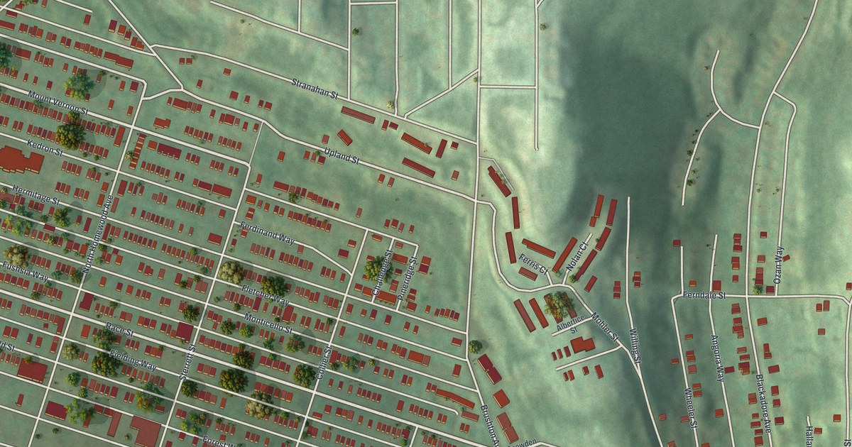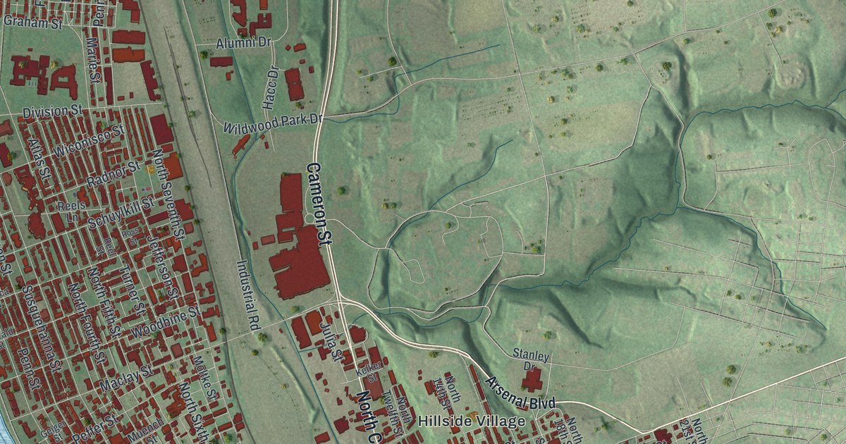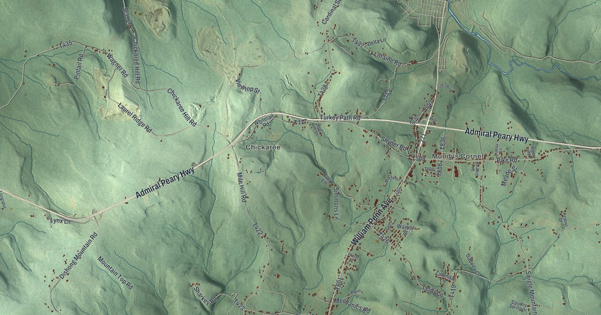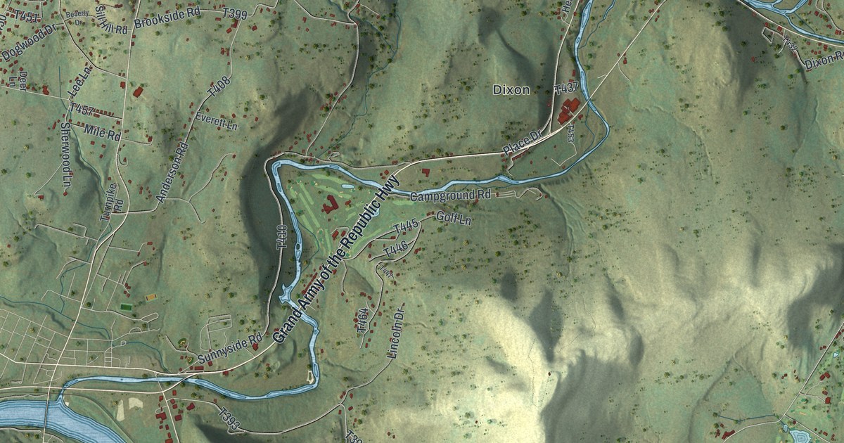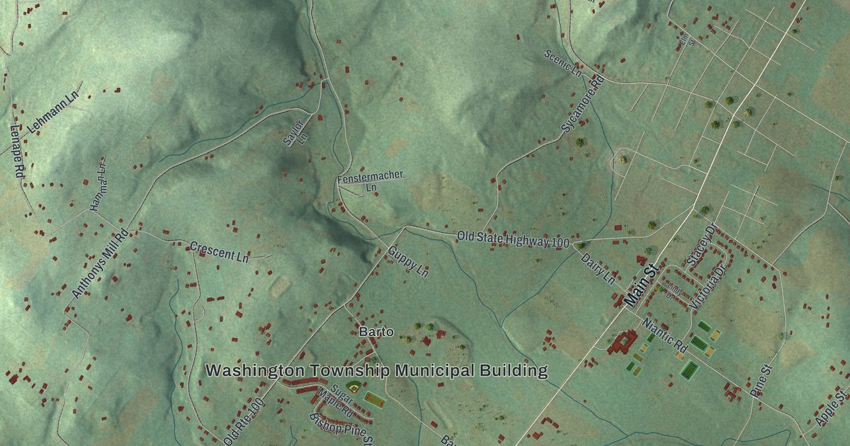
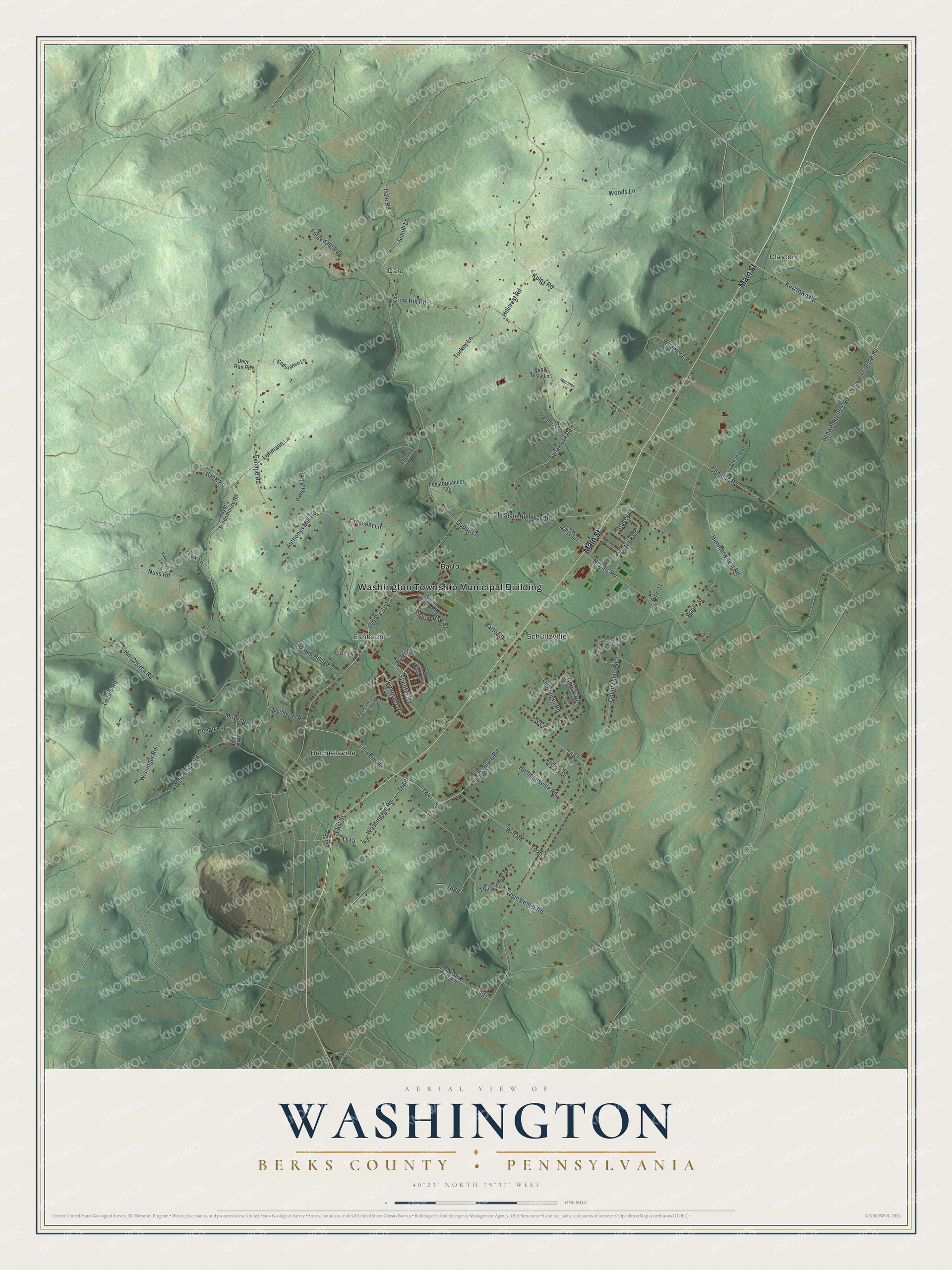
This beautifully detailed map of Washington, Berks County, Pennsylvania was created in 2026 using aerial imagery combined with modern topographical, census, street and landmark data. It's a modern aerial view of Washington, Berks County in Berks County, Pennsylvania, that combines modern data with a vintage aesthetic. The roads feature printed names, and if you look closely you can find your exact house accurately shown in its correct location.
Explore an aerial view of Washington, Berks County, Pennsylvania
On this map you'll find Washington Township Municipal Building, Dale, Barto, Bechtelsville, Clayton, Eshbach, Schultzville, Main Street, Old State Highway 100, Kutztown Road, Limekiln Road, Passmore Road, and more. Each red shape is a building, so zoom in on the preview and look for yours.
Washington, Berks County has a story worth telling. The LivingPlaces puts it this way: "These include: Borneman Mill, ca. 1810/1850, listed 1990; this is a rare remaining example with a multi-purpose structure designed to provide services only for the farm on which it was located, therefore referred to as a 'farm mill'."
Washington, Berks County is a place in Berks County. The Census Bureau counted 4,443 people here in 2020.
Take a closer look at the Washington, Berks County map
Names on this map
These names are printed on this map.
Places: Washington Township Municipal Building, Dale, Barto, Bechtelsville, Clayton, Eshbach and Schultzville.
Streets and roads: Main Street, Old State Highway 100, Kutztown Road, Limekiln Road, Old Route 100, Passmore Road, Gehman Road, Pine Street, Kulps Road, Hoffmansville Road, Niantic Road, County Line Road.
More street names, A to Z
Anthonys Mill Road, Apple Street, Audrey Drive, Back Country Road, Bales Lane, Barto Road, Belle Vista Lane, Bishop Pine Street, Christi Drive, Cormorant Drive, Crescent Lane, Crow Hill Road, Cubbler Court, Dairy Lane, Dale Road, Deer Run Road, Dengler Lane, Eagles Watch Drive South, Eagles Watch North, Ehst Street, Elm Street, Endurance Lane, Fenstermacher Lane, Forgedale Road, Fox Lane, Fry Road, Gehringer Road, Groff Road, Guppy Lane, Hamman Lane, Heydt's Schoolhouse Road, Hill Church Road, Hillcrest Road, Himmerwright Road, Joy Circle, Lane Road, Lehmann Lane, Lenape Road, Lindy Drive, Locust Road, Melcher Lane, Mill Street, Moyer Road, Nell Lane, Nuss Road, Oberholtzer Road, Robin Hill Road, Saylor Lane, Scenic Lane, Schantz Lane, Scholl Lane, Schultz Lane, Schwenkenfelder Road, Schwenkfelder Road, Stacey Drive, Stauffer Road, Sugar Maple Road, Sycamore Road, Township Line Road, Turkey Lane, Victoria Drive, Vineyard Lane, Washington Road, Weinsteiger Road, Weisstown Road, Wheeler Lane, Wilt Road, Wissinger Road, Woods Lane.
Created by KNOWOL in 2026. The buildings are small red shapes, the roads carry their printed names, and shaded relief shows the shape of the land. The title panel reads "AERIAL VIEW OF WASHINGTON BERKS COUNTY • PENNSYLVANIA" with 4, 0, °, 2, 3, ', , N, O, R, T, H, , 7, 5, °, 3, 7, ', , W, E, S, T.
It looks right in a kitchen, an office or a den, and it's a gift for anyone who grew up in Washington, Berks County or moved away. Open the preview and find your street. See sizes and frames for the Washington, Berks County map.