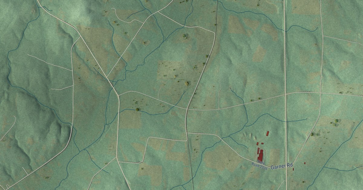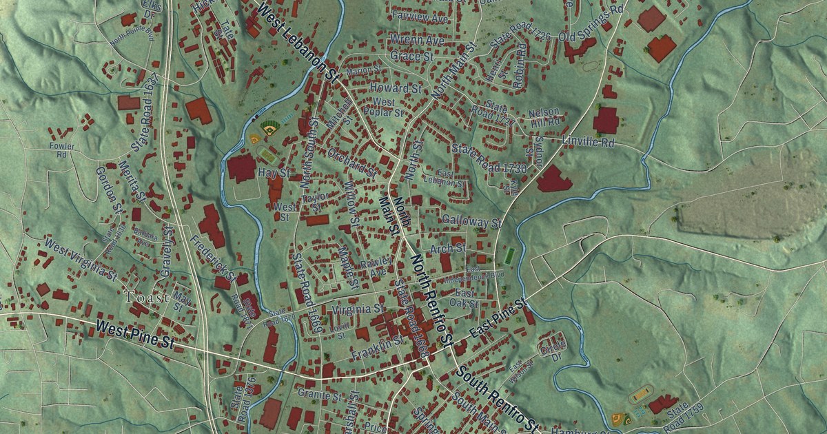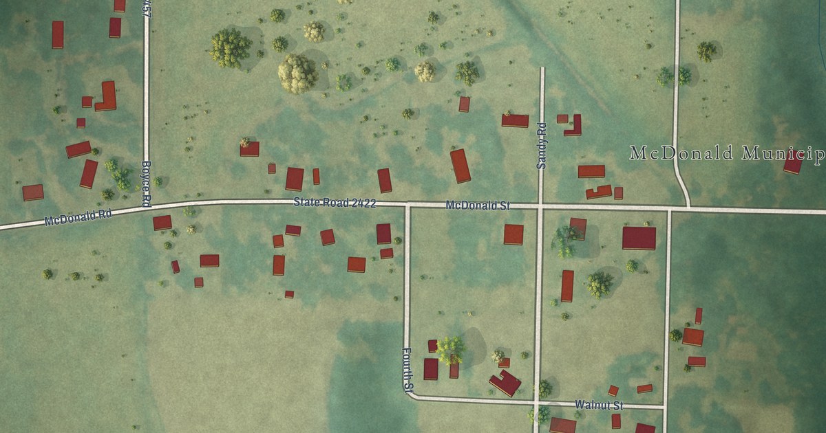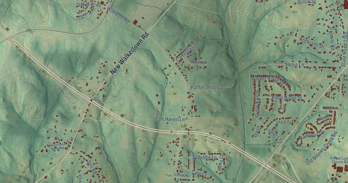
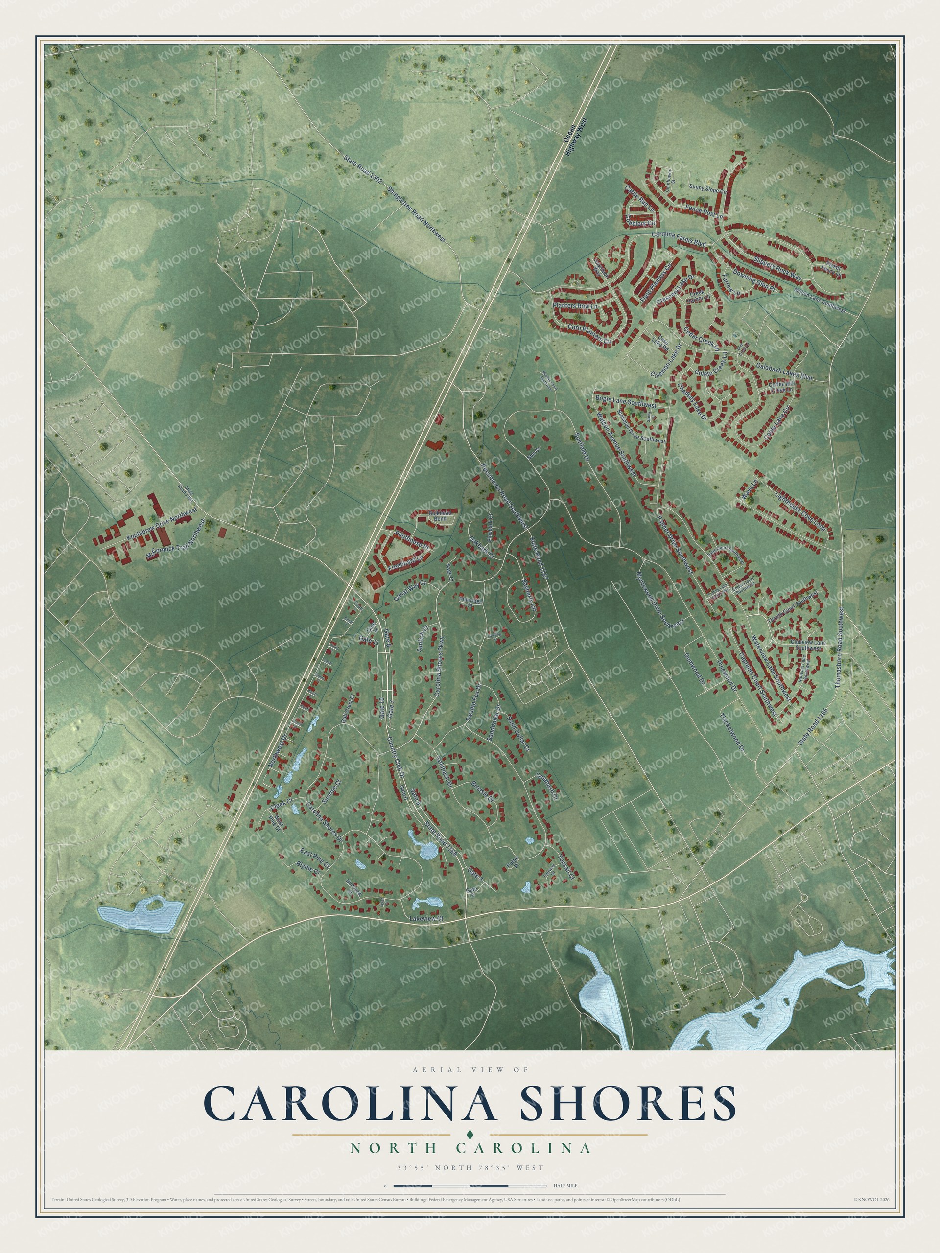
This beautifully detailed map of Carolina Shores, North Carolina was created in 2026 using aerial imagery combined with modern topographical, census, street and landmark data. It's a modern aerial view of Carolina Shores in Brunswick County, North Carolina, that combines modern data with a vintage aesthetic. The roads feature printed names, and if you look closely you can find your exact house accurately shown in its correct location.
Explore an aerial view of Carolina Shores, North Carolina
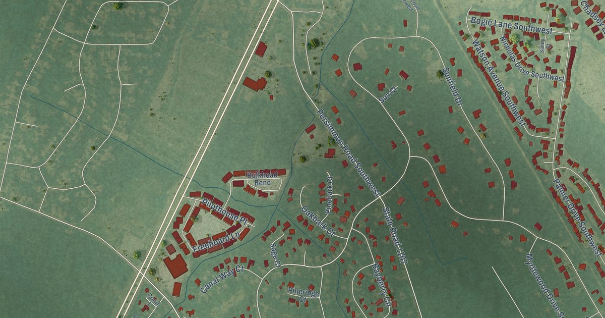
On this map you'll find Gate 7, Gate 11, Gate 8, Gate 10, Gate 5, Country Club Drive, State Road 1168, Carolina Shores Parkway, Carolina Shores Drive, Carolina Farms Boulevard, Pinewood Drive, Calabash Drive, and more. Each red shape is a building, so zoom in on the preview and look for yours.
Carolina Shores is a town in Brunswick County. The Census Bureau counted 4,588 people here in 2020. The map prints the town name in its title panel, with the coordinates below it.
Take a closer look at the Carolina Shores map
Names on this map
These names are printed on this map.
Streets and roads: Gate 7, Gate 11, Gate 8, Gate 10, Gate 5, Country Club Drive, State Road 1168, Carolina Shores Parkway, Carolina Shores Drive, Carolina Farms Boulevard, Pinewood Drive, Calabash Drive.
More street names, A to Z
Bayberry Circle, Blythe Court, Bogie Lane Southwest, Brassie Drive, Bulkhead Bend, Cable Lake Circle, Calabash Court, Calabash Lakes Boulevard, Canal Way Court, Captains Court Southwest, Cass Lake Road, Cattle Run Lane, Cedar Court Southwest, Cedar Creek Lane, Chadsey Lake Drive, Cleek Court, Club Creek Lane, Clubview Lane Southwest, Cobblers Circle, Coffee Mill Creek Lane, Coleman Lake Drive, Coleto Creek Lane, Cornflower Street, Corn Planters Circle, Court 1, Court 2, Court 3, Court 4, Court 5, Court 6, Court 7, Court 8, Creek Harbor Lane, Crescent Lake Drive, Downing Glen Place, East Pine Court, Egret Court, Fairway Court, Fence Post Lane, Field Planters Circle, Freeboard Lane, Furrow Lane, Gate 2, Gate 3, Gate 6, Gate 12, Golf Crest Court, Golfview Court, Gumwood Drive, Haystack Way, Koolabrew Drive Northwest, Lakeview Court, Landing Court, Lighthouse Cove Loop, Macon Lane Southwest, Mashie Court Southwest, McCormick Trail Northwest, Myrtlewood Drive Southwest, Nautical Lane Southwest, Nicholas Drive Southwest, Northwest Drive, Oakbark Court, Ocean Highway West, Palm Court Southwest, Palmer Drive Southwest, Persimmon Road Southwest, Picket Fence Lane, Pilothouse Place, Pinebark Court, Pineridge Court, Planters Row Lane, Putter Place, Putting Lane Southwest, Sage Court, Sand Dollar Court, Sanddollar Drive, Sandy Court, Shingletree Road Northwest, Slippery Rock Way, State Road 1165, State Road 1167, State Road 1300, State Road 1302, Sun Court, Sunfield Drive, Sunfish Court, Sunny Slope Circle, Sunrise Court, Swamp Fox Drive, Thicketwood Drive, Thomasboro Road Southwest, Thrush Court Southwest, Topsail Court, Waterview Lane Southwest, Watson Avenue Southwest, Wave Lane, West Pine Court.
Created by KNOWOL in 2026. The buildings are small red shapes, the roads carry their printed names, and shaded relief shows the shape of the land. The title panel reads "AERIAL VIEW OF CAROLINA SHORES NORTH CAROLINA" with 33°55' NORTH 78°35' WEST.
It suits a den, a classroom or a front hall, and it makes a gift for anyone with Carolina Shores roots. Open the preview and find the block you know. See sizes and frames for the Carolina Shores map.