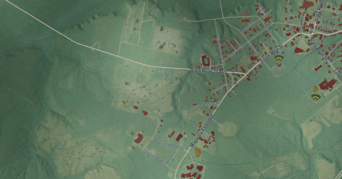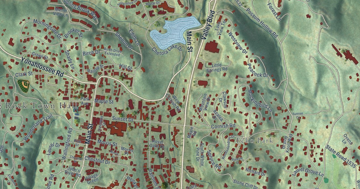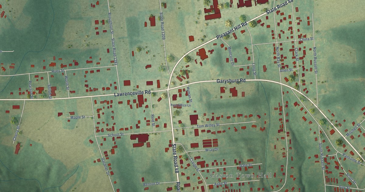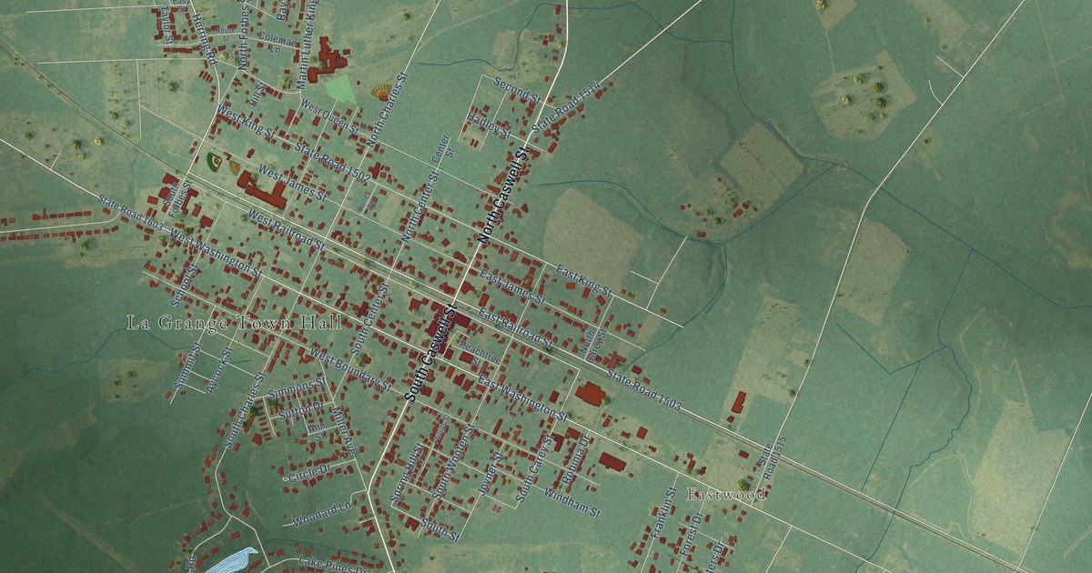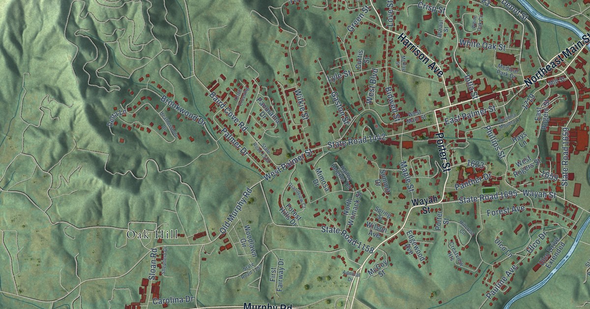
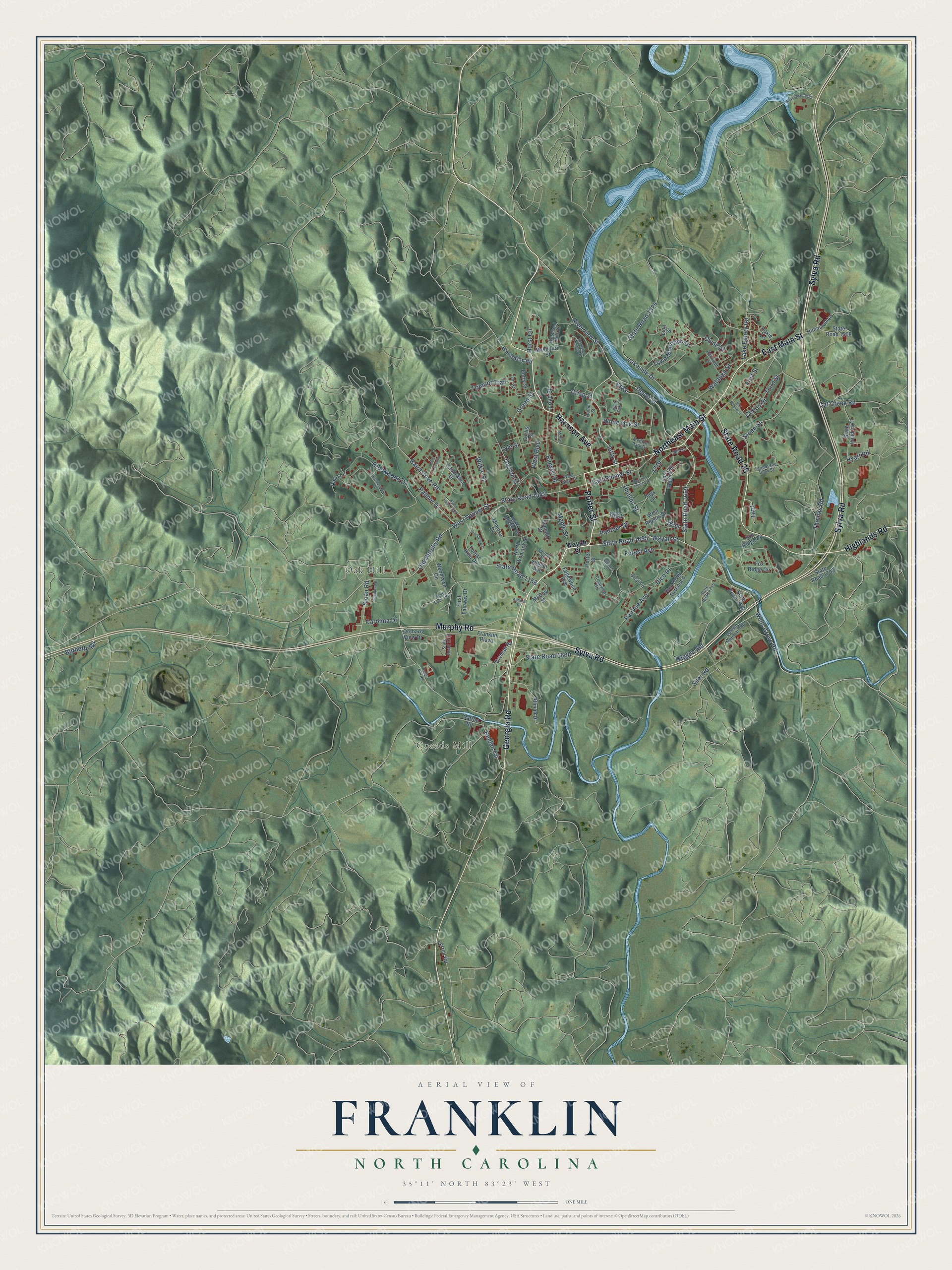
This beautifully detailed map of Franklin, North Carolina was created in 2026 using aerial imagery combined with modern topographical, census, street and landmark data. It's a modern aerial view of Franklin in Macon County, North Carolina, that combines modern data with a vintage aesthetic. The roads feature printed names, and if you look closely you can find your exact house accurately shown in its correct location.
Explore an aerial view of Franklin, North Carolina
On this map you'll find Cozads Mill, Oak Hill, Georgia Road, Porter Street, Northeast Main Street, East Main Street, State Road 28, Highlands Road, Sylva Road, Murphy Road, Harrison Avenue, State Road 1659, and more. Each red shape is a building, so zoom in on the preview and look for yours.
Every town has a first chapter, and Franklin is no exception. The record at dncr.nc.gov puts it this way: "On June 27, 1760, a British army led by Colonel Archibald Montgomery was defeated by Cherokee warriors at the battle of Echoe, near present-day Franklin."
Franklin is a town in Macon County. The Census Bureau counted 4,175 people here in 2020.
Take a closer look at the Franklin map
Names on this map
These names are printed on this map.
Places: Cozads Mill and Oak Hill.
Streets and roads: Georgia Road, Porter Street, Northeast Main Street, East Main Street, State Road 28, Highlands Road, Sylva Road, Murphy Road, Harrison Avenue, State Road 1659, Depot Street, Iotla Street.
More street names, A to Z
Admiral Drive, Allman Drive, Baird Cove Road, Belden Circle, Bidwell Street, Brookwood Drive, Burnette Road, Carolina Drive, Carolina Mountain, Cat Creek Road, Cherry Street, Clyde Street, Cove Crossing, Crestview Heights, Crisp Street, Curtis Street, Delta Lane, Doraul Street, Dowdle Mountain Road, Dryman Road, East Palmer Street, East Rogers Street, Edgewood Avenue, First Fairway Drive, First Street, Forest Avenue, Forest Hills Drive, Fox Ridge Circle, Fox Ridge Road, Franklin Plaza, Gaston Street, Grandview Court, Green Street, Hailey Heights Terrace, Hays Lane, Heatherstone Drive, Hillcrest Circle, Hunnicutt Lane, Hurst Circle, Hyatt Road, Ivar Street, Lake Emory Road, Lakeside Drive, Lion Street, Love Street, Lyle Street, Maple Street, Mashburn Street, McCoy Street, McKay Street, Medical Park Drive, Mill Street, Mimosa Drive, North Womack Street, Old Murphy Road, Orchard View Drive, Palmer Drive, Panorama Drive, Panther Drive, Patton Road, Pauline Avenue, Perry Street, Phillips Street, Randolph Street, Riverview Heights Street, Riverview Street, Roller Mill Road, Roxie Lane, Shepherd Drive, Siler Road, Sloan Road, Sloan Street, Spring Street, State Road 1157, State Road 1158, State Road 1170, State Road 1319, State Road 1324, State Road 1325, State Road 1442, State Road 1508, State Road 1573, State Road 1660, State Road 1695, State Road 1703, State Road 1704, State Road 1715, Summit Drive, Tennessee View Street, Terrell Road, Third Street, Thomas Road, Town Mountain Drive, Trimont Trail, Ulco Drive, Ulco Drive Extended, Ulco Lane, Van Raalte Street, Watauga Street, Wayah Street, Wells Grove Road, West Boulevard, West Main Street, West Palmer Street, West Rogers Street, White Oak Circle, White Oak Street, Wiggins Road, Wilkie Street, Wilson Avenue, Windy Gap Road, Woodland Hills Drive, Woodlawn Circle.
Created by KNOWOL in 2026. The buildings are small red shapes, the roads carry their printed names, and shaded relief shows the shape of the land. The title panel reads "AERIAL VIEW OF FRANKLIN NORTH CAROLINA" with 35°11' NORTH 83°23' WEST.
Hang it in the hallway, the office or the cabin, or give it to someone who left Franklin and still calls it home. Open the preview and look for a street you know. See sizes and frames for the Franklin map.