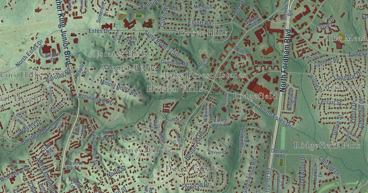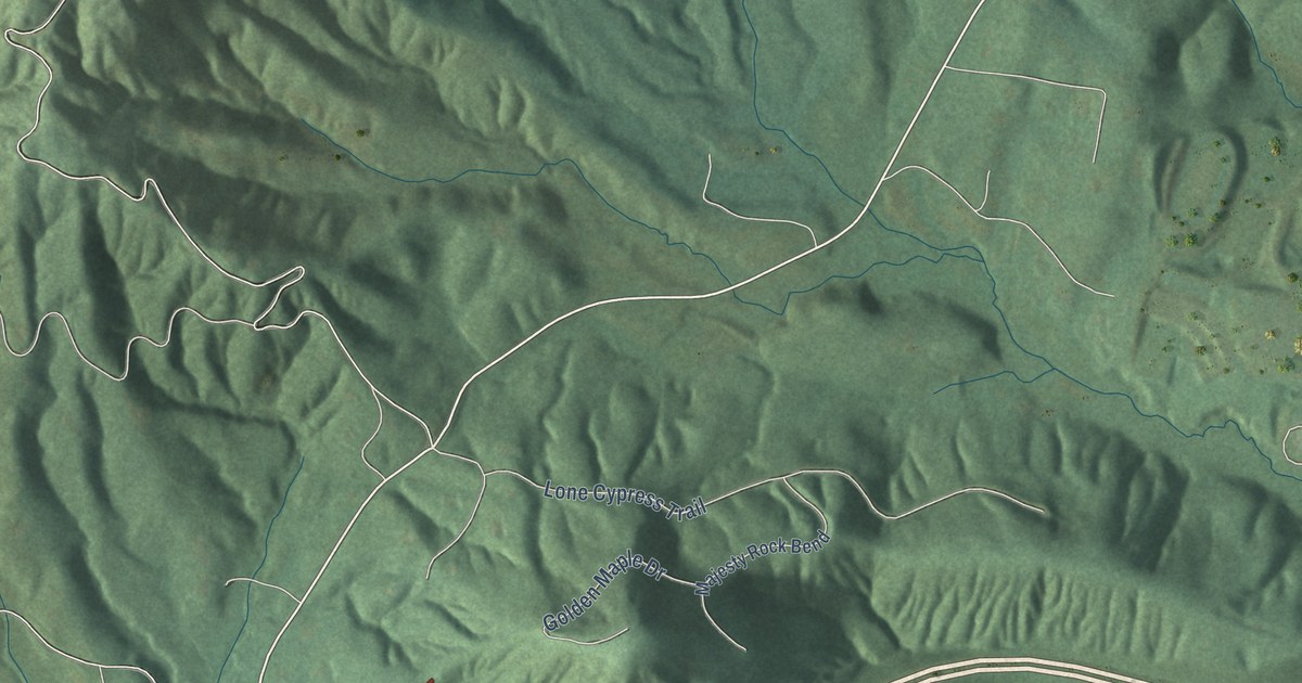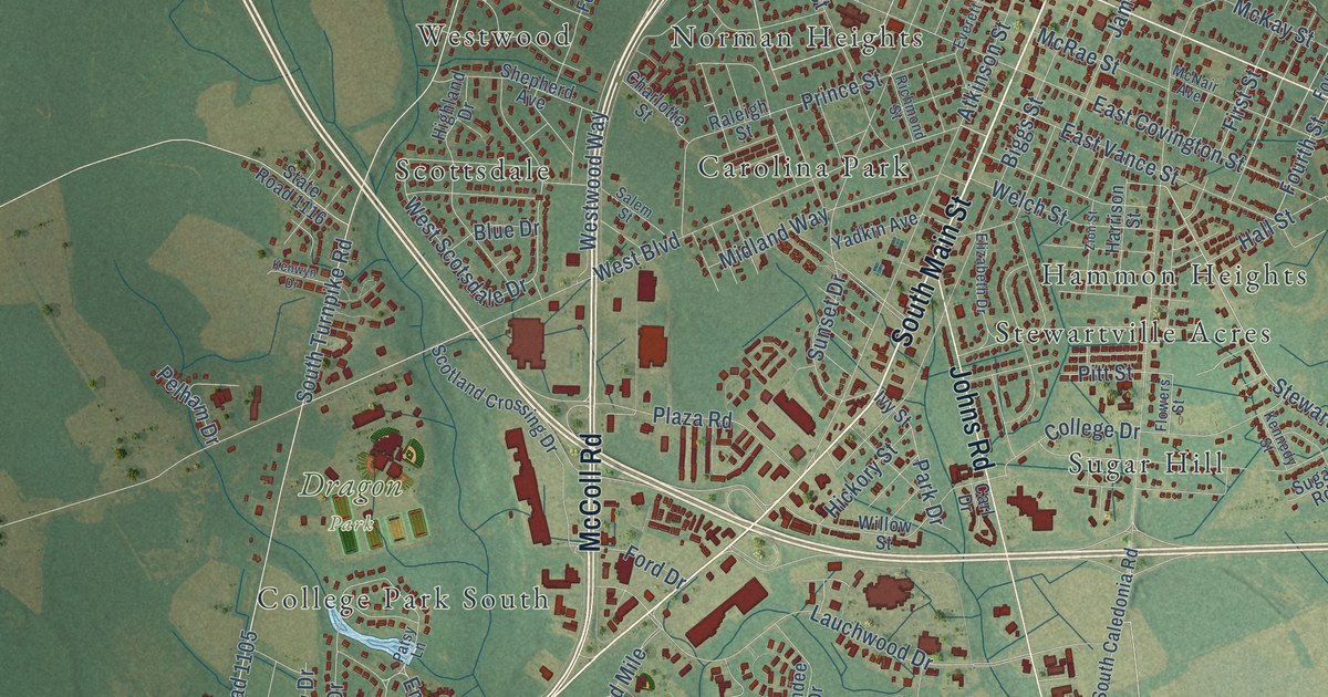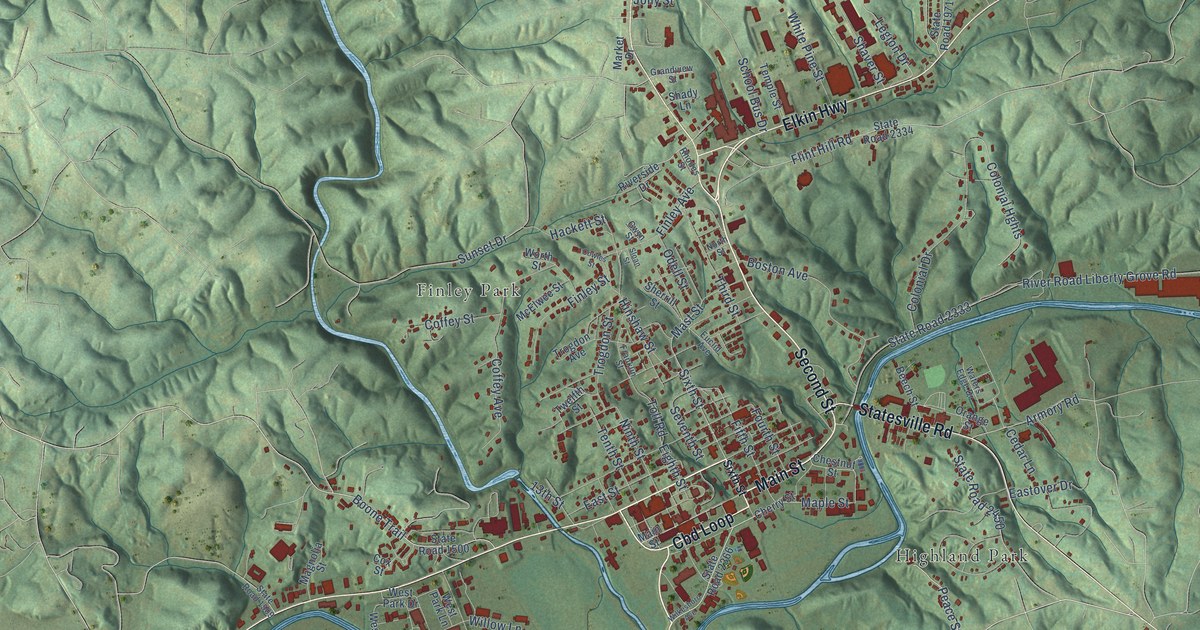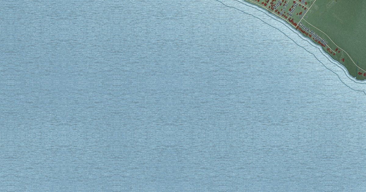
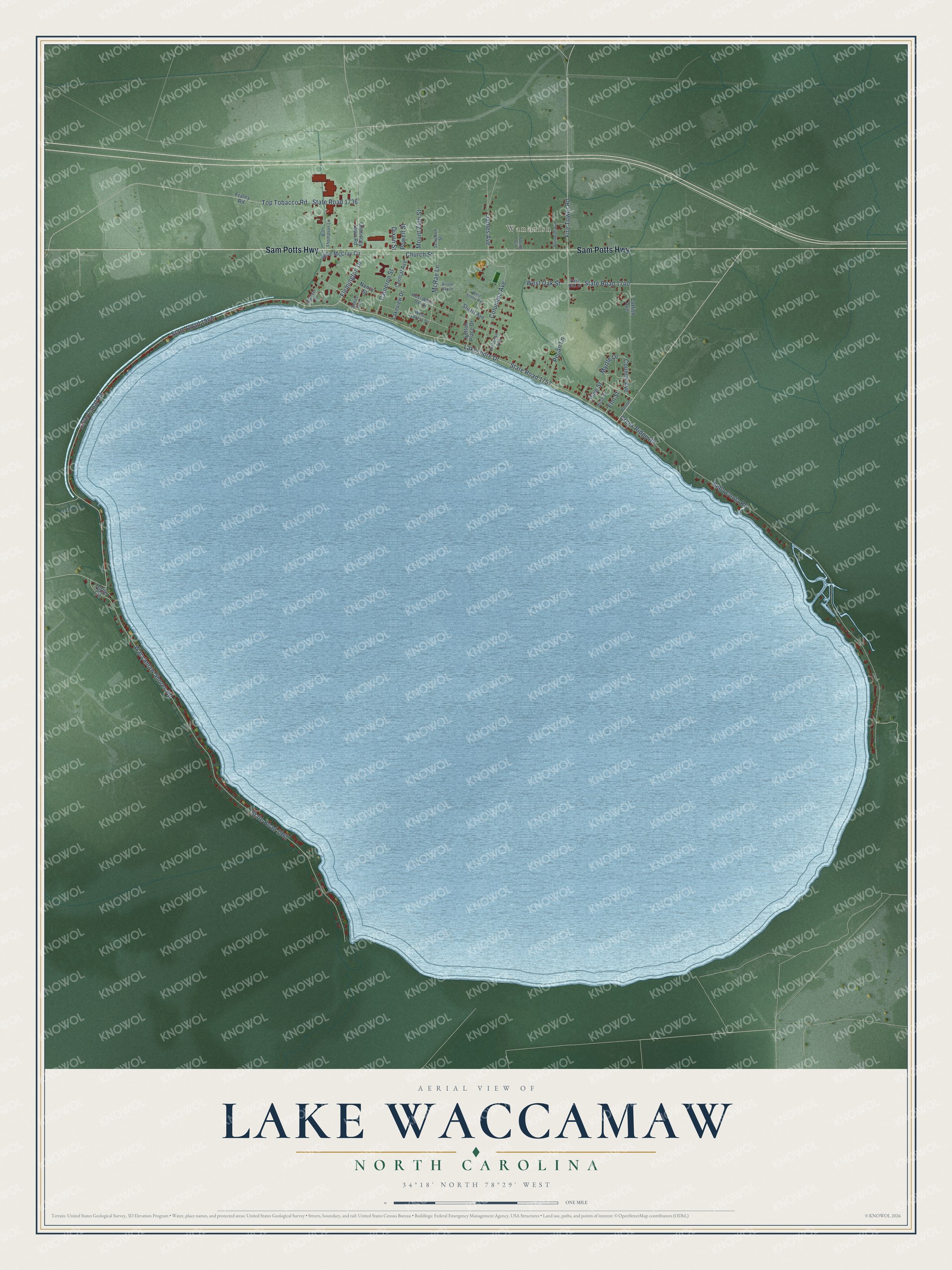
This beautifully detailed map of Lake Waccamaw, North Carolina was created in 2026 using aerial imagery combined with modern topographical, census, street and landmark data. It's a modern aerial view of Lake Waccamaw in Columbus County, North Carolina, that combines modern data with a vintage aesthetic. The roads feature printed names, and if you look closely you can find your exact house accurately shown in its correct location.
Explore an aerial view of Lake Waccamaw, North Carolina
On this map you'll find Wananish, Sam Potts Highway, State Road 1900, Lakeshore Drive, State Road 1740, Myrtle Drive, State Road 1757, Fire Tower Road, Cove Canal Road, Flemington Drive, State Road 1967, Waccamaw Shores Road, and more. Each red shape is a building, so zoom in on the preview and look for yours.
Here is a piece of Lake Waccamaw history, in the words of the record. The North Carolina Gazetteer puts it this way: "Lake Waccamaw town in N Columbus County on the N shore of Lake Waccamaw. Known as Flemington from as early as 1853 until about 1885, when the present name came into use. Inc. 1911."
Lake Waccamaw is a town in Columbus County. The Census Bureau counted 1,296 people here in 2020.
Take a closer look at the Lake Waccamaw map
Names on this map
These names are printed on this map.
Places: Wananish.
Streets and roads: Sam Potts Highway, State Road 1900, Lakeshore Drive, State Road 1740, Myrtle Drive, State Road 1757, Fire Tower Road, Cove Canal Road, Flemington Drive, State Road 1967, Waccamaw Shores Road, Bella Coola Road.
More street names, A to Z
Bartram Lane, Bill Thompson Lane, Birch Street, Bristol Bay Drive, Cameron Street, Catfish Avenue, Central Avenue, Chauncey Town Road, Church Street, Columbia Avenue, Council Avenue, Creek Ridge Road, Dallas Avenue, Dixon Street, East Oak Street, Elm Street, Fraley Road, James Avenue, Lakeview Drive, McRae Lane, Mount Zion Street, Nancy Street, Pecan Lane, Pine Street, Powell Street, Robeson Avenue, Rube McCray Circle, Schulken Street, State Road 1736, Stuart Avenue, Sutton Place Drive, Top Tobacco Road, Turtle Circle, Wananish Avenue, Weaver Drive, West Cypress Street, West Oak Street, West Schley Avenue, West White Oak Street, Young Circle.
Created by KNOWOL in 2026. The buildings are small red shapes, the roads carry their printed names, and shaded relief shows the shape of the land. The title panel reads "AERIAL VIEW OF LAKE WACCAMAW NORTH CAROLINA" with 34°18' NORTH 78°29' WEST.
It suits a den, a classroom or a front hall, and it makes a gift for anyone with Lake Waccamaw roots. Open the preview and find the block you know. See sizes and frames for the Lake Waccamaw map.