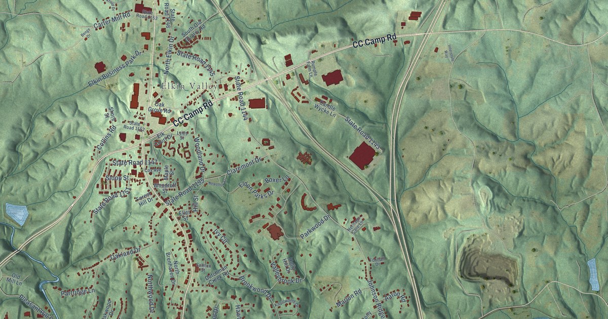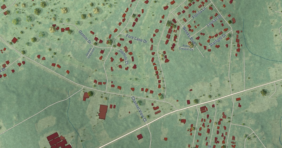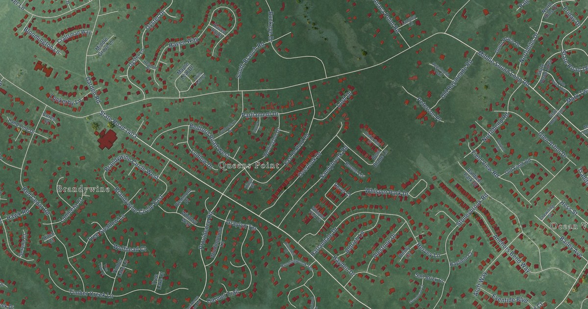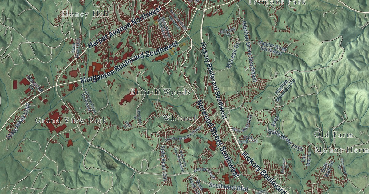
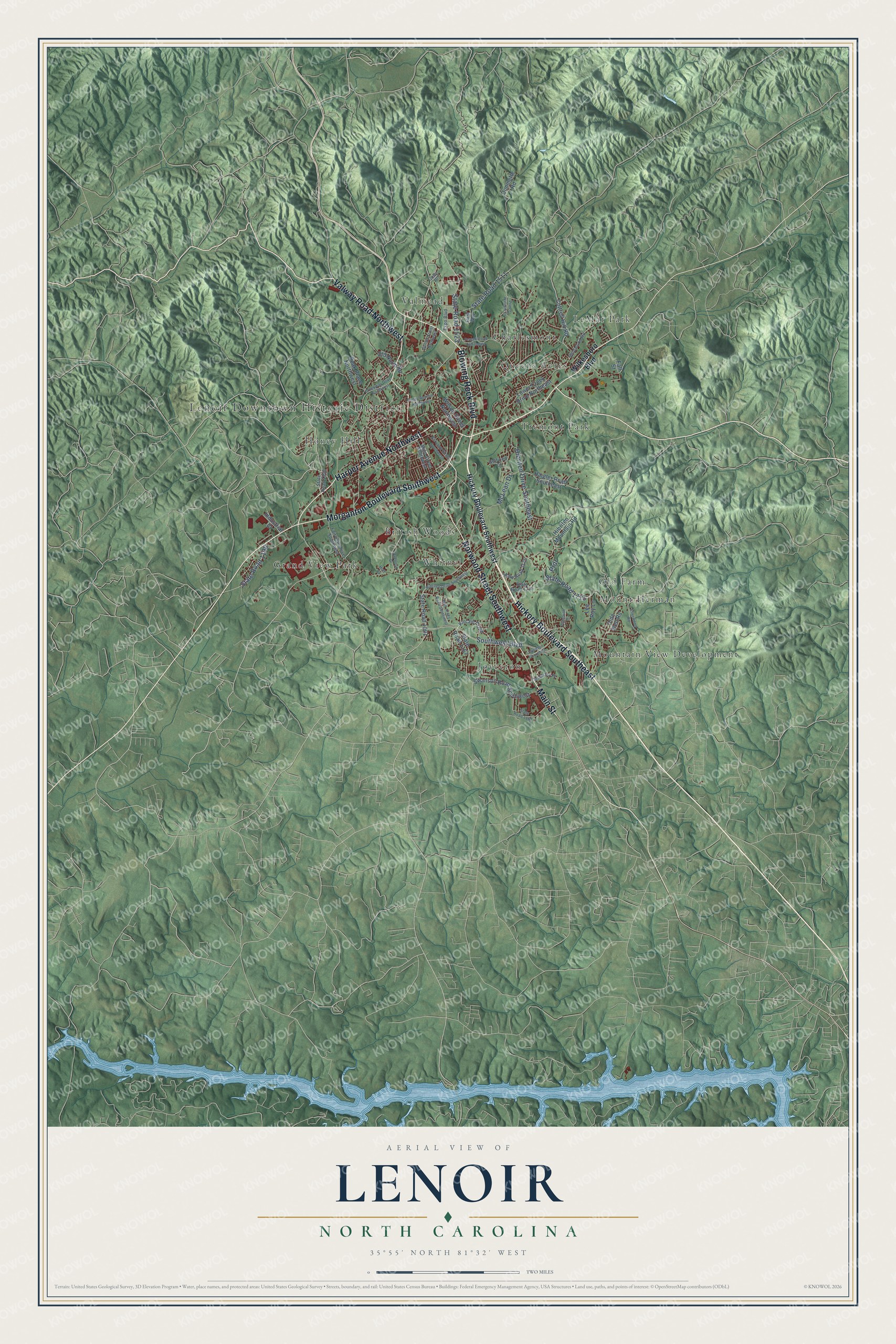
This beautifully detailed map of Lenoir, North Carolina was created in 2026 using aerial imagery combined with modern topographical, census, street and landmark data. It's a modern aerial view of Lenoir in Caldwell County, North Carolina, that combines modern data with a vintage aesthetic. The roads feature printed names, and if you look closely you can find your exact house accurately shown in its correct location.
Explore an aerial view of Lenoir, North Carolina
On this map you'll find Lenoir Downtown Historic District, British Woods, Charlesmont, Grand View Park, Honey Hill, Joyceton, LeMar Park, Mount Herman, Mountain View Development, Old Farm, Queens Acres, Tremont Park, and more. Each red shape is a building, so zoom in on the preview and look for yours.
Every town has a first chapter, and Lenoir is no exception. The North Carolina Gazetteer puts it this way: "Lenoir city and county seat, central Caldwell County. Laid out 1841, inc. 1851. Named in honor of Gen. William Lenoir (1751-1839), a Revolutionary War leader. A nearby forerunner of Lenoir was Tucker's Barn, a small community that developed around a tavern and blacksmith shop operated by the Tucker family."
Lenoir is a city in Caldwell County. The Census Bureau counted 18,352 people here in 2020.
Take a closer look at the Lenoir map
Names on this map
These names are printed on this map.
Places: Lenoir Downtown Historic District, British Woods, Charlesmont, Grand View Park, Honey Hill, Joyceton, LeMar Park, Mount Herman, Mountain View Development, Old Farm, Queens Acres, Tremont Park, Valmead and Whitnel.
Streets and roads: Hickory Boulevard Southeast, Morganton Boulevard Southwest, Harper Avenue Northwest, Blowing Rock Boulevard, Norwood Street Southwest, Valway Road Northwest, Main Street, Southwest Boulevard, State Road 1523, Hibriten Drive Southeast, State Road 1712, State Road 1511.
More street names, A to Z
Cottrell Hill Road, Creekway Drive Northwest, Dimmette Road, Ellerwood Road, Expo Boulevard, Fairview Drive Southwest, Fall Street, Finley Avenue Northwest, Golfview Court, Haigler Road Southeast, Hibriten Drive Southwest, Hibriten Mountain Road, Hickory Boulevard Southwest, Hoff Court, Industrial Court, Jolly Place, Joyceton Church Street, Kincaid Creek, Lee Roy Lane, Lower Creek Drive Northeast, Main Street Southwest, McCrary Place, McLean Drive, Olde Well Road, Old North Road, Overlook Drive, Park Way, Peak Place Northwest, Plymouth Drive, Powell Road Northeast, Prdr, Prince William Drive, State Road 1001, State Road 1162, State Road 1167, State Road 1175, State Road 1190, State Road 1303, State Road 1774, Sunset Street Northwest, Swanson Road Southwest, Walt Arney Road Southwest, Wildwood Road, Wilkesboro Boulevard, Wilson Street Northwest.
Created by KNOWOL in 2026. The buildings are small red shapes, the roads carry their printed names, and shaded relief shows the shape of the land. The title panel reads "AERIAL VIEW OF LENOIR NORTH CAROLINA" with 35°55' NORTH 81°32' WEST.
Hang it in the hallway, the office or the cabin, or give it to someone who left Lenoir and still calls it home. Open the preview and look for a street you know. See sizes and frames for the Lenoir map.