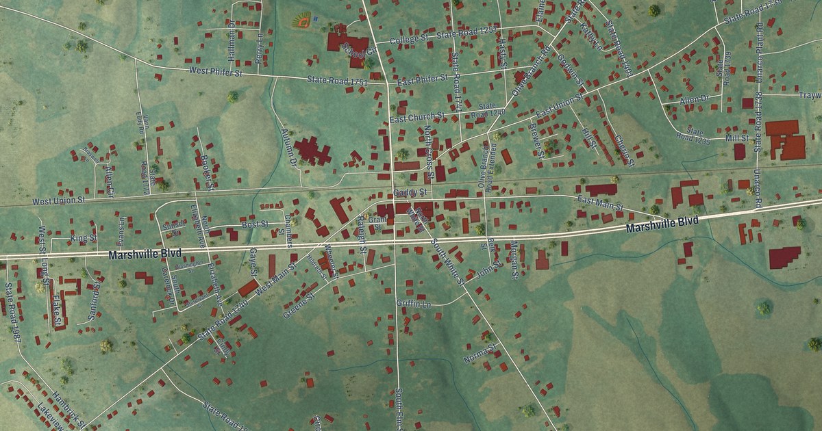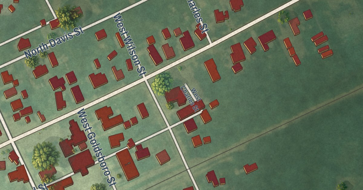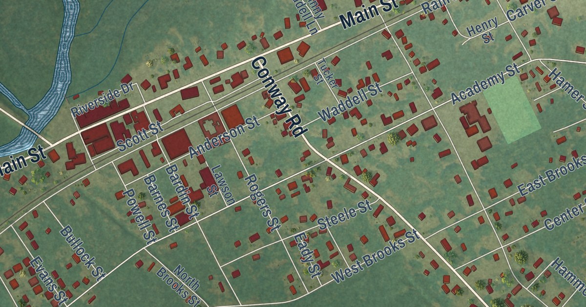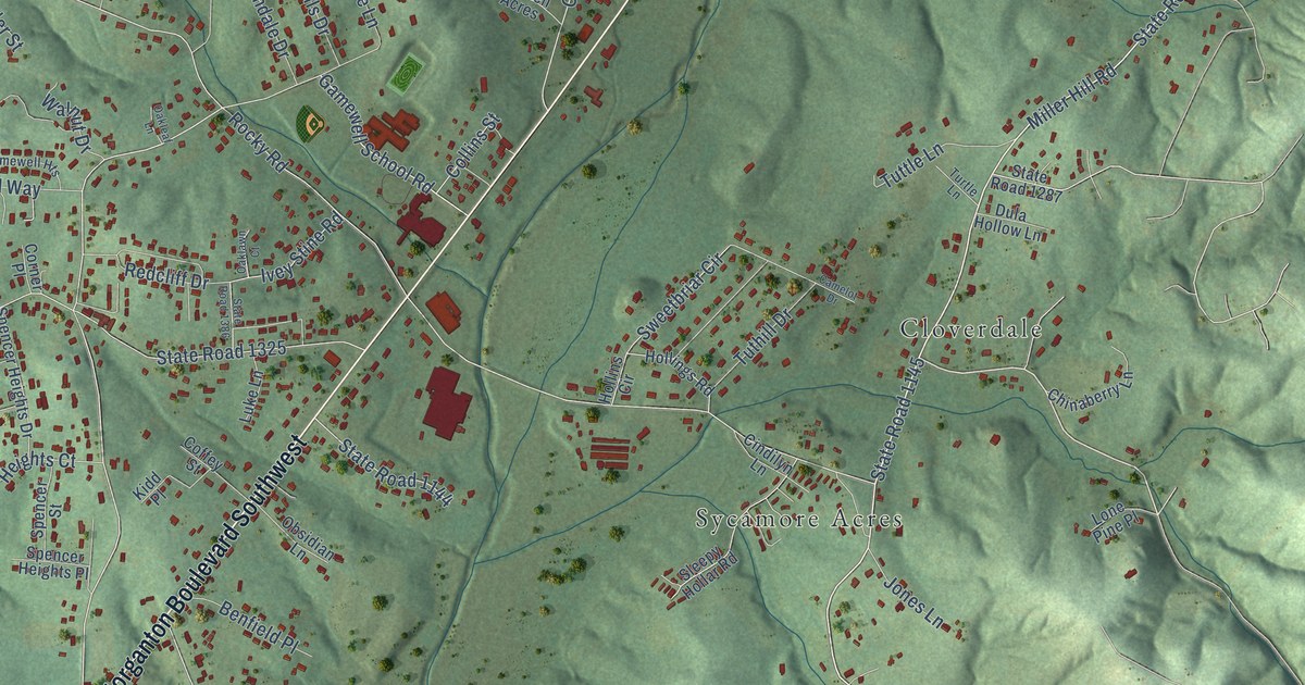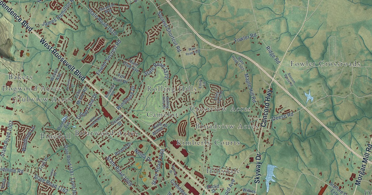
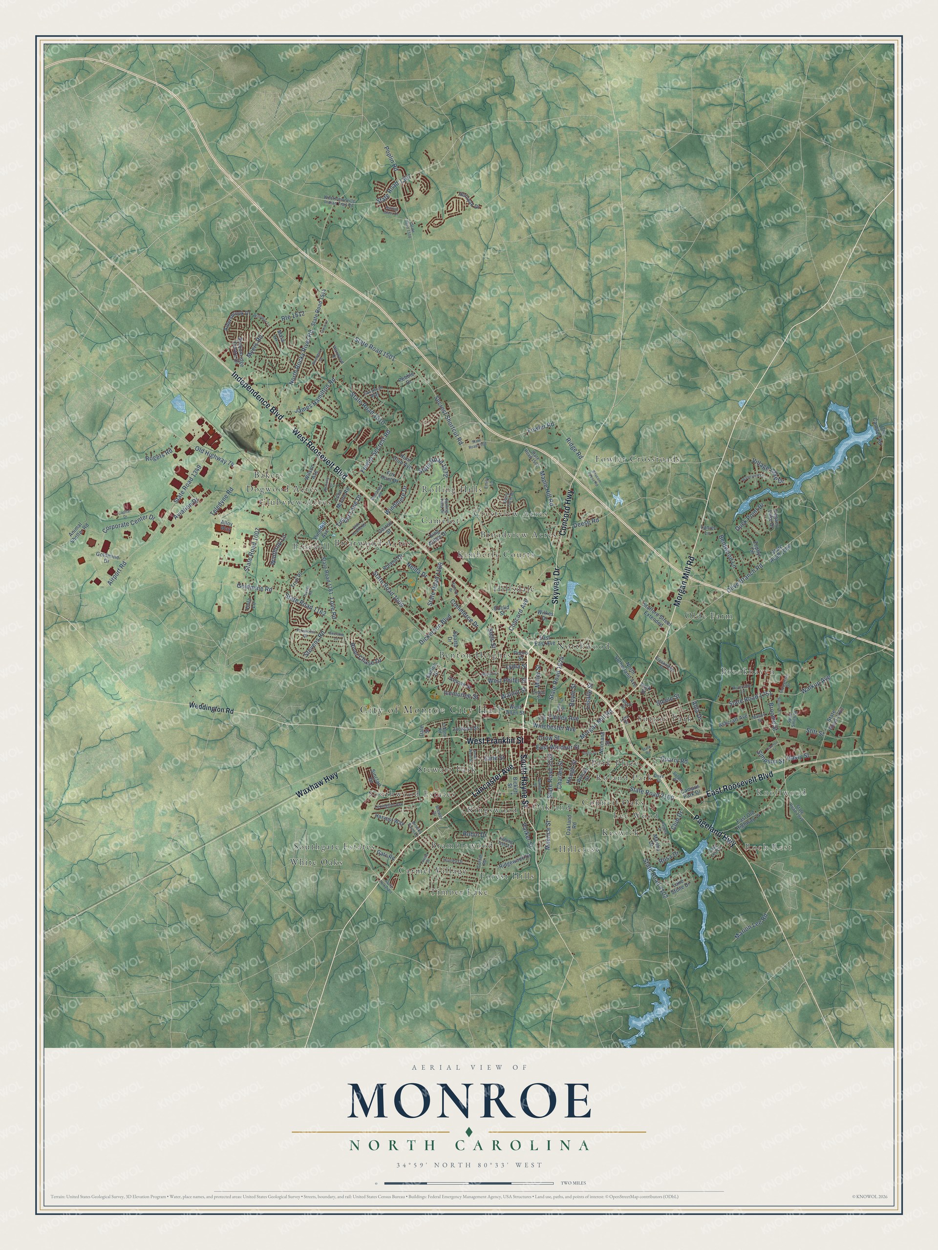
This beautifully detailed map of Monroe, North Carolina was created in 2026 using aerial imagery combined with modern topographical, census, street and landmark data. It’s a one-of-a-kind view of Monroe that combines accurate data with a vintage aesthetic. The map shows every building in its true location, many of the roads carry their names, and the shaded topographic relief shows the shape of the land.
Explore an aerial view of Monroe, North Carolina
On the map you’ll find City of Monroe City Hall, Rock Rest, Knollwood, Bakers, Benton Heights, Bramblewood, Briarwood Acres, Broadview Acres, Brookhaven, Camelot, Carmel Village, Clubview Acres, and more. If you look closely you can even find your house accurately drawn in its correct location. Zoom in on the preview to look for yours.
Did you know this piece of Monroe, North Carolina history?
From Ncpedia.org: "Monroe, the county seat, was incorporated in 1844 and named for President James Monroe."
Take a closer look at the Monroe map
Street and place names on the Monroe, North Carolina map
These names are printed on the map of Monroe, North Carolina.
Places: City of Monroe City Hall, Rock Rest, Knollwood, Bakers, Benton Heights, Bramblewood, Briarwood Acres, Broadview Acres, Brookhaven, Camelot, Carmel Village, Clubview Acres, Council Oaks, Crestview Acres, Dogwood Acres, Forest Hills, Fowler Crossroads, Hillcrest, Hillsdale, Keswick, Kimberly Courts, Kingswood, Lee Wood, Northwood, Oakland, Olde Farm, Park Place, Pinedell, Roland Park, Rolling Hills, Southgate Estates, Southwood Estates, Stewart Park, Sutton Park, Timber Lake and White Oaks.
Streets and roads: Skyway Drive, Morgan Mill Road, Lancaster Avenue, South Hayne Street, East Roosevelt Boulevard, West Roosevelt Boulevard, Independence Boulevard, Concord Highway, Waxhaw Highway, West Franklin Street, Pageland Highway, State Road 1009.
More street names, A to Z
Airport Road, Alda Drive, Aldersbrook Drive, Alloy Way, Animal Shelter Road, Ashcraft Avenue, Avery Parker Road, Aviation Drive, Balting Glass Drive, Baucom Deese Road, Bearskin Lane, Benton Street, Bentwood Lane, Bickett Street, Blueberry Drive, Bonanza Road, Boyte Street, Brekonridge Centre Drive, Brewer Drive, Brooks Farm Lane, Broome Street, Campus Park Drive, Capital Drive, Carroll Street, Cedar Street, Charles Street, Club Drive, Colony Road, Commerce Drive, Concord Avenue, Corporate Center Drive, Creekridge Drive, Crow Street, Cureton Street, Curtis Street, Dairy Farm Drive, Dale Street, Deese Road, Dickerson Boulevard, Dove Street, Duck Point Drive, East East Avenue, East Old Highway 74, East Windsor Street, Emily Lane, Euclid Street, Fairley Avenue, Falling Tree Lane, Fowler Road, Fowler Secrest Road, Fox Hunt Drive, Foxworth Drive, Gate Road, Goldmine Drive, Goldmine Road, Griffith Road, Hanover Drive, Harvest Way, Hasty Street, Hill Street, Hornyak Drive, Hough Street, Hunley Drive, Hunt Club Avenue, Iceman Street, Icemorlee Street, Industrial Drive, Jackson Street, James Hamilton Road, John Moore Road, John Street, King Arthur Drive, Lake Lee Drive, Lake Stone Drive, Lane Street, Lanier Lane, Lasalle Street, Legacy Lake Drive, Lexie Lane, Lexington Avenue, Louise Street, Love Road, Lydia Street, Lynn Street, Maple Hill Road, Mara Lane, Marion Lee Road, Martha Drive, Mason Street, Maurice Street, Miller Street, Myers Road, Nash Street, Nelda Drive, Normand Street, North Rocky River Road, North Sutherland Avenue, Oakland Road, Old Camden Road, Olde Towne Road, Old Highway 74, Olive Branch Road, Pamela Drive, Parker Street, Pebble Drive, Pedro Street, Pinedell Avenue, Polk Street, Poplin Road, Quarry Road, Ridge Road, Ridgewood Drive, River Chase Drive, Riverside Lane, Robin Drive, Rogers Road, Roland Drive, Rolling Hills Drive, Romany Drive, Rosa Drive, Route 1512, Sanlee Drive, Savannah Way, Secrest Shortcut Road, Sells Street, Simpson Street, Sinclair Drive, South West Street, Sparta Drive, Spud Smith Street, Stafford Street Extended, State Road, State Road 1006, State Road 1007, State Road 1162, State Road 1169, State Road 1181, State Road 1349, State Road 1367, State Road 1501, State Road 1502, State Road 1503, State Road 1508, State Road 1510, State Road 1514, State Road 1572, State Road 1624, State Road 1751, State Road 1763, State Road 1941, State Road 2100, State Road 2102, State Road 2103, Steele Street, Stevens Road, Stitt Street, Summit Street, Sutton Place, Sutton Street, Teledyne Road, Timber Lane Drive, Trull Place, Tucker Road, Village Lake Drive, Viola Lane, Walkup Avenue, Walnut Street, Waterview Lane, Waxwood Drive, Weddington Road, West Allen Street, West Phifer Street, West Unionville Indian Trail Road, Wilkes Drive, Willoway Lane, Wilson Avenue, Wilson Street, Winchester Avenue, Windmere Drive, Winthrop Lane, Zephyr Circle.
See the Monroe, North Carolina map on a wall
The Monroe map as an 18 x 24 inch print in a black frame.

This beautifully detailed map of Monroe makes an attractive addition to your office, library, or den, and it can even be used to teach children the geography and history of the area. It also makes a great gift for anyone with Monroe roots. When you’re done exploring, click here to get your copy of the Monroe map.