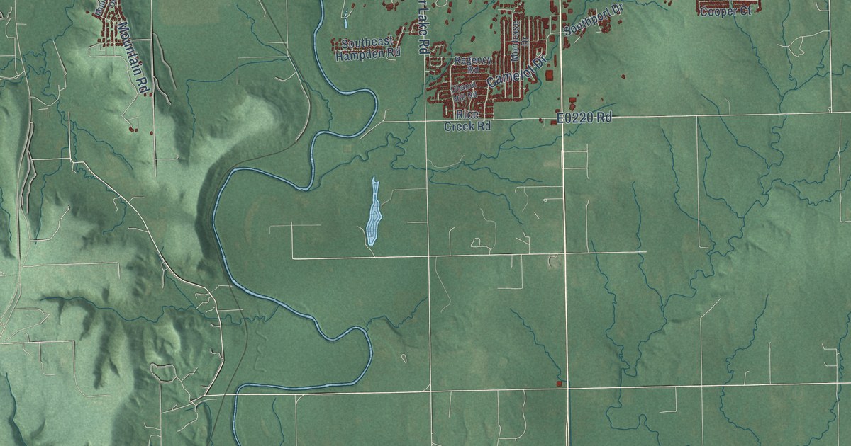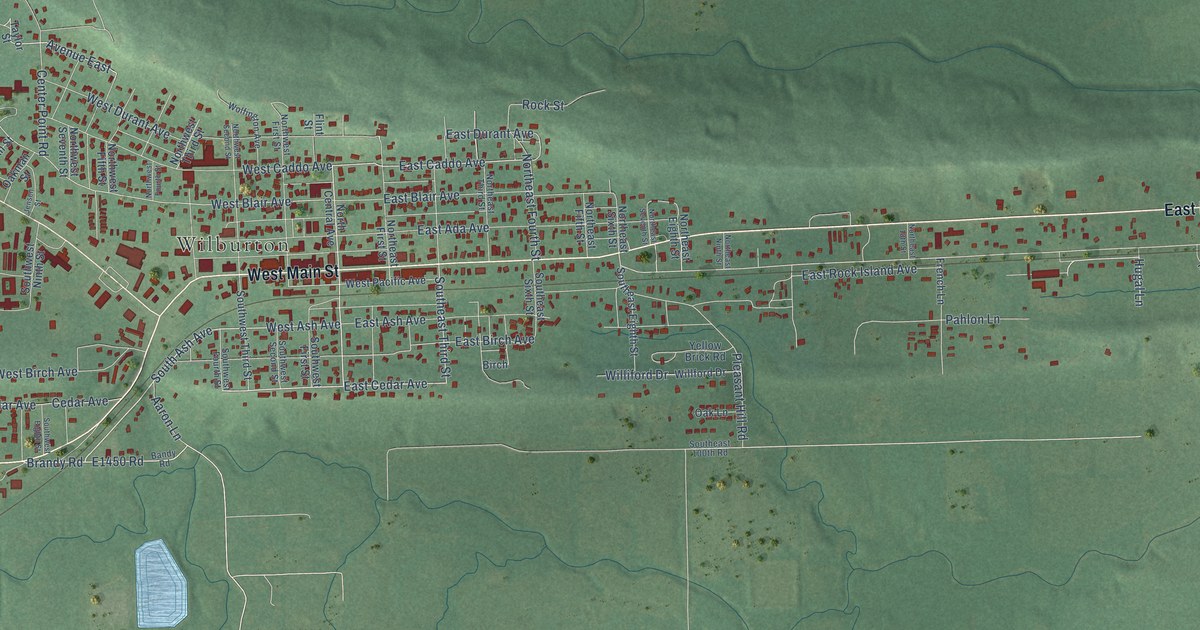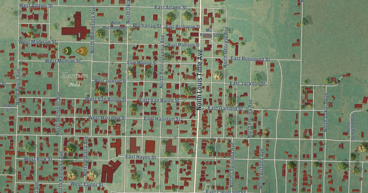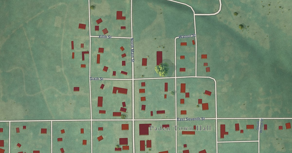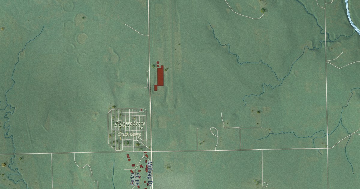
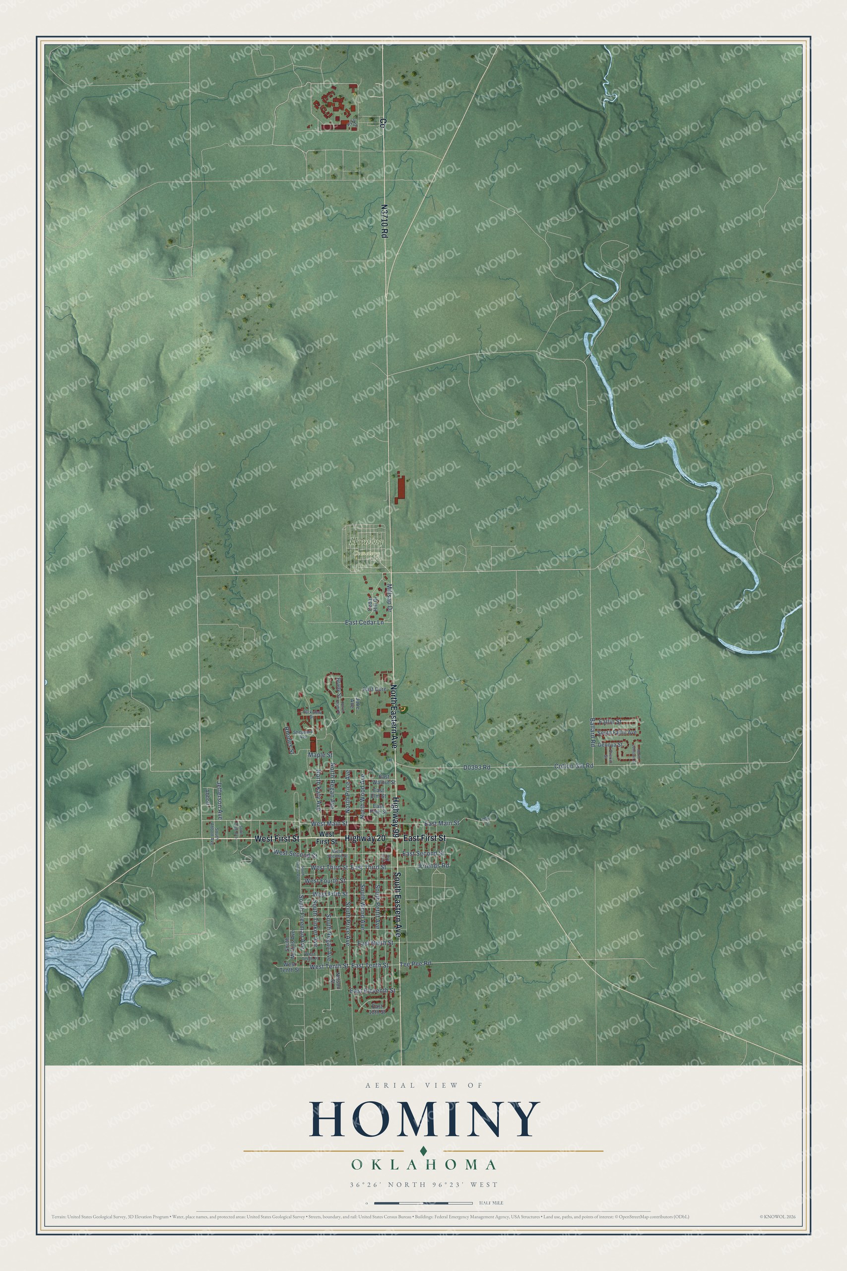
This beautifully detailed map of Hominy, Oklahoma was created in 2026 using aerial imagery combined with modern topographical, census, street and landmark data. It's a modern aerial view of Hominy in Osage County, Oklahoma, that combines modern data with a vintage aesthetic. The roads feature printed names, and if you look closely you can find your exact house accurately shown in its correct location.
Explore an aerial view of Hominy, Oklahoma
On this map you'll find Hominy Cemetery, West First Street, North Eastern Avenue, Highway 99, South Eastern Avenue, N3710 Road, East First Street, Highway 20, Co, South Price Avenue, West Main Street, North Price Avenue, and more. Each red shape is a building, so zoom in on the preview and look for yours.
Hominy has a story worth telling. The Oklahoma Historical Society puts it this way: "The Hominy Indians professional football team was organized in 1925. The all-Indian squad defeated the National Football League champion New York Giants in 1927 and disbanded after the 1932 season."
Hominy is a city in Osage County.
Take a closer look at the Hominy map
Names on this map
These names are printed on this map.
Places: Hominy Cemetery.
Streets and roads: West First Street, North Eastern Avenue, Highway 99, South Eastern Avenue, East First Street, Highway 20, South Price Avenue, West Main Street, North Price Avenue, West Tenth Street, East Tenth Street, North Wood Avenue.
More street names, A to Z
Abbott, Ballard Road, Brady Street, Cedar Hill Drive, Cotton Gin Road, Denoya Street, Drexill Street, East 13th Street, East Cedar Lane, East Core, East Eleventh Street, East Elm Street, East Main Street, East Ninth Street, East Pine Street, East Second Street, East Third Street, East Walnut Street, Fallin Street, Friends Road, Jefferson Avenue, Julie Avenue, Kyker Street, Main Street, Maple Street, Millsap Drive, Nelson Street, North Brady Street, North Johnson Street, North Katy Avenue, North Regan Avenue, Parkview Drive, Petit Avenue, Rhodes Street, Sheppard Avenue, South Abbott Avenue, South Fallin Avenue, South Freeman Avenue, South Haines Avenue, South Mullins Avenue, South Page Avenue, South Pettit Avenue, South Regan Avenue, South Tinker Avenue, South Wood Avenue, Tee Pee Road, West Fifth Street, West Fourth Street, West Second Street, West Tenth Place, West Third Street.
Created by KNOWOL in 2026. The buildings are small red shapes, the roads carry their printed names, and shaded relief shows the shape of the land. The title panel reads "AERIAL VIEW OF HOMINY OKLAHOMA" with 36°26' NORTH 96°23' WEST.
It looks right in a kitchen, an office or a den, and it's a gift for anyone who grew up in Hominy or moved away. Open the preview and find your street. See sizes and frames for the Hominy map.