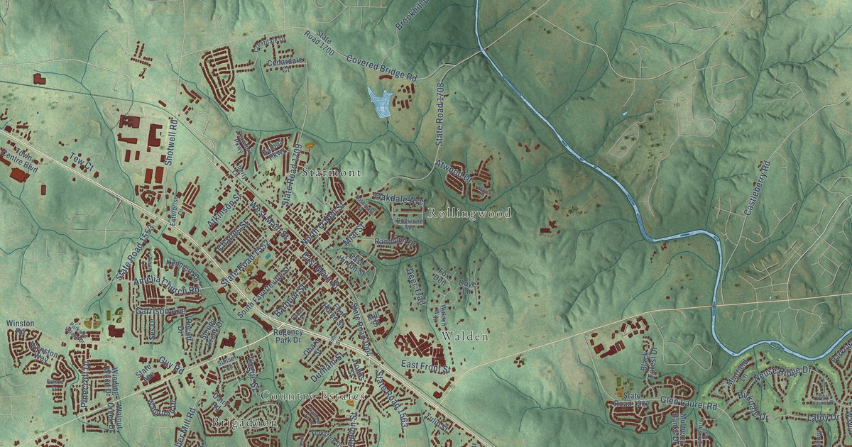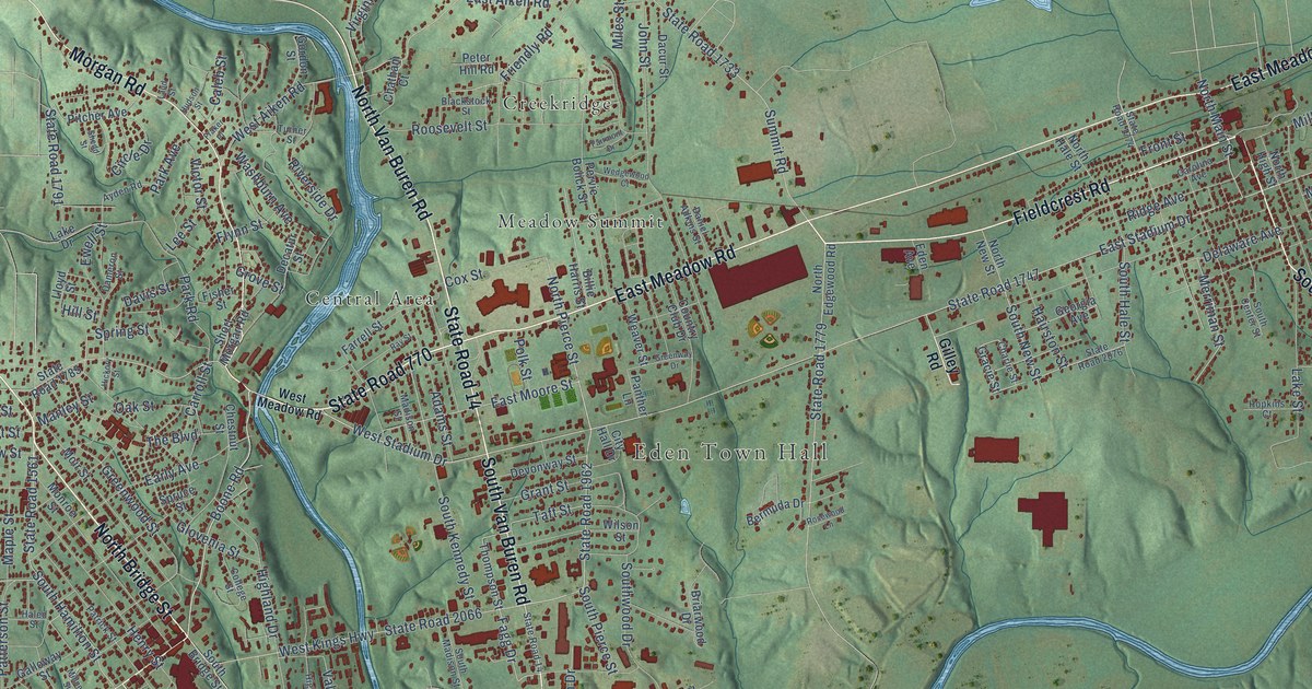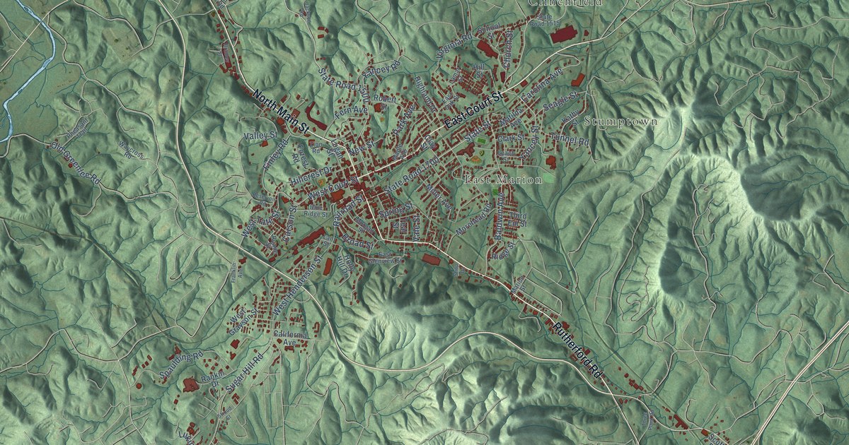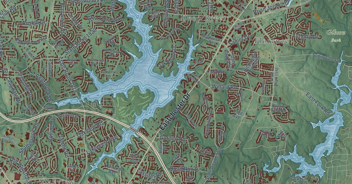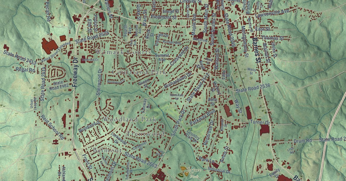
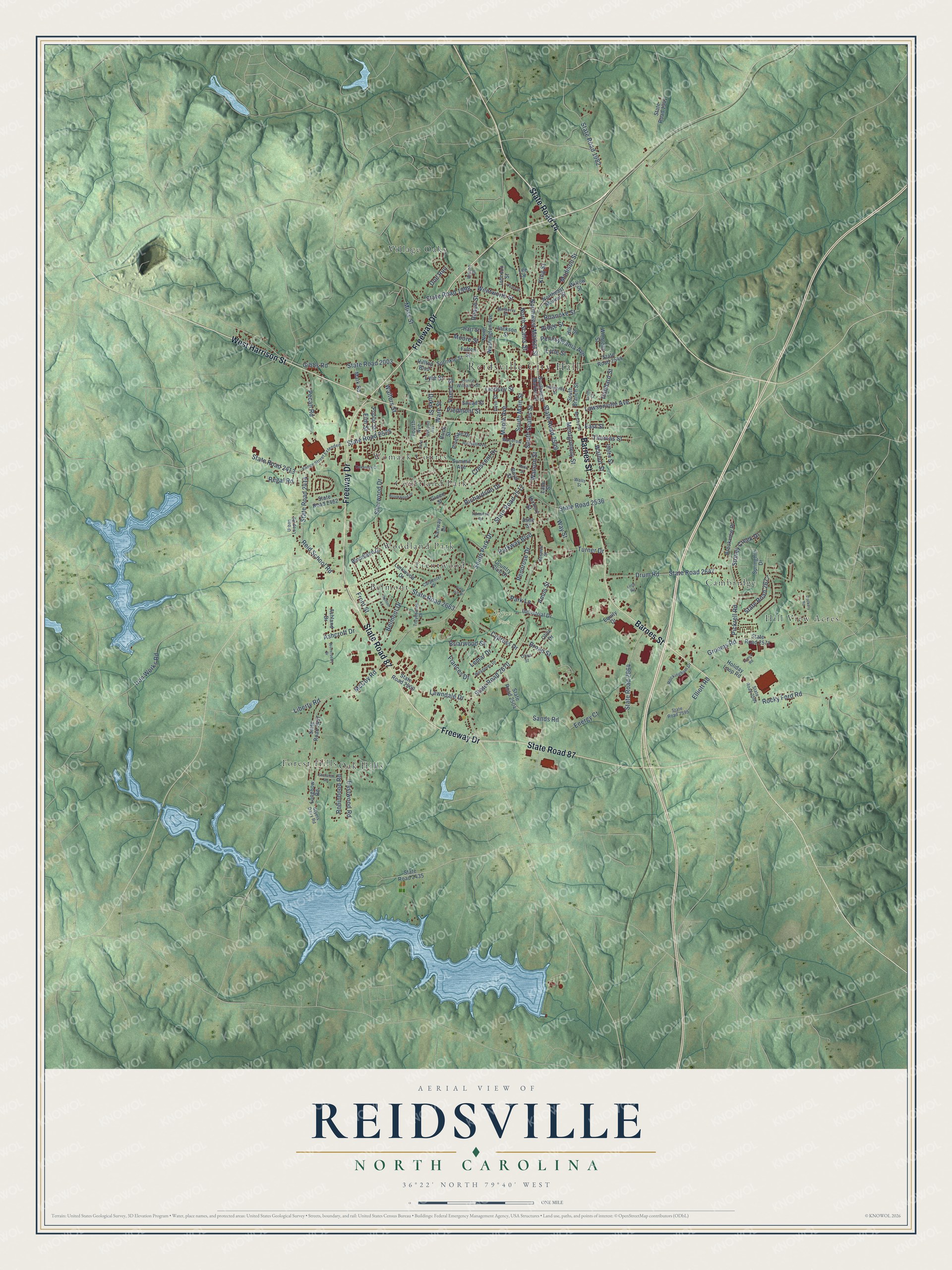
This beautifully detailed map of Reidsville, North Carolina was created in 2026 using aerial imagery combined with modern topographical, census, street and landmark data. It's a modern aerial view of Reidsville in Rockingham County, North Carolina, that combines modern data with a vintage aesthetic. The roads feature printed names, and if you look closely you can find your exact house accurately shown in its correct location.
Explore an aerial view of Reidsville, North Carolina
On this map you'll find Reidsville City Hall, Jaycee Park, Belmont, Cambridge, Courtland Park, Forest Hills, Hill View Acres, Oak Hills, Trentwood, Village Oaks, Womack Courts, Woodland Park, and more. Each red shape is a building, so zoom in on the preview and look for yours.
Reidsville has a story worth telling. The record at dncr.nc.gov puts it this way: "Following a funeral at Main Street Methodist Church in Reidsville Justice Sharp was buried alongside other family members in nearby Greenview Cemetery."
Reidsville is a city in Rockingham County. The Census Bureau counted 14,583 people here in 2020.
Take a closer look at the Reidsville map
Names on this map
These names are printed on this map.
Places: Reidsville City Hall, Jaycee Park, Belmont, Cambridge, Courtland Park, Forest Hills, Hill View Acres, Oak Hills, Trentwood, Village Oaks, Womack Courts and Woodland Park.
Streets and roads: West Harrison Street, Barnes Street, State Road 14, Freeway Drive, State Road 87, State Road 2549, Lawsonville Avenue, South Scales Street, Northwest Market Street, Way Street, Duke Street, South Park Drive.
More street names, A to Z
Acme Street, Amos Street, Ashcroft Drive, Ashe Street, Ashland Drive, Belmont Drive, Benton Lane, Boyd Street, Briarwood Street, Brick Street, Broad Street, Brookview Drive, Brookwood Drive, Carpenter Drive, Country Club Drive, Crescent Drive, Cypress Drive, Dockery Road, Doe Run, Drum Road, East Street, Eastwood Road, Elliott Road, Elm Street, Energy Court, Equity Drive, Fairway Drive, Fourth Avenue, Frances Drive, Front Street, Fulton Street, Gibbs Road, Green Street, Grooms Road, Hart Street, Hickory Street, Hill Street, Hilltop Boulevard, Holderby Street, Holiday Loop Road, Hubbard Street, Huntsdale Road, Industrial Drive, Iron Works Road, Irvin Street, Jackson Street, Johnson Street, King Street, Lane Street, Larkwood Drive, Lawndale Drive, Lee Circle, Lemar Drive, Liberty Road, Lindsey Street, Little Road, Longbow Road, Lyle Street, Lytle Street, Madison Street, Maple Avenue, Mark Road, McCoy Road, McCoy Street, Montgomery Street, Moore Street, Moss Street, Mulberry Street, Northeast Market Street, North Scales Street, North Washington Avenue, Oakbrook Court, Olive Drive, Olive Street, Park Lane, Parkway Boulevard, Pecan Road, Pennrose Drive, Pennsylvania Avenue, Pickrell Road, Piedmont Street, Pinedale Drive, Pine Hill Drive, Poplar Street, Prince Williams Street, Redd Street, Regal Road, Reid School Road, Richardson Drive, Ridge Street, Roach Street, Roanoke Street, Robinhood Road, Rockingham Drive, Rocky Ford Road, Roswell Street, Russell Avenue, Sands Circle, Sands Road, Second Avenue, Sheraton Road, Sherwood Drive, Snead Street, South Branch Street, South Main Street, Southwest Market Street, Springhill Drive, Sprinkle Street, State Road 1941, State Road 1982, State Road 1998, State Road 2003, State Road 2413, State Road 2414, State Road 2435, State Road 2437, State Road 2462, State Road 2500, State Road 2504, State Road 2512, State Road 2525, State Road 2536, State Road 2544, State Road 2571, State Road 2594, State Road 2595, State Road 2647, State Road 2663, State Road 2664, State Road 2670, State Road 2677, Stoney Creek Drive, Styers Dairy Road, Summit Avenue, Tamco Road, Third Avenue, Thomas Street, Treybourne Drive, Turner Drive, Uhles Street, Urban Loop Road, Vance Street, Vance Street Extended, Walnut Street, Walters Street, Ware Street, Watson Street, Wells Street, Wentworth Street, Westover Drive, Willow Street, Wilson Street, Winstead Street, Winterberry Drive, Woodland Drive, Woodrow Street.
Created by KNOWOL in 2026. The buildings are small red shapes, the roads carry their printed names, and shaded relief shows the shape of the land. The title panel reads "AERIAL VIEW OF REIDSVILLE NORTH CAROLINA" with 36°22' NORTH 79°40' WEST.
It looks right in a kitchen, an office or a den, and it's a gift for anyone who grew up in Reidsville or moved away. Open the preview and find your street. See sizes and frames for the Reidsville map.