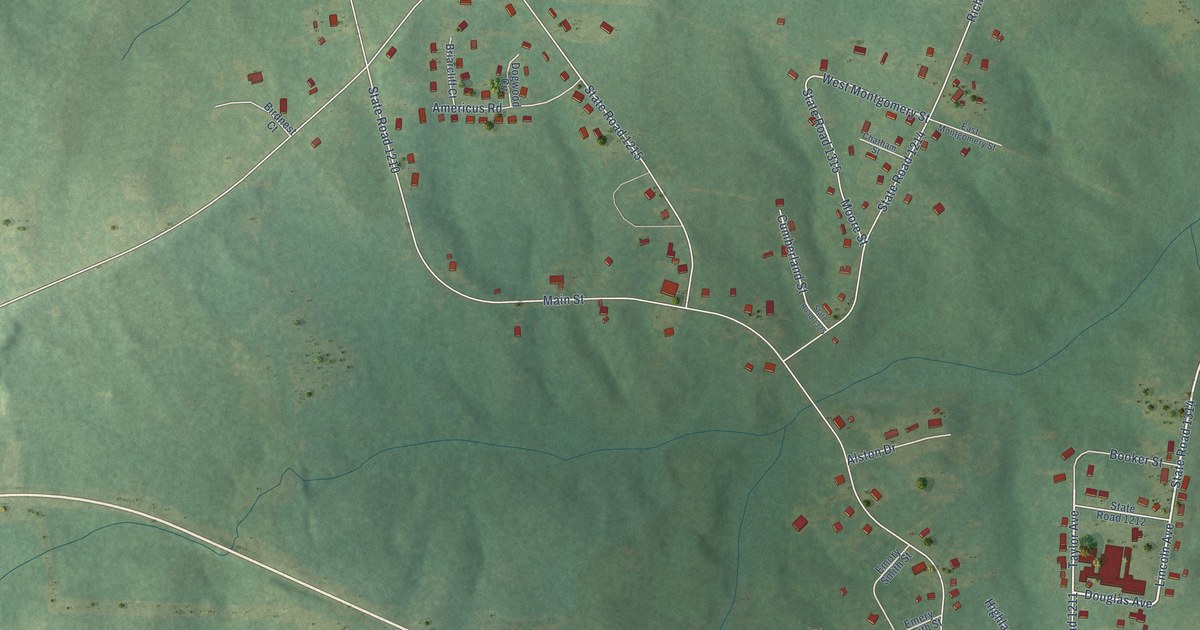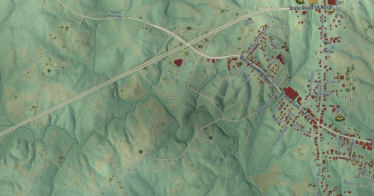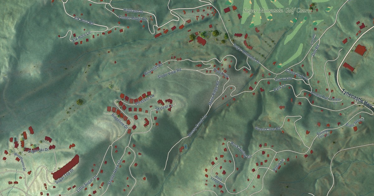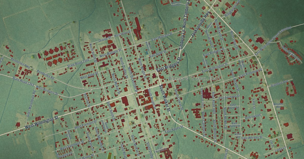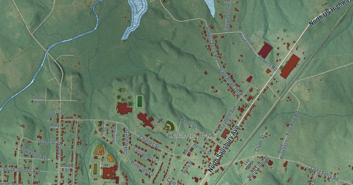
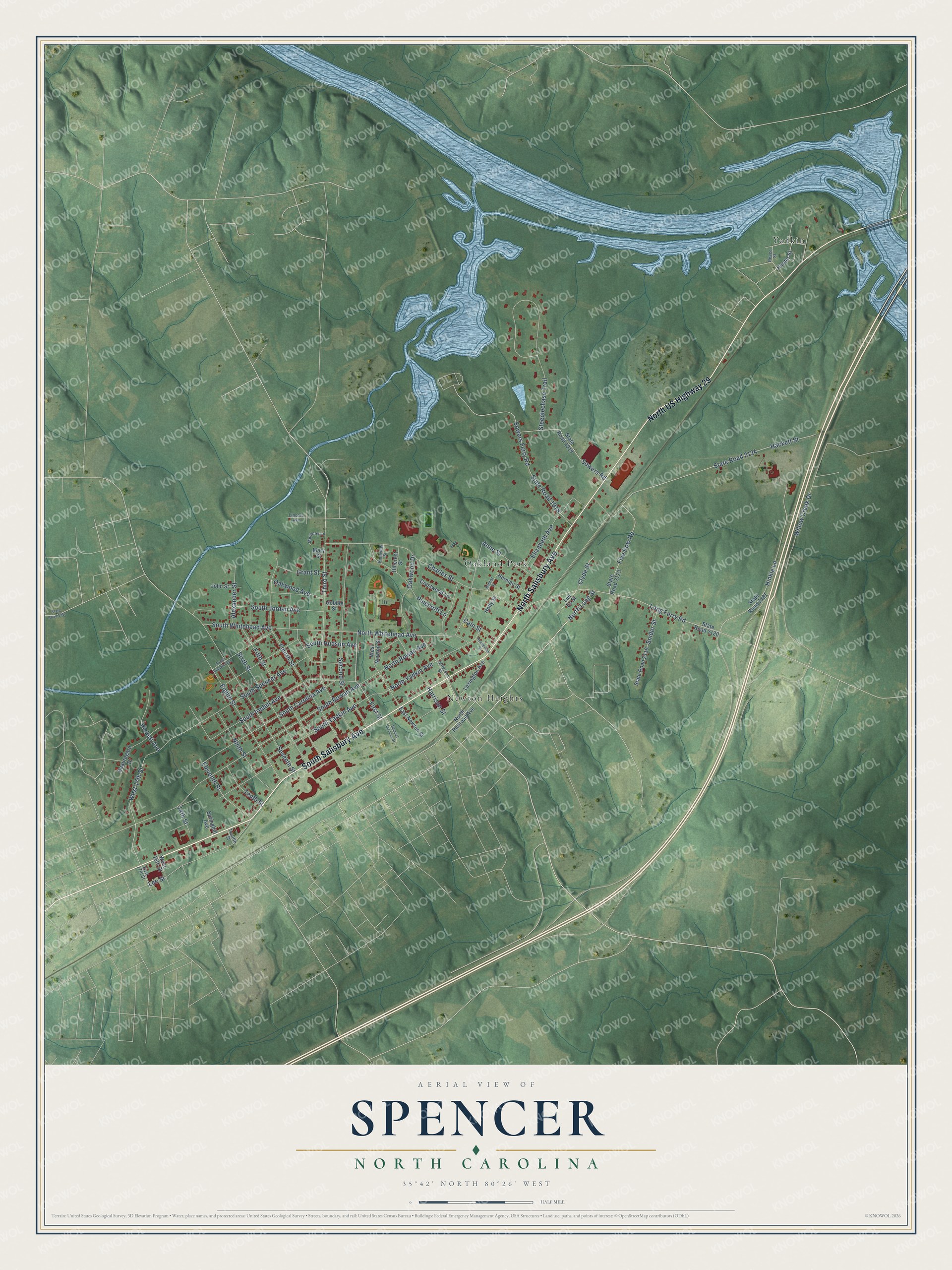
This beautifully detailed map of Spencer, North Carolina was created in 2026 using aerial imagery combined with modern topographical, census, street and landmark data. It's a modern aerial view of Spencer in Rowan County, North Carolina, that combines modern data with a vintage aesthetic. The roads feature printed names, and if you look closely you can find your exact house accurately shown in its correct location.
Explore an aerial view of Spencer, North Carolina
On this map you'll find Newton Heights, Oakland Park, Yadkin, South Salisbury Avenue, North Salisbury Avenue, North US Highway 29, North Long Street, First Street, North Whitehead Avenue, West 17th Street, Eleventh Street, South Rowan Avenue, and more. Each red shape is a building, so zoom in on the preview and look for yours.
Every town has a first chapter, and Spencer is no exception. The North Carolina Gazetteer puts it this way: "Spencer town in E Rowan County. Construction of shops for the Southern Railway was begun there in 1896. Inc. in 1901 and named for Samuel Spencer (1847-1906), president of Southern Railway."
Spencer is a town in Rowan County. The Census Bureau counted 3,308 people here in 2020.
Take a closer look at the Spencer map
Names on this map
These names are printed on this map.
Places: Newton Heights, Oakland Park and Yadkin.
Streets and roads: South Salisbury Avenue, North Salisbury Avenue, North US Highway 29, North Long Street, First Street, North Whitehead Avenue, West 17th Street, Eleventh Street, South Rowan Avenue, Lee Street, South Carolina Avenue, Willow Creek Drive.
More street names, A to Z
14th Street, Alexander Street, Anne Street, Baptist Street, Beauregard Drive, Cain Street, Charles Street, Clyde Street, Crestwood Lane, East 17th Street, East Newton Street, Eighth Street, Elizabeth Avenue, Fifth Street, Five Row Road, Fourth Street, Gobble Street, Grant Street, Hackett Street, Harrison Street, Henderson Street, Herman Street, Hillcrest Street, Hinkle Lane, Holly Street, Hunter Street, Jefferson Street, John Street, Lee Es Street, Lexington Avenue, Lincoln Avenue, Long Ferry Road, Mary Street, Meroney Lane, Ninth Street, North Railroad Avenue, North Rowan Avenue, North Yadkin Avenue, Oakwood Avenue, Oakwood Drive, Peace Street, Pickett Avenue, Pinecroft Lane, Pineview Street, Samuel Spencer Drive, Second Street, Seventh Street, Sixth Street, Snider Street, South Baldwin Avenue, South Hudson Avenue, South Iredell Avenue, South Jordan Avenue, South Spencer Avenue, South Whitehead Avenue, South Yadkin Avenue, Sowers Ferry Road, Sowers Road, Springhill Avenue, State Road 1912, State Road 1918, State Road 1919, State Road 2119, State Road 2120, State Road 2123, State Road 2124, State Road 2181, Steeplechase Trail, Tenth Street, Third Street, Twelfth Street, West 16th Street, West Newton Street.
Created by KNOWOL in 2026. The buildings are small red shapes, the roads carry their printed names, and shaded relief shows the shape of the land. The title panel reads "AERIAL VIEW OF SPENCER NORTH CAROLINA" with 35°42' NORTH 80°26' WEST.
Hang it in the hallway, the office or the cabin, or give it to someone who left Spencer and still calls it home. Open the preview and look for a street you know. See sizes and frames for the Spencer map.