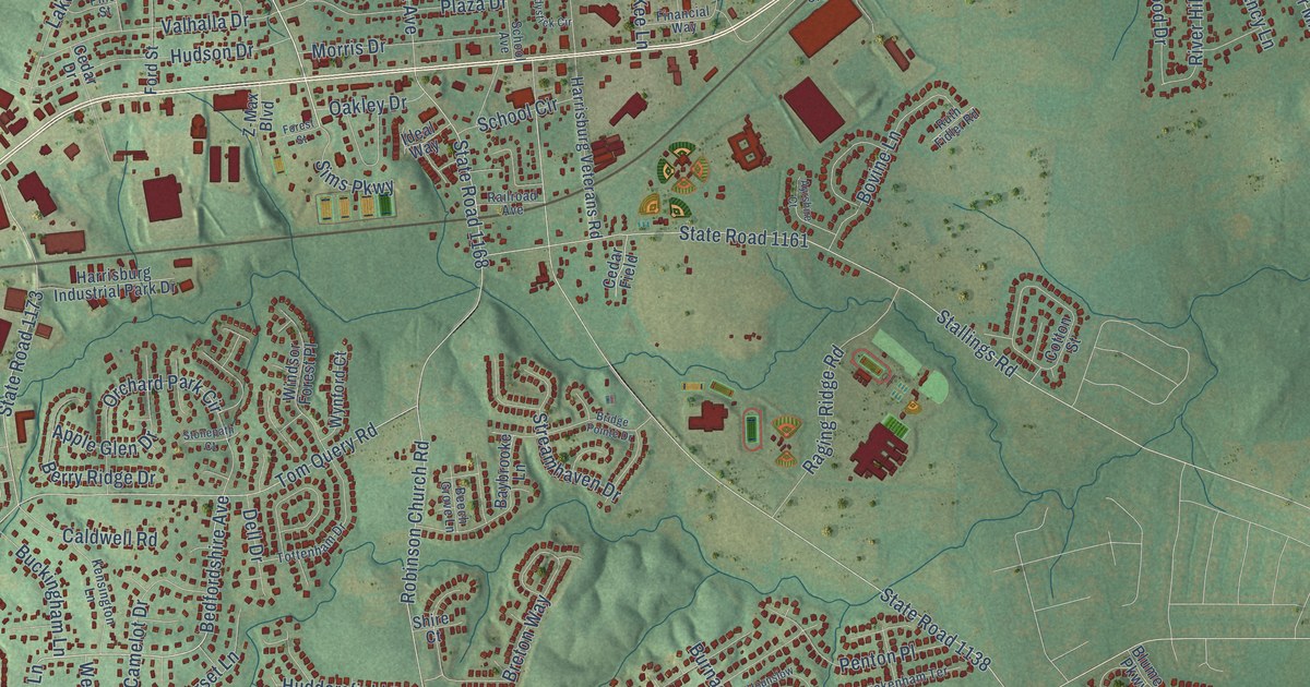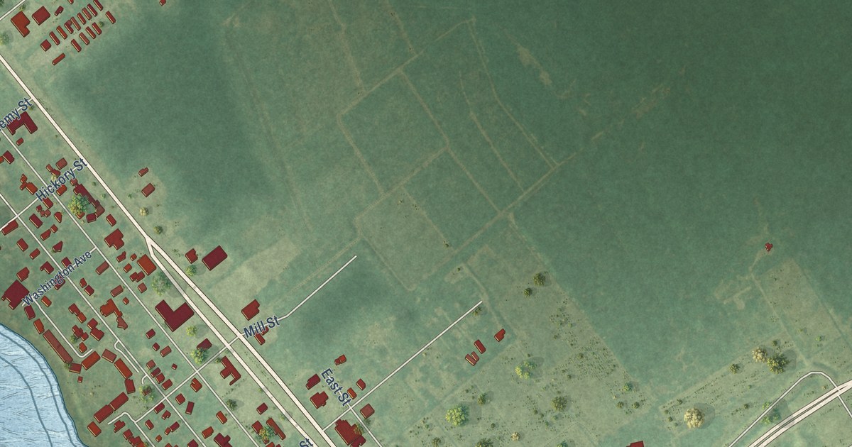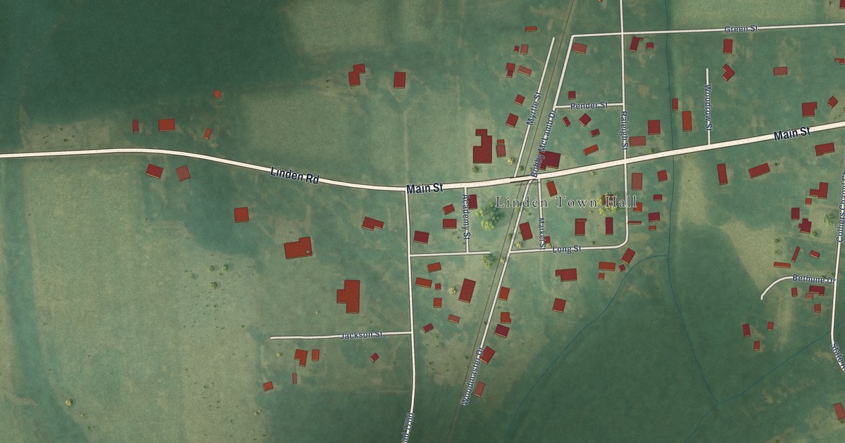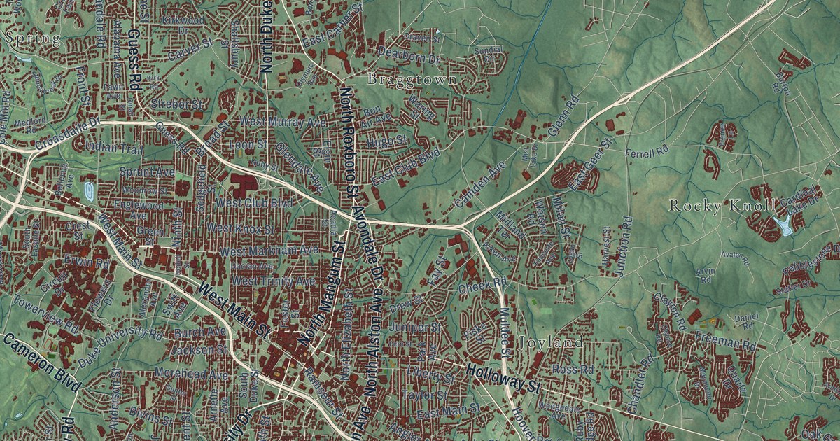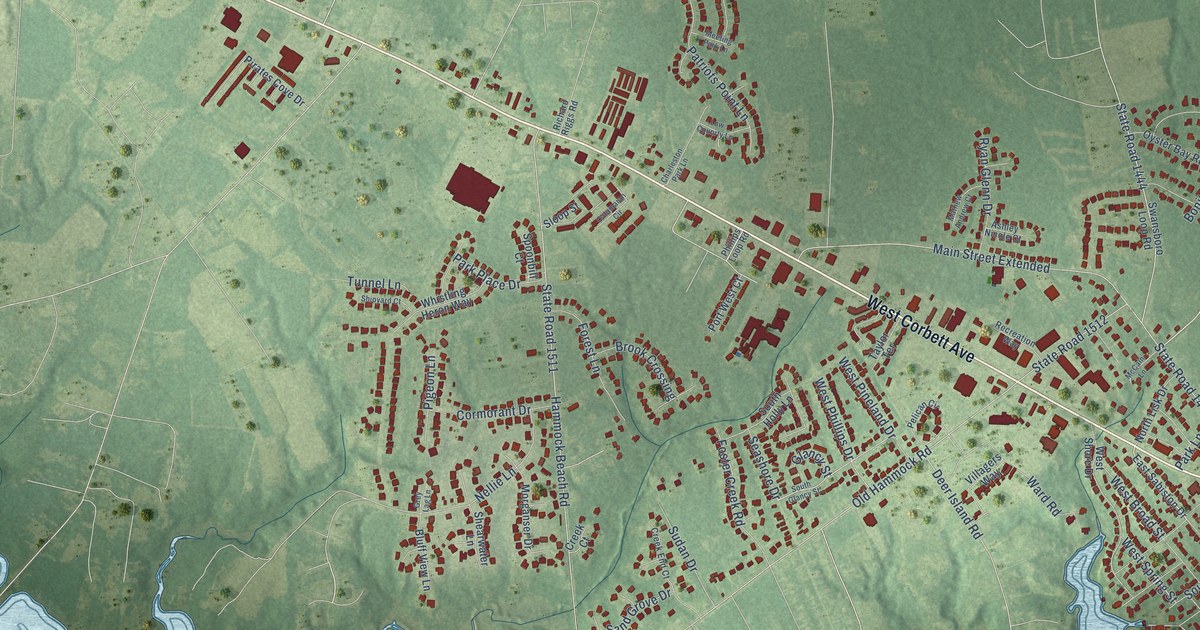
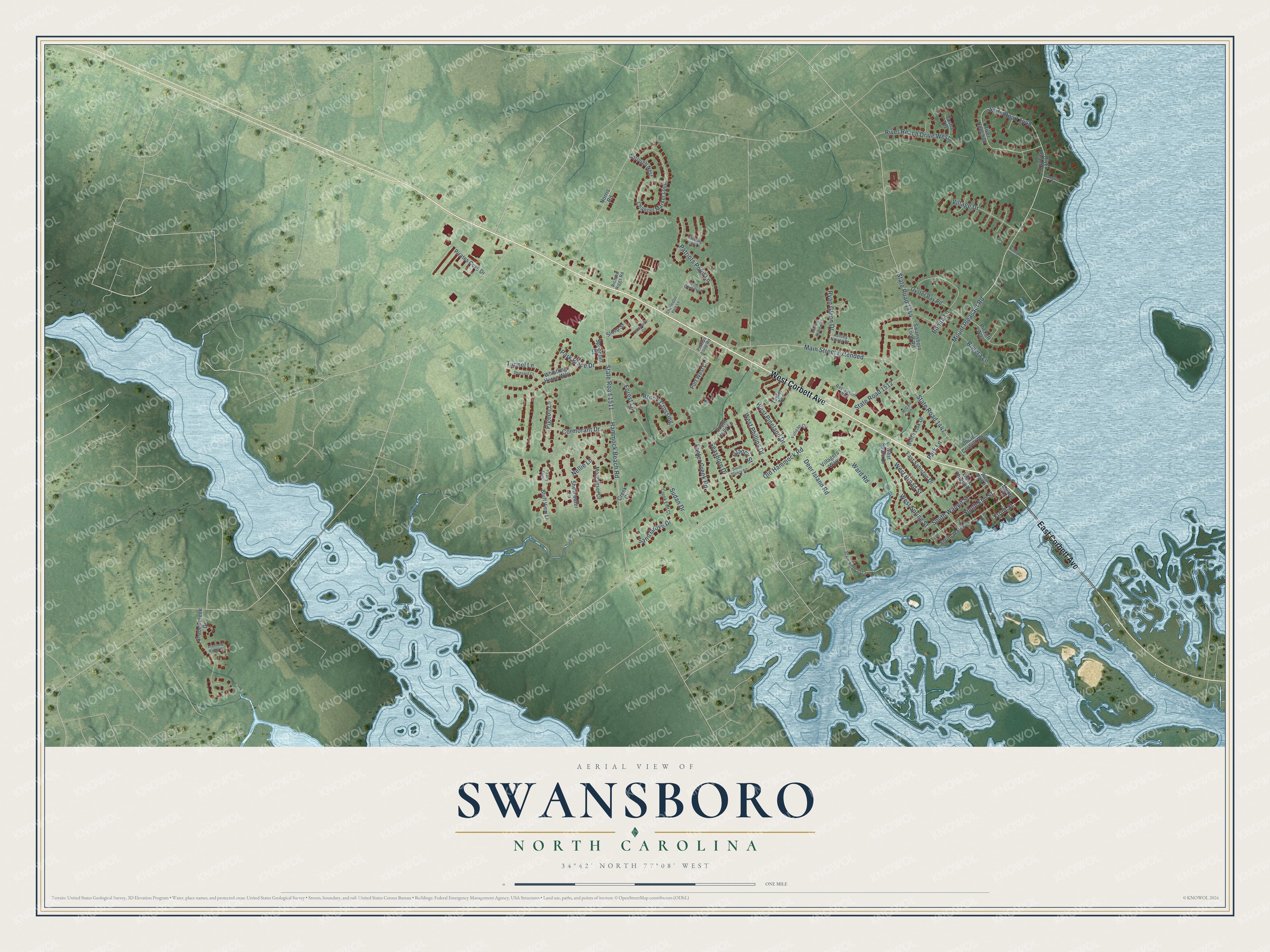
This beautifully detailed map of Swansboro, North Carolina was created in 2026 using aerial imagery combined with modern topographical, census, street and landmark data. It's a modern aerial view of Swansboro in Onslow County, North Carolina, that combines modern data with a vintage aesthetic. The roads feature printed names, and if you look closely you can find your exact house accurately shown in its correct location.
Explore an aerial view of Swansboro, North Carolina
On this map you'll find West Corbett Avenue, East Corbett Avenue, Mount Pleasant Road, Front Street, State Road 1447, Main Street Extended, State Road 1448, Old Hammock Road, State Road 1512, Hammock Beach Road, State Road 1511, State Road 1444, and more. Each red shape is a building, so zoom in on the preview and look for yours.
Here is a piece of Swansboro history, in the words of the record. The record at dncr.nc.gov puts it this way: "Another statue to his memory stands in Swansboro, the town of Otway in Carteret County is named for him, and his portrait is in the North Carolina Museum of History in Raleigh."
Swansboro is a town in Onslow County. The Census Bureau counted 3,744 people here in 2020.
Take a closer look at the Swansboro map
Names on this map
These names are printed on this map.
Streets and roads: West Corbett Avenue, East Corbett Avenue, Mount Pleasant Road, Front Street, State Road 1447, Main Street Extended, State Road 1448, Old Hammock Road, State Road 1512, Hammock Beach Road, State Road 1511, State Road 1444.
More street names, A to Z
Ashley Nicole Court, Bluff View Lane, Bonita Lane, Borough Nest, Brook Crossing, Catamaran Circle, Channel Marker Loop, Charleston Park Lane, Cormorant Drive, Creek Court, Creek End Court, Deer Island Road, Diamond Ridge Court, Doctor Corbett Road, Drudy Lane, East Sabiston Drive, Forest Lane, Foster Creek Road, Glancy Street, Grey Lag Lane, Hilltop Drive, Low Counrty Lane, Mathew Andrew Court, McCain Lane, Meeting Park Lane, Moore Street, Morganser Drive, Nellie Lane, Norris Road, North Lisk Drive, Oyster Bay Road, Park Lane, Park Place Drive, Patriots Point Lane, Pelican Circle, Phillips Loop Road, Pickett Way, Pigeon Lane, Pirates Cove Drive, Port West Court, Recreation Way, Richard Riggs Road, River Beach Drive, River Reach Drive, River Reach Drive West, Riviera Lane, Ryan Glenn Drive, Sand Grove Drive, Seagate Lane, Seashore Drive, Shadowcreek Drive, Shearwater Lane, Shipyard Court, Sloop Street, South Elm Street, South Glancy Street, South Holly Lane, South Walnut Street, South Water Street, Spoonbill Court, State Road 1513, Sudan Drive, Swansboro Loop Road, Tasha Terrace, Taylor Terrace, Tunnel Lane, Village Drive, Villagers Way, Ward Road, West Broad Street, West Church Street, West Main Street, West Phillips Drive, West Pineland Drive, West Shore Drive, West Spring Street, Whistling Heron Way.
Created by KNOWOL in 2026. The buildings are small red shapes, the roads carry their printed names, and shaded relief shows the shape of the land. The title panel reads "AERIAL VIEW OF SWANSBORO NORTH CAROLINA" with 34°42' NORTH 77°08' WEST.
It suits a den, a classroom or a front hall, and it makes a gift for anyone with Swansboro roots. Open the preview and find the block you know. See sizes and frames for the Swansboro map.