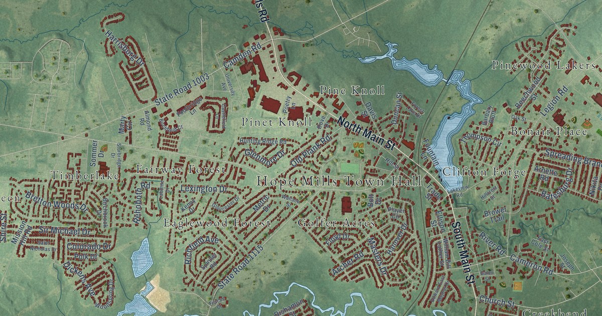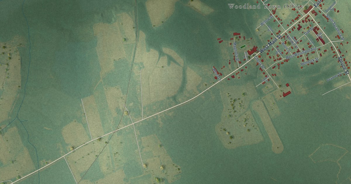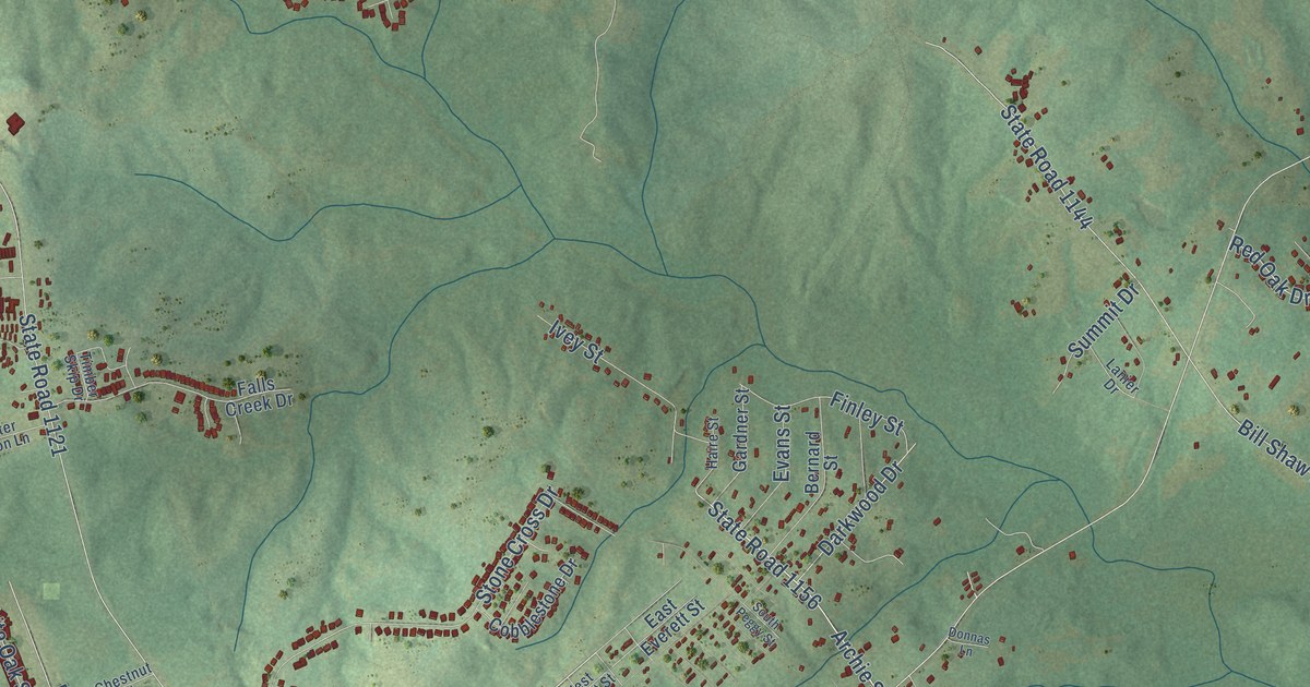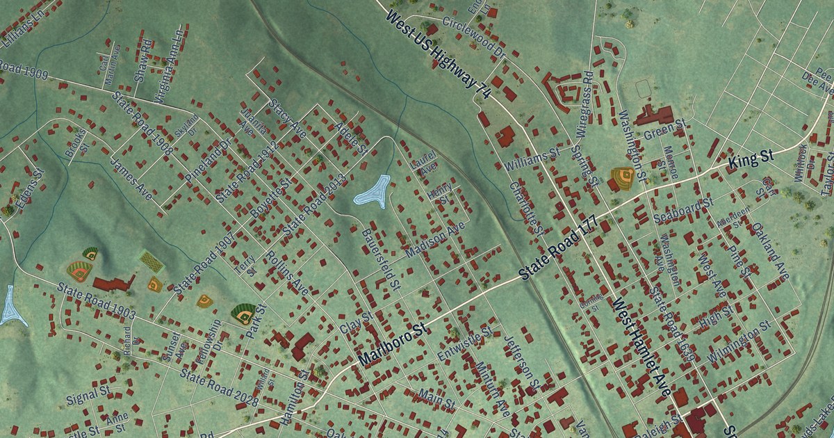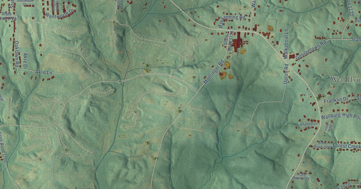
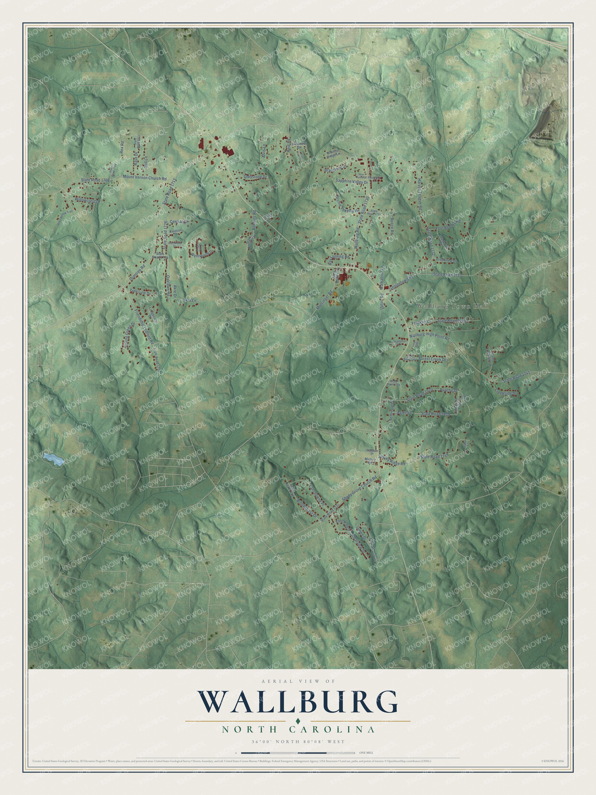
This beautifully detailed map of Wallburg, North Carolina was created in 2026 using aerial imagery combined with modern topographical, census, street and landmark data. It's a modern aerial view of Wallburg in Davidson County, North Carolina, that combines modern data with a vintage aesthetic. The roads feature printed names, and if you look closely you can find your exact house accurately shown in its correct location.
Explore an aerial view of Wallburg, North Carolina
On this map you'll find Wallburg Town Hall, Gumtree Road, State Road 1711, Harvey Teague Road, State Road 1732, Friendship Ledford Road, Mount Vernon Church Road, State Road 1708, State Road 1730, Wallburg Road, State Road 1741, Wallburg-High Point Road, and more. Each red shape is a building, so zoom in on the preview and look for yours.
Wallburg has a story worth telling. The Town of Wallburg puts it this way: "Samuel served the people of the state for over twenty years, and the community which grew up around his farm and shop at the turn of the century was named Wallburg."
Wallburg is a town in Davidson County. The Census Bureau counted 3,051 people here in 2020.
Take a closer look at the Wallburg map
Names on this map
These names are printed on this map.
Places: Wallburg Town Hall.
Streets and roads: Gumtree Road, State Road 1711, Harvey Teague Road, State Road 1732, Friendship Ledford Road, Mount Vernon Church Road, State Road 1708, State Road 1730, Wallburg Road, State Road 1741, Wallburg-High Point Road, Georgetown Road.
More street names, A to Z
Akre Drive, Akre Lane, Alvis Lane, Apache Drive, Archie Yokeley Road, Aztec Drive, Bradstone Drive, Brookforest Drive, Brookview Drive, Central Drive, Charleston Drive, Clearview Drive, Cleta Lane, Comanche Trail, Creekside Drive, Davidson Drive, Dell Lane, Eastview Drive, Eden Park Drive, Fieldcrest Court, Forest Creek Drive, Four Brooks Road, Franklin Drive, Glenwood Drive, Granite Ridge Lane, Green Drive, Greystone Drive, Haymore Drive, Indigo Ridge, Lansdowne Place, Lodgecrest Drive, Mickey Road, Motsinger Road, North Creekside Drive, Oaklawn Road, Oak Street, Overbrook Drive, Pearl Valley Lane, Quail Hollow Trail, Raye Drive, Ray Lanning Road, Reece Road, Reid Road, Rex Road, Robbins Road, Rolling Green Drive, Sapphire Valley Drive, Seminole Drive, Shady Grove Church Road, Shell Lane, State Road 1700, State Road 1709, State Road 1723, State Road 1724, State Road 1725, State Road 1726, State Road 1731, State Road 1733, State Road 1748, State Road 1749, State Road 1751, State Road 1752, State Road 1857, State Road 1917, State Road 1928, State Road 1970, State Road 2923, State Road 2951, State Road 2959, Staton Lane, Stoney Ridge Road, Tree Line Drive, Upton Road, Walkabout Lane, Wentworth Drive, Willowcrest Drive, Winged Foot Court.
Created by KNOWOL in 2026. The buildings are small red shapes, the roads carry their printed names, and shaded relief shows the shape of the land. The title panel reads "AERIAL VIEW OF WALLBURG NORTH CAROLINA" with 36°00' NORTH 80°08' WEST.
It looks right in a kitchen, an office or a den, and it's a gift for anyone who grew up in Wallburg or moved away. Open the preview and find your street. See sizes and frames for the Wallburg map.