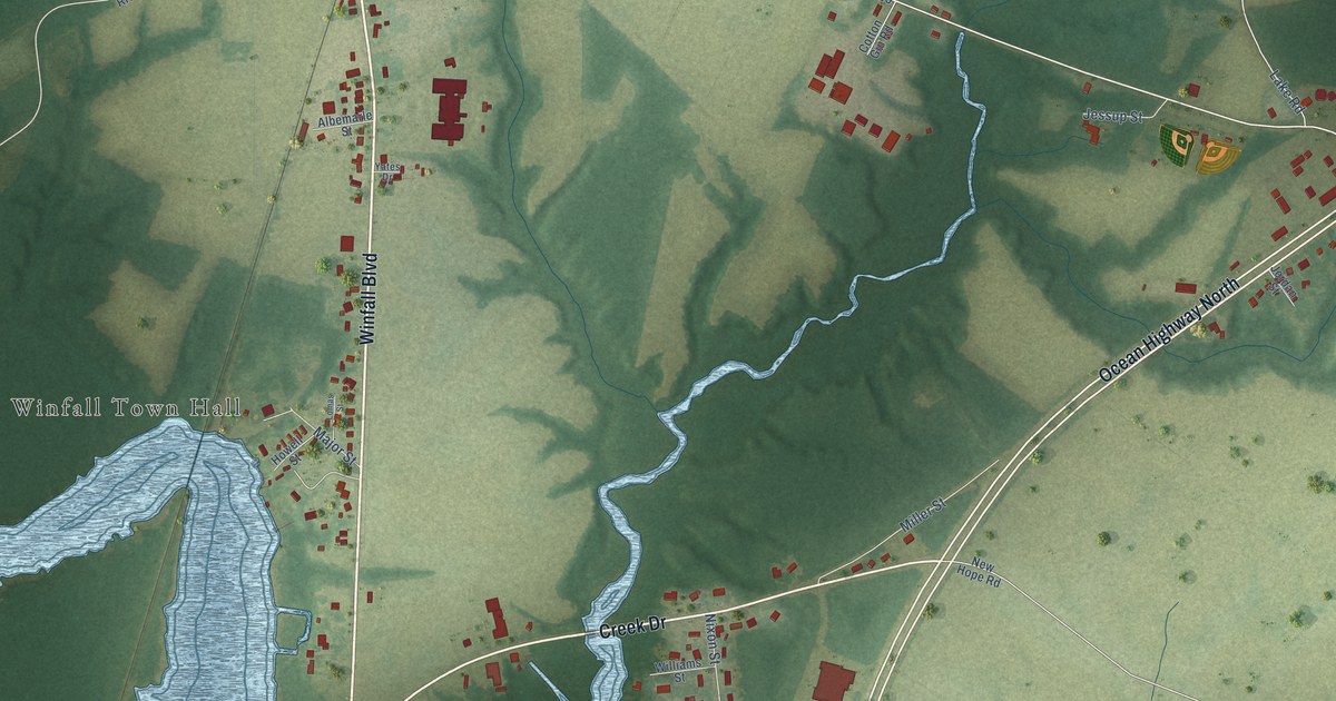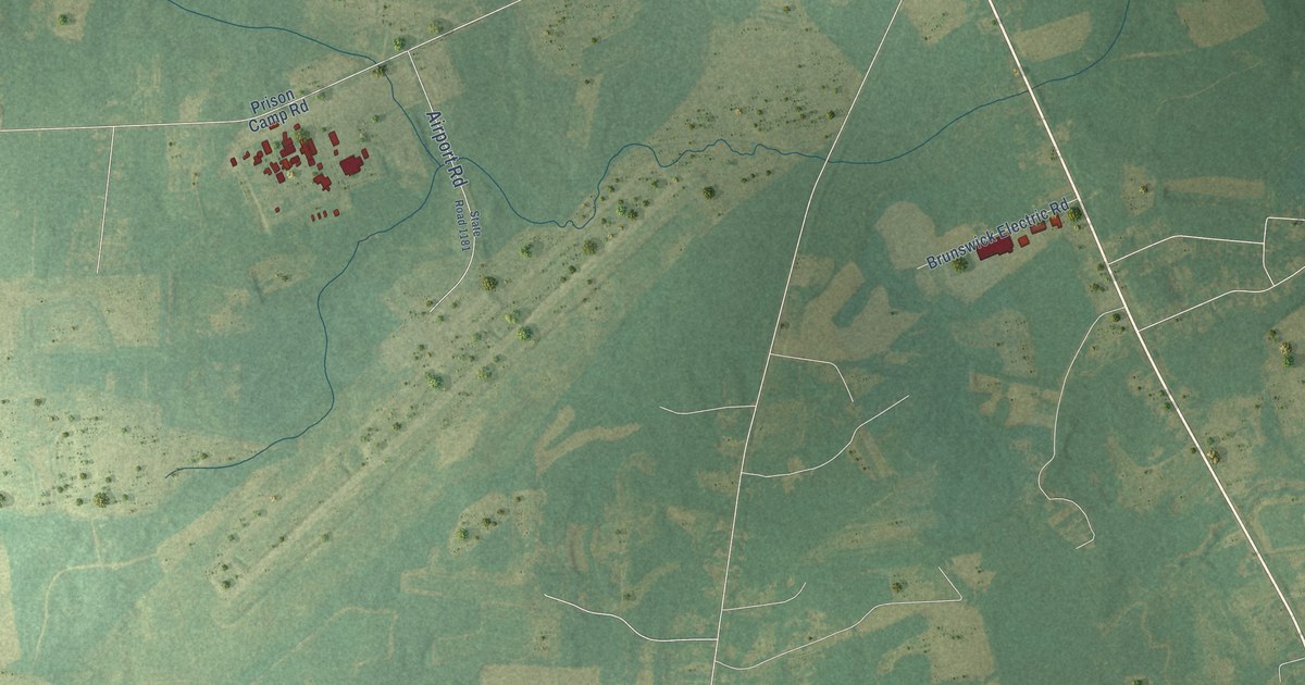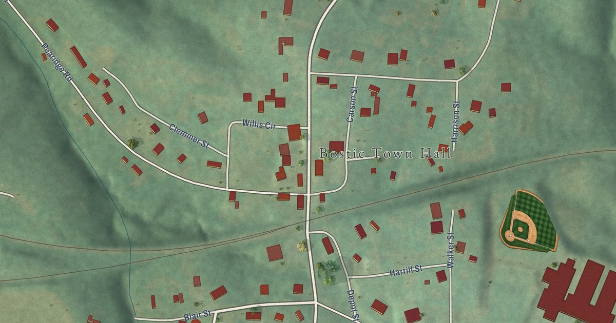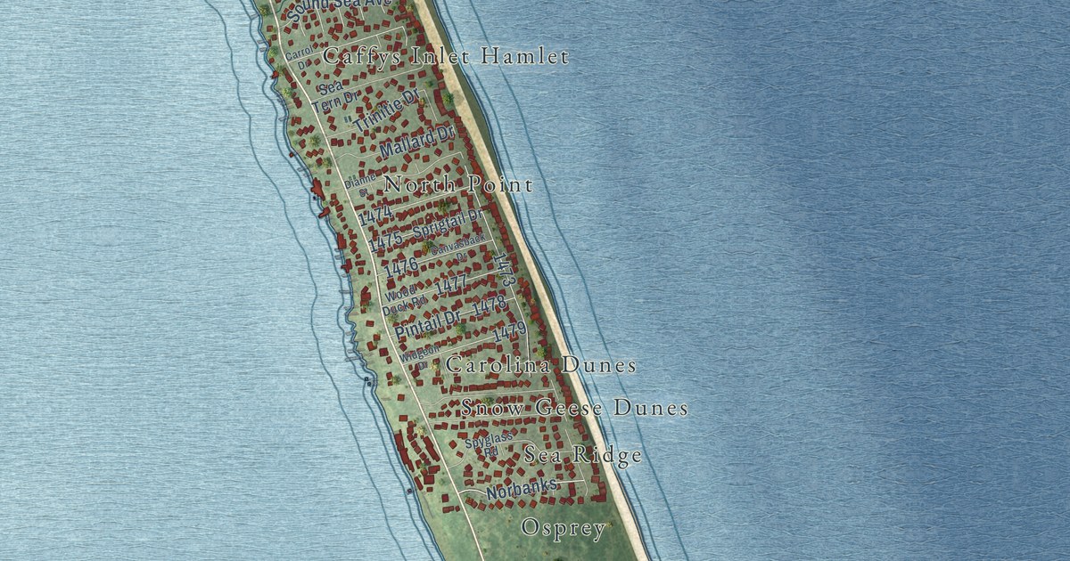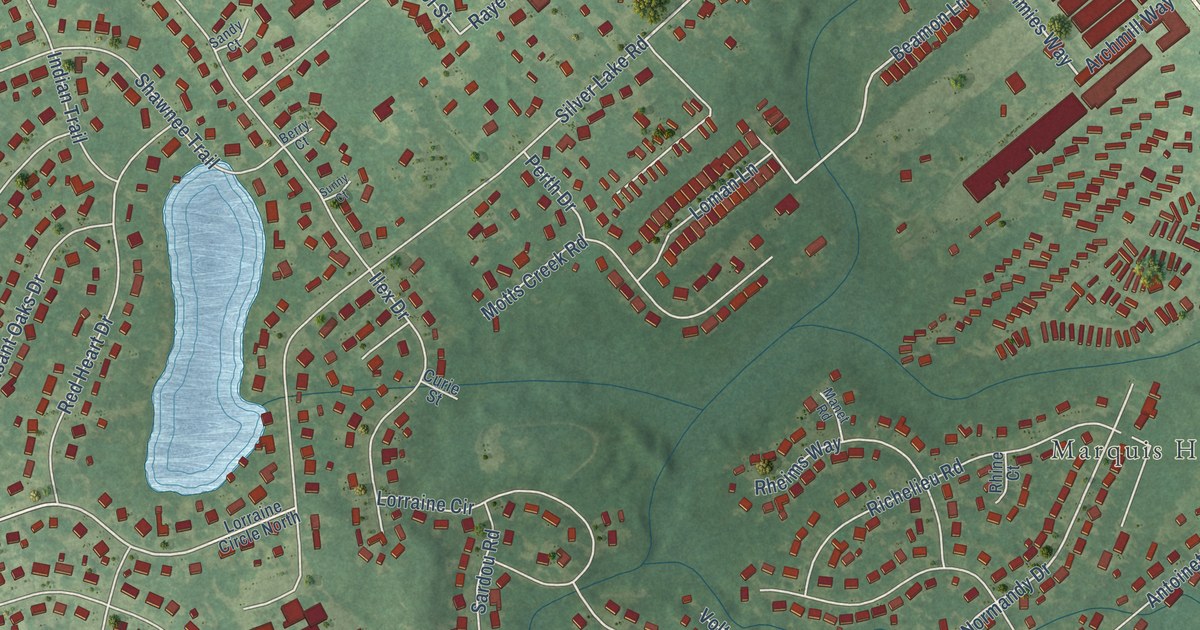
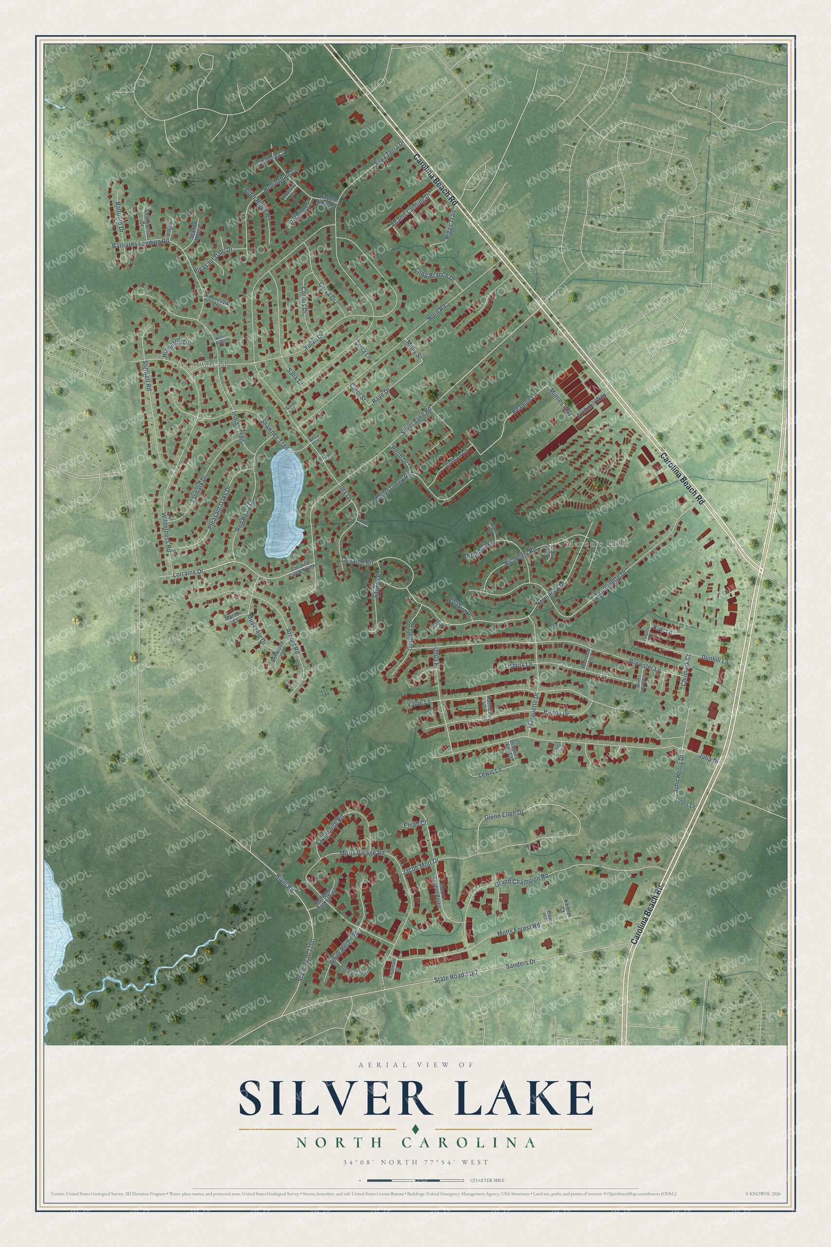
This beautifully detailed map of Silver Lake, North Carolina was created in 2026 using aerial imagery combined with modern topographical, census, street and landmark data. It's a modern aerial view of Silver Lake in New Hanover County, North Carolina, that combines modern data with a vintage aesthetic. The roads feature printed names, and if you look closely you can find your exact house accurately shown in its correct location.
Explore an aerial view of Silver Lake, North Carolina
On this map you'll find Arrowhead, Marquis Hills, Carolina Beach Road, Lorraine Drive, Silver Lake Road, Mimies Way, Glenn Ellen Drive, Beamon Lane, Normandy Drive, Raye Drive, Ilex Drive, Sanders Drive, and more. Each red shape is a building, so zoom in on the preview and look for yours.
Silver Lake is a community in New Hanover County. The Census Bureau counted 6,500 people here in 2020. The map prints the town name in its title panel, with the coordinates below it.
Take a closer look at the Silver Lake map
Names on this map
These names are printed on this map.
Places: Arrowhead and Marquis Hills.
Streets and roads: Carolina Beach Road, Lorraine Drive, Silver Lake Road, Mimies Way, Glenn Ellen Drive, Beamon Lane, Normandy Drive, Raye Drive, Ilex Drive, Sanders Drive, State Road 1187, Motts Village Road.
More street names, A to Z
Adams Landing Drive, Alder Ridge Road, Antoinette Drive, Archmill Way, Arnold Road, Balfoure Drive, Barnards Landing Road, Bellamy Parke Way, Bellwood Court, Berry Court, Breeland Court, Brewster Lane, Carol Street, Carya Drive, Childers Court, Chilmark Court, Cornus Drive, Curie Street, Delham Court, Dragons Eye Court, Dunhill Lane, Elijah Court, Ethan Court, Fayemarsh Road, Fayemont Court, Gerome Place, Grand Champion Road, Hanna Drive, Hedingham Lane, Hiawatha Drive, Horn Road, Hugo Court, Indian Trail, Jacob Mott Drive, John Henry Drive, Julia Drive, Kathleen Drive, Keenan Court, Kennesaw Court, Kiwi Lane, Lewis Lane, Linden Ridge Road, Lobos Lane, Loman Lane, Long Branch Drive, Lorraine Circle, Lorraine Circle North, Manet Road, Manteo Court, Marquette Drive, Milby Street, Motts Creek Road, Motts Forest Road, Mount Carmel Parke, Musevale Drive, New Wales Parke, Onyx Court, Perth Drive, Pleasant Dale Drive, Pleasant Oaks Drive, Red Heart Drive, Rheims Way, Rhine Court, Richelieu Road, Riggs Trail, Rimrock Lane, River Road, Salix Drive, Sandy Court, Sardou Road, Shadow Moss Court, Shallowford Drive, Shawnee Trail, Silva Terra Drive, State Road 1100, Stillwell Road, Sunny Court, Talamore Court, Tanbark Drive, Tangelo Drive, Terra Lane, Tisbury Lane, Ulloa Place, Vallie Lane, Voltaire Place, Walker Ridge Court, West Chop Way, White Heron Road, Wilderness Road, Yulan Drive.
Created by KNOWOL in 2026. The buildings are small red shapes, the roads carry their printed names, and shaded relief shows the shape of the land. The title panel reads "AERIAL VIEW OF SILVER LAKE NORTH CAROLINA" with 34°08' NORTH 77°54' WEST.
It suits a den, a classroom or a front hall, and it makes a gift for anyone with Silver Lake roots. Open the preview and find the block you know. See sizes and frames for the Silver Lake map.