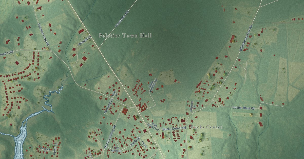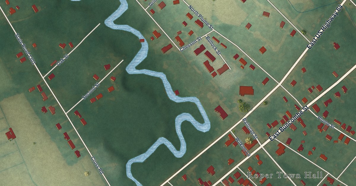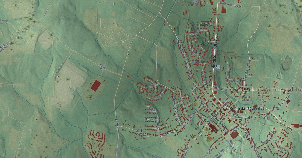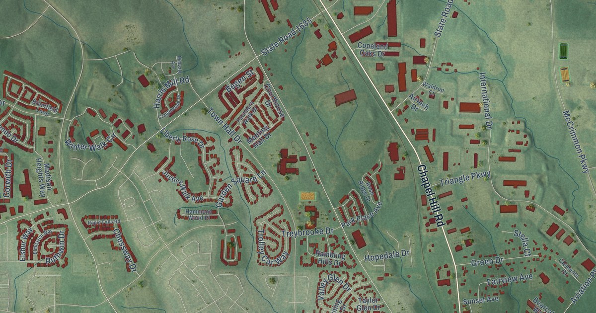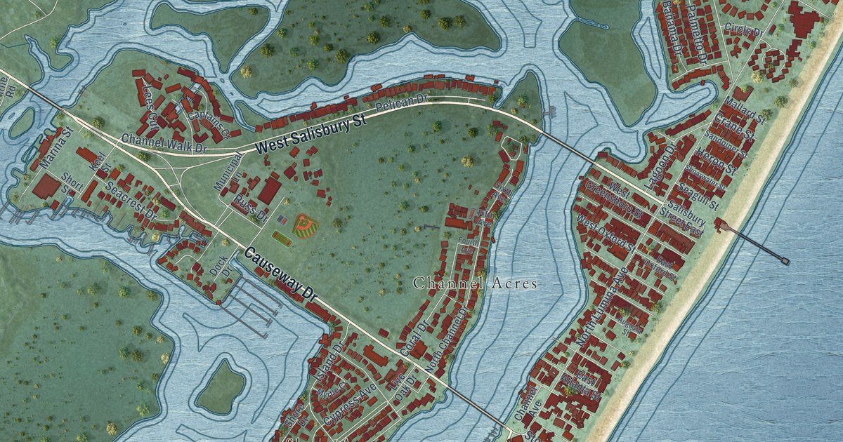
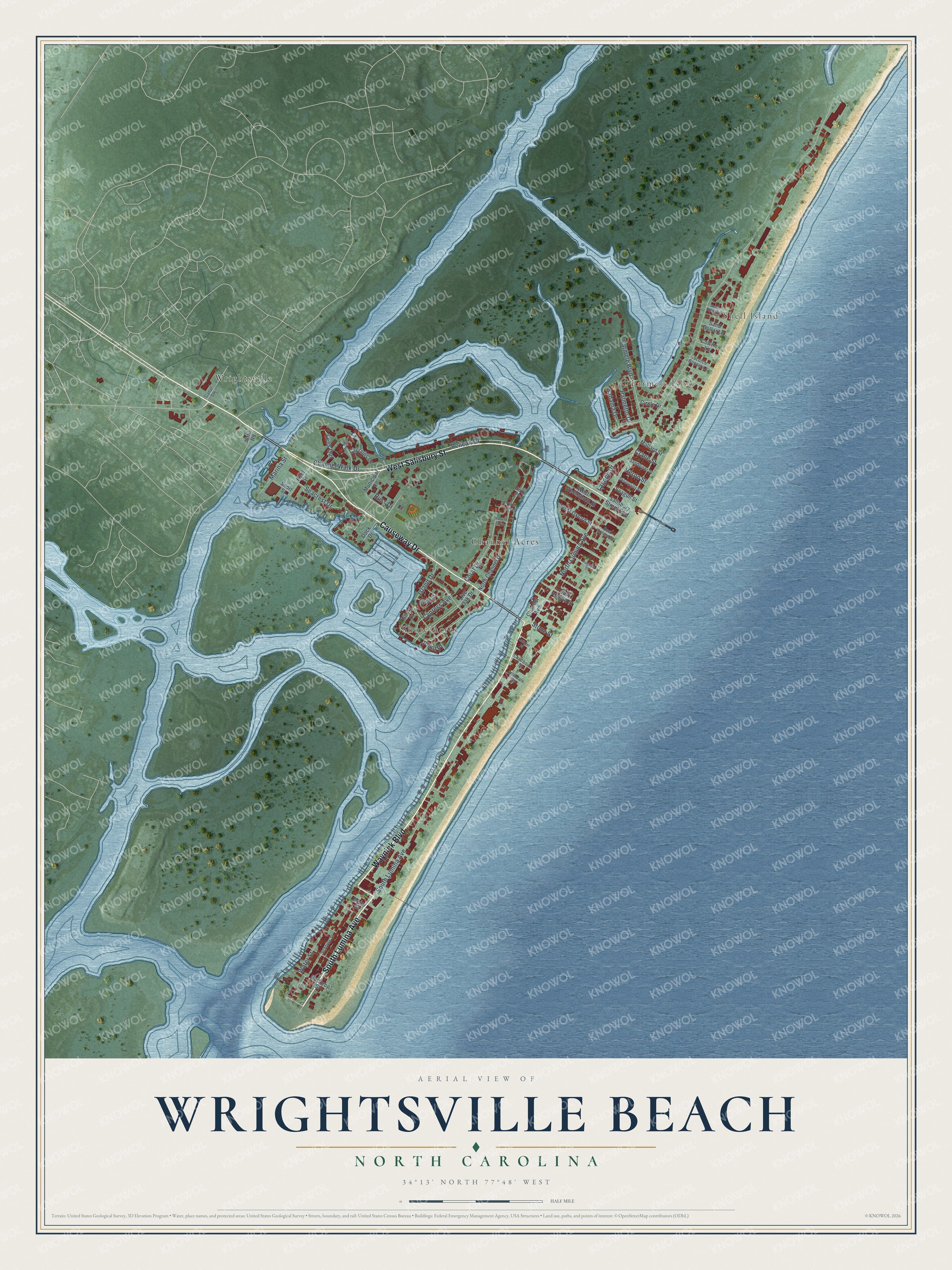
This beautifully detailed map of Wrightsville Beach, North Carolina was created in 2026 using aerial imagery combined with modern topographical, census, street and landmark data. It's a modern aerial view of Wrightsville Beach in New Hanover County, North Carolina, that combines modern data with a vintage aesthetic. The roads feature printed names, and if you look closely you can find your exact house accurately shown in its correct location.
Explore an aerial view of Wrightsville Beach, North Carolina
On this map you'll find Shell Island, Parmele Isles, Channel Acres, Shore Acres, Wrightsville, Waynick Boulevard, South Lumina Avenue, West Salisbury Street, Causeway Drive, Channel Walk Drive, Pelican Drive, North Lumina Avenue, and more. Each red shape is a building, so zoom in on the preview and look for yours.
Here is a piece of Wrightsville Beach history, in the words of the record. The record at dncr.nc.gov puts it this way: "Buren Sidbury (1886-1967) in 1920 to open Babies Hospital on the sound just across from Wrightsville Beach overlooking the Intracoastal Waterway."
Wrightsville Beach is a town in New Hanover County. The Census Bureau counted 2,473 people here in 2020.
Take a closer look at the Wrightsville Beach map
Names on this map
These names are printed on this map.
Places: Shell Island, Parmele Isles, Channel Acres, Shore Acres and Wrightsville.
Streets and roads: Waynick Boulevard, South Lumina Avenue, West Salisbury Street, Causeway Drive, Channel Walk Drive, Pelican Drive, North Lumina Avenue, Parmele Boulevard, Coral Drive, Water Street, Island Drive, Seacrest Drive.
More street names, A to Z
Airlie Road, Arrindale Street, Augusta Street, Bahama Drive, Canal Street, Captains Court, Chadbourn Street, Channel Avenue, Circle Drive, Cowrie Lane, Crane Street, Cypress Avenue, Dock Drive, East Atlanta Street, East Oxford Street, Fifth Avenue, Fourth Avenue, Heron Street, Keel Street, Lagoon Drive, Latimer Street, Lees Cut, Live Oak Drive, Mallard Street, Marina Street, Meier Street, Municipal Lane, Myrtle Court, North Channel Drive, Northrop Street, Palmetto Drive, Point Place, Russ Drive, Salisbury Street East, Sand Dollar Lane, Sandpiper Street, Schloss Street, Scotch Bonnet Lane, Seagull Street, Shearwater Street, Shore Drive, Short Street, Sixth Avenue, South Ridge Lane, Stone Street, West Greensboro Street, West Oxford Street.
Created by KNOWOL in 2026. The buildings are small red shapes, the roads carry their printed names, and shaded relief shows the shape of the land. The title panel reads "AERIAL VIEW OF WRIGHTSVILLE BEACH NORTH CAROLINA" with 34°13' NORTH 77°48' WEST.
It suits a den, a classroom or a front hall, and it makes a gift for anyone with Wrightsville Beach roots. Open the preview and find the block you know. See sizes and frames for the Wrightsville Beach map.