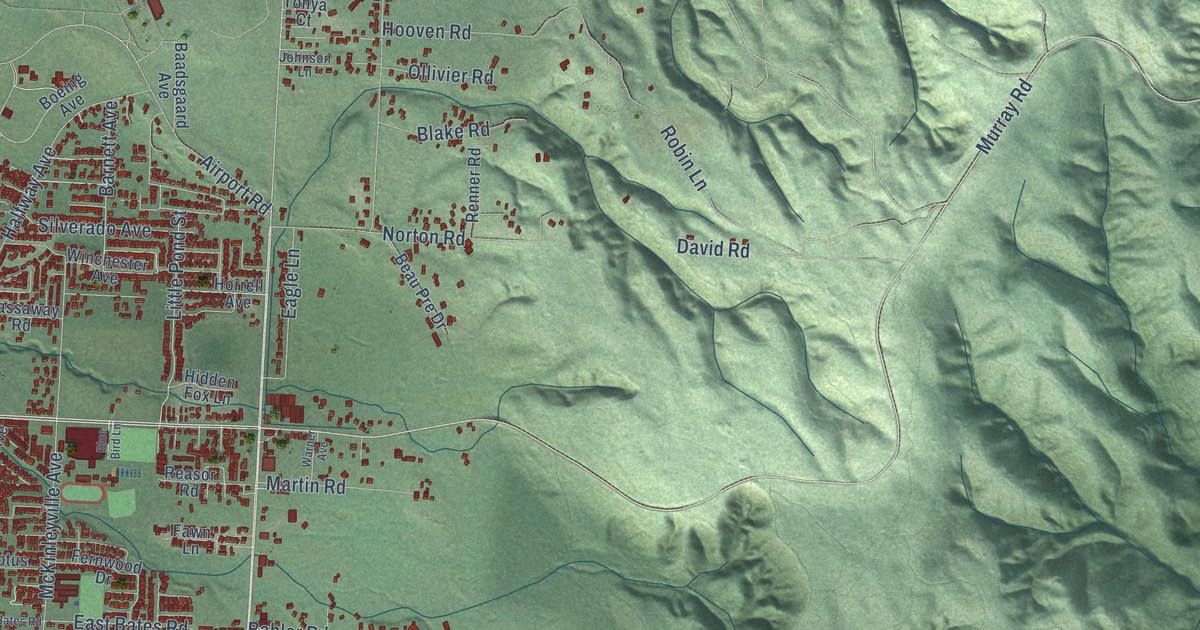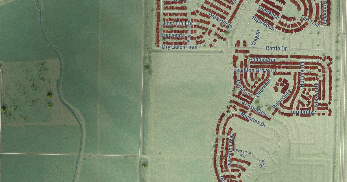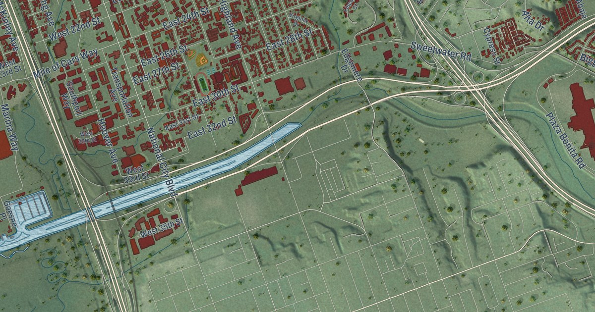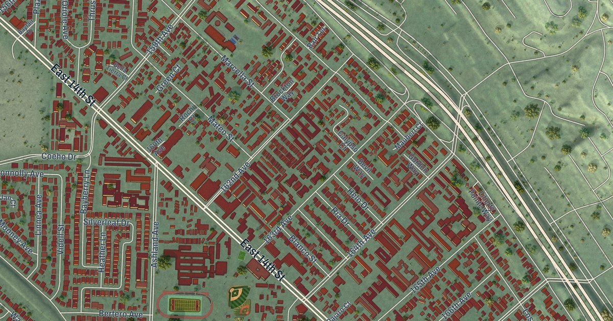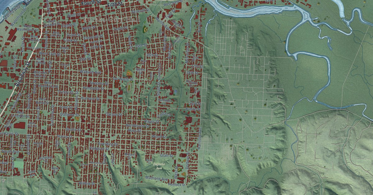
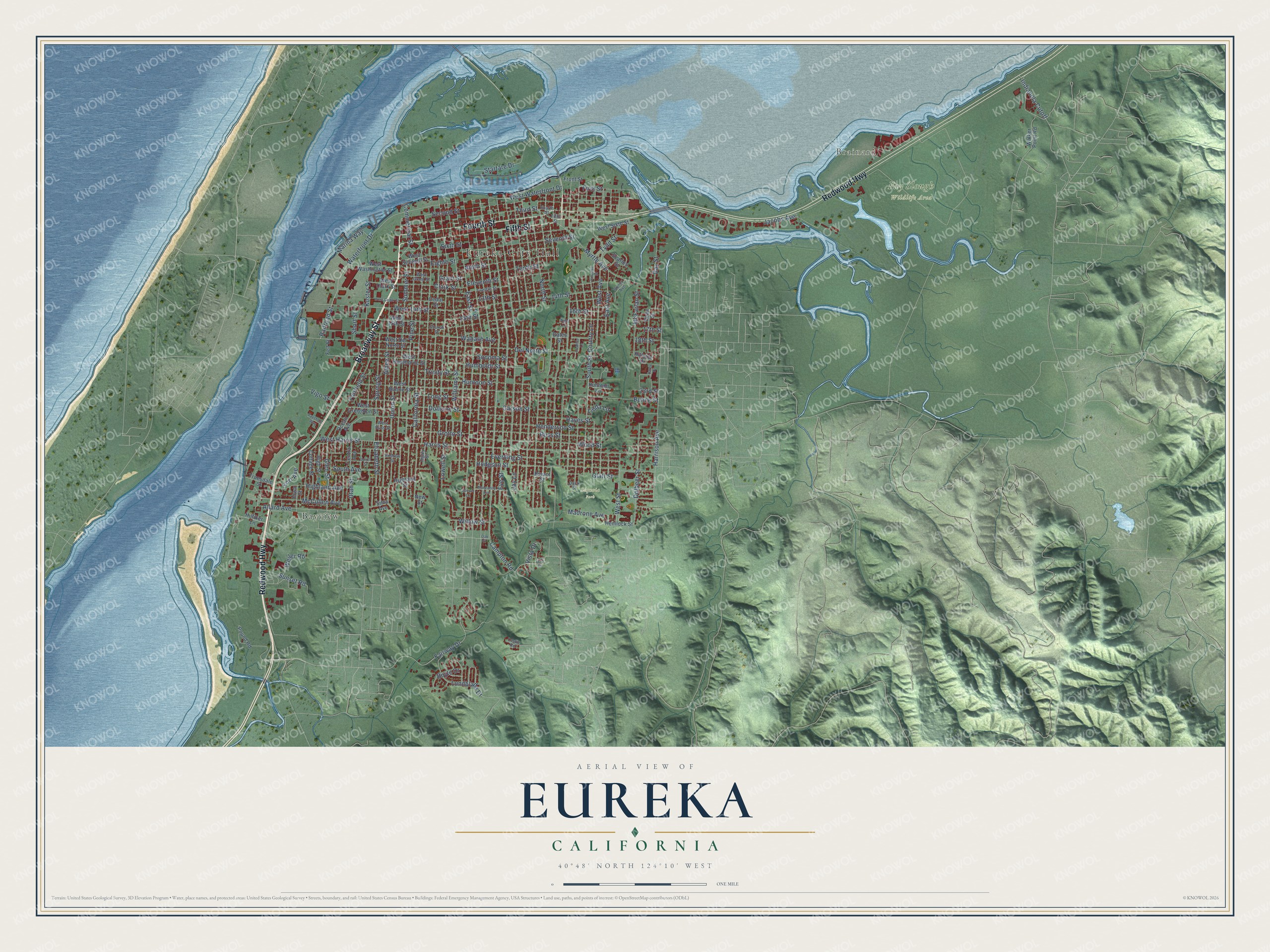
This beautifully detailed map of Eureka, California was created in 2026 using aerial imagery combined with modern topographical, census, street and landmark data. It's a modern aerial view of Eureka in Humboldt County, California, that combines modern data with a vintage aesthetic. The roads feature printed names, and if you look closely you can find your exact house accurately shown in its correct location.
Explore an aerial view of Eureka, California
On this map you'll find Eureka City Hall, Brainard, Fay Slough Wildlife Area, Sequoia Park, Bayview, Redwood Highway, Broadway Street, Fifth Street, Fourth Street, South Street, West Avenue, Glen Street, and more. Each red shape is a building, so zoom in on the preview and look for yours.
Every town has a first chapter, and Eureka is no exception. The record at ohp.parks.ca.gov puts it this way: "By 1850 the Laura Virginia Association had founded Humboldt City, Union (Arcata), Bucksport, and Eureka – in subsequent years, the bay became a major North Coast lumber port and shipbuilding center."
Eureka is a city in Humboldt County. The Census Bureau counted 26,512 people here in 2020.
Take a closer look at the Eureka map
Names on this map
These names are printed on this map.
Places: Eureka City Hall, Brainard, Fay Slough Wildlife Area, Sequoia Park and Bayview.
Streets and roads: Redwood Highway, Broadway Street, Fifth Street, Fourth Street, South Street, West Avenue, Glen Street, Fairway Drive, First Street, Railroad Street, Highland Avenue, West Waterfront Drive.
More street names, A to Z
13th Street, 14th Street, 15th Street, 16th Street, 17th Street, 18th Street, 23rd Street, Albee Street, Allard Avenue, Andrew Street, Bayshore Way, Bay Street, Boyle Drive, Bryant Street, Buhne Street, Burrill Street, California Street, Campton Road, Carson Street, Cedar Street, Central Avenue, Church Street, Clark Street, Commercial Street, Cooper Lane, Cottage Street, County Lane, Cousins Street, Dean Street, Del Norte Street, Dolbeer Street, Dollison Street, Duck Street, East Avenue, East Street, Eighth Street, Eleventh Street, Elizabeth Street, Everding Street, Eye Street, Fairfield Street, Felt Street, Fern Drive, Fort Avenue, Front Street, Gates Street, Glatt Street, Grant Street, Grotto Street, Hardy Drive, Harrison Avenue, Harris Street, Hayes Street, Heather Lane, Hemlock Street, Henderson Street, Highland Street, High Street, Hilfiker Lane, Hillside Drive, Hodgson Street, Humboldt Street, Huntoon Lane, Huntoon Street, Indianola Cutoff, Ingley Street, Iowa Street, Jacobs Avenue, Jay Lane, Koster Street, Leslie Road, Linda Lane, Long Street, Lowell Street, Lundblade Drive, Madrone Avenue, Manzanita Avenue, Marina Way, McCullen Avenue, McFarlan Street, Myrtle Avenue, New Street, Nigel Lane, Ninth Street, North Street, Oak Street, Ocean Avenue, Pine Street, Pound Road, Russ Street, Searles Street, Second Street, Seventh Street, Short Street, Silva Avenue, Sixth Street, Sonoma Street, South Avenue, Spring Street, Startare Drive, Summer Street, Sunny Avenue, Sunset Road, Tenth Street, Third Street, Trinity Street, Truesdale Street, Twelfth Street, Tydd Street, Union Street, Utah Street, Vigo Street, Vista Drive, Wabash Avenue, Walker Point Road, Waterfront Drive, Weiler Road, West 14th Street, West 15th Street, West Buhne Street, West Cedar Street, West Clark Street, West Creighton Street, West Del Norte Street, West Grant Street, West Harris Street, West Hawthorne Street, West Russ Street, West Seventh Street, West Sixth Street, West Street, West Washington Street, Williams Street, Willow Street, Wood Street.
Created by KNOWOL in 2026. The buildings are small red shapes, the roads carry their printed names, and shaded relief shows the shape of the land. The title panel reads "AERIAL VIEW OF EUREKA CALIFORNIA" with 40°48' NORTH 124°10' WEST.
Hang it in the hallway, the office or the cabin, or give it to someone who left Eureka and still calls it home. Open the preview and look for a street you know. See sizes and frames for the Eureka map.