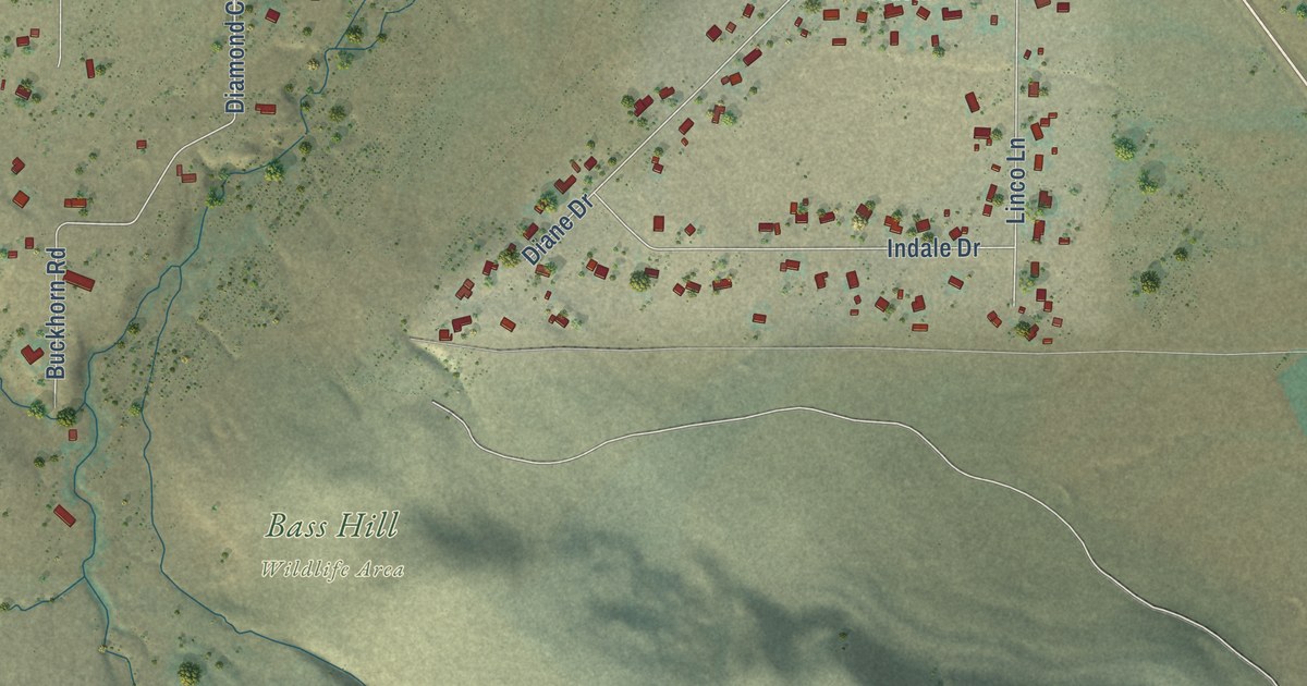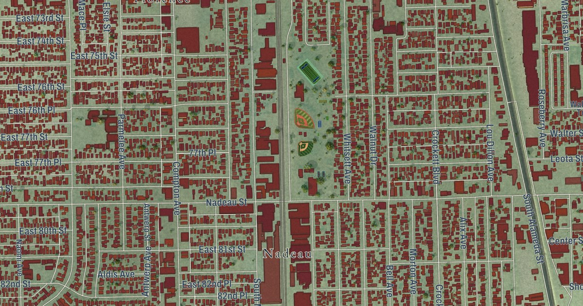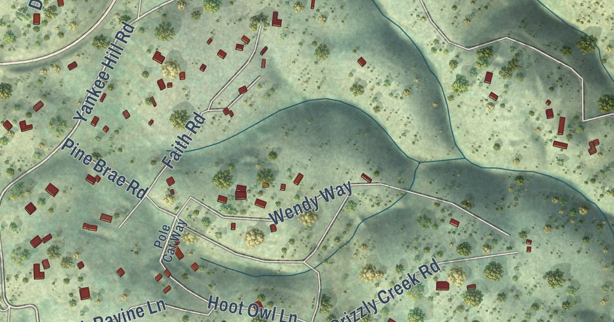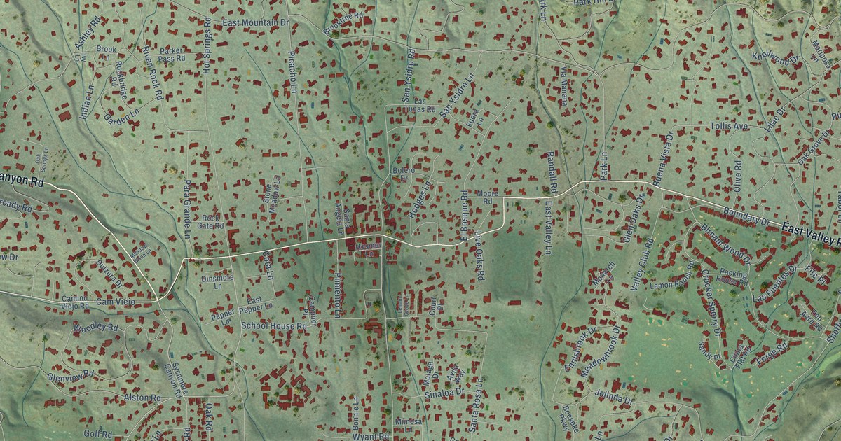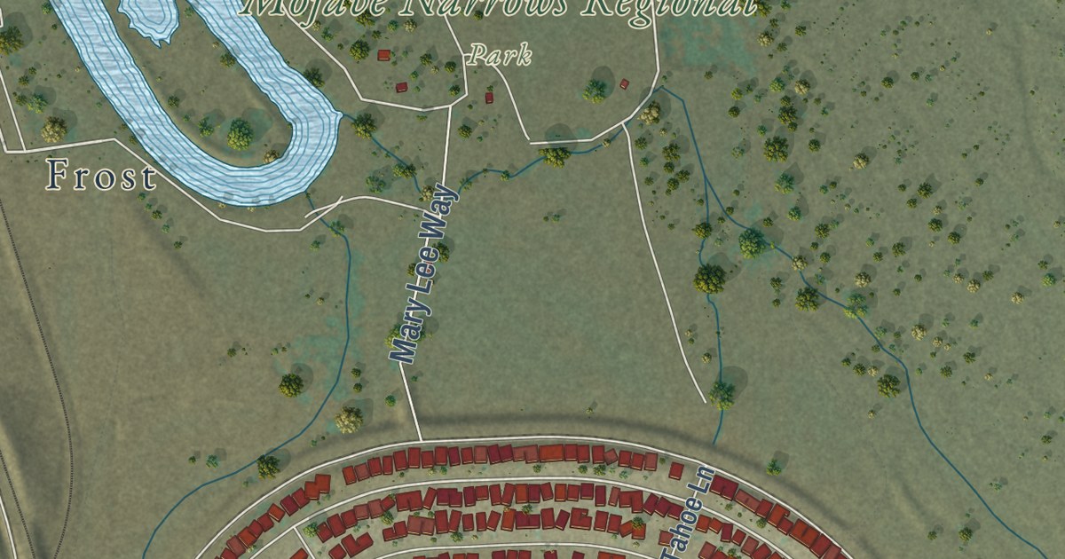
This beautifully detailed map of Spring Valley Lake, California was created in 2026 using aerial imagery combined with modern topographical, census, street and landmark data. It’s a one-of-a-kind view of Spring Valley Lake that combines accurate data with a vintage aesthetic. The map shows every building in its true location, many of the roads carry their names, and the shaded topographic relief shows the shape of the land.
Explore an aerial view of Spring Valley Lake, California
On the map you’ll find Mojave Narrows Regional Park and Frost, along with Driftwood Drive, Riverview Drive, Mary Lee Way, Pahute Avenue, Kalin Ranch Drive, Spring Valley Parkway, Ridgecrest Road, Yates Road, Rain Shadow Road, Hidden Valley Road, and more. If you look closely you can even find your house accurately drawn in its correct location. Zoom in on the preview to look for yours.
Did you know this piece of Spring Valley Lake, California history?
From the San Bernardino County Special Districts: "Originally, the land where Spring Valley Lake is located was used for cattle ranching and farming. In 1969, The Boise Cascade Home and Land Corporation bought the property from Kalin Ranches and started building the community that is known today."
Take a closer look at the Spring Valley Lake map
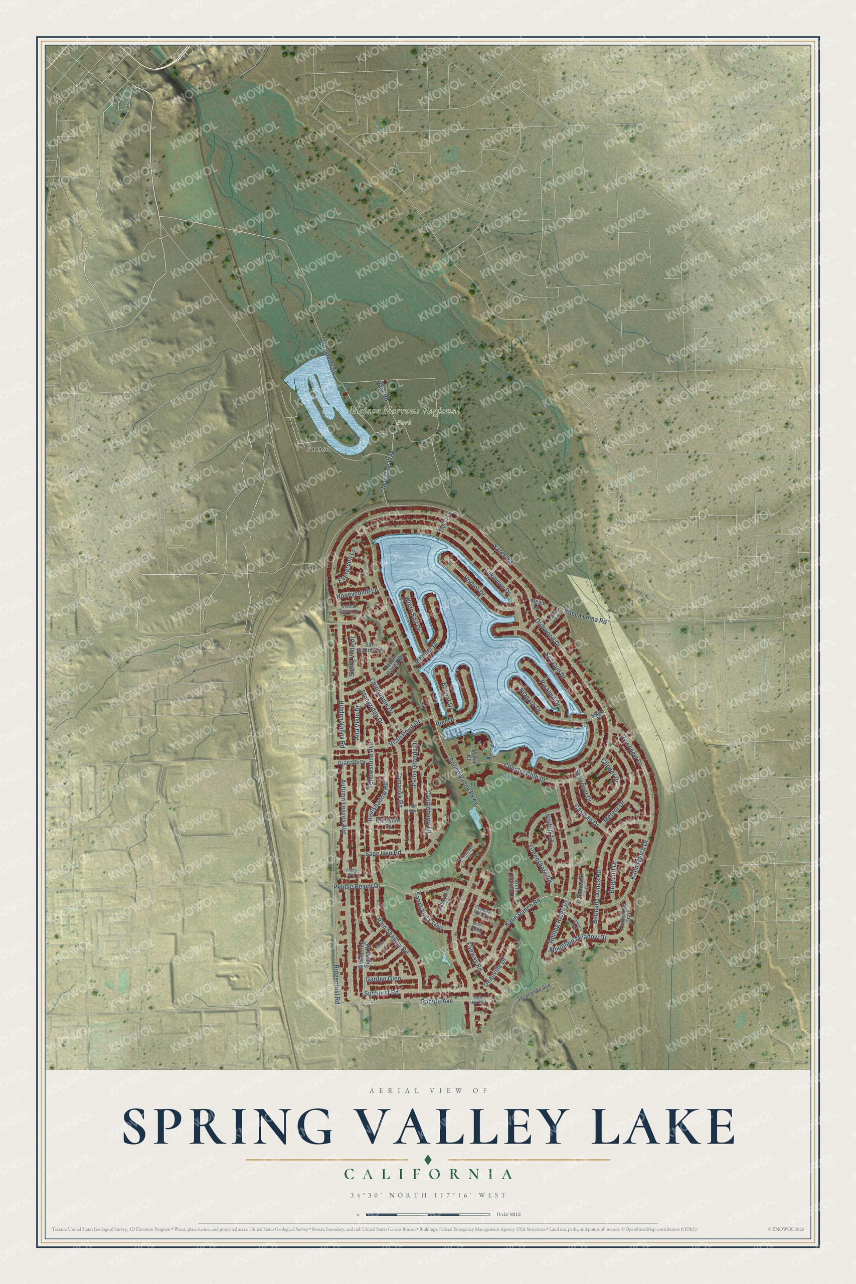
Street and place names on the Spring Valley Lake, California map
These names are printed on the map of Spring Valley Lake, California.
Places: Mojave Narrows Regional Park and Frost.
Streets and roads: Riverview Drive, Driftwood Drive, Rainshadow Road, Spring Valley Parkway, Ridgecrest Road, Yates Road, Kalin Ranch Drive, Rain Shadow Road, Hidden Valley Road, Sea Gull Drive, Autumn Leaves Avenue, Country Club Drive.
More street names, A to Z
Alta Vista Drive, Amberwood Lane, Anchor Drive, Arrowhead Trail, Bermuda Dunes Road, Briarcliff Drive, Candleberry Lane, Candlewick Lane, Caspian Drive, Cedarbrook Lane, Cedar Lane, Chinquapin Drive, Clipper Drive, Cold Creek Lane, Country Glen Drive, Cresta Blanca Lane, Crestview Drive, Deauville Drive, Evergreen Lane, Fairway Road, Fortuna Lane, Garden Glen, Golf Course Drive, Granada Drive, Greensboro Road, Harbor Drive, High Ridge Lane, Honeycomb Lane, Jacaranda Avenue, Kalin Ranch Road, Lakeview Drive, Makai Court, Mariner Drive, Mary Lee Way, Mead Lane, Meteor Drive, Mountain Meadow Drive, Niagara Drive, Niagra Drive, Norfolk Lane, Pahute Avenue, Pah Ute Avenue, Palos Grande Drive, Park Road, Pebble Beach Drive, Pier Drive, Pinehurst Trail, Prado Way, Pyramid Drive, Rancho Bonita Road, Rolling Ridge Drive, Sage Hen Road, San Gabriel Lane, Santa Anita Trail, Schooner Drive, Sierra Vista Drive, Stoneridge Drive, Sunburst Road, Tahoe Lane, Tamarisk Road, Unname Trail, Vista Point Drive, Whispering Spring Road, White Sail Drive, Yellowstone Avenue, Yucca Loma Road.
See the Spring Valley Lake, California map on a wall
The Spring Valley Lake map as an 18 x 24 inch print in a black frame.

This beautifully detailed map of Spring Valley Lake makes an attractive addition to your office, library, or den, and it can even be used to teach children the geography and history of the area. It also makes a great gift for anyone with Spring Valley Lake roots. When you’re done exploring, click here to get your copy of the Spring Valley Lake map.