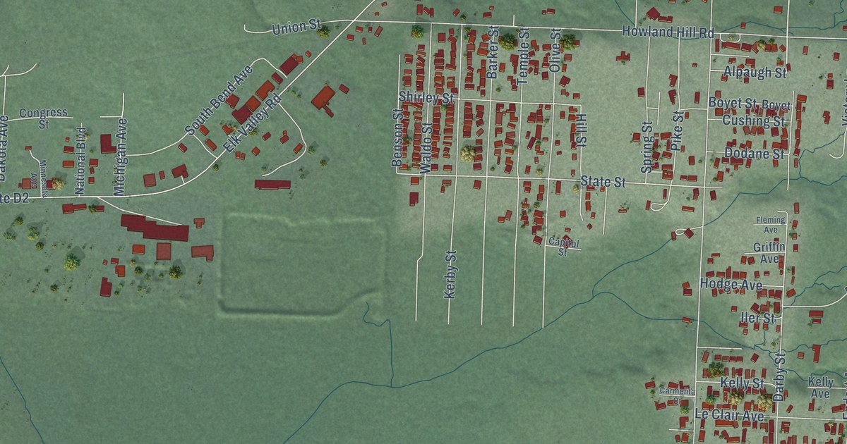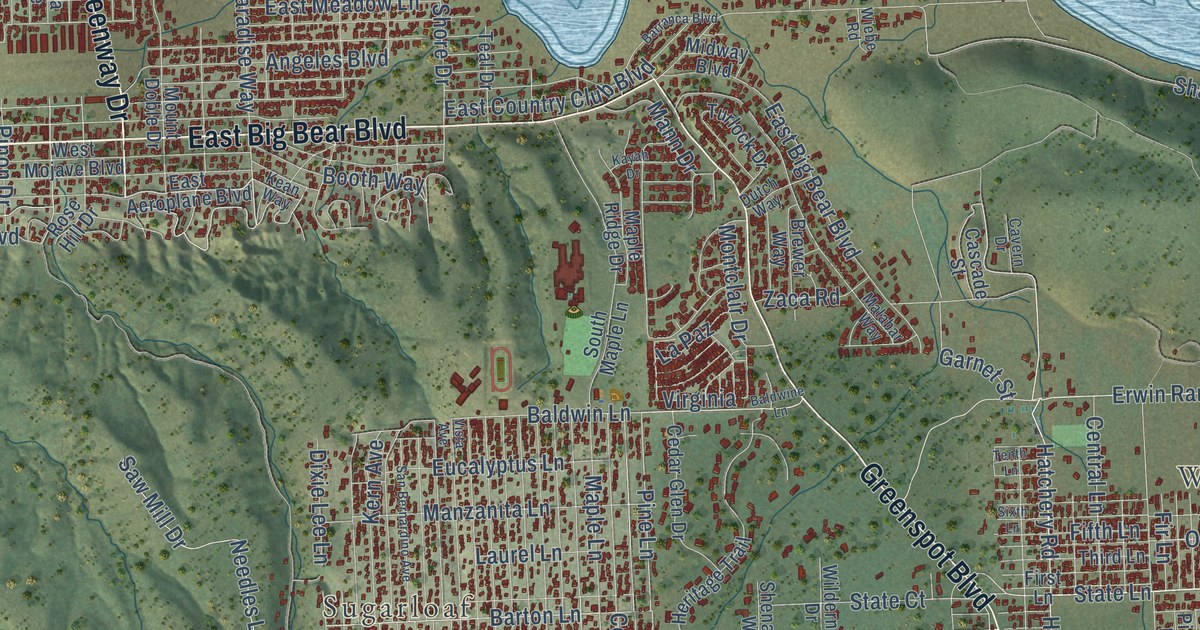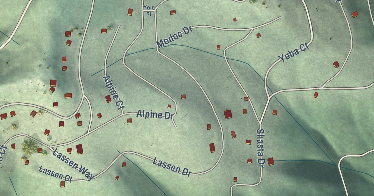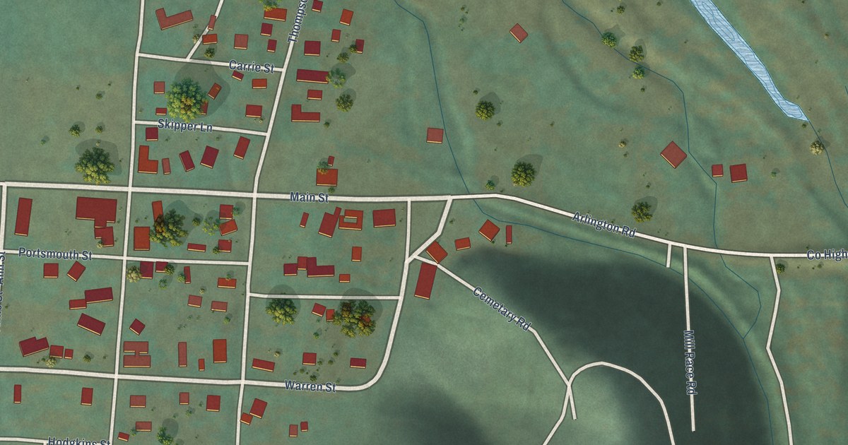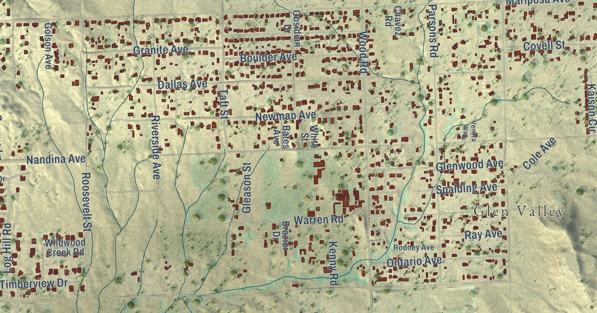
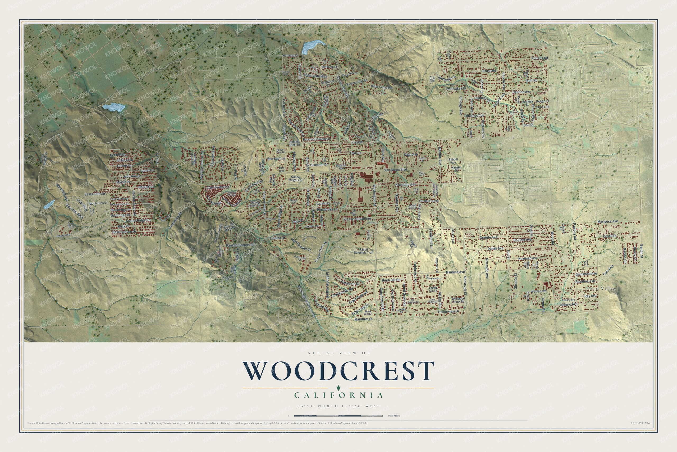
This beautifully detailed map of Woodcrest, California was created in 2026 using aerial imagery combined with modern topographical, census, street and landmark data. It’s a one-of-a-kind view of Woodcrest that combines accurate data with a vintage aesthetic. The map shows every building in its true location, many of the roads carry their names, and the shaded topographic relief shows the shape of the land.
Explore an aerial view of Woodcrest, California
On the map you’ll find Glen Valley, along with Iris Avenue, Kross Road, Edge Gate Drive, Log Hill Road, Van Buren Boulevard, Mariposa Avenue, Washington Street, Markham Street, Nandina Avenue, Mockingbird Canyon Road, Krameria Avenue, and more. If you look closely you can even find your house accurately drawn in its correct location. Zoom in on the preview to look for yours.
Did you know this piece of Woodcrest, California history?
Woodcrest took its name from the Woodcrest Acres tract, laid out in 1926 on the crest of the local hills. Several landowners here carried the Wood name, among them Susan Wood. Wood Road was named for her in 1916. The new post office took the Woodcrest name that same year as the tract.
Take a closer look at the Woodcrest map
Street and place names on the Woodcrest, California map
These names are printed on the map of Woodcrest, California.
Places: Glen Valley.
Streets and roads: Iris Avenue, Kross Road, Edge Gate Drive, Log Hill Road, Van Buren Boulevard, Mariposa Avenue, Washington Street, Markham Street, Nandina Avenue, Mockingbird Canyon Road, Krameria Avenue, Wood Road.
More street names, A to Z
Akron Street, Albarian Way, Alita Drive, Arabian Avenue, Arbor Creek Circle, Armintrout Drive, Bali Drive, Barton Street, Bates Avenue, Beagle Lane, Bellino Way, Ben Court, Ben Spur Lane, Bert Road, Birch Hill Road, Blackburn Road, Bobbitt Avenue, Bonanza Drive, Boulder Avenue, Brazier Drive, Bretton Woods Place, Broaden Lane, Burl Hollow Drive, Calumet Court, Cam de Estrilla, Cam de Lorenzo, Cam de Waldo, Canyon Ridge Road, Canyon View Drive, Canyonwood Drive, Capella Street, Carista Boulevard, Catalonia Drive, Caton Court, Cayuse Court, Cecil Avenue, Cecil Place, Chavez Road, Cheltenham Road, Chicago Avenue, Cita Avenue, Citrus Heights Drive, Cll del Corral, Cll Flores, Cole Avenue, Colleen Court, Colt Street, Constable Road, Corinne Way, Corsica Avenue, Covell Street, Cyprus Lane, Dalke Lane, Dallas Avenue, Dauby Court, Dauchy Avenue, Deer Valley Court, Dischner Drive, Dooley Place, Dove Canyon Drive, Eagle Peak Road, El Mesa Drive, Evening Star Road, Everetts Way, Fairbreeze Court, Fleur Boulevard, Four Winds Drive, Frankland Lane, Gallery Heights Drive, Gamble Avenue, Gardner Avenue, Gentian Avenue, Gila Way, Ginger Creek Drive, Gleason Street, Glen Hollow Way, Glenwood Avenue, Goat Road, Golden Spur Court, Golden Star Avenue, Golson Avenue, Granite Avenue, Greene Circle, Greenview Drive, Grey Lane, Harvey Lane, Haygen Street, Heritage Grove Road, Hermosa Drive, Hermosa Street, Hibiscus Avenue, Hoffa Lane, Holcomb Way, Hoover View Drive, Indian Creek Trail, Ironridge Road, Jacobs Circle, James Court, Judy Ann Drive, Kaison Circle, Katie Drive, Kellen Court, Kenny Road, Key Lime Boulevard, King Avenue, King Street, Lana Way, Landon Court, La Serena Court, Laurel Drive, Laurel Grove Road, Lenel Court, Lenet Court, Lindina Drive, Lois Lane, Londa Lane, Lori Lane, Lovebird Lane, Mardi Gras Lane, Martin Place, Meadowlands Drive, Minneola Avenue, Moonridge Drive, Neely Lane, New Canaan Court, Newman Avenue, Nolen Lane, Oakley Drive, Obsidian Drive, Olive Avenue, Ontario Avenue, Orrick Road, Parsons Road, Pauls Lane, Perkins Drive, Pick Place, Pico Street, Pine Court, Ponderosa Lane, Porter Avenue, Prairie Way, Pso de Vega, Quailridge Drive, Rabbit Scramble Trail, Rain Cross Circle, Ranchero Road, Rancho Escondido Drive, Rancho Sonado Road, Rancho Viejo Drive, Ranch Road, Ranchview Court, Ray Avenue, Regency Ranch Road, Reiner Circle, Ridge Canyon Drive, Ridgeway Avenue, Ringbit Court, Riverside Avenue, Roberts Road, Rock Place, Rodney Avenue, Roosevelt Street, Russell Avenue, Saddleback Road, Sage Avenue, Sally Lane, Sandy Terrace, Sendero del Charro, Seven Hills Drive, Shearer Lane, Shorb Street, Silver Spur Road, Silver Star Court, Singletree Lane, Sonny Lane, Spain Lane, Spalding Avenue, Stone Ridge Drive, Stoney Creek Drive, Summer Court, Summit Crest Drive, Sunrise Mesa Drive, Sunset Ridge Road, Sunset View Drive, Suttles Drive, Sweet Avenue, Taft Street, Tamra Lane, Tava Lane, Teace Road, Terraceview Court, Thistle Hill Court, Timberview Drive, Trisha Way, Twin Lakes Drive, Valle Vista Way, Venora Way, Via Los Caballeros, Viewcrest Drive, Wagon Wheel Drive, Warren Road, Weikamp Street, Whispering Spur Street, White Feather Drive, White Street, Wicker Way, Wildwood Creek Road, Woodcrest Drive, Woodlake Drive, Wood Song Court.
See the Woodcrest, California map on a wall
The Woodcrest map as an 18 x 24 inch print in a black frame.

This beautifully detailed map of Woodcrest makes an attractive addition to your office, library, or den, and it can even be used to teach children the geography and history of the area. It also makes a great gift for anyone who grew up in Woodcrest or moved away. When you’re done exploring, click here to get your copy of the Woodcrest map.