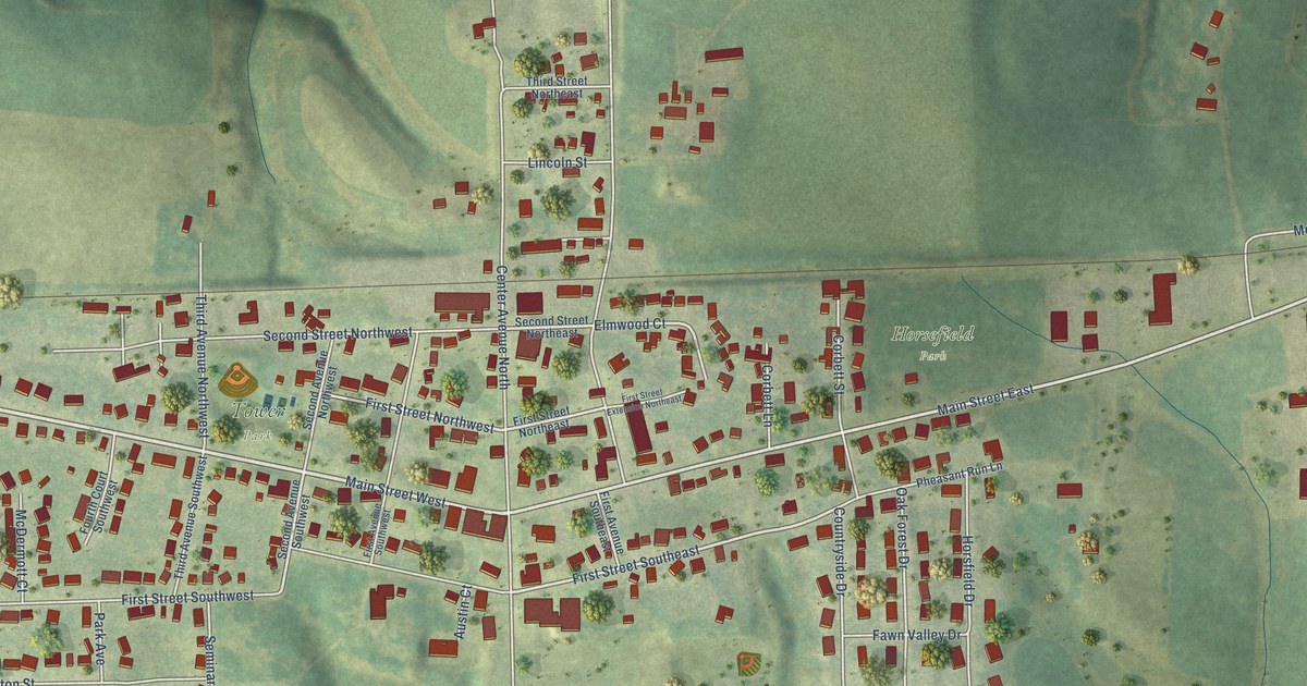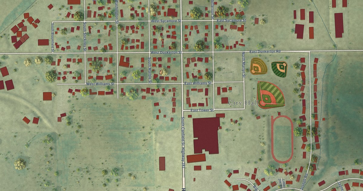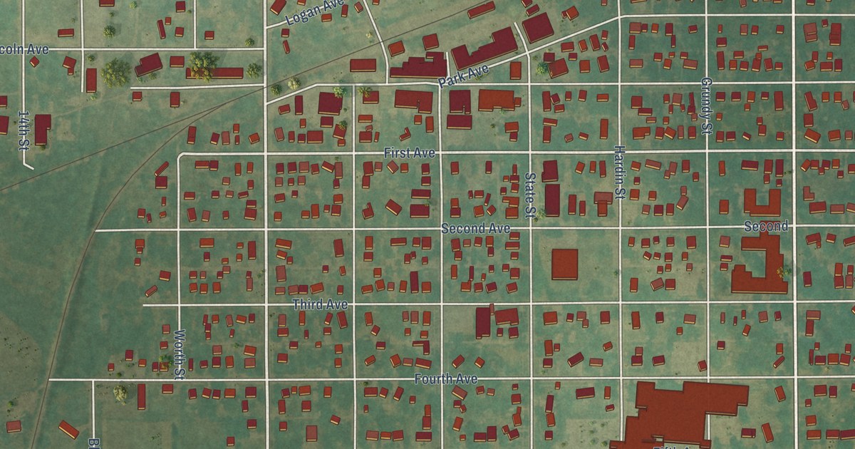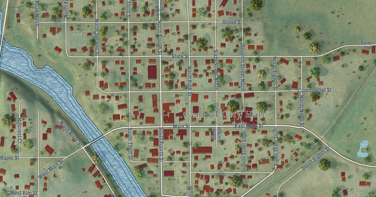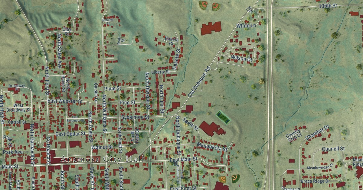
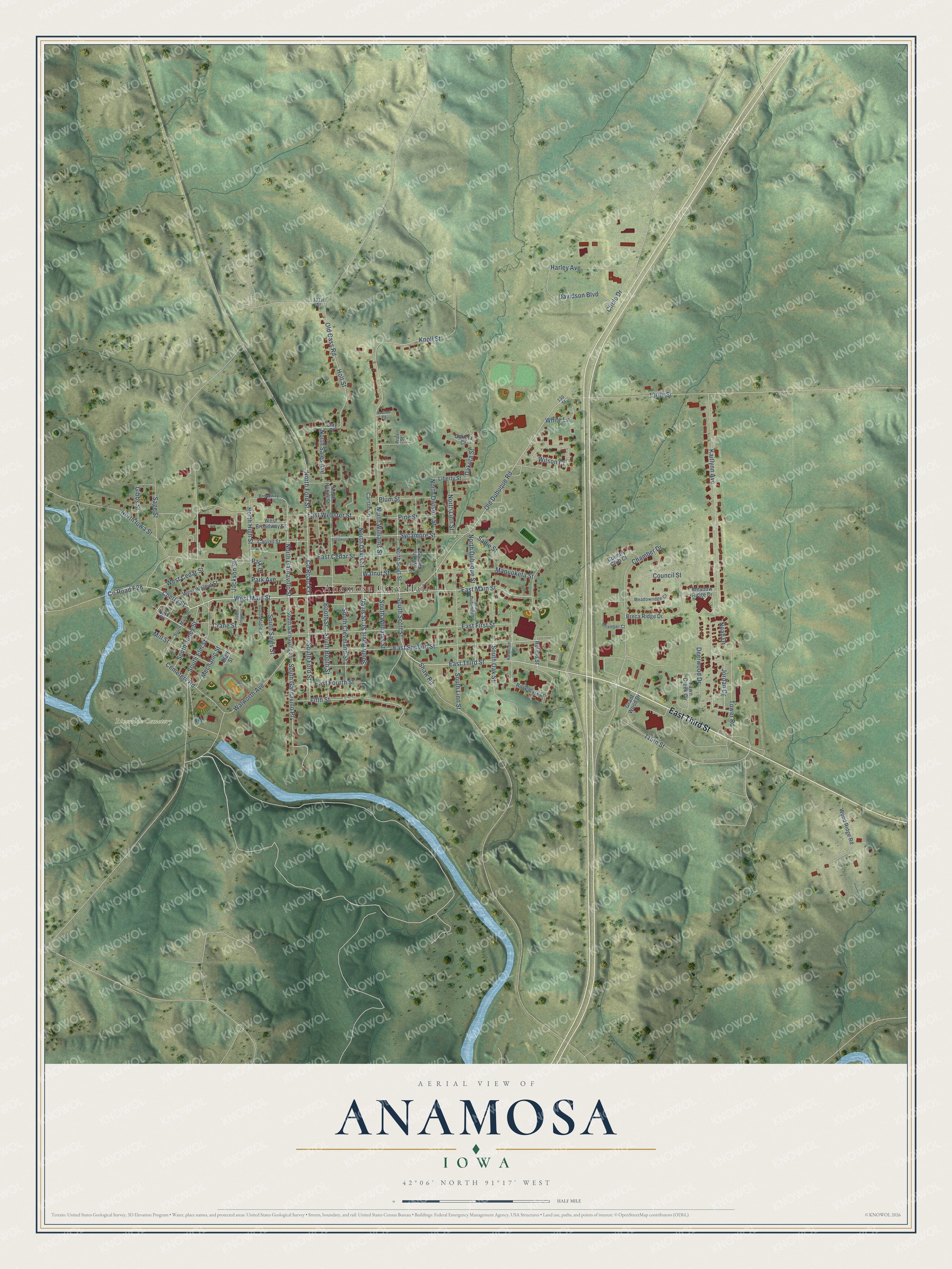
This beautifully detailed map of Anamosa, Iowa was created in 2026 using aerial imagery combined with modern topographical, census, street and landmark data. It's a modern aerial view of Anamosa in Jones County, Iowa, that combines modern data with a vintage aesthetic. The roads feature printed names, and if you look closely you can find your exact house accurately shown in its correct location.
Explore an aerial view of Anamosa, Iowa
On this map you'll find Anamosa City Hall, Riverside Cemetery, East Third Street, West Main Street, Cherry Street, East Main Street, Co Road E28, South Scott Street, North Davis Street, Davis Street, South Davis Street, East Webster Street, and more. Each red shape is a building, so zoom in on the preview and look for yours.
Anamosa has a story worth telling. The City of Anamosa puts it this way: "There are many different stories on how Anamosa was chosen as a name, but all of them center around a local Native American girl named Anamosa, which means white fawn. A Native American family passed through town in 1842."
Anamosa is a city in Jones County. The Census Bureau counted 5,450 people here in 2020.
Take a closer look at the Anamosa map
Names on this map
These names are printed on this map.
Places: Anamosa City Hall and Riverside Cemetery.
Streets and roads: East Third Street, West Main Street, Cherry Street, East Main Street, County Road E28, South Scott Street, North Davis Street, Davis Street, South Davis Street, East Webster Street, Fifth Street, Old Dubuque Road.
More street names, A to Z
115th Street, 130 Street, 130th Street, 131st Street, Bluff Street, Booth Street, Breca Ridge Drive, Broadway Place, Carroll Street, Carson Lane, Cemetery Road, Chamber Court, Chamber Drive, Circle Drive, Clay Street, Council Street, Country Club Court, County Road X31, Crane Street, Dakota Court, Dakota Street, Davidson Boulevard, Deerwood Drive, East Cedar Street, East First Street, East Fourth Street, East Second Street, East Sycamore Street, Fawn Creek Circle, Gibbs Street, Grant Wood Drive, Hamilton Street, Harley Avenue, Holt Street, Jackson Street, Jordan Drive, Kaitlynn Avenue, Knoll Street, Liberty Street, Maquoketa Street, Meadowridge Court, Meadow Ridge Drive, Mechanic Street, Mill Street, Nasinus Road, Noah Drive, North Division Street, North Dubuque Street, North Ford Street, North Garnavillo Street, North High Street, North Huber Street, North Iowa Street, North Linn Street, North Pratt Street, North Sales Avenue, North Scott Street, North Williams Street, Old Cass Road, Park Avenue, Park Court, Park Place, Pine Street, Plum Street, Pratt Street, Roland Street, Rosemary Lane, Sadie Street, Sage Street, Shaw Road, South Alderman Street, South Booth Street, South Cleveland Street, South Dubuque Street, South Elm Street, South Ford Street, South Garnavillo Place, South Garnavillo Street, South Jones Street, South Linn Street, South Main Street, South Maple Street, South Oak Street, South Sales Street, South Williams Street, Sycamore Street, Tower Road, Walnut Street, Walworth Avenue, West Broadway Street, West Cedar Street, West Walnut Street, White Lane, Wilson Court, Wood Ridge Road.
Created by KNOWOL in 2026. The buildings are small red shapes, the roads carry their printed names, and shaded relief shows the shape of the land. The title panel reads "AERIAL VIEW OF ANAMOSA IOWA" with 42°06' NORTH 91°17' WEST.
It looks right in a kitchen, an office or a den, and it's a gift for anyone who grew up in Anamosa or moved away. Open the preview and find your street. See sizes and frames for the Anamosa map.