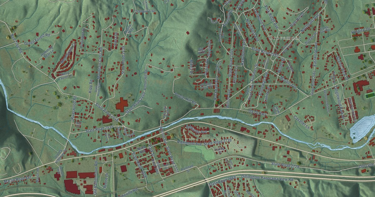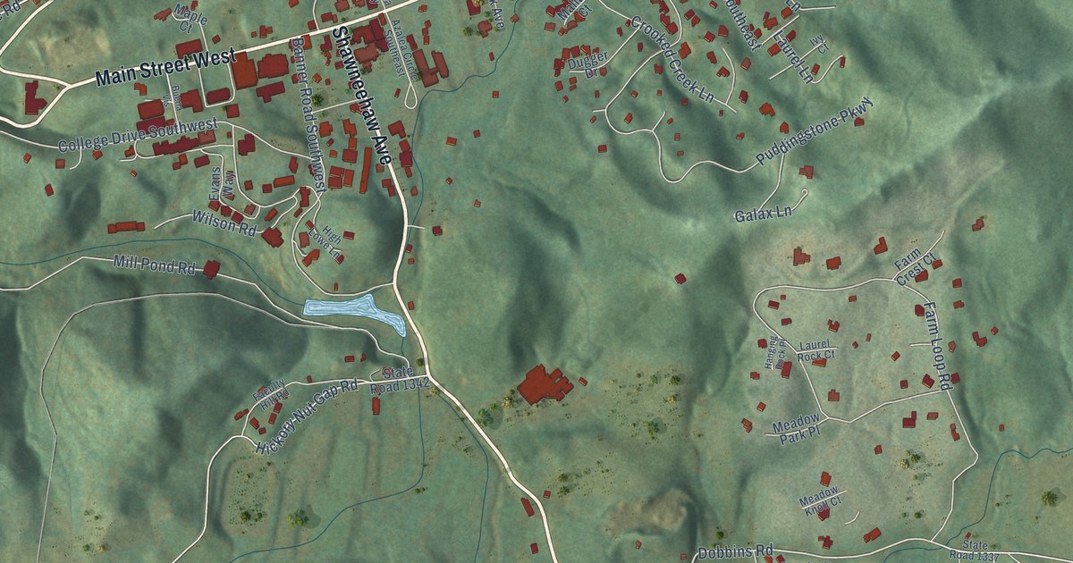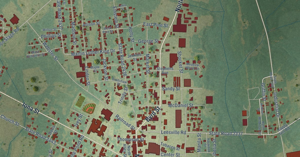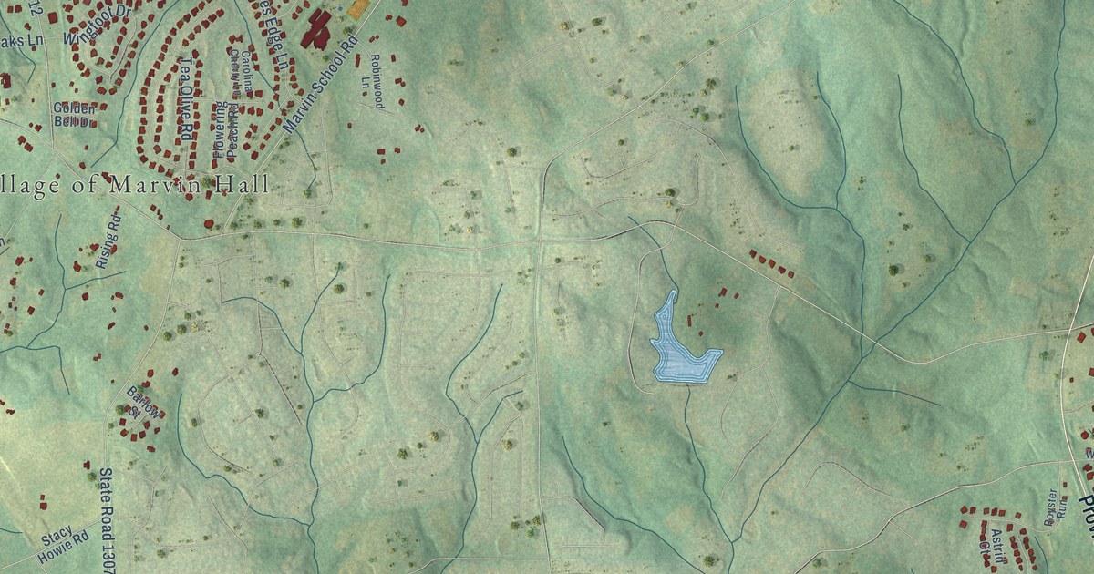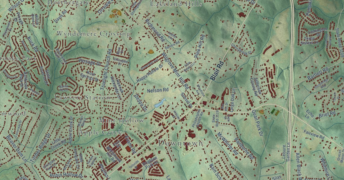
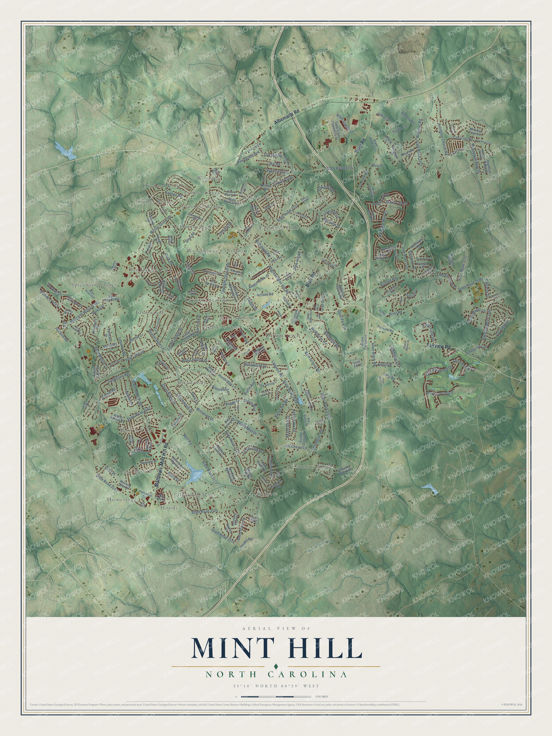
This beautifully detailed map of Mint Hill, North Carolina was created in 2026 using aerial imagery combined with modern topographical, census, street and landmark data. It's a modern aerial view of Mint Hill in Mecklenburg County, North Carolina, that combines modern data with a vintage aesthetic. The roads feature printed names, and if you look closely you can find your exact house accurately shown in its correct location.
Explore an aerial view of Mint Hill, North Carolina
On this map you'll find Downtown, Apple Creek, Country Woods, Danbrooke Park, Farmwood, Heathergate, Homestead, Hoods, Idlewood Acres, Lake Haven, Lakeland Hills, Lawyers Station, and more. Each red shape is a building, so zoom in on the preview and look for yours.
Every town has a first chapter, and Mint Hill is no exception. The Town of Mint Hill puts it this way: "Between 1910 and 1971, Mint Hill ran on its own without elected town officials."
Mint Hill is a town in Mecklenburg County. The Census Bureau counted 26,450 people here in 2020.
Take a closer look at the Mint Hill map
Names on this map
These names are printed on this map.
Places: Downtown, Apple Creek, Country Woods, Danbrooke Park, Farmwood, Heathergate, Homestead, Hoods, Idlewood Acres, Lake Haven, Lakeland Hills, Lawyers Station, Mint Hollow, Morris Park, Orchard Knoll, Planters Ridge, Reigate, Spicewood Acres, Tarawoods, Timber Creek, Timber Ridge, Wilgrove, Wilson Wood and Wyndemere Crossing.
Streets and roads: Matthews-Mint Hill Road, Blair Road, Fairview Road, Albemarle Road, State Road 1004, Lawyers Road, Idlewild Road, State Road 3135, State Road 3128, State Road 3114, Truelight Church Road, State Road 3143.
More street names, A to Z
Alexis Drive, Allen Black Road, Allen Station Drive, Anette Avenue, Apple Creek Drive, Arlington Church Road, Arlington Hills Drive, Asheley Glen Drive, Auburn Whisper Lane, Bain Farm Road, Bain School Road, Bainview Drive, Barney Drive, Barnsdale Lane, Bartlett Road, Bask Court, Beaver Dam Lane, Beech Mint Drive, Belleglade Trail, Belle Grove Manor Lane, Bexley Place, Birchill Road, Brangus Lane, Brief Road, Brighton Park Drive, Brookgreen Drive, Brookwood Valley Lane, Burkandt Road, Cabarrus Road, Cagle Drive, Cairnsmore Place, Caliterra Drive, Canterway Drive, Castleford Drive, Cedar Grove Road, Central Drive, Cherrybrook Drive, Chicopee Drive, Chuckwood Drive, Clear Creek Commerce Drive, Clearvale Drive, Connell Road, Country Woods Drive, Crown Hill Drive, Curico Lane, Danbrook Park Drive, Dartford Lane, Dartmoor Place, David Drive, Davis Place Drive, Davis Road, Davis Trace Drive, Deerbridge Street, Deer Track Court, Dennis Road, Despa Drive, Dogwood Ridge Drive, Early Bird Way, Echo Lane, Edward's Place, Ellington Farm Lane, Errington Lane, Evans Road, Farmlake Drive, Fenning Drive, Fowler Farm Road, Foxcrest Drive, Fox Hollow Road, Fultram Lane, Glencroft Road, Golden Eagle Lane, Goldsmith Lane, Gold Wagon Lane, Golfview Court, Goodall Court, Gracen Manor Drive, Grier Place, Gristmill Lane, Grove Hall Avenue, Hanging Moss Trail, Hannah Alexander Lane, Hannon Road, Happy Hollow Drive, Hashanli Place, Heath Glen Drive, Heath Lake Drive, Helena Circle, Hillside Drive, Hinsley Lane, Hollow Oak Drive, Home Place Lane, Hoodridge Lane, Hooks Road, Hove Road, Hoyle Drive, Jared Circle, Jefferson Colony Road, Joli Cheval Lane, Jomac Drive, Jonathans Ridge Road, Jonesberry Road, Julliard Drive, Kale Lane, Kool Springs Drive, Kuck Road, Lake Road, Large Oak Lane, Lebanon Road, Leisure Garden Lane, Lemington Drive, Lemmond Acres Drive, Lipton Lane, Little Creek Road, Long Road, Long Stirrup Lane, Marcus Drive, Margaret Wallace Road, Markay Street, Martele Drive, Mayhew Forrest Lane, McEwen Place, McWhirter Road, Meadow Glen Drive, Meadow Hollow Drive, Millview Trace Lane, Mini Mac Drive, Minnie Lemmond Lane, Mintbrook Drive, Mint Forest Drive, Mint Lake Drive, Mintwood Drive, Morgan Glenn Drive, Morning Star Drive, Morris Park Drive, Mullis Forest Court, Nelson Road, Northern Red Oak Drive, Oak Drive, Oak Hill Road, Olde Irongate Lane, Olde Stonegate Lane, Olde Sycamore Drive, Old Oak Lane, Orrview Drive, Palomino Drive, Park Circle, Peggy Lane, Persimmon Creek Drive, Philadelphia Church Road, Phyliss Lane, Piaffe Avenue, Pine Grove Avenue, Pine Hill Road, Pine Lake Lane, Plashet Lane, Plough Drive, Pumpkin Way Drive, Quail Park Drive, Quail Ridge Drive, Quarters Lane, Ranburne Road, Raven Top Drive, Redfox Ridge Lane, Redgrave Lane, Richmond Road, Rivendell Lane, Robin Hollow Drive, Rolling Fields Road, Ruth Haven Drive, Sable Cap Road, Saddlewood Lane, Salute Boulevard, Santa Fe Lane, Scarsdale Drive, Shea Lane, Shelburne Place, Shingle Oak Road, Silas Ed Lane, Silver Maple Lane, Singletree Road, Spring Harvest Drive, State Road 3102, State Road 3106, State Road 3109, State Road 3110, State Road 3112, State Road 3113, State Road 3115, State Road 3117, State Road 3119, State Road 3124, State Road 3125, State Road 3134, State Road 3156, State Road 3160, State Road 3162, State Road 3171, State Road 3173, State Road 3174, State Road 3428, Stonebridge Way, Stoney Glen Drive, Stoney Meadow Drive, Stoney Trace Drive, Stoxmeade Drive, Sugarcane Court, Sunset Drive, Surface Hill Road, Sycamore Club Drive, Talcott Drive, Telfair Meadow Drive, Telluride Drive, Thompson Road, Three Sisters Lane, Timber Ridge Drive, Trudie Lane, Tufts Drive, Turkey Oak Drive, Valmere Drive, Versage Drive, Via del Compo Drive, Via Siena Drive, Walnut Cove Drive, Walter Nelson Road, Well Road, Whitehawk Hill Road, Whitmire Lane, Wilgrove Mint Hill Road, Willhill Road, Williams Road, Willow Bend Lane, Wilson Grove Road, Wilson Woods Drive, Windy Knoll Lane, Wooden Rail Lane, Woodhollow Road, Woodland Avenue, Yarmouth Road.
Created by KNOWOL in 2026. The buildings are small red shapes, the roads carry their printed names, and shaded relief shows the shape of the land. The title panel reads "AERIAL VIEW OF MINT HILL NORTH CAROLINA" with 35°10' NORTH 80°39' WEST.
Hang it in the hallway, the office or the cabin, or give it to someone who left Mint Hill and still calls it home. Open the preview and look for a street you know. See sizes and frames for the Mint Hill map.