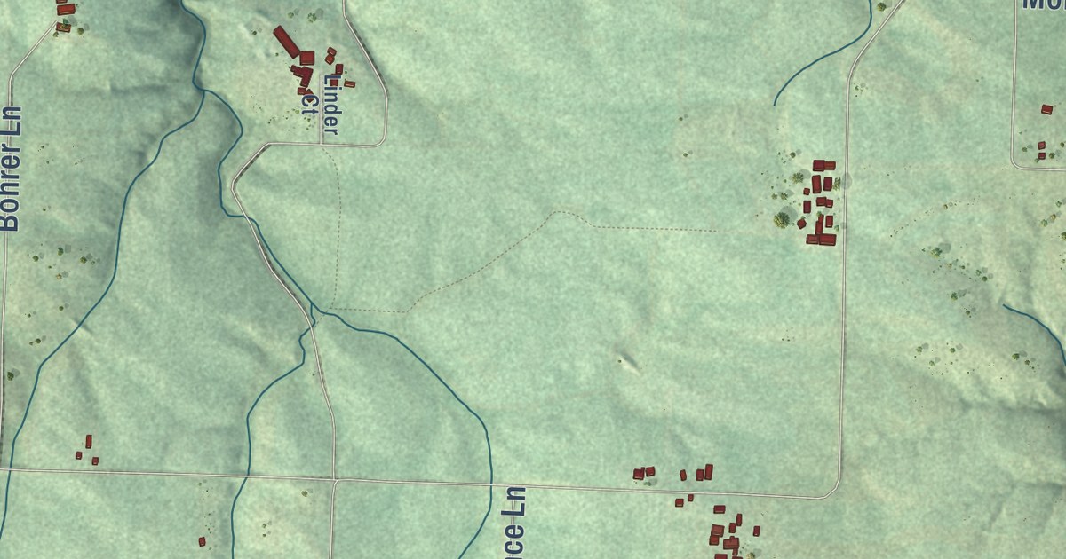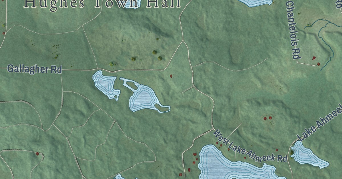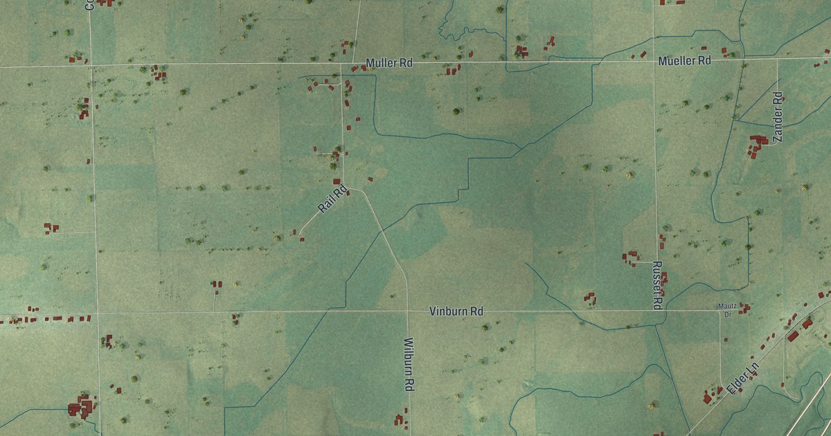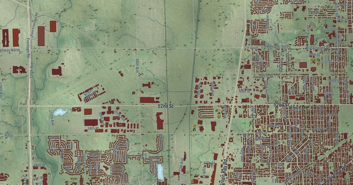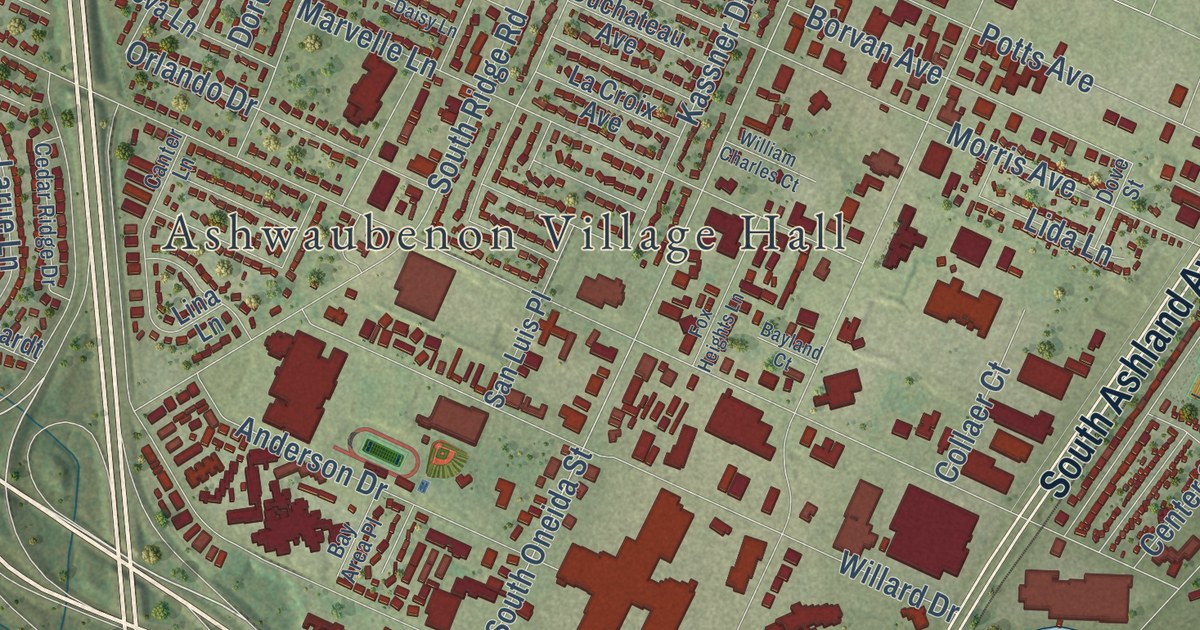
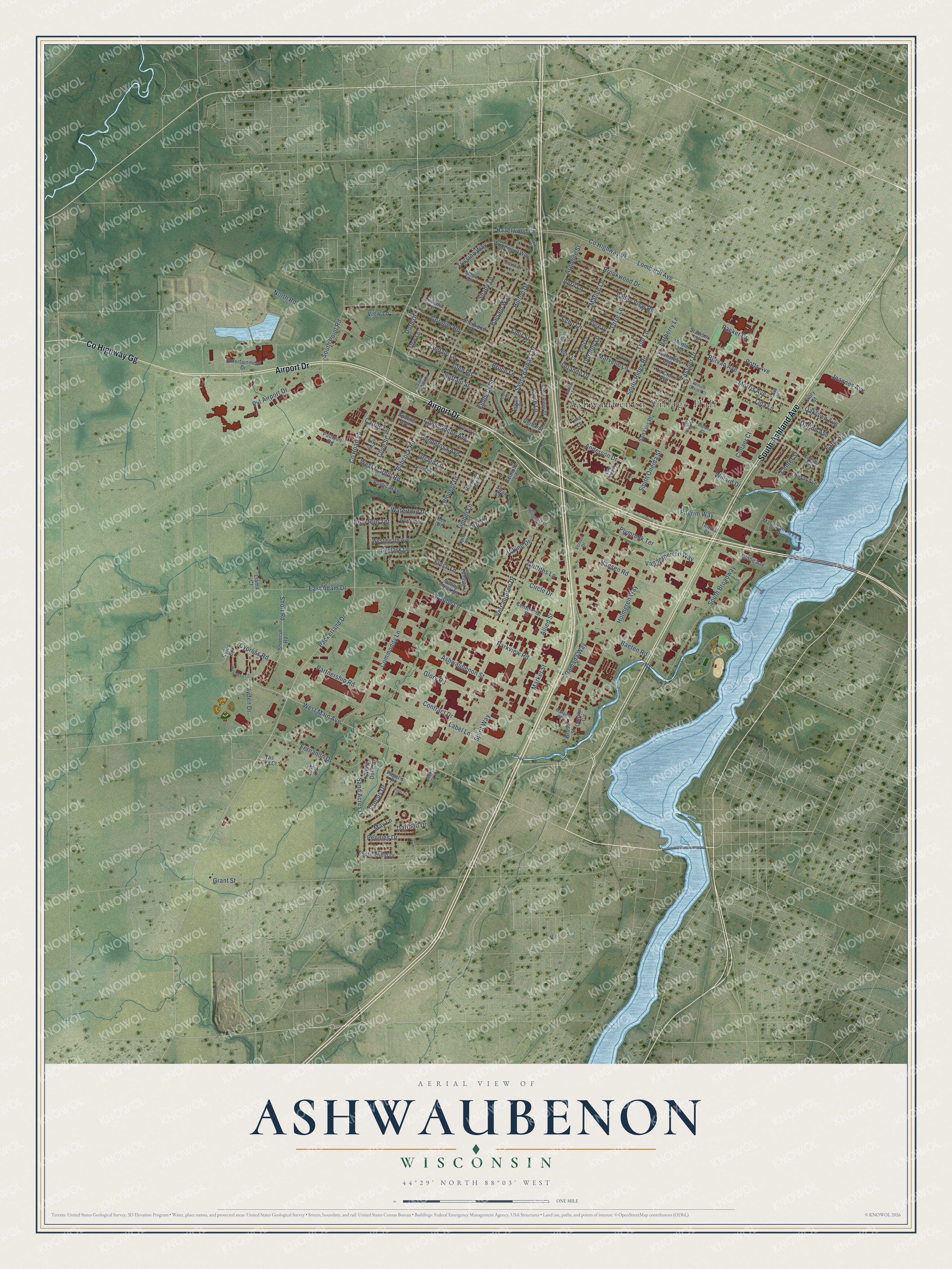
This beautifully detailed map of Ashwaubenon, Wisconsin was created in 2026 using aerial imagery combined with modern topographical, census, street and landmark data. It’s a one-of-a-kind view of Ashwaubenon that combines accurate data with a vintage aesthetic. The map shows every building in its true location, many of the roads carry their names, and the shaded topographic relief shows the shape of the land.
Explore an aerial view of Ashwaubenon, Wisconsin
On the map you’ll find Ashwaubenon Village Hall, Argonne Park, and Ashwaubomay Memorial Park, along with Airport Drive, South Ashland Avenue, County Highway GG, West Main Avenue, Trissino Way, Woodmont Way, Waube Lane, Commanche Avenue, Timber Lane, and more. If you look closely you can even find your house accurately drawn in its correct location. Zoom in on the preview to look for yours.
Did you know this piece of Ashwaubenon, Wisconsin history?
From the History of Northern Wisconsin: "Town of Ashwaubenon was erected by legislative act, March 16, 1872. The prevailing nationalities are Scandinavians, French, Belgians and Irish."
Take a closer look at the Ashwaubenon map
Street and place names on the Ashwaubenon, Wisconsin map
These names are printed on the map of Ashwaubenon, Wisconsin.
Places: Ashwaubenon Village Hall.
Streets and roads: Airport Drive, South Ashland Avenue, County Highway Gg, Packerland Drive, West Main Avenue, Waube Lane, County Road Eb, Commanche Avenue, South Oneida Street, Timber Lane, Trissino Way, Lombardi Avenue.
More street names, A to Z
Aerts Lane, Alice Drive, Allied Street, Anderson Drive, Apache Avenue, April Lane, Argonne Street, Ashwaubenon Street, Aster Court, Avondale Drive, Babcock Road, Baeten Road, Balsam Way, Barberry Lane, Bay Area Place, Bayland Court, Borvan Avenue, Bosar Avenue, Bradbury Court, Brookwood Drive, Bruce Lane, Buffalo Street, Canter Lane, Carole Lane, Cedar Ridge Drive, Centennial Street, Center Street, Circle Drive, Clive Street, Collaer Court, Collette Avenue, Commodity Lane, Contract Drive, Cormier Road, Coronis Circle, County Highway Vk, Crary Street, Crocus Drive, Cypress Road, Cyrus Drive, Daffodil Drive, Daisy Lane, Dew Lane, Dorn Drive, Dorothy Lane, Dove Street, Duchateau Avenue, Dutton Avenue, Early Street, East Adam Drive, Echo Lane, Emir Street, Entertainment Drive, Fernando Drive, Finch Lane, Fox Heights Lane, Gerhardt Lane, Gilson Court, Glen Road, Globe Avenue, Glory Road, Grant Street, Griffiths Lane, Gross Street, Hansen Road, Harmony Drive, Hazelwood Lane, Helmuth Lane, Hilltop Drive, Holmgren Way, Ingold Court, Joannes Avenue, Kassner Drive, Ken Drive, Kimberly Street, Label Lane, La Croix Avenue, Larue Lane, Layden Drive, Ledvina Street, Leona Drive, Lida Lane, Lily Drive, Lina Lane, Lindale Lane, Llama Court, Lost Lane, Lumber Lane, Marina Lane, Market Street, Marlee Lane, Marquis Way, Marvelle Lane, May Lane, Mesa Drive, Mohican Court, Morris Avenue, Myrtle Lane, North Road, Nova Lane, Oaklawn Avenue, Orchid Lane, Orlando Drive, Orrie Lane, Otto Avenue, Otto Court, Packer Drive, Pagel's Place, Park Place, Parkview Road, Partnership Road, Patty Lane, Paulson Road, Peonies Drive, Pilgrim Way, Pioneer Drive, Plymrock Terrace, Polo Run Terrace, Ponderosa Avenue, Potts Avenue, Pvt Airport Drive, Ramada Way, Rustic Way, Saint Johns Drive, Sand Acres Drive, San Luis Place, Santa Barbara Drive, Shady Lane, Sherwood Drive, Shortcut Road, Short Road, Skylark Lane, South Broadway, South Point Road, South Ridge Road, Spinghust Drive, Spirit Way, Springfield Drive, Stadium Drive, Sunny Creek Drive, Swan Court, Tas Sha Court, Tennis Court, True Lane, Valley View Road, Vanderperren Way, Vercauteren Drive, Vernon Drive, View Lane, Viking Drive, Waterford Drive, West Main Circle, West Marhill Road, Westmeath Avenue, Wexford Lane, White Dove Lane, Willard Drive, William Charles Court, Woodmont Way.
See the Ashwaubenon, Wisconsin map on a wall
The Ashwaubenon map as an 18 x 24 inch print in a black frame.

This beautifully detailed map of Ashwaubenon makes an attractive addition to your office, library, or den, and it can even be used to teach children the geography and history of the area. It also makes a great gift for someone who left Ashwaubenon and still calls it home. When you’re done exploring, click here to get your copy of the Ashwaubenon map.