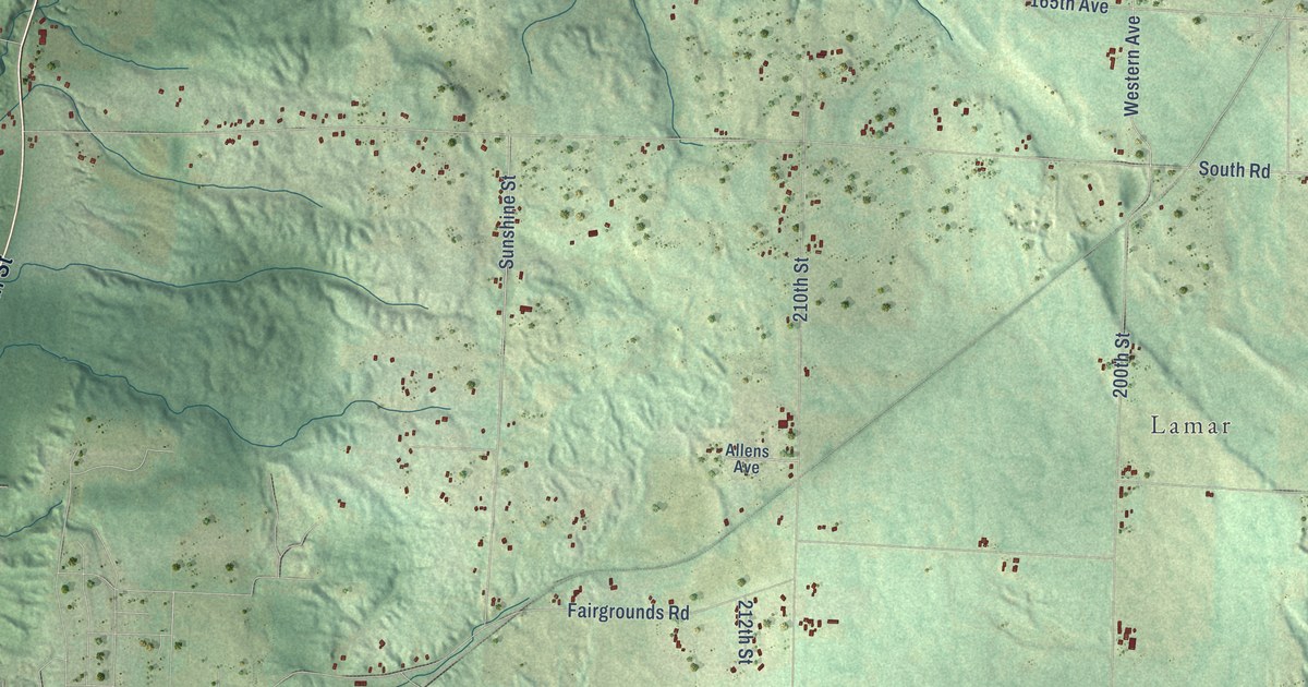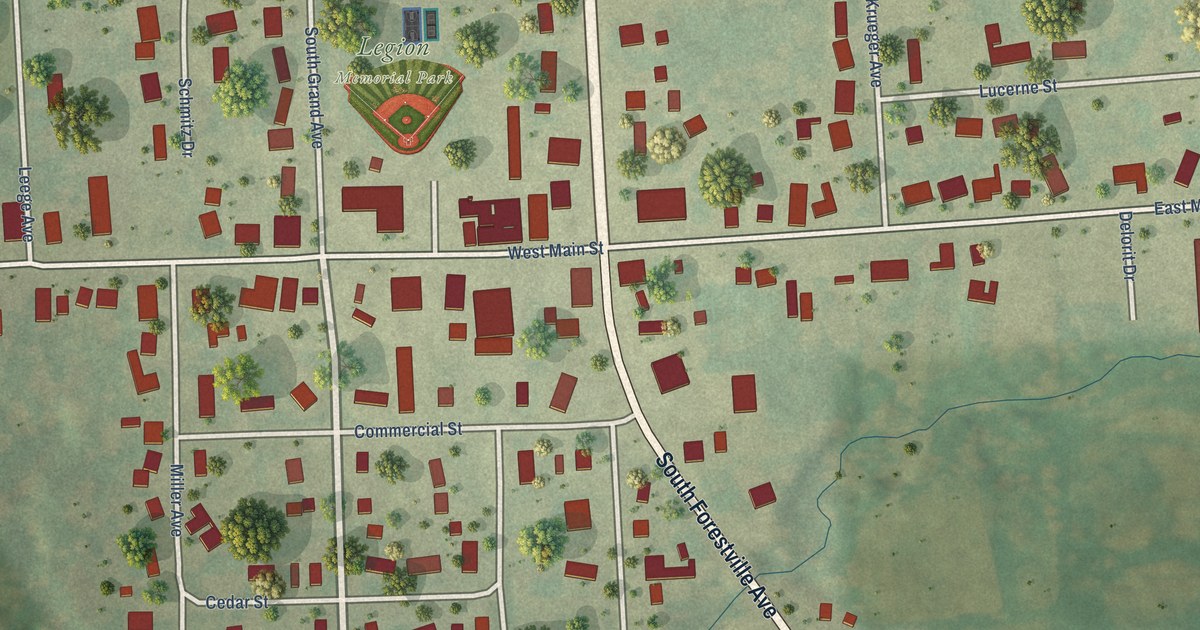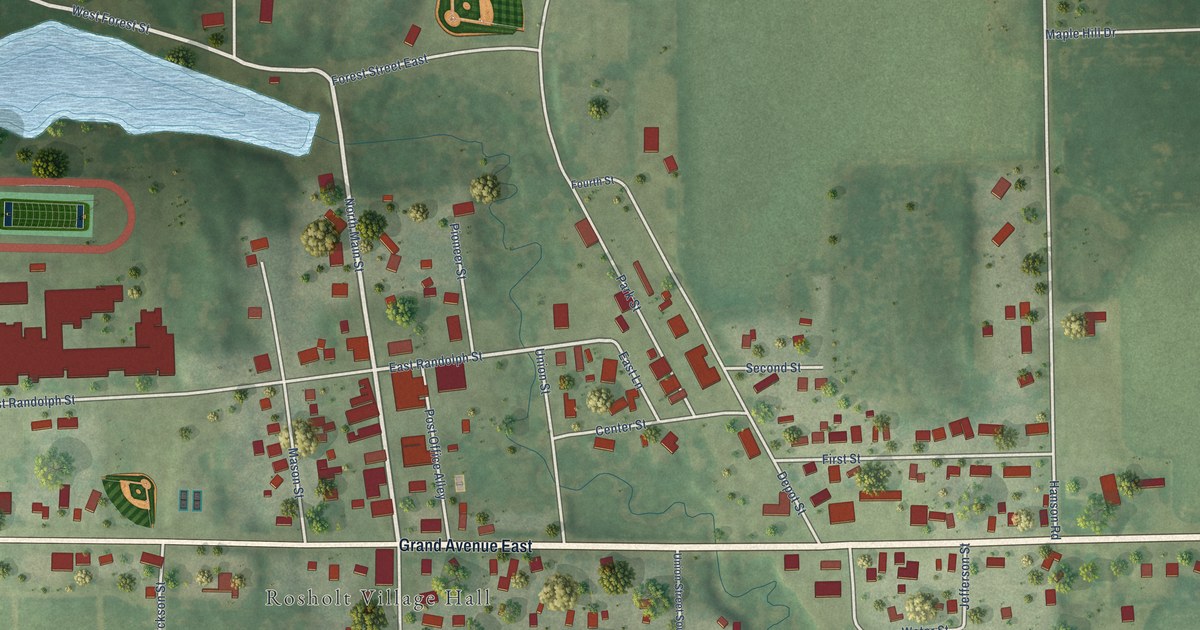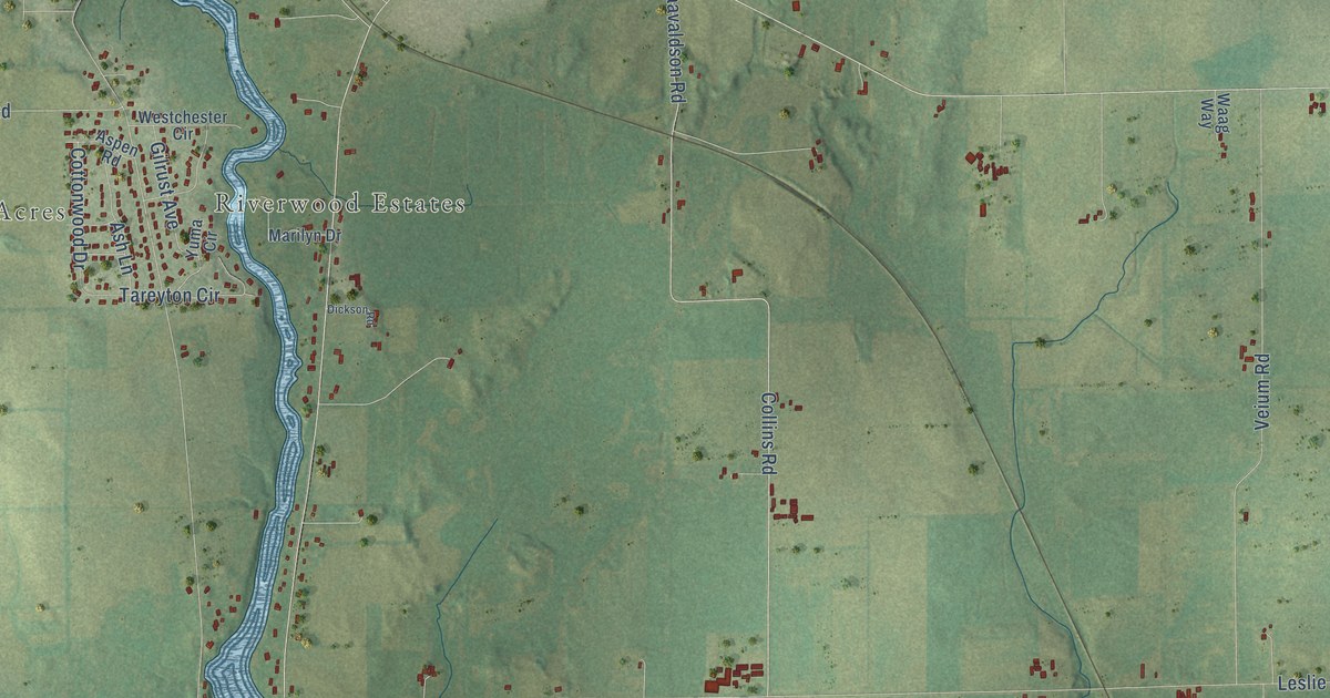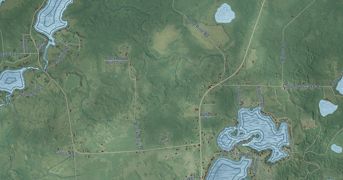
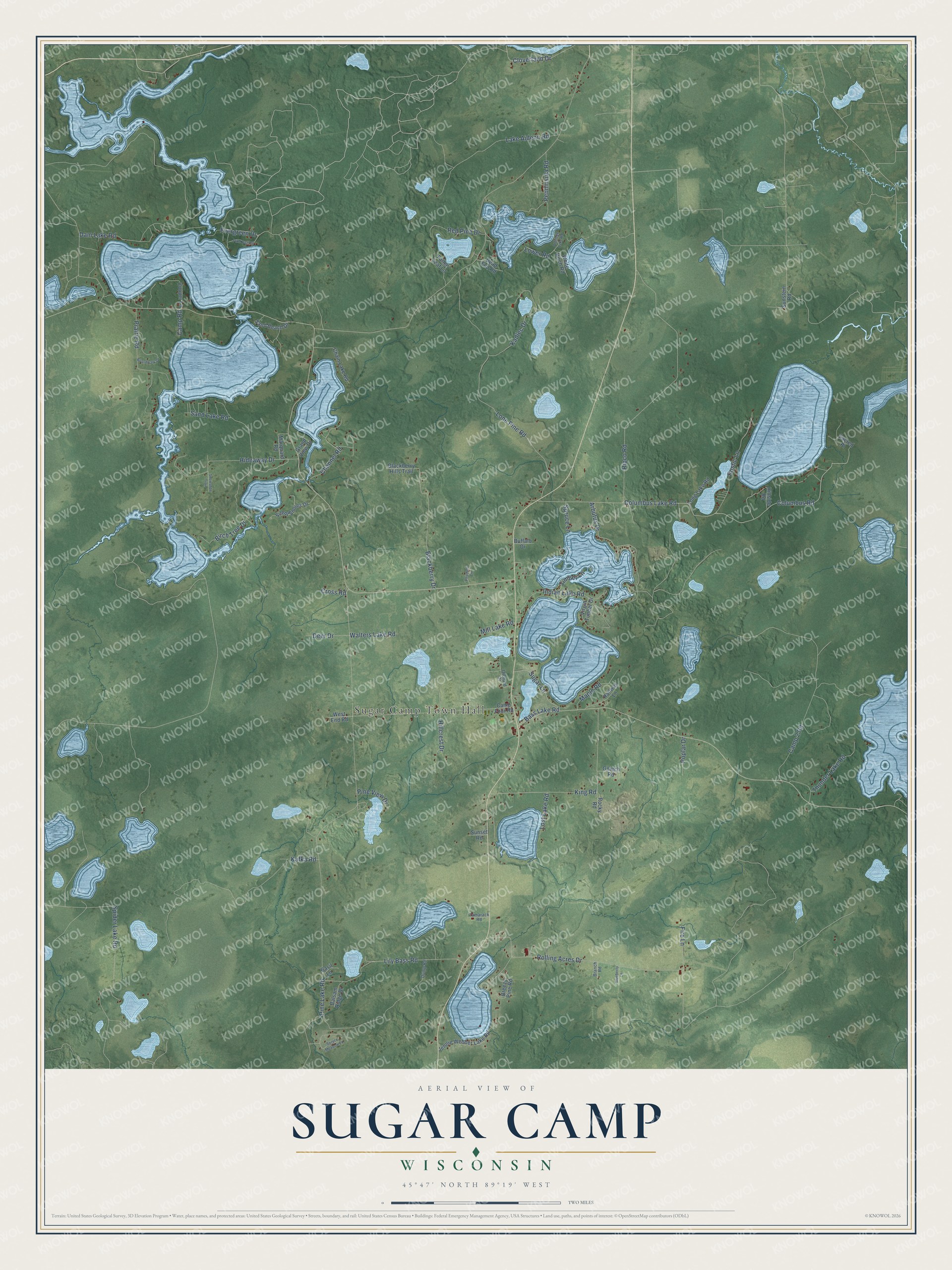
This beautifully detailed map of Sugar Camp, Wisconsin was created in 2026 using aerial imagery combined with modern topographical, census, street and landmark data. It's a modern aerial view of Sugar Camp in Oneida County, Wisconsin, that combines modern data with a vintage aesthetic. The roads feature printed names, and if you look closely you can find your exact house accurately shown in its correct location.
Explore an aerial view of Sugar Camp, Wisconsin
On this map you'll find Sugar Camp Town Hall, Cloverland Drive, Thunder Lake Road, Lower Road, Pine Lake Road, Ripco Road, Fire Lane, Columbus Lake Road, Columbus Road, Lone Pine Road, Rolling Acres Drive, King Road, and more. Each red shape is a building, so zoom in on the preview and look for yours.
Sugar Camp has a story worth telling. The History of Lincoln Oneida and Vilas Counties puts it this way: "Robbins, a small community center in the town of Sugar Camp, on the line between Sections 11 and 12, Township 39 of Range 9 east, was founded in the flourishing days of the logging industry here. The first settlement was made by Poles, who bought land of the Brown Bros.’ Lumber Company and started farms."
Sugar Camp is a town in Oneida County. The Census Bureau counted 1,819 people here in 2020.
Take a closer look at the Sugar Camp map
Names on this map
These names are printed on this map.
Places: Sugar Camp Town Hall.
Streets and roads: Cloverland Drive, Thunder Lake Road, Lower Road, Pine Lake Road, Ripco Road, Fire Lane, Columbus Lake Road, Columbus Road, Lone Pine Road, Rolling Acres Drive, King Road, Evergreen Drive.
More street names, A to Z
Aldridge Lake Road, Arbutus Drive, Balsam Ridge Drive, Basil Lane, Bass Lake Road, Birch Tree Drive, Blackberry Drive, Blackberry Hills Trail, Blueberry Lane, Boardwalk Drive, Branch Road, Breezy Pine Road, Buffalo Drive, Camp 2 Road, Camp Four Road, Camp Road, Chain Lake Road, Channel Road, Cooper Lane, Cross Road, Dam Lake Road, Dead End Road, Deer Drive, Dump Road, Fallen Leaf Lane, Gniech Road, Grand View Drive, Hideaway Drive, Hillcrest Drive, Hillside Road, Indian Lake Road, Jennie Webber Lake Road, Kadlec Drive, Kafka Road, Lake Aidenn Road, Lily Bass Road, Long Lake Road, Lost Lake Road, Maple Road, Marquard Road, Mill Lake Road, Orchard Drive, Penninsula Road, Phyltony Lane, Pike Bay Road, Pine View Drive, Poplar Drive, Prairie Road, Railway Lane, Red Pine Drive, Rocky Road, Rustic Lane, Sacred Place, Sand Beach Drive, Sand Lake Road, Silent Shores Drive, Snowshoe Trail, Spider Lake Road, Spruce Lane, Spruce Meadow Lane, Sugar Lane, Sunset Road, Sunstein Road, Tamarack Road, Timber Lane, Virgin Timber Drive, Walters Lake Road, West End Road, White Birch Road.
Created by KNOWOL in 2026. The buildings are small red shapes, the roads carry their printed names, and shaded relief shows the shape of the land. The title panel reads "AERIAL VIEW OF SUGAR CAMP, WISCONSIN" with 45°47' NORTH 89°19' WEST.
It looks right in a kitchen, an office or a den, and it's a gift for anyone who grew up in Sugar Camp or moved away. Open the preview and find your street. See sizes and frames for the Sugar Camp map.