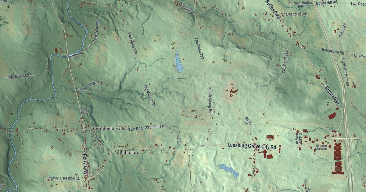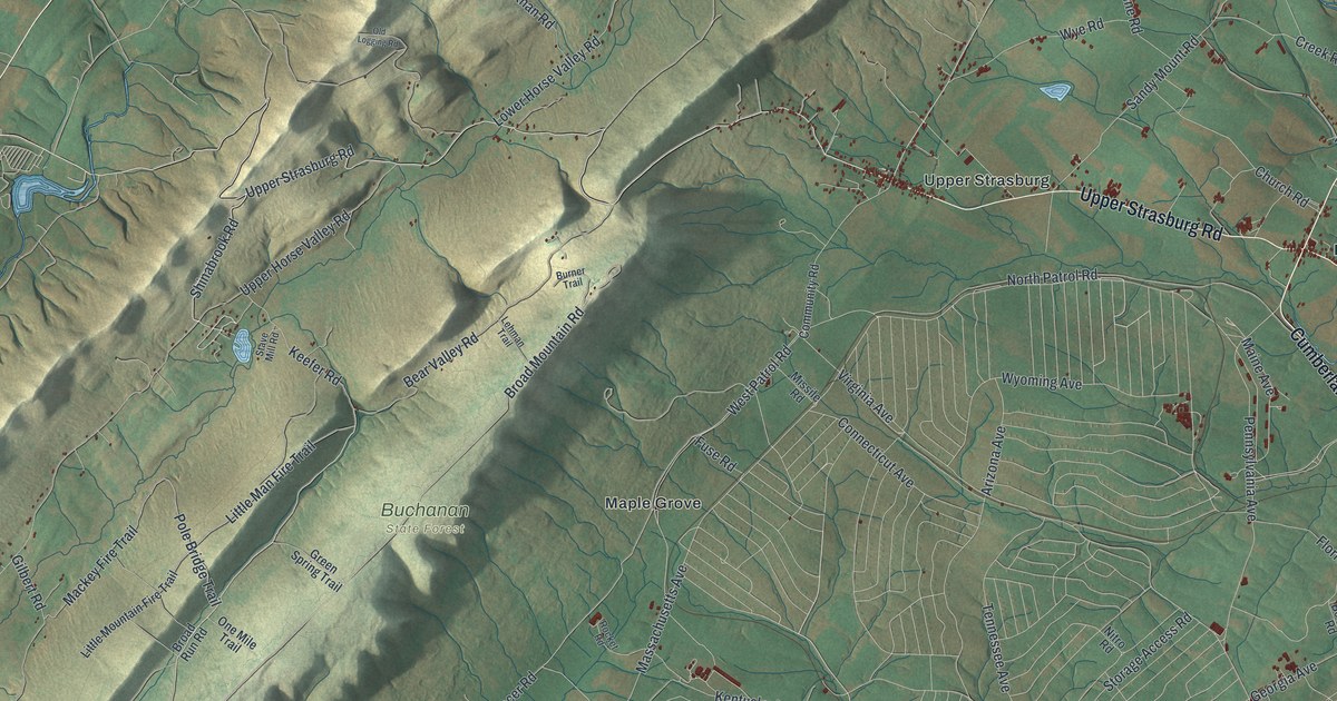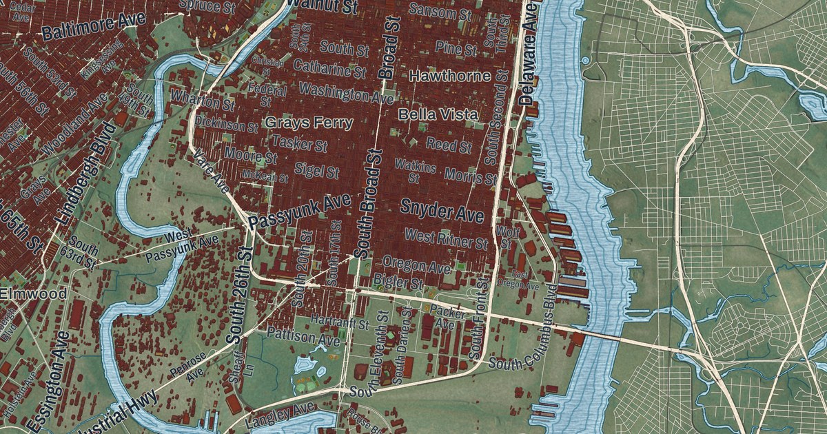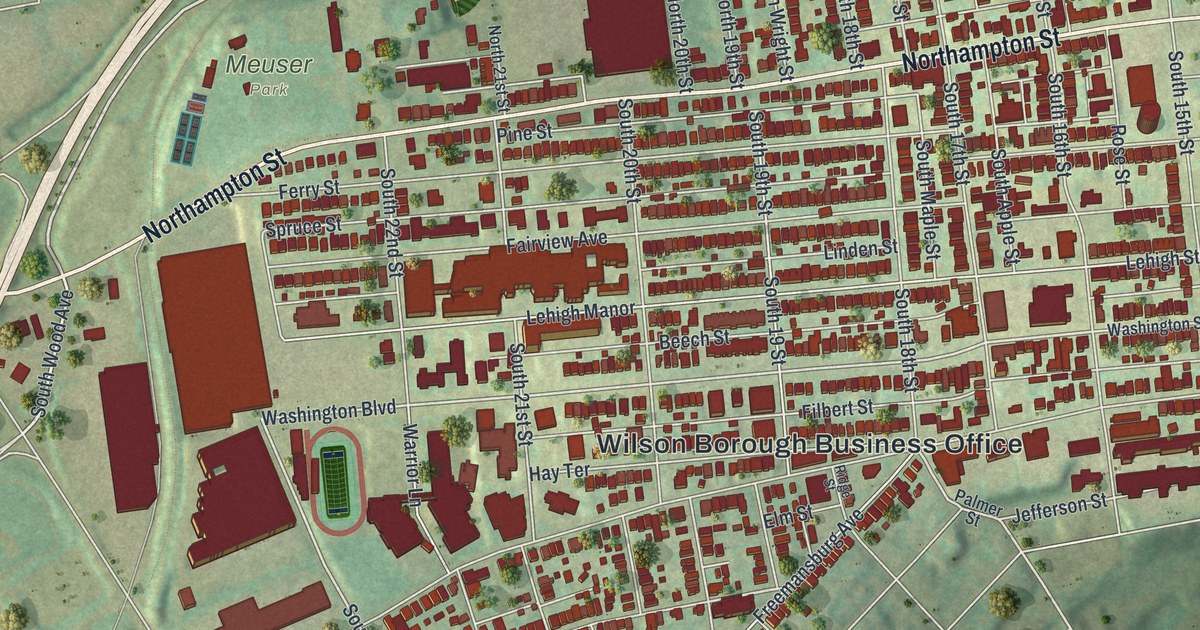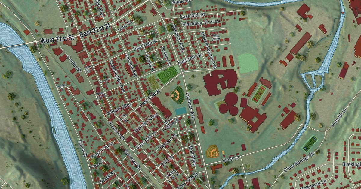
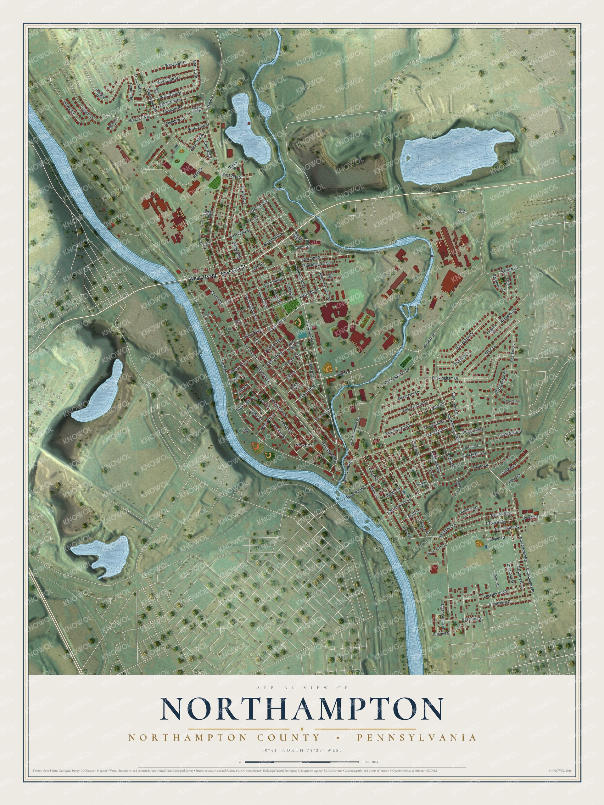
This beautifully detailed map of Northampton, Northampton County, Pennsylvania was created in 2026 using aerial imagery combined with modern topographical, census, street and landmark data. It's a modern aerial view of Northampton, Northampton County in Northampton County, Pennsylvania, that combines modern data with a vintage aesthetic. The roads feature printed names, and if you look closely you can find your exact house accurately shown in its correct location.
Explore an aerial view of Northampton, Northampton County, Pennsylvania
On this map you'll find Newport, East 21st Street, West 21st Street, Northampton Avenue, Barrington Drive, Railroad Alley, West 14th Street, West 28th Street, Laubach Avenue, East 17th Street, Vine Street, Main Street, and more. Each red shape is a building, so zoom in on the preview and look for yours.
Northampton, Northampton County has a story worth telling. The Northampton Area Historical Society puts it this way: "The Borough of Northampton as we know it today was originally part of Allen Township. Thanks to new evolving transportation systems of the 19th century and the newly erected cement industry, three separate villages sprang up in close proximity along the Lehigh River. By 1902, the villages had gained enough population to come together as a separate borough."
Northampton, Northampton County is a borough in Northampton County. The Census Bureau counted 10,395 people here in 2020.
Take a closer look at the Northampton, Northampton County map
Names on this map
These names are printed on this map.
Places: Newport.
Streets and roads: East 21st Street, West 21st Street, Northampton Avenue, Barrington Drive, Railroad Alley, West 14th Street, West 28th Street, Laubach Avenue, East 17th Street, Vine Street, Main Street, Washington Avenue.
More street names, A to Z
15th Street, 17th Street, Adaire Court, Adaire Street, Almond Street, Anthony Drive, Apple Street, Atlas Court, Atlas Lane, Banks Street, Beil Alley, Birch Court, Boro Vu Drive, Brick Kiln Court, Bridge Alley, Buckingham Drive, Canal Street, Candlewycke Lane, Carp Alley, Catasauqua Street, Cedar Alley, Cedar Street, Center Road, Center Street, Cherry Street, Cherryville Road, Clear Springs Drive, Coventry Court, Dewey Avenue, Diamond Street, Dimler Alley, East 13th Street, East 14th Street, East 16th Street, East 18th Street, East 19th Street, East 20th Street, East 22nd Street, East 23rd Street, East 24th Street, East Eighth Street, East Eleventh Street, East Fifth Street, East First Street, East Fourth Street, East Ninth Street, East Second Street, East Seventh Street, East Tenth Street, East Twelfth Street, Eighth Street, Elm Alley, Evans Street, Fir Alley, Frank Drive, Franklin Street, Greenview Drive, Held Drive, Hickory Court, Hokendauqua Avenue, Hollow Lane, Horwith Drive, Howertown Road, Hudson Court, Jeffrey Lane, Juniper Court, Keglovits Lane, Keichel Alley, Kingston Court, Kingston Drive, Lerchenmiller Drive, Lilac Court, Limestone Alley, Lincoln Avenue, Line Alley, Line Avenue, Lumber Street, Marble Street, Marlin Alley, McKeever Lane, Meadow Lane, Michael Court, Mike Lisetski Drive, Newport Avenue, North Grape Street, Oakland Drive, Osbourn Alley, Pear Alley, Pearl Street, Penn Court, Pine Alley, Pinehurst, Poplar Street, Portland Street, Railroad Street, Ridge Alley, Ridge Street, Roeth Line Court, Ruth Street, Salmon Alley, Scarboro Lane, Schriber Court, Siegfried Avenue, Sipos Drive, Sixth Street, Smith Lane, Sr4003, Stark Street, Station Alley, Stewart Street, Sycamore Court, Terrace Drive, Towpath Road, Trout Alley, Tuna Alley, Universal Street, Vienna Street, Vine, Walker Drive, West 16th Street, West 17th Street, West 18th Street, West 19th Street, West 22nd Street, West 23rd Street, West 25th Street, West 26th Street, West 27th Street, West 29th Street, West 30th Street, West Fourth Street, West Ninth Street, West Tenth Street, Whittle Alley, William Street, Wynnewood Drive.
See it on a wall
The Northampton, Northampton County map as a framed print. Swipe for more.


Created by KNOWOL in 2026. The buildings are small red shapes, the roads carry their printed names, and shaded relief shows the shape of the land. The title panel reads "AERIAL VIEW OF NORTHAMPTON, NORTHAMPTON COUNTY • PENNSYLVANIA" with 40°41' NORTH 75°29' WEST.
It looks right in a kitchen, an office or a den, and it's a gift for anyone who grew up in Northampton, Northampton County or moved away. Open the preview and find your street. See sizes and frames for the Northampton, Northampton County map.