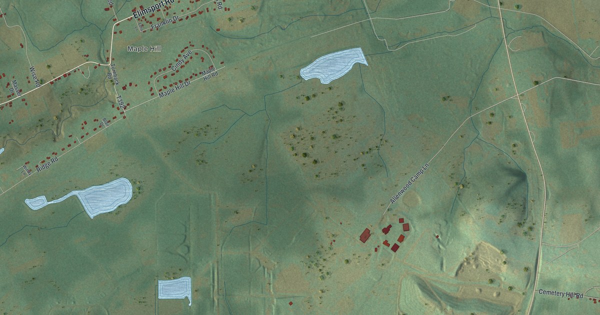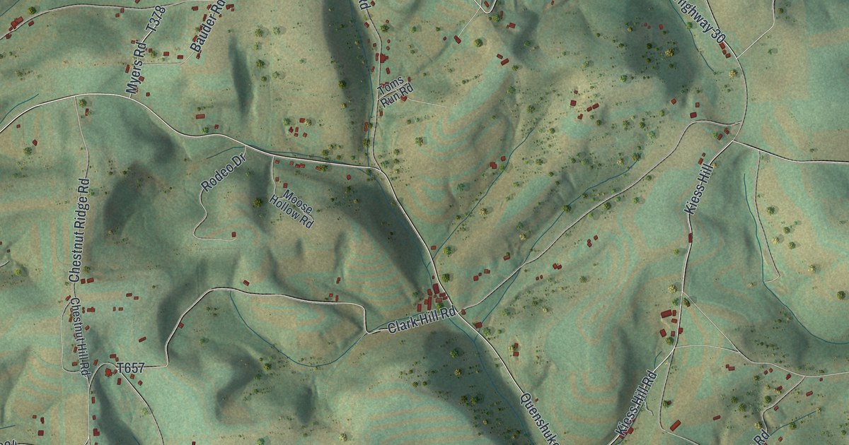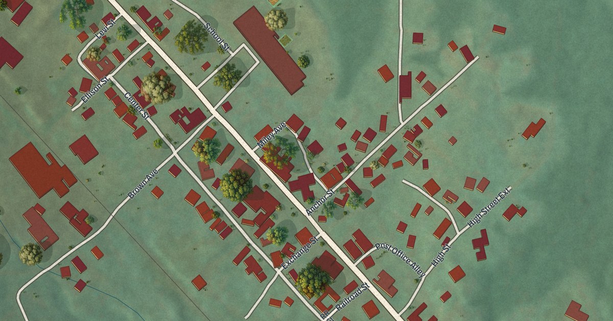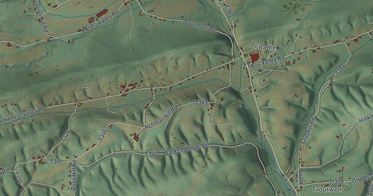
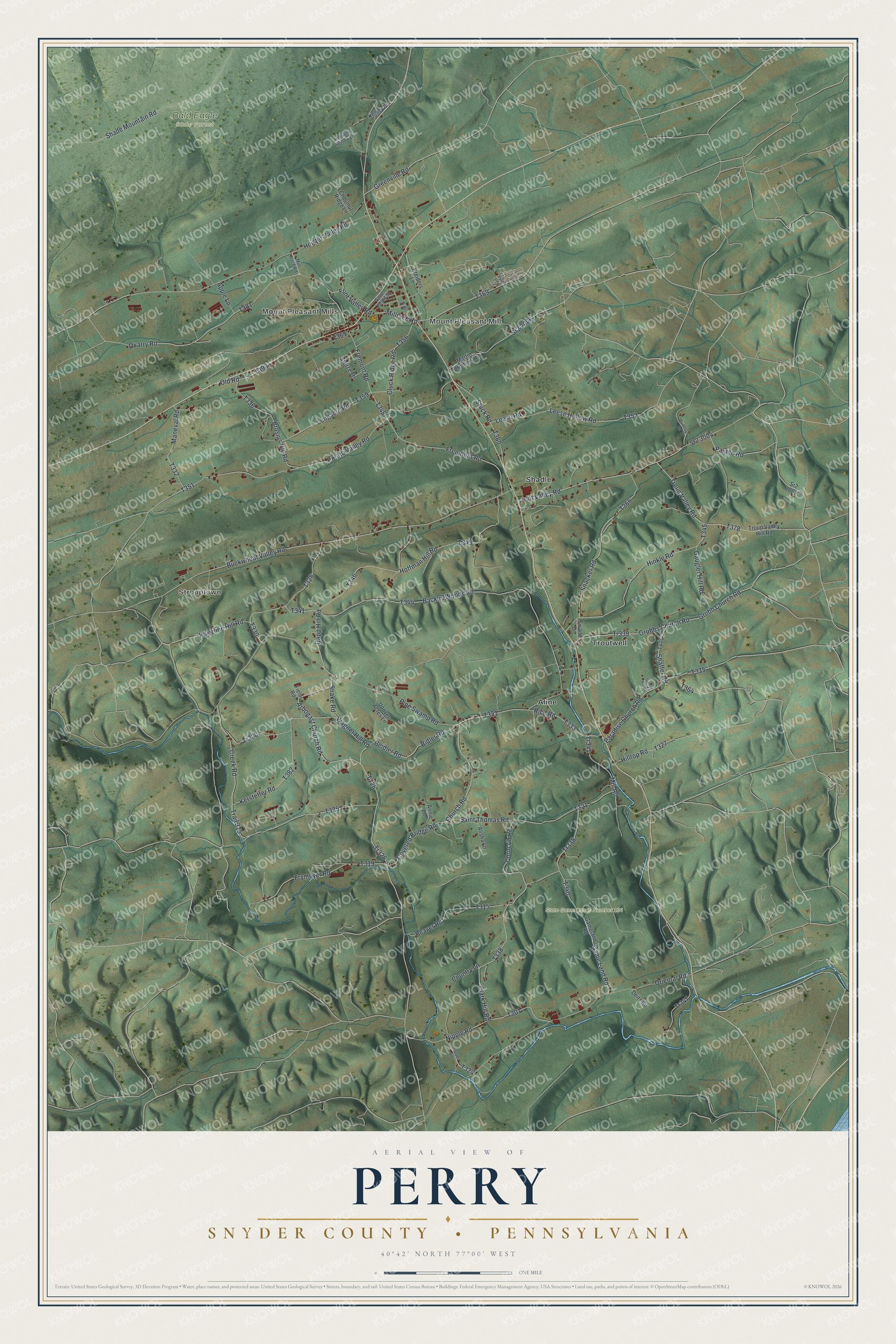
This beautifully detailed map of Perry, Snyder County, Pennsylvania was created in 2026 using aerial imagery combined with modern topographical, census, street and landmark data. It's a modern aerial view of Perry, Snyder County in Snyder County, Pennsylvania, that combines modern data with a vintage aesthetic. The roads feature printed names, and if you look closely you can find your exact house accurately shown in its correct location.
Explore an aerial view of Perry, Snyder County, Pennsylvania
On this map you'll find Mount Pleasant Mills, Mount Pleasant Mill, Strouptown, Bald Eagle State Forest, State Game Lands Number 194, Aline, Shadle, Troutwell, Arbogast Church Road, T326, Tr326, T328, and more. Each red shape is a building, so zoom in on the preview and look for yours.
Perry, Snyder County has a story worth telling. The Susquehanna and Juniata Valleys History puts it this way: "A stone grist and saw-mill at Aline post-office. Perry township, was built by General Adam Leight in 1831. Jacob Lenig made the stone wall."
Perry, Snyder County is a place in Snyder County. The Census Bureau counted 2,070 people here in 2020.
Take a closer look at the Perry, Snyder County map
Names on this map
These names are printed on this map.
Places: Mount Pleasant Mills, Mount Pleasant Mill, Strouptown, Bald Eagle State Forest, State Game Lands Number 194, Aline, Shadle and Troutwell.
Streets and roads: Arbogast Church Road, Tr326, Bidler Road, Flint Valley Road, Beidler Road, Troup Valley Road, Millrace Road, Rapp Hill Road, Freemont Road, Heister Valley Road, Quarry Road, Hoffman Hill Road.
More street names, A to Z
Alisha Lane, Annie Lane, Apple Lane, Backus Woods Road, Beaver Road, Bluberry Road, Brosius Hill Road, Buckwheat Valley Road, Chestnut Ridge Lane, Church Road, Clark Hill Road, Cluck Ridge Road, Corncrib Road, Country Lane, Covered Bridge Road, Creek Road, Deitz Road, Field Road, Fremont Road, Frymoyer Road, Game Land Road, Gameland Road, Gaugler Hill Road, Greenville Road, Grubb Church Road, Grubbs Church Road, Hemlock Hollow Lane, Hilltop Road, Hinkle Road, Kelsey Lane, Kerstetter Road, Kreiders Lane, Leese Hollow Road, Leese Road, Longacre Road, Maneval Road, Martin Brothers Road, Mill Race Road, Mill Road, Nipple Road, Old Road, Oriental Road, Palace Road, Paradise Church Road, Pine Swamp Road, Portzline Hill Road, Potato Valley Road, Pyles Lane, Rice Road, Saint John's Street, Saint Thomas Road, Shade Mountain Road, Shaffer Road, Sierre Drive, Snacker Road, Snake Road, Snapper Road, Sr2 2001, Sr2 2006, Sr2 3004, Stuck Road, Sunny Hill Drive, Swartz Drive, T-339, Tr320, Tr338, Tr341, Tr347, Trail 325, Troup Valley Hill Road, Trout Valley Road, Un Street, Upover Acres Lane, Wagner Hill Road.
See it on a wall
The Perry, Snyder County map as a framed print. Swipe for more.


Created by KNOWOL in 2026. The buildings are small red shapes, the roads carry their printed names, and shaded relief shows the shape of the land. The title panel reads "AERIAL VIEW OF PERRY, SNYDER COUNTY • PENNSYLVANIA" with 40°42' NORTH 77°00' WEST.
It looks right in a kitchen, an office or a den, and it's a gift for anyone who grew up in Perry, Snyder County or moved away. Open the preview and find your street. See sizes and frames for the Perry, Snyder County map.